
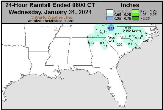
Delta/SE U.S. Daily Rain
This content is for members only
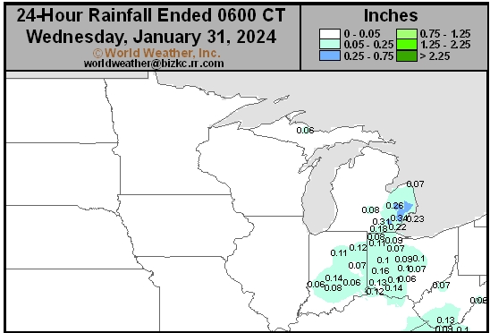
Corn Belt Daily Rain
This content is for members only
North Plains Daily Rain
This content is for members only
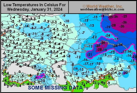
Low Temperature
This content is for members only
High Temperature
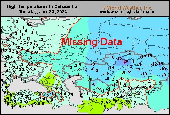
This content is for members only
CIS Rainfall
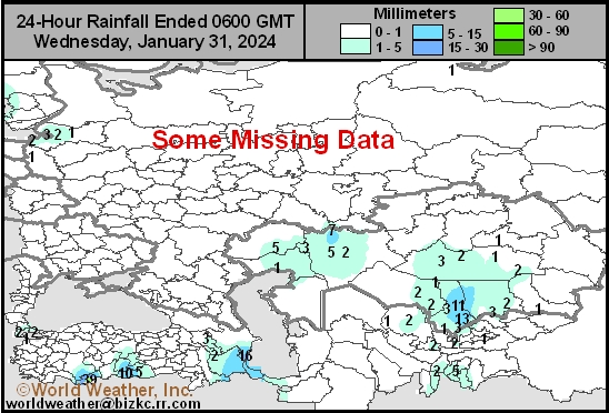
This content is for members only
Low Temperature
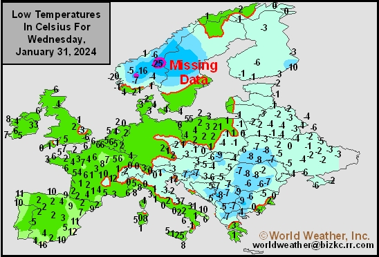
This content is for members only
High Temperature
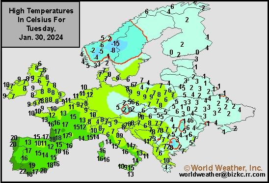
This content is for members only
Europe Rainfall
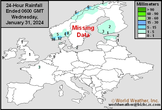
This content is for members only
Low Temperature
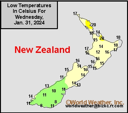
This content is for members only
High Temperature
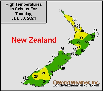
This content is for members only
New Zealand Rainfall
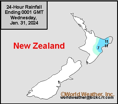
This content is for members only
Low Temperature
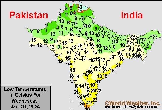
This content is for members only
High Temperature
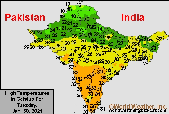
This content is for members only
India Rainfall
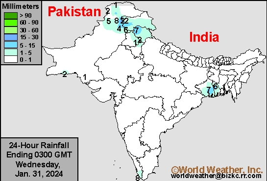
This content is for members only
Low Temperature
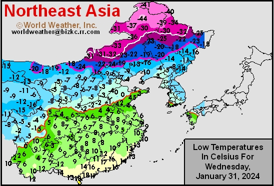
This content is for members only
Japan Rainfall
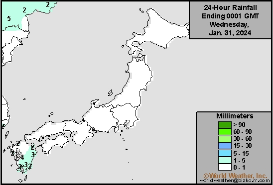
This content is for members only
Low Temperature
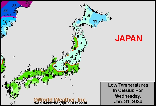
This content is for members only
High Temperature
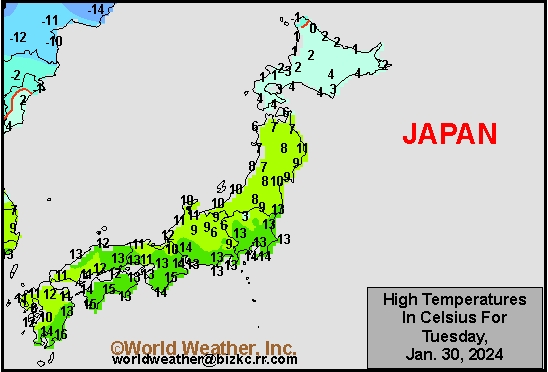
This content is for members only
High Temperature
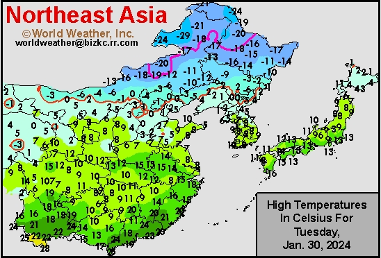
This content is for members only
China Rainfall
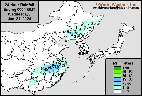
This content is for members only
Low Temperature
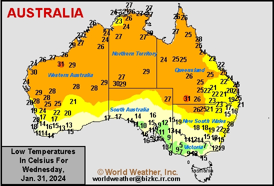
This content is for members only
High Temperature
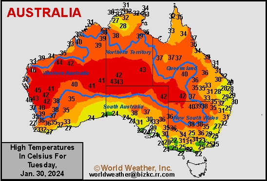
This content is for members only
Australia Rainfall
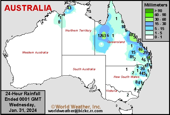
This content is for members only
California, U.S. Southwest To Be Impacted By Winter Storms
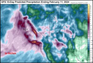
Kansas City, January 31 (World Weather Inc.) – A series of aggressive storm systems will rotate through a deep upper level trough of low pressure expected to push into western North America over the next few days. The storms will promote waves of rain and snow for California, the U.S. southwestern states and northwestern Mexico late this week through much of next week. Coastal flooding and damaging wind will impact many areas with heavy snow slated for portions of the Sierra Nevada. Port and shipping activity will be impacted because of rough seas, damaging wind and flooding rain and some of those conditions will advance inland impacting travel throughout California, including the mountains. Rain and snow will also reach portions of the U.S. southwestern states and northwestern Mexico where flash flooding is expected.
Minimal Rain Forecast for West Texas
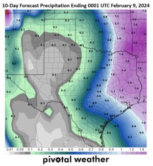
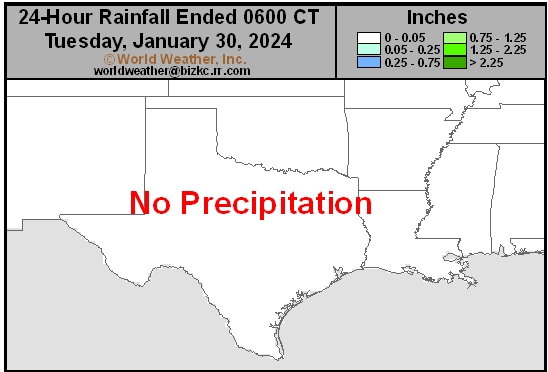
Kansas City, January 30 (World Weather Inc.) – West Texas soil conditions are rated favorably for this time of year, although rainfall has been less than normal during the last 90 days. Most of the moisture deficits are minimal except south of Lubbock where there is some need for moisture. Rainfall in the next 10 days will be minimal, though there is very little reason for much concern since the planting season is still several weeks away. However, the U.S. National Oceanic and Atmospheric Administration has suggested La Nina may develop aggressively during mid-year. If a notable La Nina event develops as quickly as predicted, summer may turn drier and warmer than usual raising the importance of favorable soil moisture during the spring planting season.
U.S. Midwest Will Trend Drier Biased After Recent Precipitation
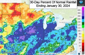
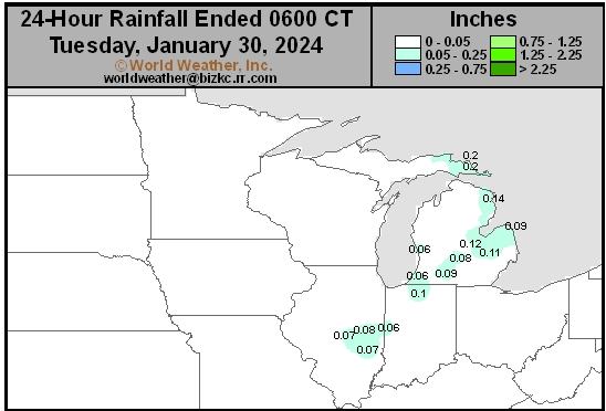
Kansas City, January 30 (World Weather Inc.) – Wetter-than-normal conditions were noted in a large section of the U.S. Midwest in recent weeks. Waves of rain and snow helped improve the moisture profile that will be beneficial for both winter wheat development and spring planting. Several areas in the western Corn and Soybean Belt and Ohio River Valley are still in a drought and would benefit from more precipitation in coming weeks. Precipitation will be limited during the next seven days in part due to a high-pressure ridge over North America. A disturbance tracking near the region could generate some rain in western and southern sections of crop country this weekend and early next week, though not enough will occur to improve soil moisture.
Weekly Citrus Weather for January 30, 2024
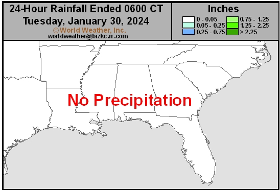
Kansas City, January 30 (World Weather Inc.) – Florida’s main citrus areas were drier and warmer than normal during the past week. Irrigation was run as-needed and continued to promote a good environment for tree and fruit development. A disturbance will likely bring rain to the region later this weekend and early next week, which should reduce the need for irrigation. Citrus conditions will remain good. In Brazil, many areas in western Sao Paulo and southwestern Minas Gerais dried down during the past week. The main citrus areas will see a good mix of erratic rain and sunshine in the coming days that will maintain relatively good crop conditions. Concern remains for lower than normal production this season due to citrus greening disease and adverse conditions earlier in the season. Mexico’s citrus areas were mostly dry during the past week and will not receive much rain in the coming week. Drought will spread and intensify.
Venezuela/Colombia Min Temps
This content is for members only
Venezuela/Colombia Max Temps
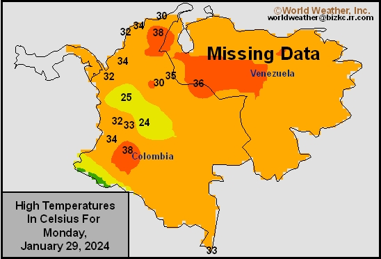
This content is for members only
SE Canada Min
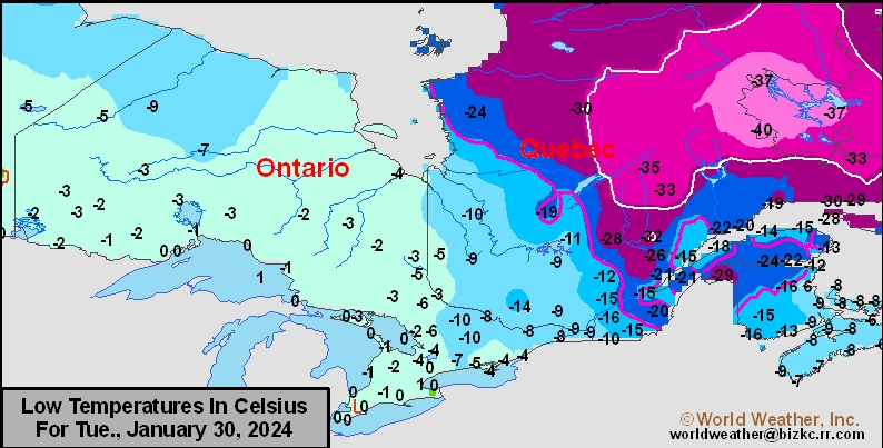
This content is for members only
SE Canada Max
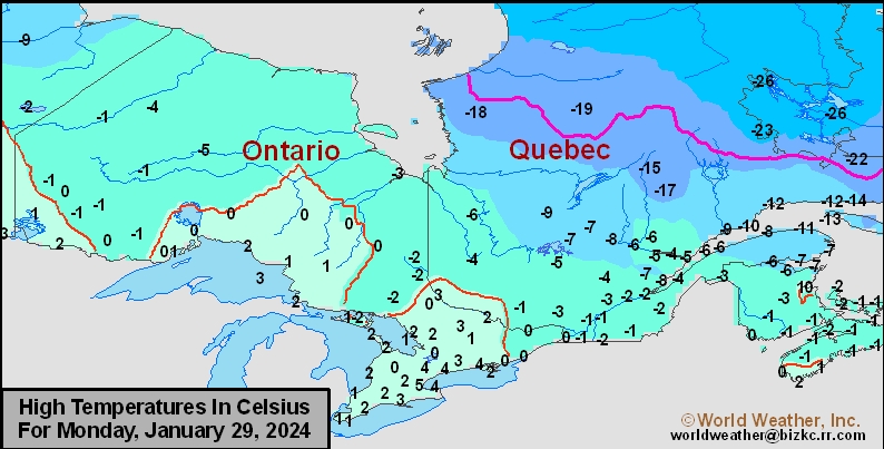
This content is for members only
SE Canada Rainfall
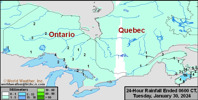
This content is for members only
Prairies Rainfall

This content is for members only
Prairies Max Temperature

This content is for members only
Prairies Min Temperature

This content is for members only
Canada Rainfall

This content is for members only
Venezuela Rainfall
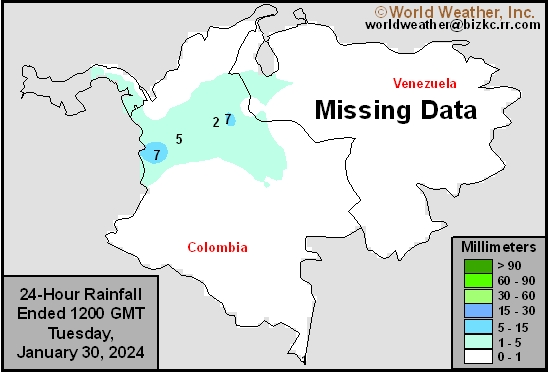
This content is for members only
Mexico Min Temperature
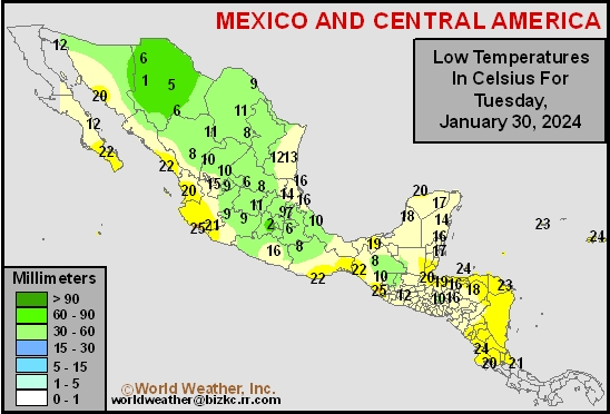
This content is for members only
Mexico Max Temperature
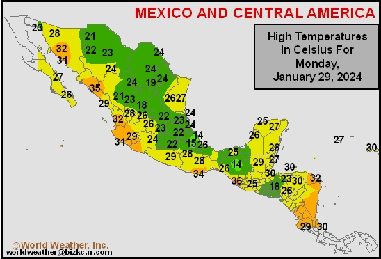
This content is for members only
Mexico Rainfall
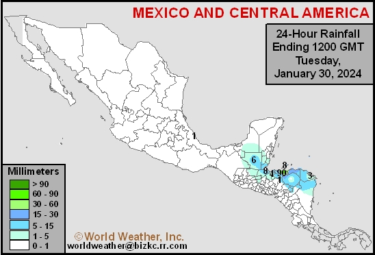
This content is for members only
Argentina Min Temperature
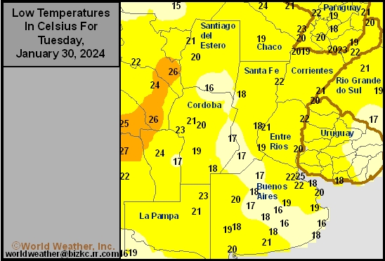
This content is for members only
Argentina Max Temperature
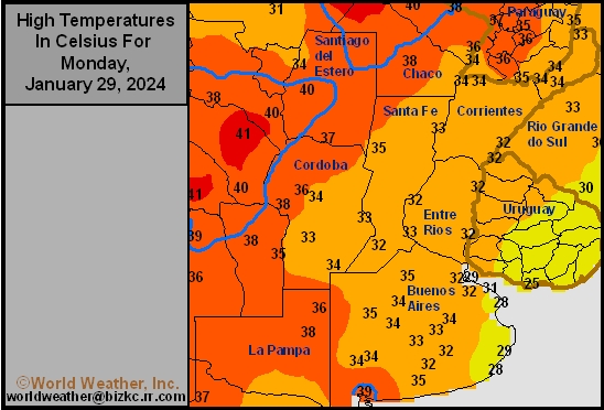
This content is for members only
Argentina Rainfall
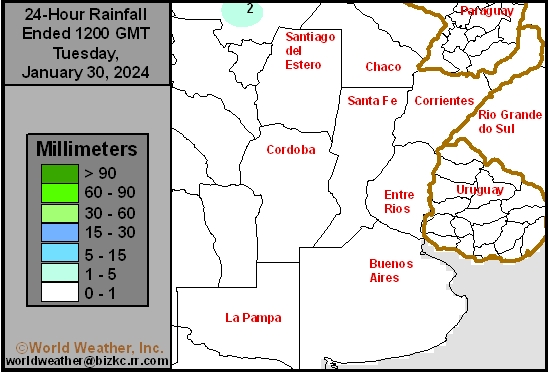
This content is for members only
Brazil Min Temperature
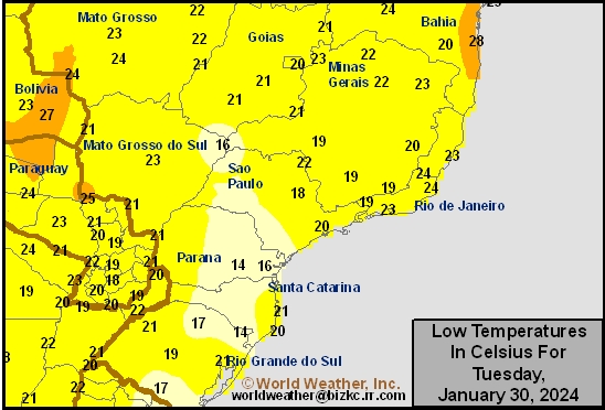
This content is for members only
Brazil Max Temperature
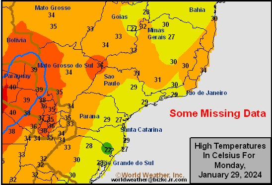
This content is for members only
Brazil Rainfall
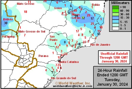
This content is for members only
Philippines Min
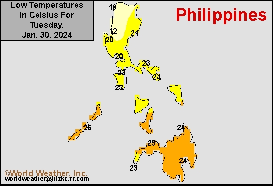
This content is for members only
Philippines Max
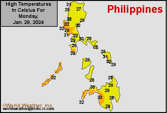
This content is for members only
Philippines Rain
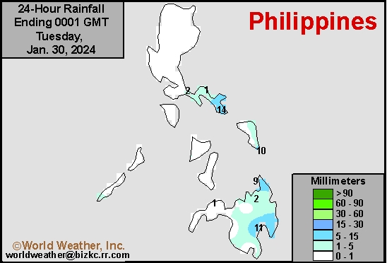
This content is for members only
Southeast North Rain
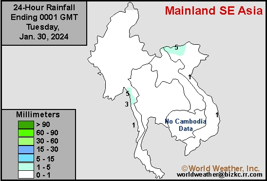
This content is for members only
Southeast North Min
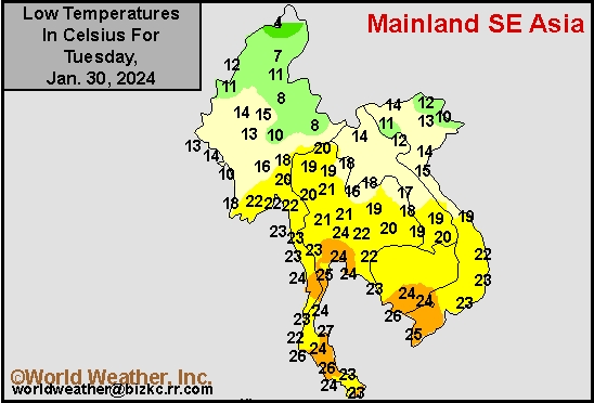
This content is for members only
Southeast North Max
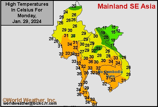
This content is for members only
Southeast Min
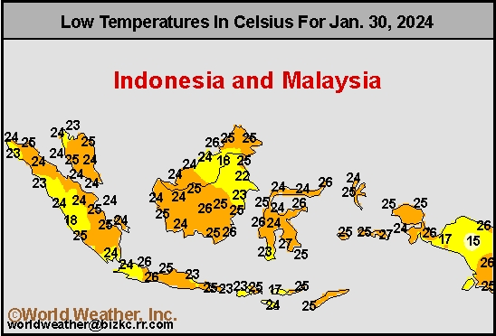
This content is for members only
Southeast Max
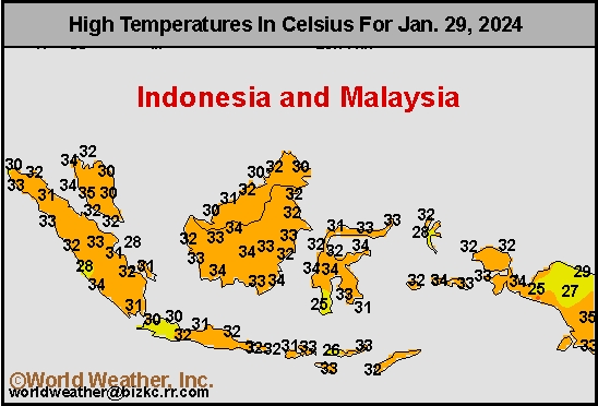
This content is for members only
Southeast Rain
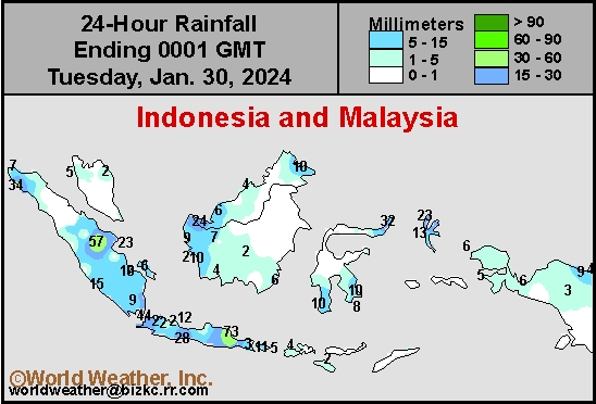
This content is for members only
West Africa Rain
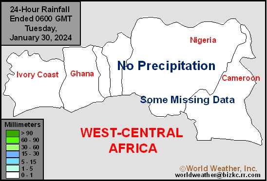
This content is for members only
Max Temperature
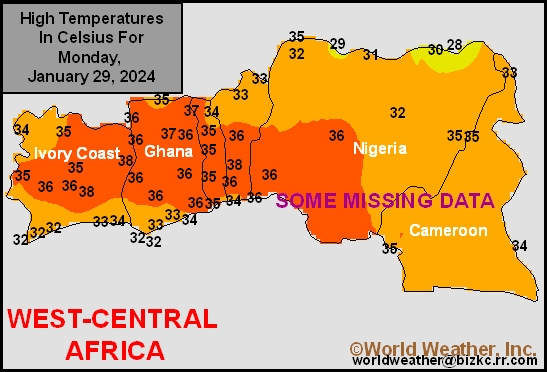
This content is for members only
Min Temperature
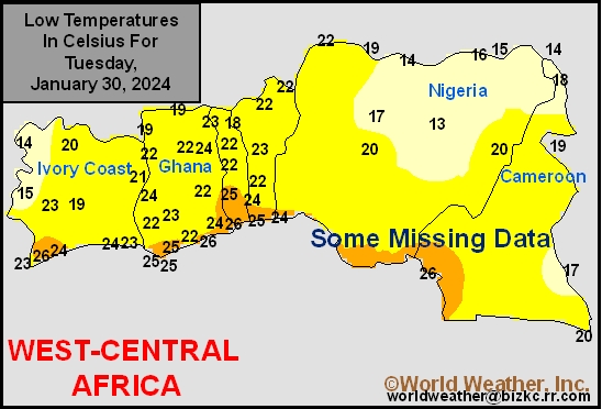
This content is for members only
North Africa Rain
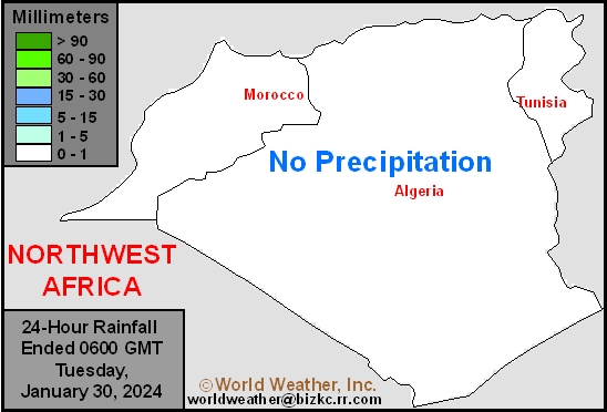
This content is for members only
Max Temperature
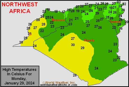
This content is for members only
Min Temperature
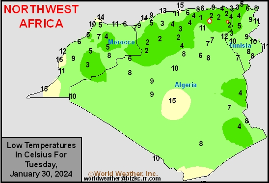
This content is for members only
Min Temperature
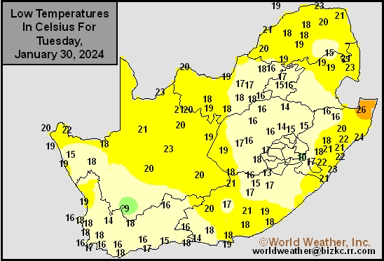
This content is for members only
Max Temperature
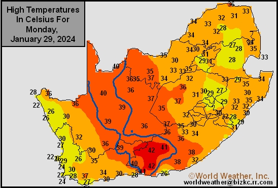
This content is for members only
South Africa Rain
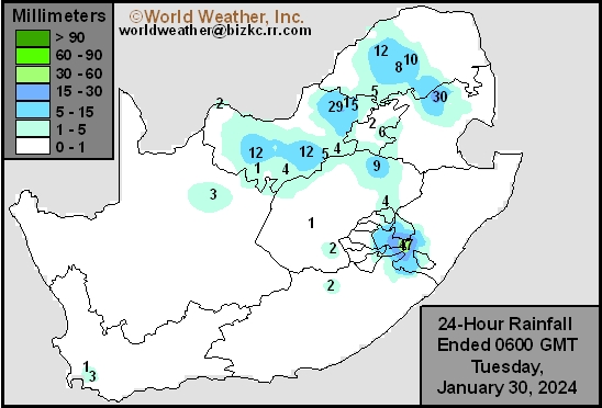
This content is for members only
Hard Red Wheat Tmin
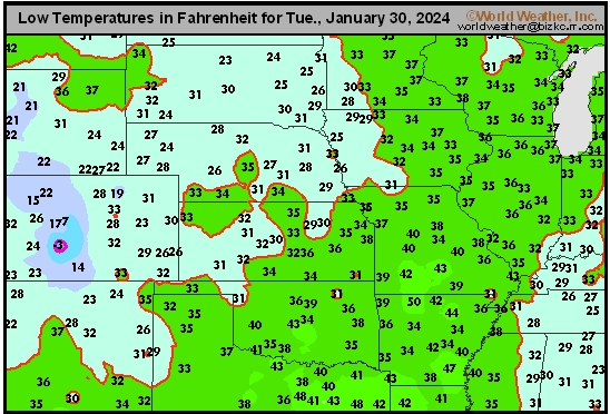
This content is for members only
Northeast Tmin
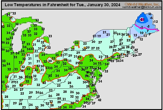
This content is for members only
Southwest Tmin
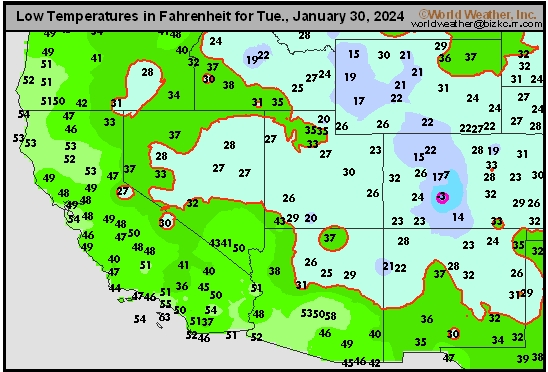
This content is for members only
Northwest Tmin
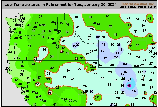
This content is for members only
South Plains Tmin
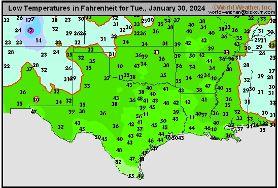
This content is for members only
Delta/SE U.S. Tmin
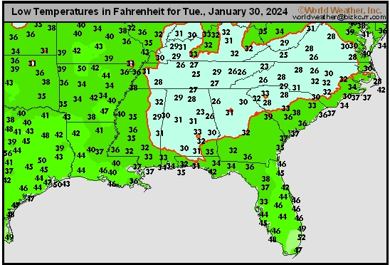
This content is for members only
Corn Belt Tmin
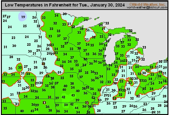
This content is for members only
US Min

This content is for members only
North Plains Tmin
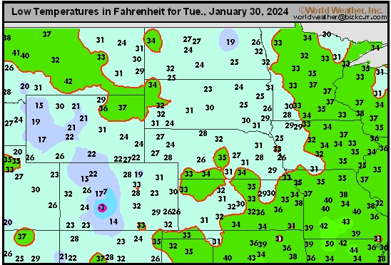
This content is for members only
Hard Red Wheat Tmax
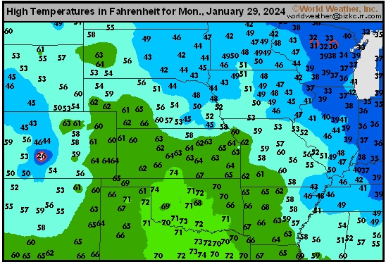
This content is for members only
Northeast Tmax
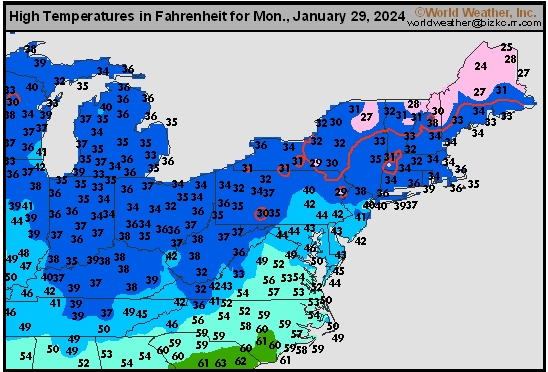
This content is for members only
Southwest Tmax
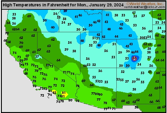
This content is for members only
Northwest Tmax
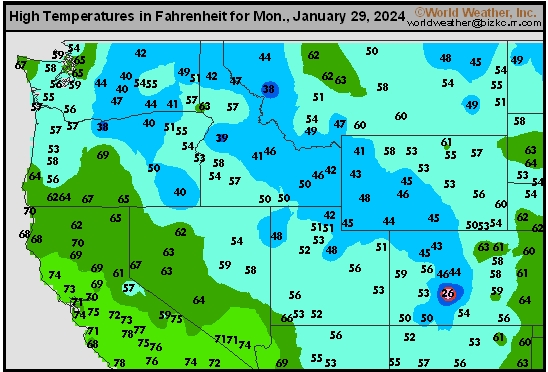
This content is for members only
South Plains Tmax
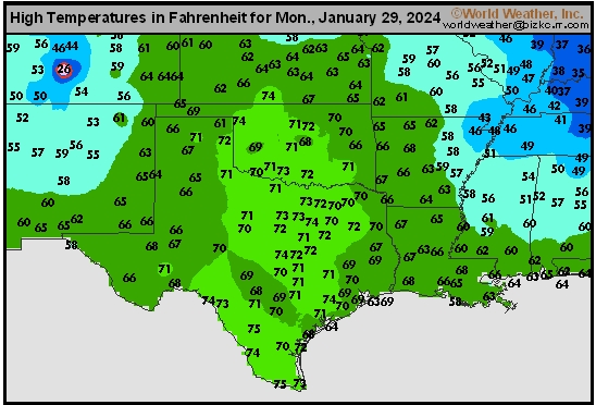
This content is for members only
Delta/SE U.S. Tmax
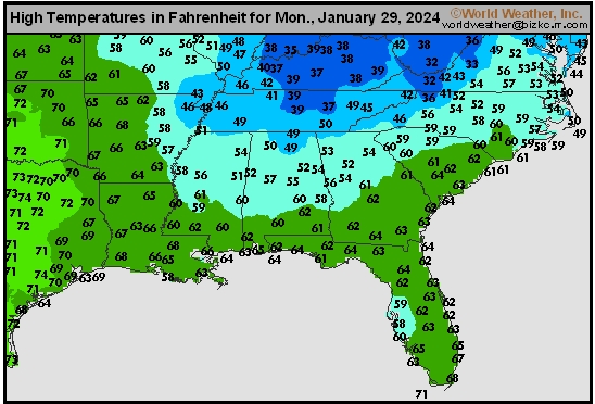
This content is for members only
Corn Belt Tmax
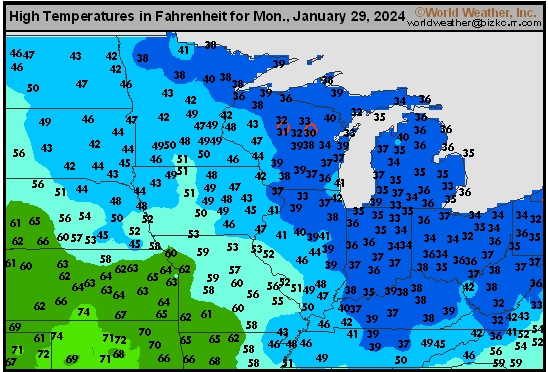
This content is for members only
North Plains Tmax
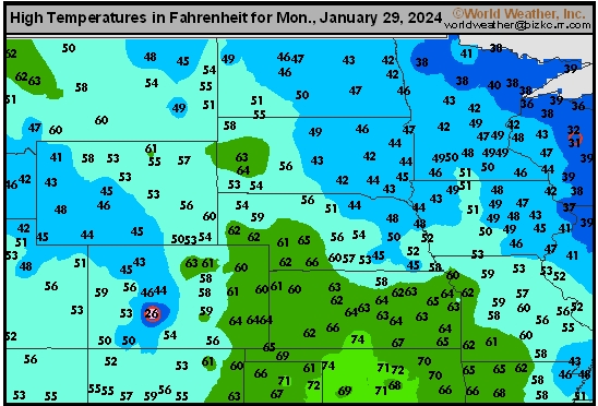
This content is for members only
US Max

This content is for members only
US Rain

This content is for members only
Northeast Daily Rain
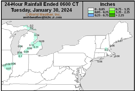
This content is for members only
Hard Red Wheat Daily Rain
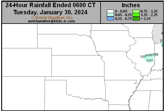
This content is for members only
Southwest Daily Rain
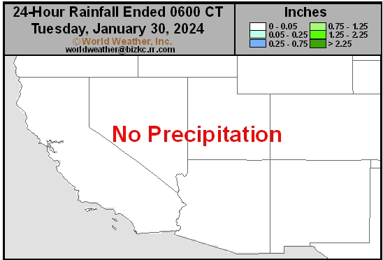
This content is for members only
Northwest Daily Rain
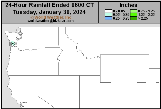
This content is for members only
South Plains Daily Rain
This content is for members only
Delta/SE U.S. Daily Rain
This content is for members only
Corn Belt Daily Rain
This content is for members only
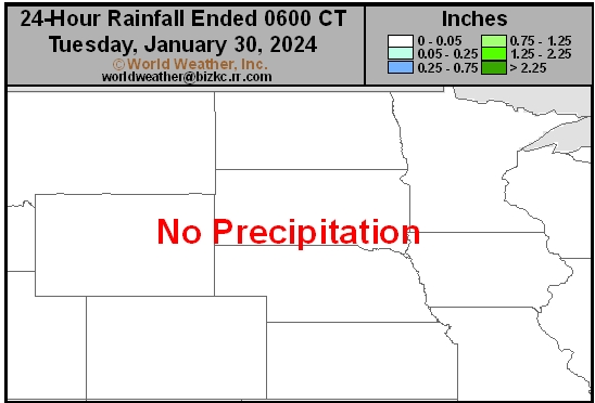
North Plains Daily Rain
This content is for members only
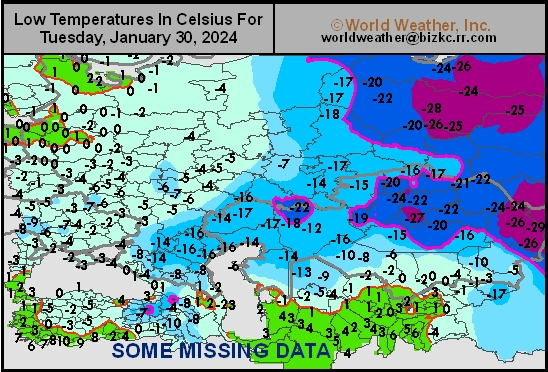
Low Temperature
This content is for members only
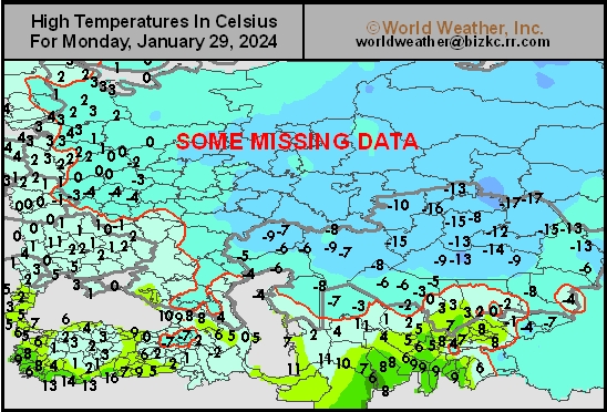
High Temperature
This content is for members only
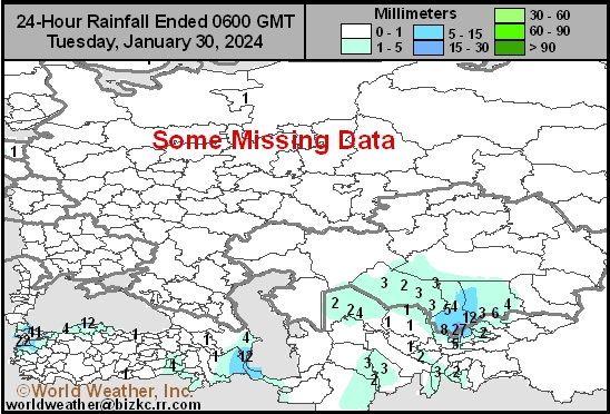
CIS Rainfall
This content is for members only
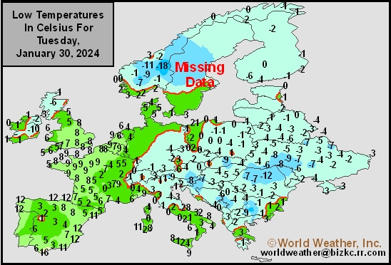
Low Temperature
This content is for members only
High Temperature
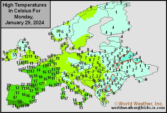
This content is for members only
Europe Rainfall
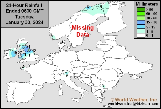
This content is for members only
Low Temperature
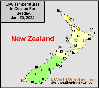
This content is for members only
High Temperature
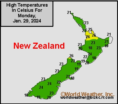
This content is for members only