
South Plains Daily Rain
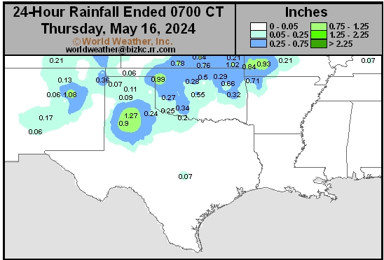
This content is for members only
Delta/SE U.S. Daily Rain
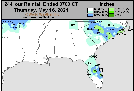
This content is for members only
Corn Belt Daily Rain
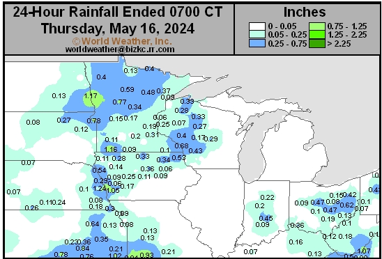
This content is for members only
North Plains Daily Rain
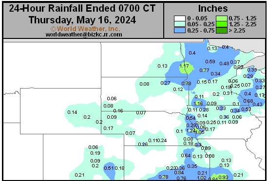
This content is for members only
Low Temperature
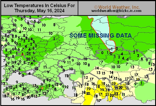
This content is for members only
High Temperature
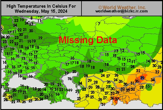
This content is for members only
CIS Rainfall
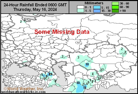
This content is for members only
Low Temperature
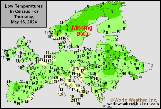
This content is for members only
High Temperature
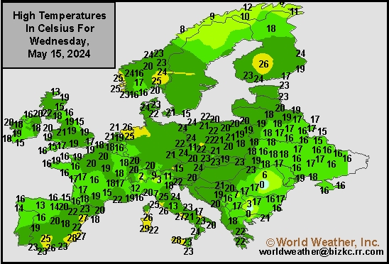
This content is for members only
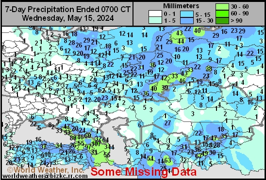
Europe Rainfall
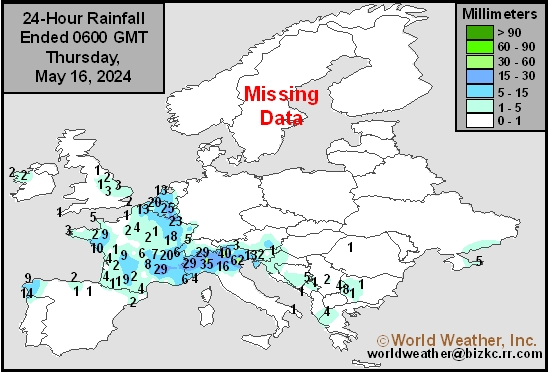
This content is for members only
Low Temperature
This content is for members only
High Temperature
This content is for members only
New Zealand Rainfall
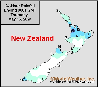
This content is for members only
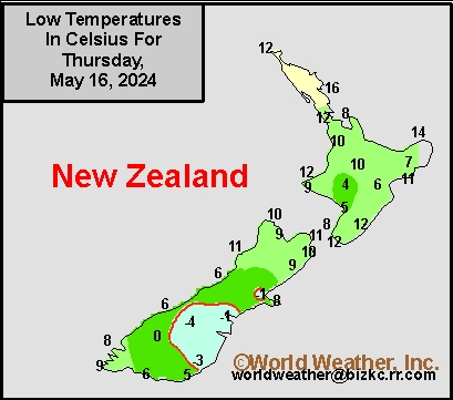
Low Temperature
This content is for members only
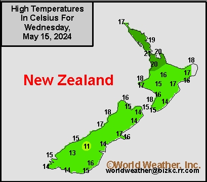
High Temperature
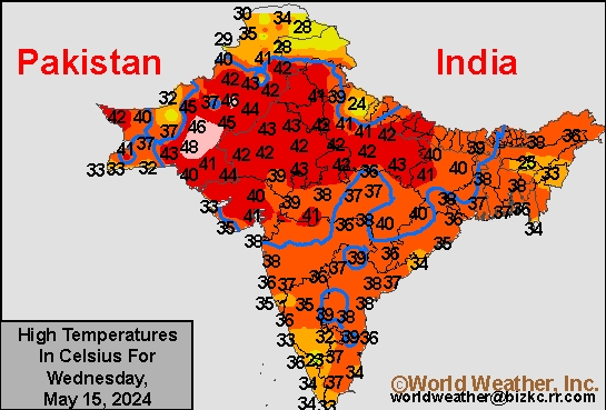
This content is for members only
India Rainfall
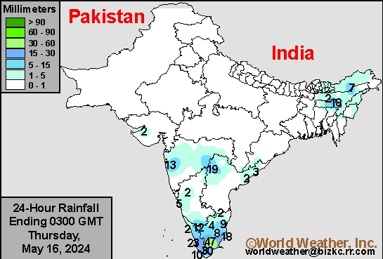
This content is for members only
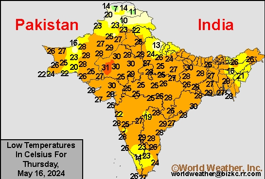
Low Temperature
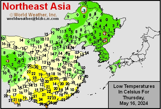
This content is for members only
Japan Rainfall
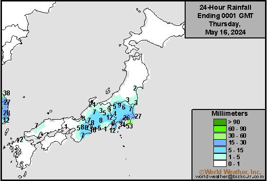
This content is for members only
Low Temperature
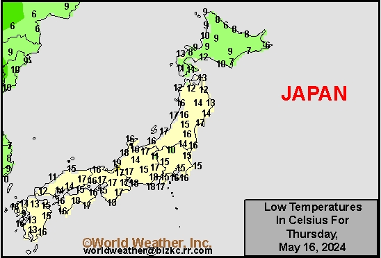
This content is for members only
High Temperature
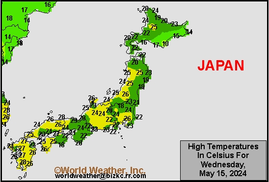
This content is for members only
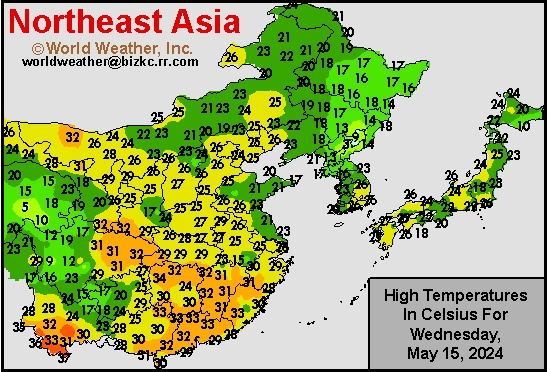
High Temperature
This content is for members only
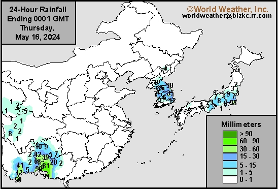
China Rainfall
This content is for members only
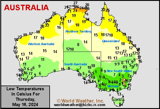
Low Temperature
This content is for members only
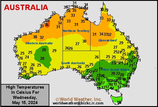
High Temperature
This content is for members only
Australia Rainfall
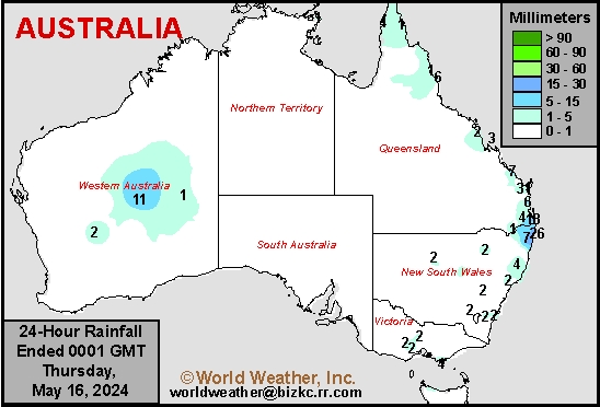
This content is for members only
7-Day Rainfall
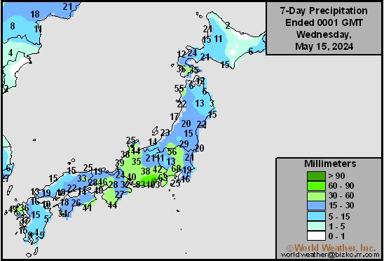
This content is for members only
7-Day Rainfall
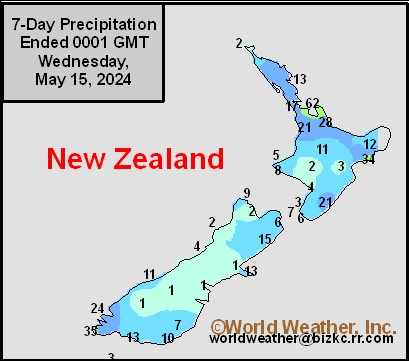
This content is for members only
7-Day Rainfall
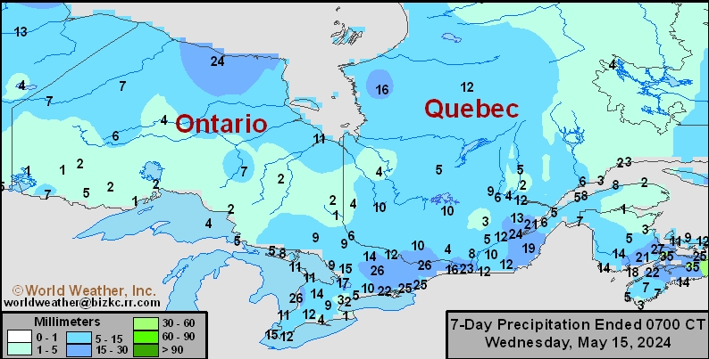
This content is for members only
7-Day Rainfall

This content is for members only
7-Day Rainfall

This content is for members only
7-Day Rainfall
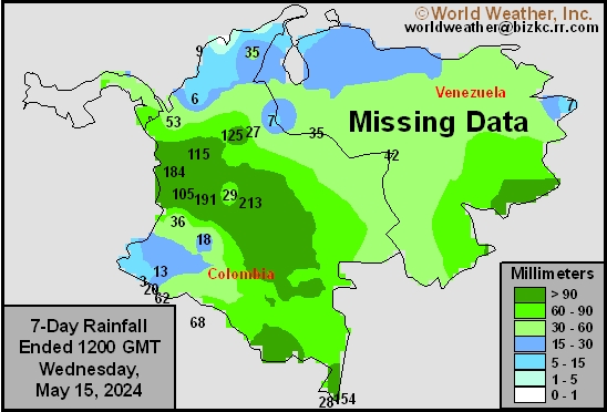
This content is for members only
7-Day Rainfall
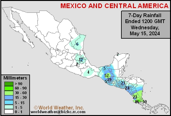
This content is for members only
Hard Red Wheat 7-Day Rain
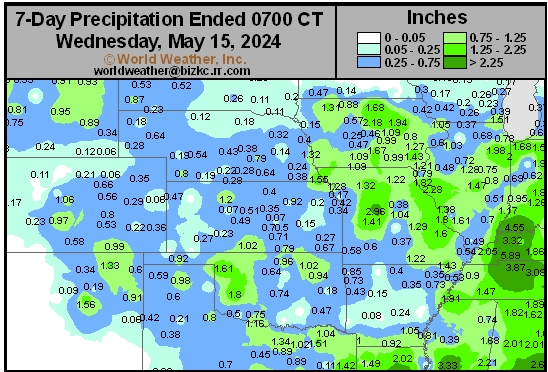
This content is for members only
Northeast 7-Day Rain
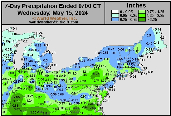
This content is for members only
Southwest 7-Day Rain
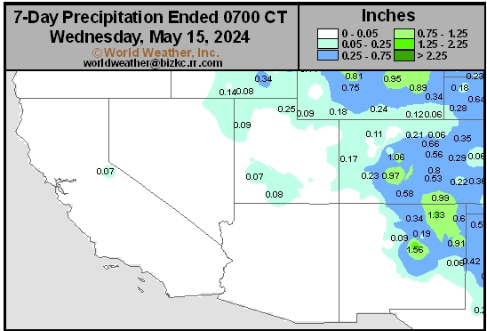
This content is for members only
Northwest 7-Day Rain
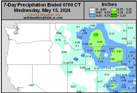
This content is for members only
South Plains 7-Day Rain
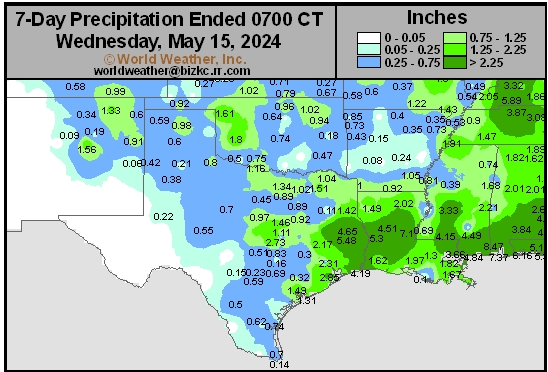
This content is for members only
Delta/SE U.S. 7-Day Rain
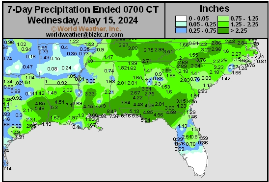
This content is for members only
Corn Belt 7-Day Rain
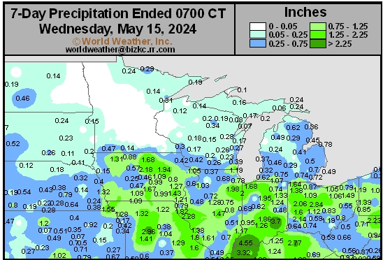
This content is for members only
North Plains 7-Day Rain
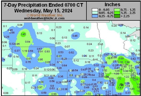
This content is for members only
7-Day Rainfall

This content is for members only
7-Day Rainfall
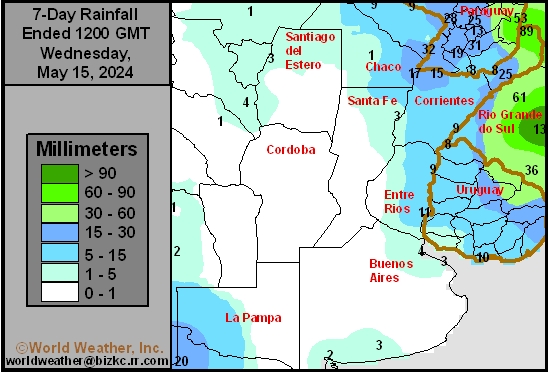
This content is for members only
7-Day Rainfall
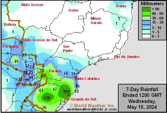
This content is for members only
7-Day Rainfall
This content is for members only
7-Day Rainfall
This content is for members only
7-Day Rainfall
This content is for members only
7-Day Rainfall
This content is for members only
7-Day Rainfall
This content is for members only
7-Day Rainfall
This content is for members only
7-Day Rainfall
This content is for members only
7-Day Rainfall
This content is for members only
7-Day Rainfall
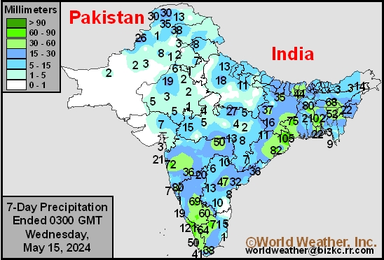
This content is for members only
7-Day Rainfall
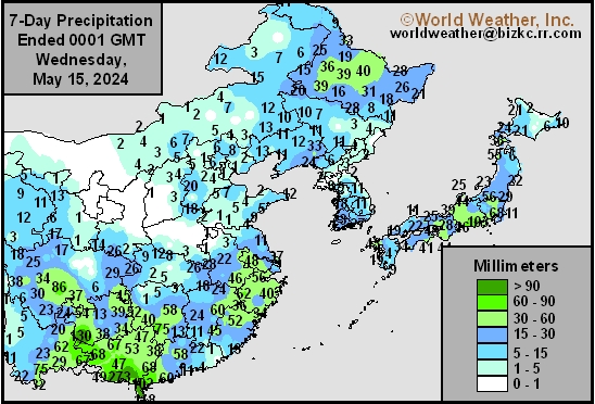
This content is for members only
7-Day Rainfall
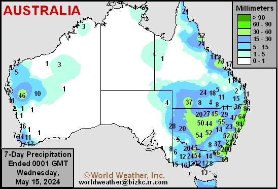
This content is for members only
Time Running Out On CIS Rain Potential; High Pressure Due
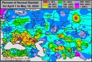
Kansas City, May 15 (World Weather Inc.) – Russia’s Central and Southern Regions have been beat up by crop damaging cold weather this month and while that has been ongoing, the soil from eastern Ukraine to western Kazakhstan has failed to get needed moisture. Rapeseed and some small grain production losses occurred this month as unusual cold brought damaging freezes to crop areas that had previously been quite warm. In the meantime, dryness remains a serious concern from eastern Ukraine and Russia’s Southern Region into western Kazakhstan. Time is running out for dryness relief before a new high pressure ridge develops aloft later this month. The ridge of high pressure will induce warmer-than-usual temperatures and further restrict rainfall making the next week to ten days very important for getting needed relief into these drier areas. Ongoing drought could have a bigger impact on Russia’s grain and oilseed production than the freeze event and the situation must be closely monitored.
France, Northern Italy Flood Potentials May Increase
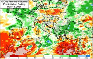
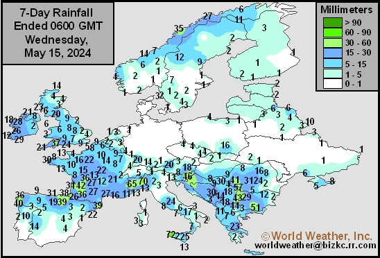
Kansas City, May 15 (World Weather Inc.) – A strong upper-level trough of low pressure will meander over Western Europe through early next week before shifting to the east a week from now. Waves of rain are slated for several locations in Western Europe and the Balkan Countries during this time with some of the most significant rain slated for France, northern Italy, and southern Germany where flooding will eventually be possible. General farming activity will be delayed by the rain which may lead to some crop quality issues for small grains and winter rapeseed. Production cuts are already expected this year because of freeze damage last month. The rain will be welcome in the driest areas of southeastern Europe and should support better long-term conditions for the summer grains and oilseeds.
India’s Monsoon Should Perform Well In 2024
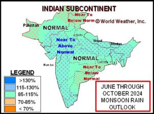
Kansas City, May 15 (World Weather Inc.) – A combination of Neutral ENSO conditions that give way to La Nina this summer and the positive phase of Indian Ocean Dipole should favor a good summer monsoon for the nation. Near to above normal precipitation is expected in many areas. Rainfall in the second half of this month is also expected to be greater than usual in far southern India because of a New Madden Julian Oscillation (MJO) event that will enhance pre-monsoonal showers and thunderstorms.
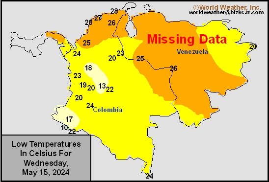
Venezuela/Colombia Min Temps
This content is for members only
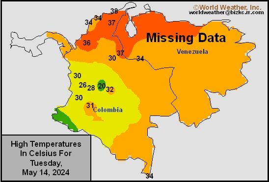
Venezuela/Colombia Max Temps
This content is for members only
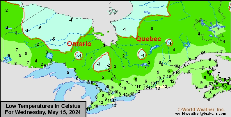
SE Canada Min
This content is for members only
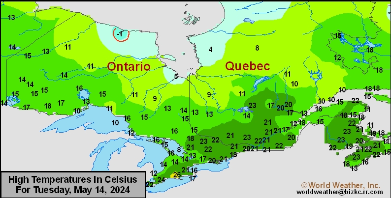
SE Canada Max
This content is for members only
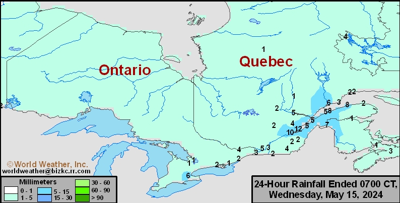
SE Canada Rainfall
This content is for members only
Prairies Rainfall

This content is for members only
Prairies Max Temperature

This content is for members only
Prairies Min Temperature

This content is for members only
Canada Rainfall

This content is for members only
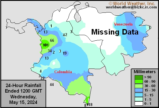
Venezuela Rainfall
This content is for members only
Mexico Min Temperature
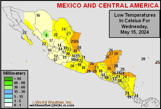
This content is for members only
Mexico Max Temperature
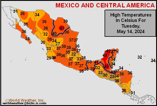
This content is for members only
Mexico Rainfall
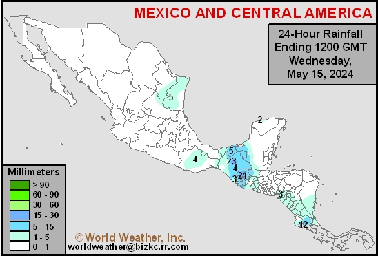
This content is for members only
Argentina Min Temperature
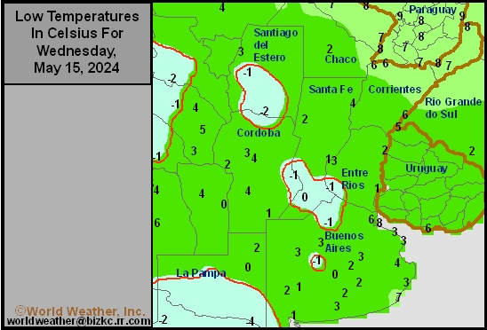
This content is for members only
Argentina Max Temperature
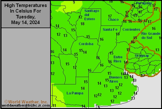
This content is for members only
Argentina Rainfall
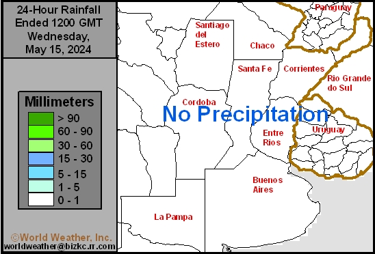
This content is for members only
Brazil Min Temperature
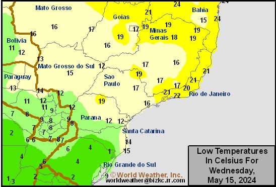
This content is for members only
Brazil Max Temperature
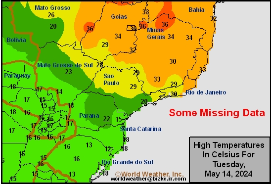
This content is for members only
Brazil Rainfall
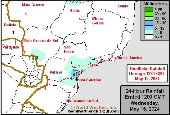
This content is for members only
Philippines Min
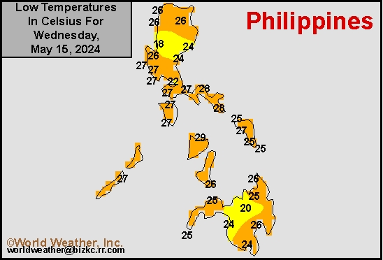
This content is for members only
Philippines Max
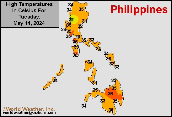
This content is for members only
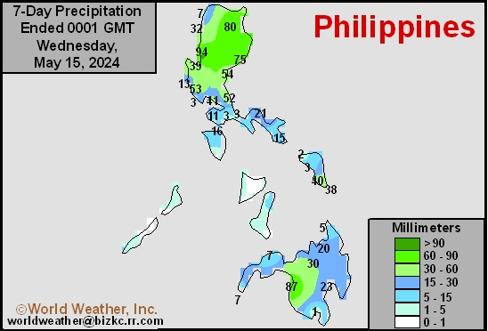
Philippines Rain
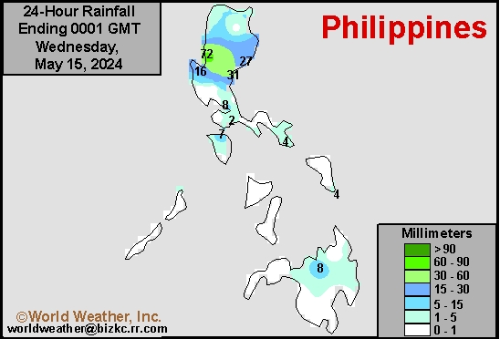
This content is for members only
Southeast North Rain
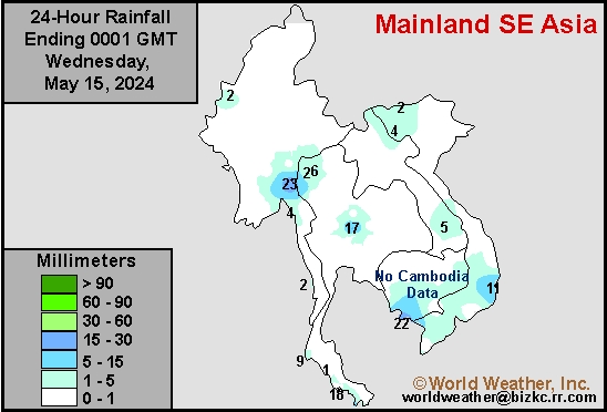
This content is for members only
Southeast North Min
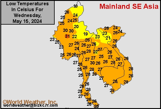
This content is for members only
Southeast North Max
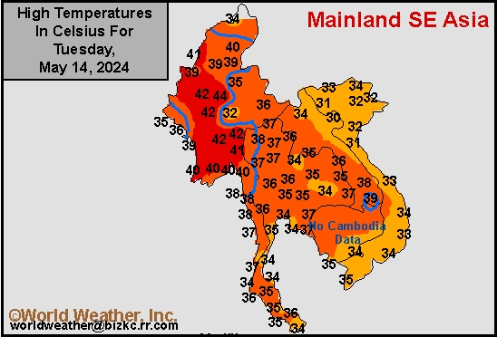
This content is for members only
Southeast Min
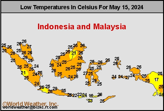
This content is for members only
Southeast Max
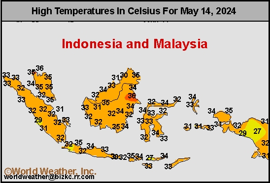
This content is for members only
Southeast Rain
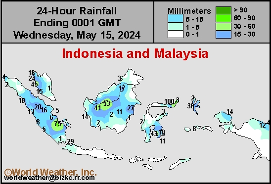
This content is for members only
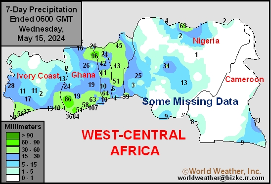
West Africa Rain
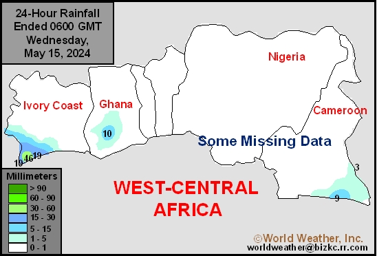
This content is for members only
Max Temperature
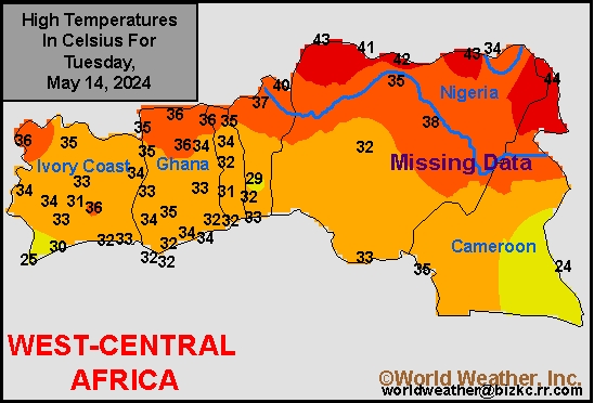
This content is for members only
Min Temperature
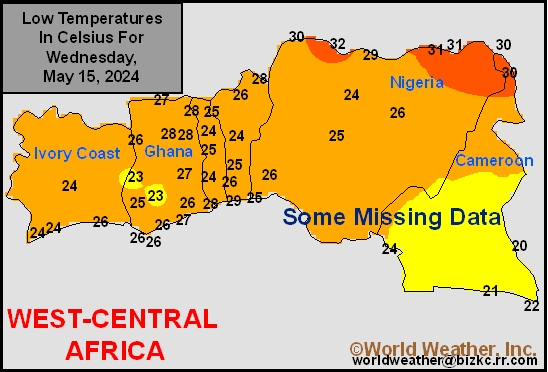
This content is for members only
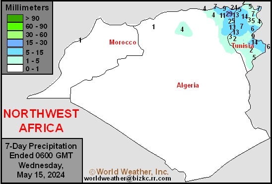
North Africa Rain
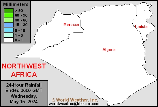
This content is for members only
Max Temperature
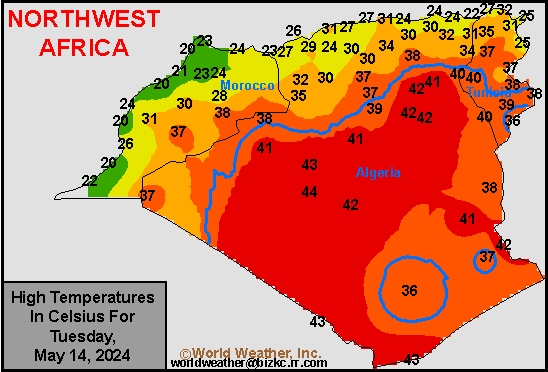
This content is for members only
Min Temperature
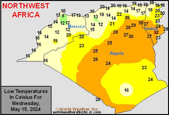
This content is for members only
Min Temperature
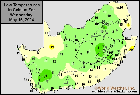
This content is for members only
Max Temperature
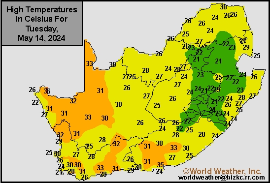
This content is for members only
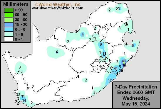
South Africa Rain
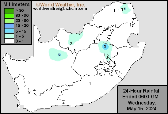
This content is for members only
Hard Red Wheat Tmin
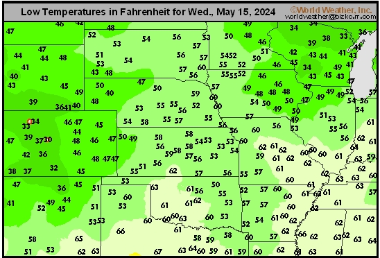
This content is for members only
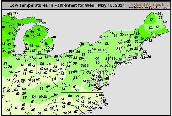
Northeast Tmin
This content is for members only
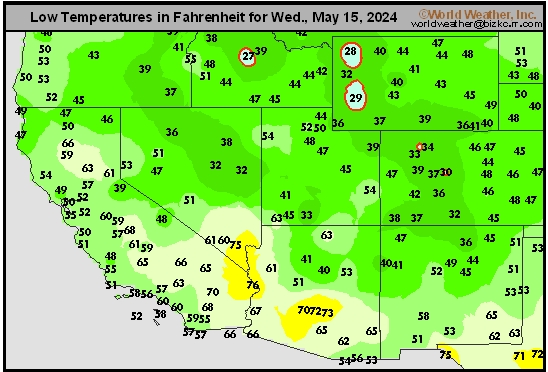
Southwest Tmin
This content is for members only
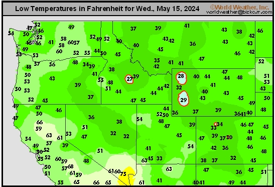
Northwest Tmin
This content is for members only
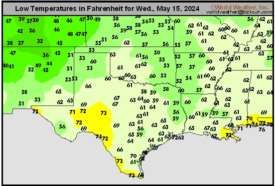
South Plains Tmin
This content is for members only
Delta/SE U.S. Tmin
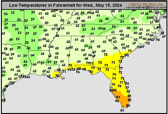
This content is for members only