
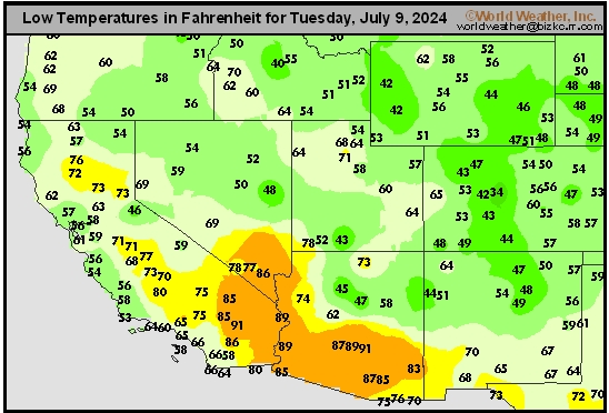
Southwest Tmin
This content is for members only
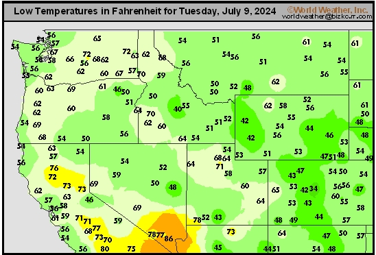
Northwest Tmin
This content is for members only
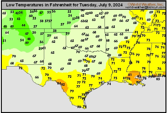
South Plains Tmin
This content is for members only
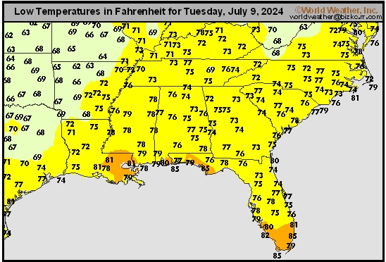
Delta/SE U.S. Tmin
This content is for members only
Corn Belt Tmin
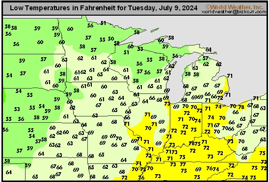
This content is for members only
US Min

This content is for members only
North Plains Tmin
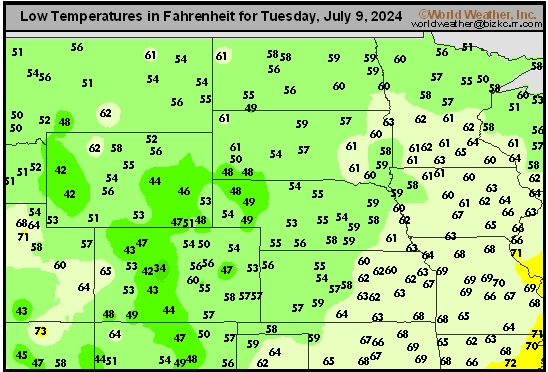
This content is for members only
Hard Red Wheat Tmax
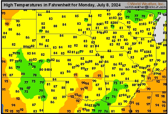
This content is for members only
Northeast Tmax
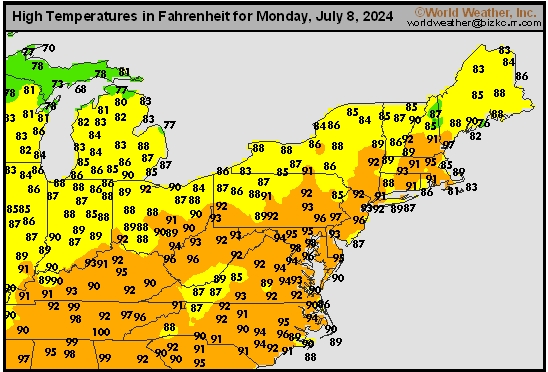
This content is for members only
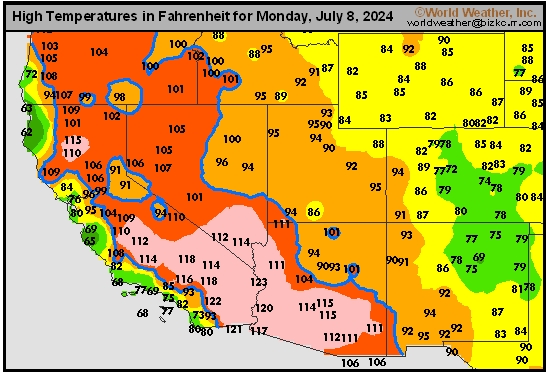
Southwest Tmax
This content is for members only
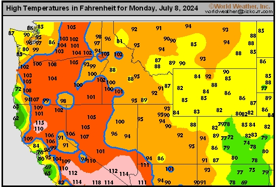
Northwest Tmax
This content is for members only
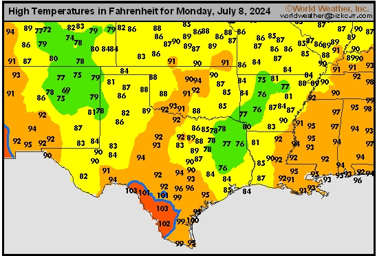
South Plains Tmax
This content is for members only
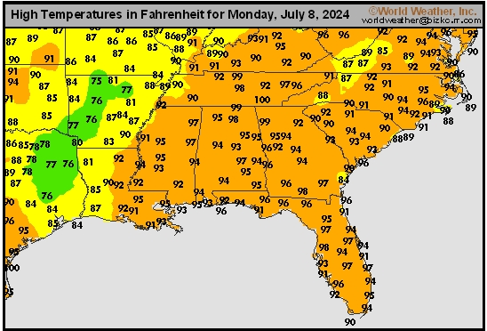
Delta/SE U.S. Tmax
This content is for members only
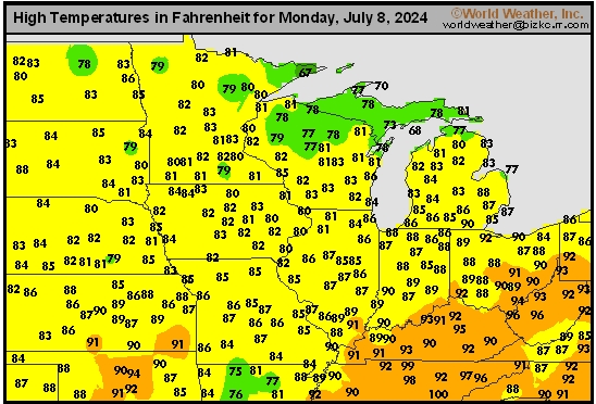
Corn Belt Tmax
This content is for members only
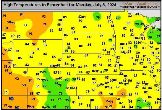
North Plains Tmax
This content is for members only
US Max

This content is for members only
US Rain

This content is for members only
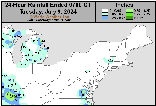
Northeast Daily Rain
This content is for members only
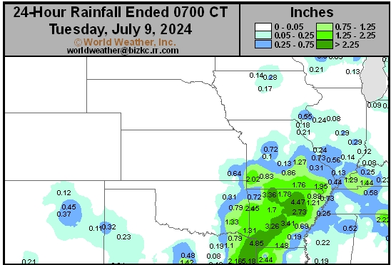
Hard Red Wheat Daily Rain
This content is for members only
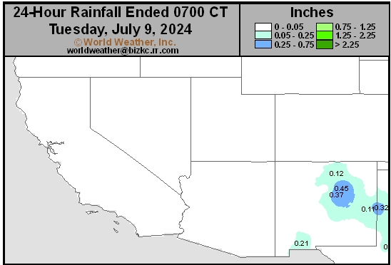
Southwest Daily Rain
This content is for members only
Northwest Daily Rain
This content is for members only
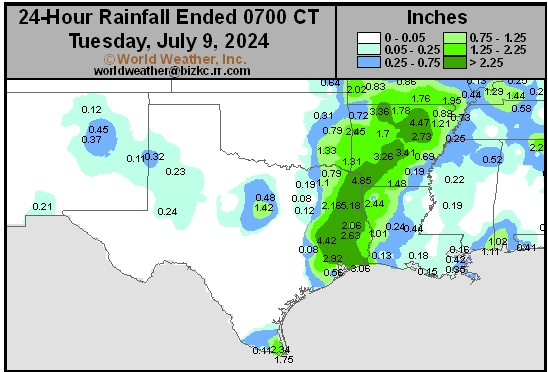
South Plains Daily Rain
This content is for members only
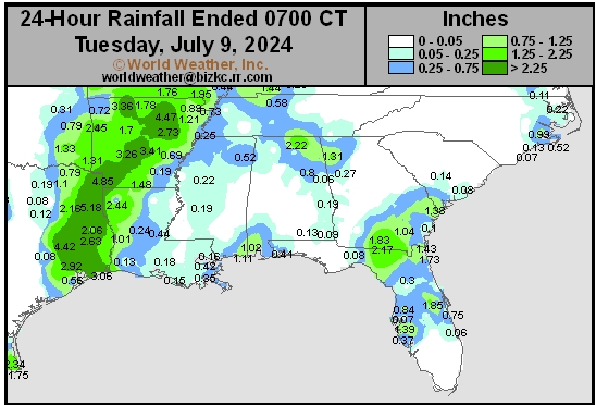
Delta/SE U.S. Daily Rain
This content is for members only
Corn Belt Daily Rain
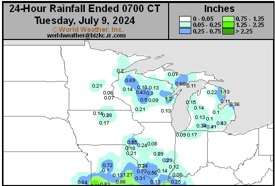
This content is for members only
North Plains Daily Rain
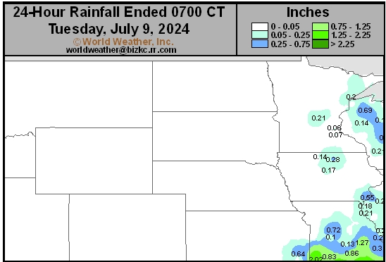
This content is for members only
Low Temperature
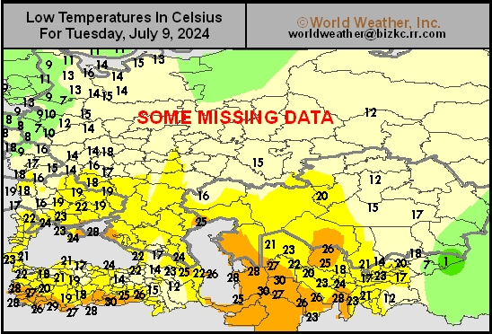
This content is for members only
High Temperature
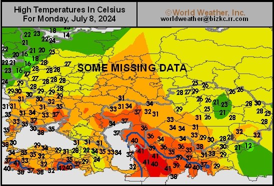
This content is for members only
CIS Rainfall
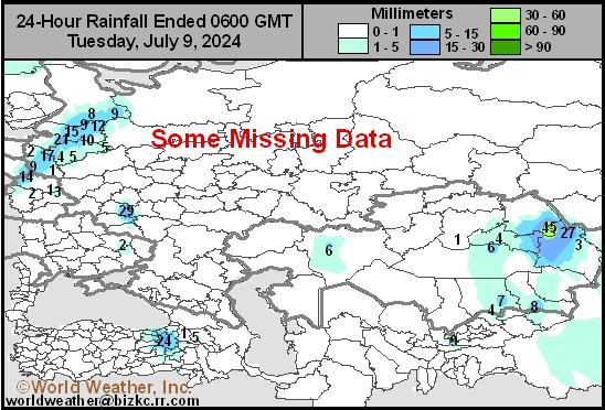
This content is for members only
Low Temperature
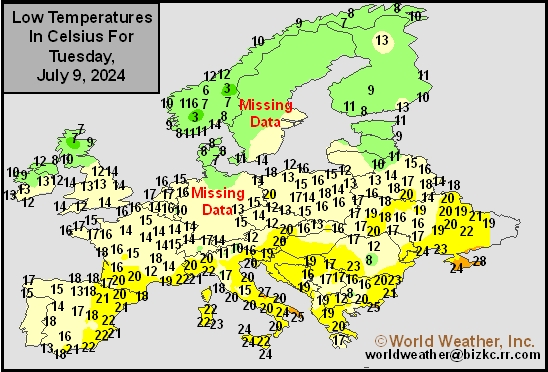
This content is for members only
High Temperature
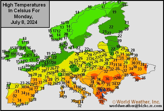
This content is for members only
Europe Rainfall
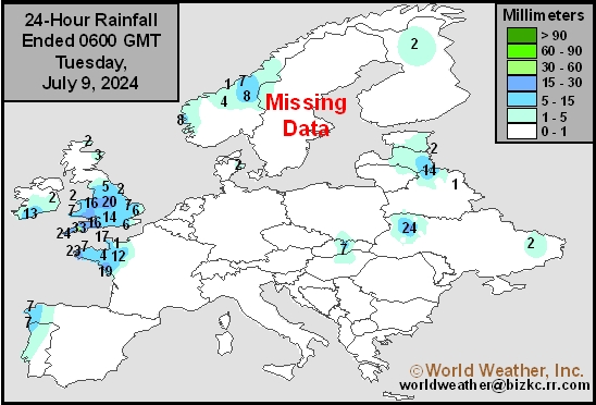
This content is for members only
Low Temperature
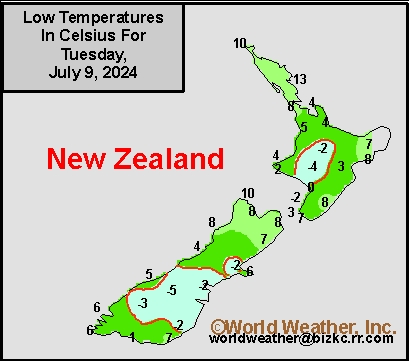
This content is for members only
High Temperature
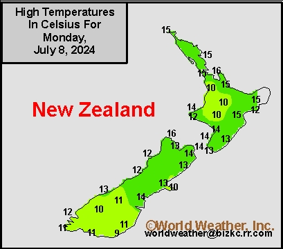
This content is for members only
New Zealand Rainfall
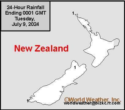
This content is for members only
Low Temperature
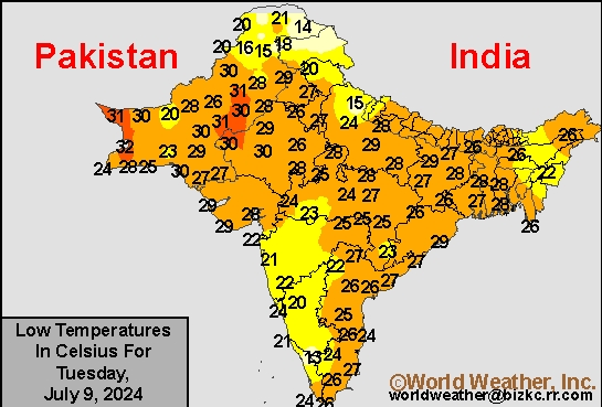
This content is for members only
High Temperature
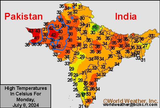
This content is for members only
India Rainfall
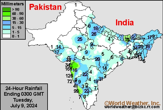
This content is for members only
Low Temperature
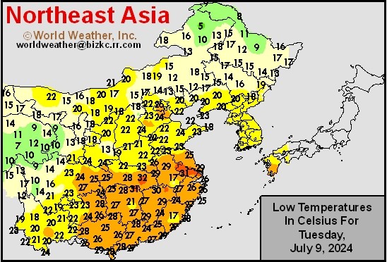
This content is for members only
Japan Rainfall
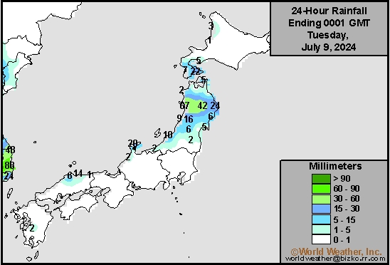
This content is for members only
Low Temperature
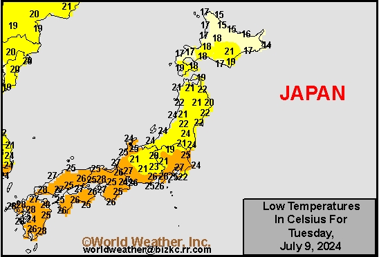
This content is for members only
High Temperature
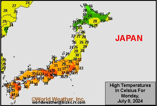
This content is for members only
High Temperature
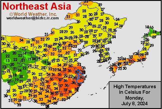
This content is for members only
China Rainfall
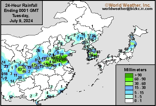
This content is for members only
Low Temperature
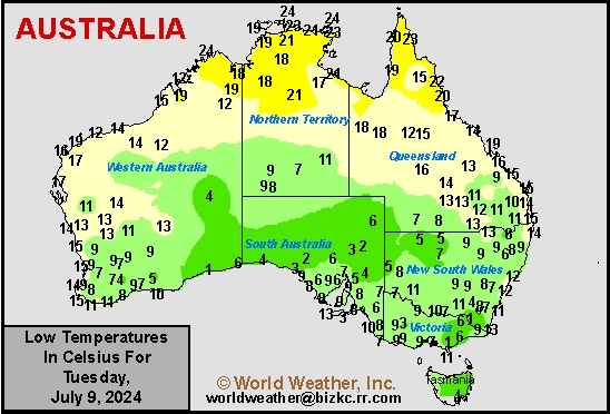
This content is for members only
High Temperature
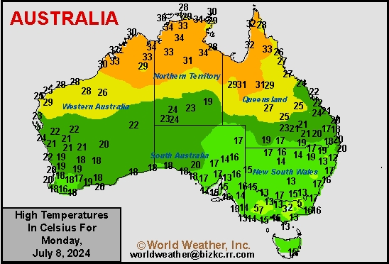
This content is for members only
Australia Rainfall
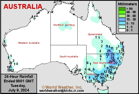
This content is for members only
Soil Temperature

This content is for members only
Soil Temperature
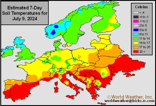
This content is for members only
Soil Temperature
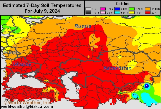
This content is for members only
Soil Temperature
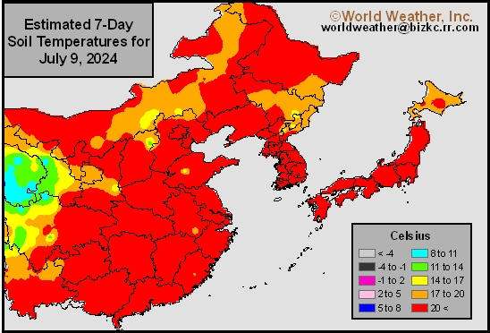
This content is for members only
Soil Temperature

This content is for members only
Subsoil Moisture

This content is for members only
Topsoil Moisture

This content is for members only
Subsoil Moisture
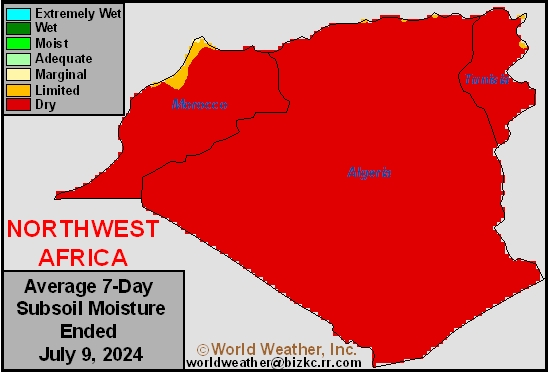
This content is for members only
Topsoil Moisture
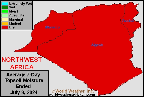
This content is for members only
Subsoil Moisture
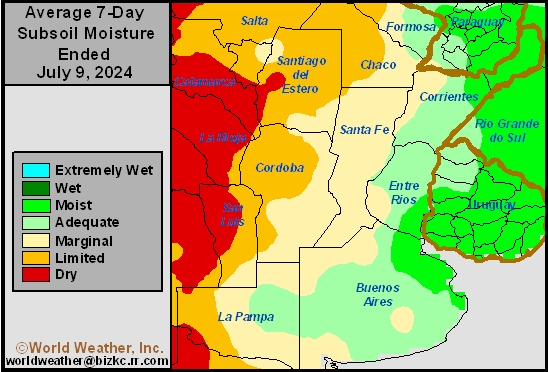
This content is for members only
Topsoil Moisture
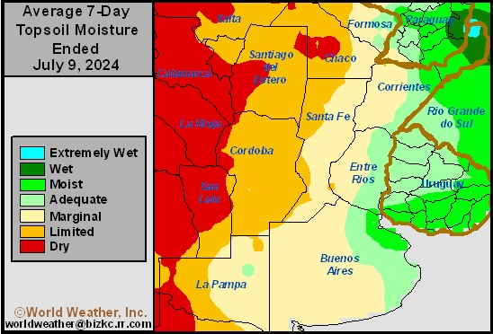
This content is for members only
Subsoil Moisture
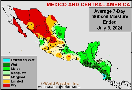
This content is for members only
Topsoil Moisture
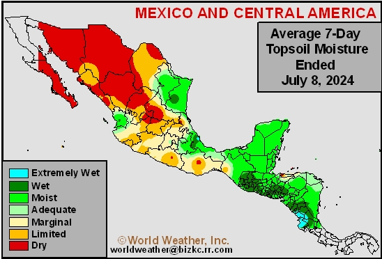
This content is for members only
Subsoil Moisture
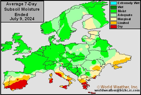
This content is for members only
Topsoil Moisture
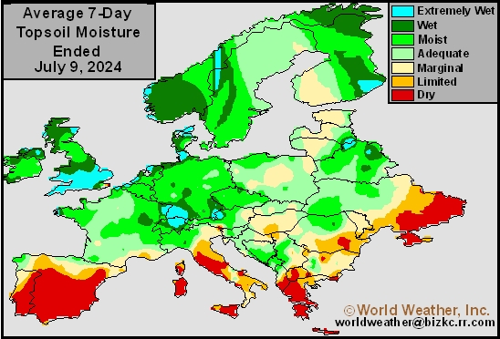
This content is for members only
Subsoil Moisture
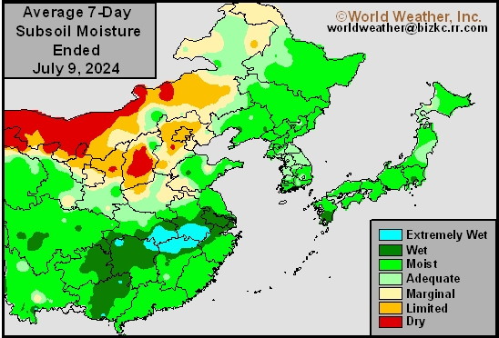
This content is for members only
Topsoil Moisture
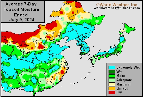
This content is for members only
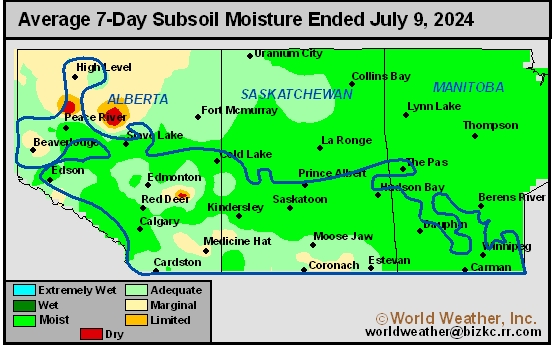
Subsoil Moisture
This content is for members only
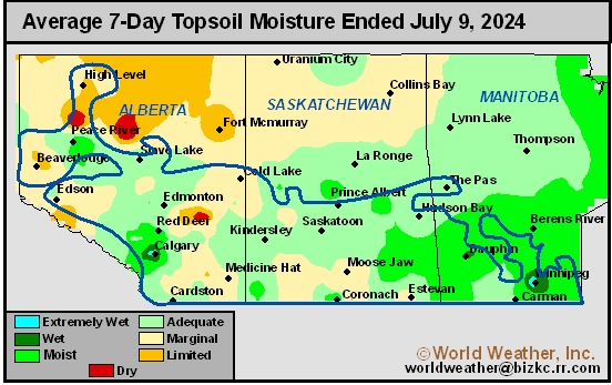
Topsoil Moisture
This content is for members only
Subsoil Moisture

This content is for members only
Topsoil Moisture

This content is for members only
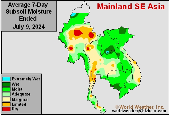
Subsoil Moisture
This content is for members only
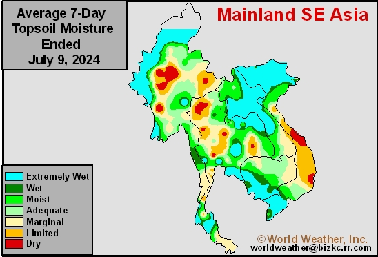
Topsoil Moisture
This content is for members only
Subsoil Moisture
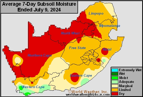
This content is for members only
Topsoil Moisture
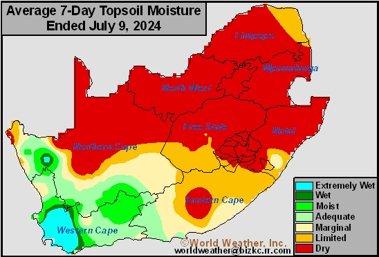
This content is for members only
Subsoil Moisture
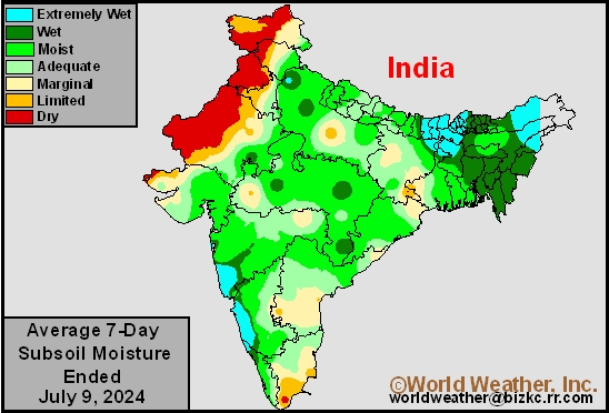
This content is for members only
Topsoil Moisture
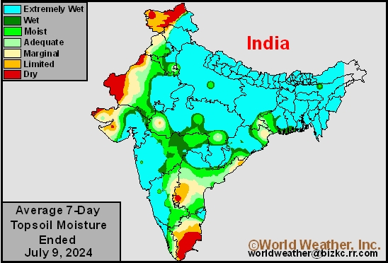
This content is for members only
Subsoil Moisture
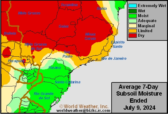
This content is for members only
Topsoil Moisture
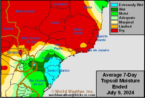
This content is for members only
Subsoil Moisture
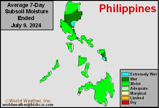
This content is for members only
Topsoil Moisture
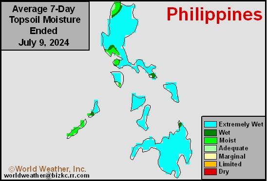
This content is for members only
Subsoil Moisture
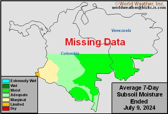
This content is for members only
Topsoil Moisture
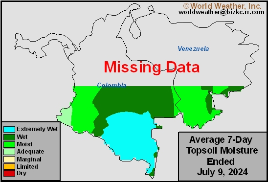
This content is for members only
Subsoil Moisture
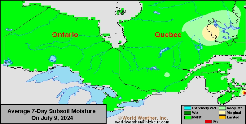
This content is for members only
Topsoil Moisture
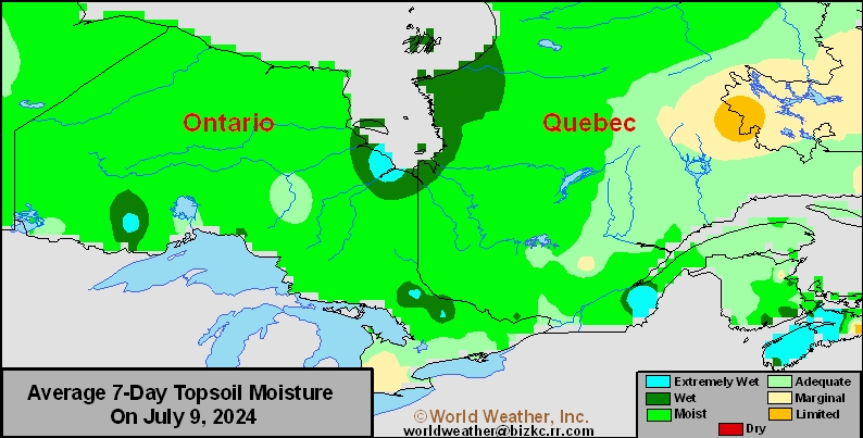
This content is for members only
Subsoil Moisture
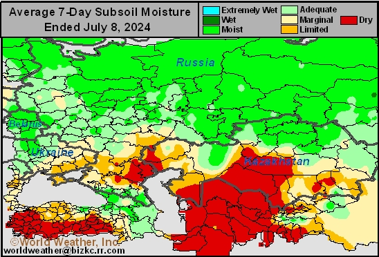
This content is for members only
Topsoil Moisture
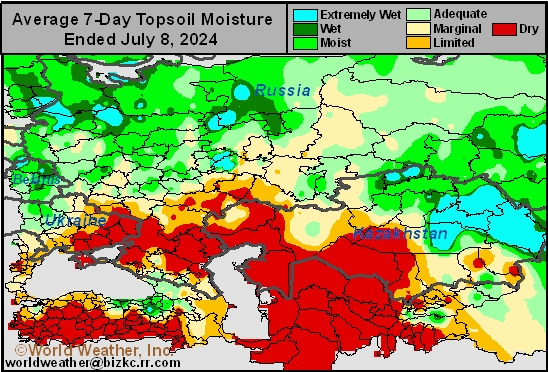
This content is for members only
Subsoil Moisture

This content is for members only
Topsoil Moisture

This content is for members only
Topsoil Moisture
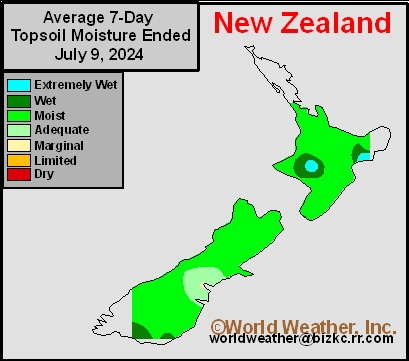
This content is for members only
Subsoil Moisture
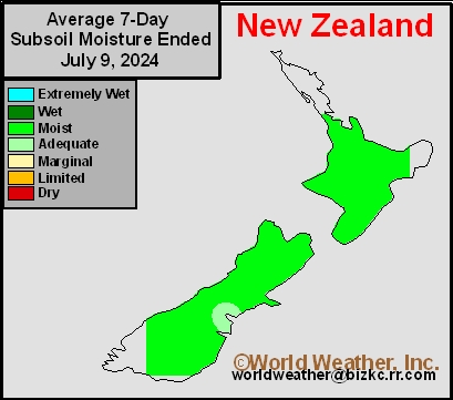
This content is for members only
Subsoil Moisture
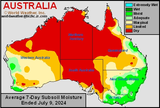
This content is for members only
Topsoil Moisture
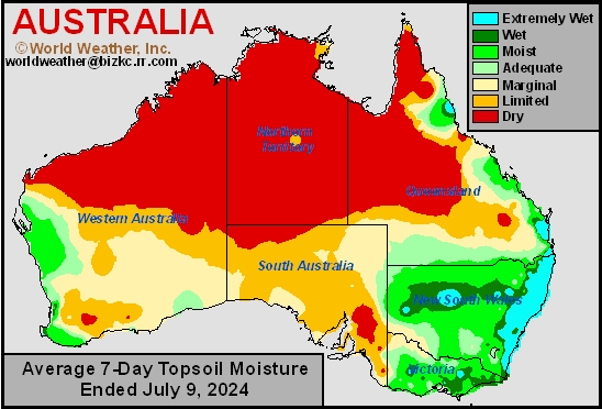
This content is for members only
China Heavy Rainfall, Flood Update For July 9, 2024
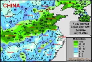
Kansas City, July 9 (World Weather, Inc.) – Frequent heavy rain has impacted east-central China during the past week from Sichuan to Shandong and northern Jiangsu. Upwards to 17 inches impacted a part of the region resulting in flooding. Damage to some crops was suspected, although not yet confirmed. Soybeans, Corn and peanuts are produced in the region.
Hurricane Beryl’s Rainfall Since Sunday And The Outlook
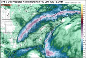
Kansas City, July 9 (World Weather, Inc.) – Hurricane Beryl produced some significant rain from the upper Texas coast through eastern Texas, including the Houston area Sunday into Monday. The storm was downgraded to depression status late Monday and its heavy rain was reduced as it moved northeast toward the Midwest. The storm will have a track record of inducing heavy rain and some flooding, but the impact on agriculture is expected to be quite low.
Brazil Southern Safrinha Corn Harvest To Be Impacted By Rain
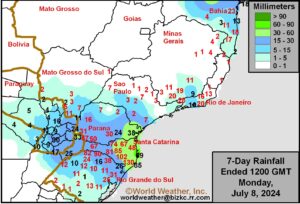
Kansas City, July 8 (World Weather Inc.) – Harvesting of Brazil’s Safrinha corn is advancing rapidly for much of the country this season. Rainfall in Parana may have been enough to slow the harvest in recent days, though no major delays were suspected. Production areas farther north experienced more favorable conditions for the harvest. Waves of rain are slated for Parana, southern Sao Paulo, and portions of Mato Grosso do Sul this week. Harvest will be delayed in these locations, though crop impacts will be minimal. Other Safrinha corn areas will see more favorable conditions for aggressive harvesting. Winter wheat planting is also ongoing for southern Brazil, mostly in Rio Grande do Sul where the least rainfall is expected. Planting delays will be greater in Santa Catarina.
Remnants Of Hurricane Beryl To Change Midwest Weather
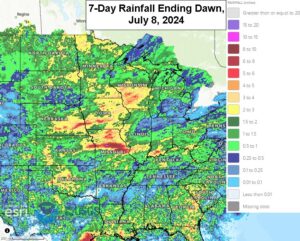
Kansas City, July 8 (World Weather Inc.) – Hurricane Beryl moved into the upper Texas coast this morning and over the next few days the remnants of this storm will reshape the rainfall biases across the U.S. Midwest corn and soybean production areas. The storm will first bring some welcome moisture to the eastern Midwest where rainfall has been a little lackluster at times in the recent weeks. The storm’s presence over the eastern U.S. while a massive heat ridge remains over the western U.S. will lead to a broad trough of low pressure being over the Plains and Midwest that promises to reduce rain in the western Midwest and central through northern Plains. These changes may last long enough to remove some of the surplus moisture from the northwestern Corn Belt while maintaining a good environment for summer crops in the remainder of the region. The favorable weather bias has not helped market trade today which was selling off hard on the good production outlook.
Percent of Normal
This content is for members only
Percent of Normal

This content is for members only
Percent of Normal
This content is for members only
Percent of Normal
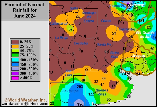
This content is for members only
Percent of Normal
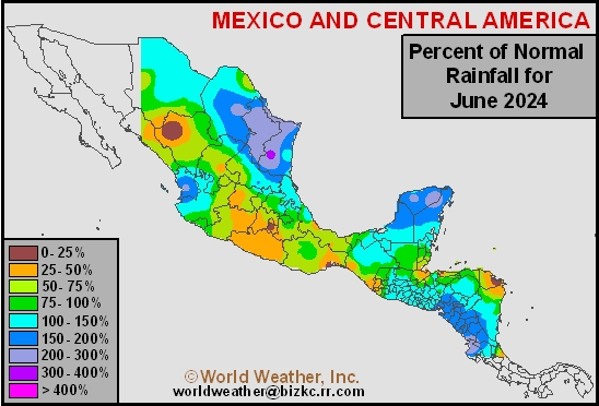
This content is for members only
Percent of Normal
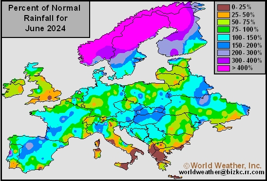
This content is for members only
Percent of Normal
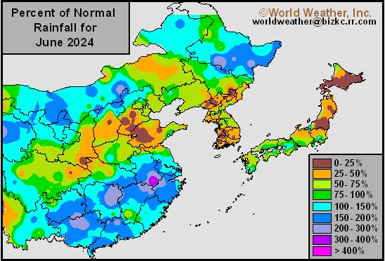
This content is for members only