
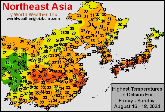
High Temperature
This content is for members only
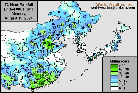
China Rainfall
This content is for members only
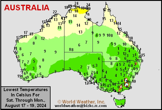
Low Temperature
This content is for members only
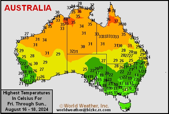
High Temperature
This content is for members only
Austrailia Rainfall
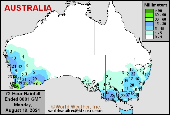
This content is for members only
Tropical Storm Jongdari Will Bring Rain To Korean Peninsula
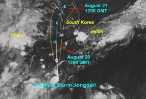
Kansas City, August 19 (World Weather Inc.) – Tropical Storm Jongdari was located over the East China Sea earlier today. The disturbance will track northerly today before advancing over the Korean Peninsula Tuesday and early Wednesday. The main concern from this system will be locally heavy rainfall that could generate flash flooding. However, the disturbance will be too weak to promote much crop or structural damage. Some re-intensification will be possible as Jongdari enters the Sea of Japan later this week, although that water is usually too cool for much storm support. Significant rain will be possible in Hokkaido and northern Honshu, Japan late Thursday and Friday, though the potential for damage is minimal.
Excessive Heat South U.S. Plains; SW CIS Still Dry, Warm Too
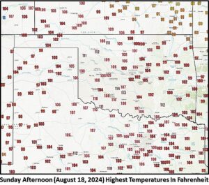
Kansas City, August 19 (World Weather Inc.) – Weekend weather brought excessive heat to the southern U.S. Plains with highest temperatures of 110 to 116 Fahrenheit. No rain fell in the region either. In the meantime, very warm temperatures and no rain continued in southeastern Europe southwestern Russia where the heat and dryness will persist this week. Russia’s New Lands will remain mild to cool and wet for at least one more week.
U.S. South Plains Heat, Dryness To Leave Early Wheat Areas Dry
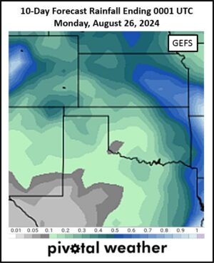
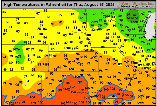
Kansas City, August 16 (World Weather Inc.) – Early season winter wheat planting is due to begin in the first week of September in the southwestern U.S. Plains. A bout of hot, dry, weather dominating the second half of August may leave the environment a little unfavorable for early seeding unless early September rainfall is cooler and wetter. In the meantime, daily temperatures in the 90s to 110 degrees Fahrenheit and no rainfall of significance will stress summer crops and livestock.
Mexico Multi-Year Drought May Be Worst In At Least 20 Years
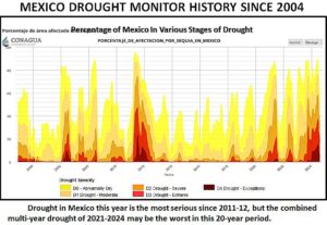
Kansas City, August 16 (World Weather Inc.) – Drought continues to plague parts of Mexico. Some significant relief has occurred this year in eastern, central and southern parts of the nation. Recent rain has also provided a little relief to some of the driest areas in the north and west-central parts of the nation as well, though drought still remains. This stretch of dry years may be the worst since 2004 and this year’s drought rivals that of 2011-12. Monsoonal rain through the end of next week will favor southern and western Mexico while other locations receive limited to no rain. The moisture profile will remain mostly unchanged across the country. Summer crop production will be down this year most significantly in unirrigated areas in the north.
Canada Prairies Will Not See Much Relief From Dryness
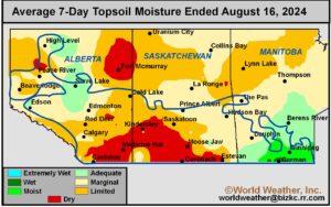
Kansas City, August 16 (World Weather Inc.) – A cluster of storms brought much-needed rain to portions of southern Manitoba during the past 24 hours. However, net drying was noted in a large section of the Canadian Prairies during the past week. The drying trend continued to stress crops, notably in the driest locations of central and southern Alberta and into western and southern Saskatchewan. Concern over production losses continues to rise for late season crops. The dry bias has been good for early season crop maturation and harvest progress in the drier areas. There will be a few opportunities for rain and thunderstorms across the Prairies through the end of next week. The expected rain will be welcome for late season crops, though it will likely be too light to completely reverse moisture deficits. Temperatures will also surge above normal at times and that may help to speed along crop maturation in the drier areas further reducing yields and quality.
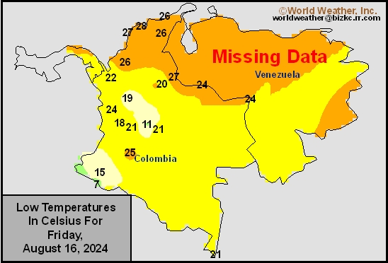
Venezuela/Colombia Min Temps
This content is for members only
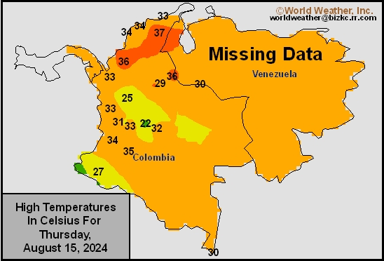
Venezuela/Colombia Max Temps
This content is for members only
SE Canada Min
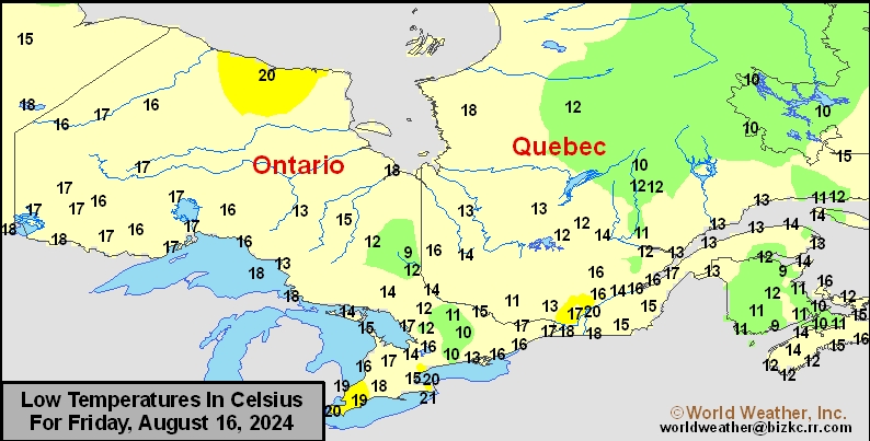
This content is for members only
SE Canada Max
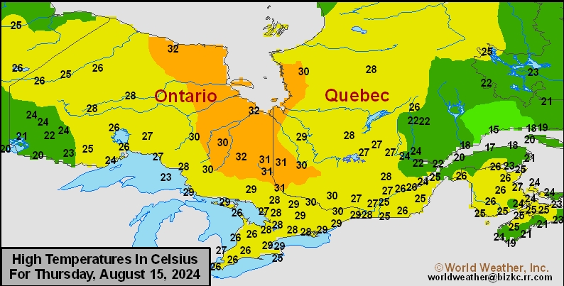
This content is for members only
SE Canada Rainfall
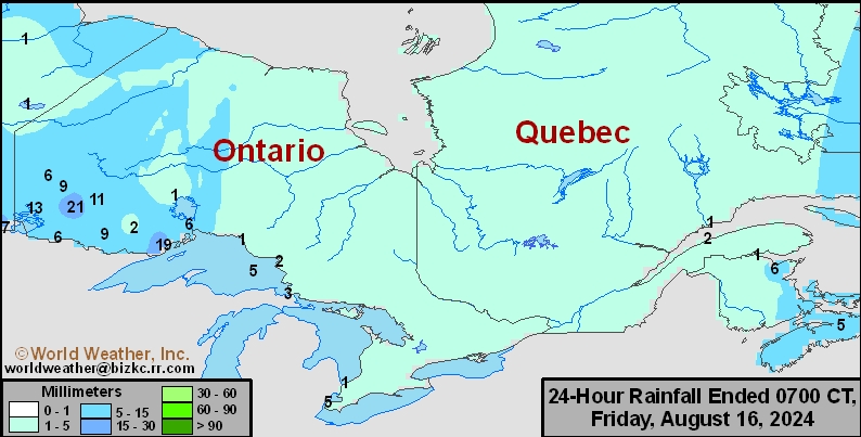
This content is for members only
Prairies Rainfall

This content is for members only
Prairies Max Temperature

This content is for members only
Prairies Min Temperature

This content is for members only
Canada Rainfall

This content is for members only
Venezuela Rainfall
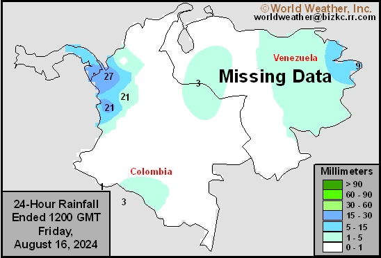
This content is for members only
Mexico Min Temperature
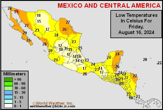
This content is for members only
Mexico Max Temperature
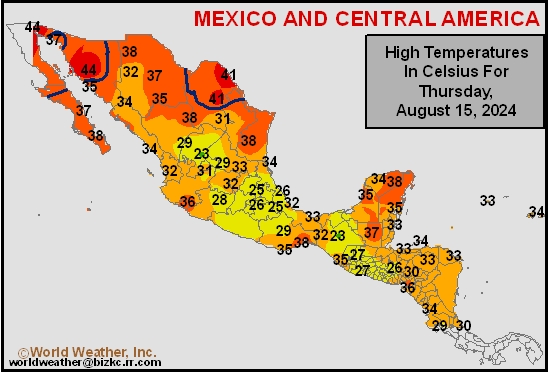
This content is for members only
Mexico Rainfall
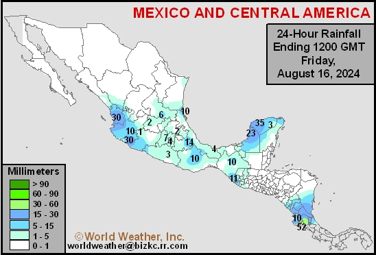
This content is for members only
Argentina Min Temperature
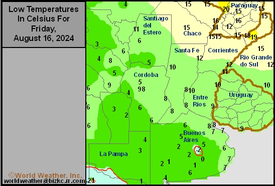
This content is for members only
Argentina Max Temperature
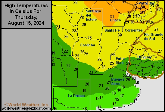
This content is for members only
Argentina Rainfall
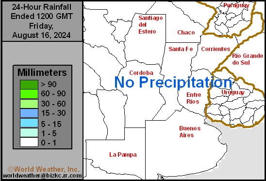
This content is for members only
Brazil Min Temperature
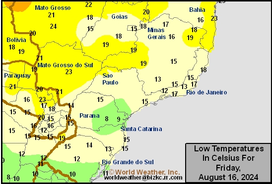
This content is for members only
Brazil Max Temperature
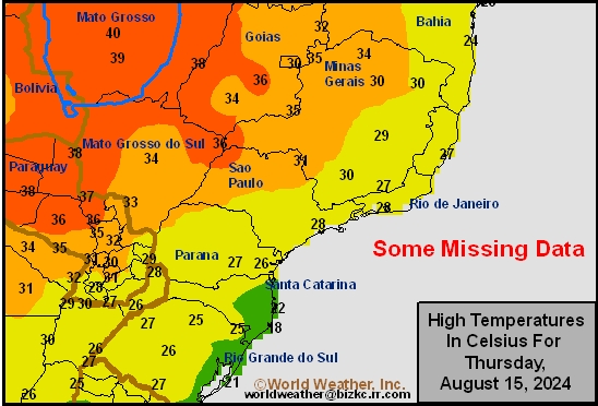
This content is for members only
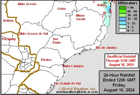
Brazil Rainfall
This content is for members only
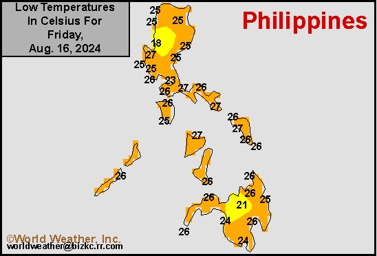
Philippines Min
This content is for members only
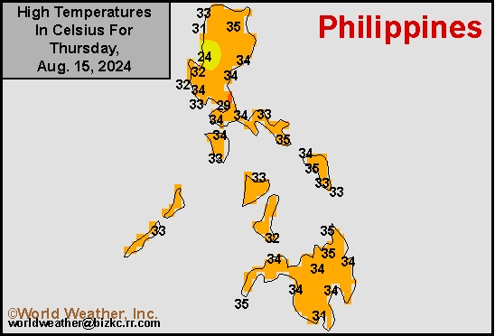
Philippines Max
This content is for members only
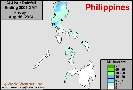
Philippines Rain
This content is for members only
Southeast North Rain
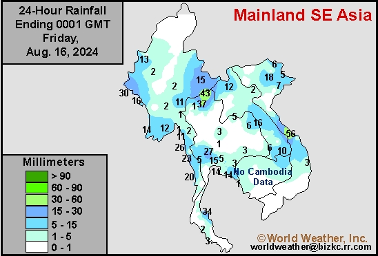
This content is for members only
Southeast North Min
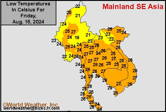
This content is for members only
Southeast North Max
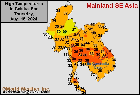
This content is for members only
Southeast Min
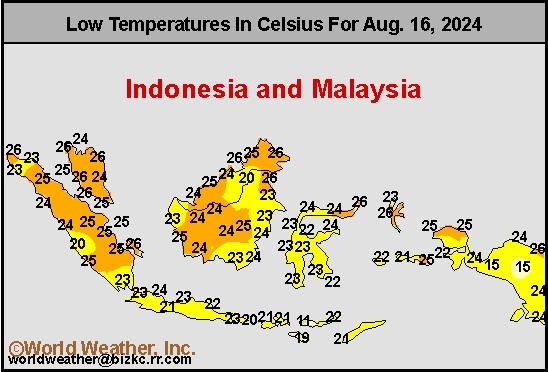
This content is for members only
Southeast Max
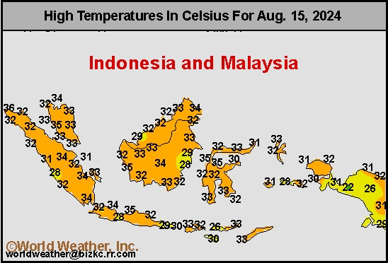
This content is for members only
Southeast Rain
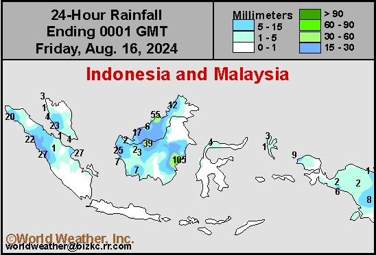
This content is for members only
West Africa Rain
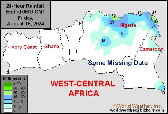
This content is for members only
Max Temperature
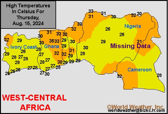
This content is for members only
Min Temperature
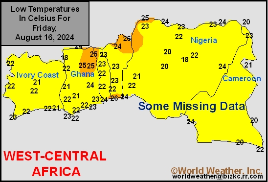
This content is for members only
North Africa Rain
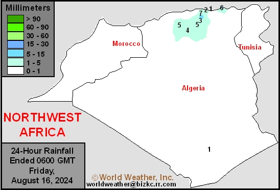
This content is for members only
Max Temperature
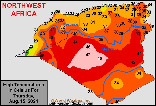
This content is for members only
Min Temperature
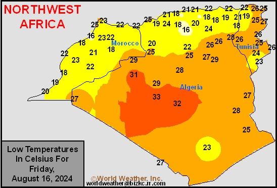
This content is for members only
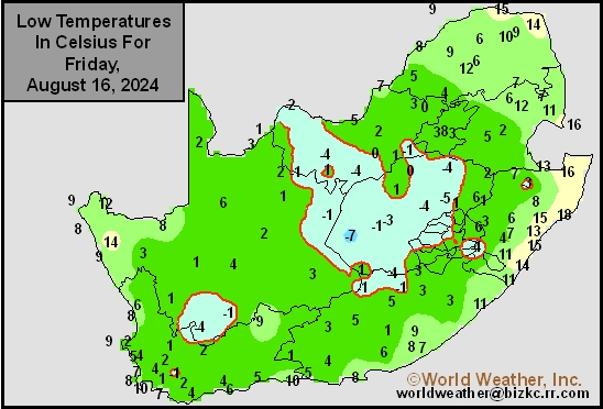
Min Temperature
This content is for members only
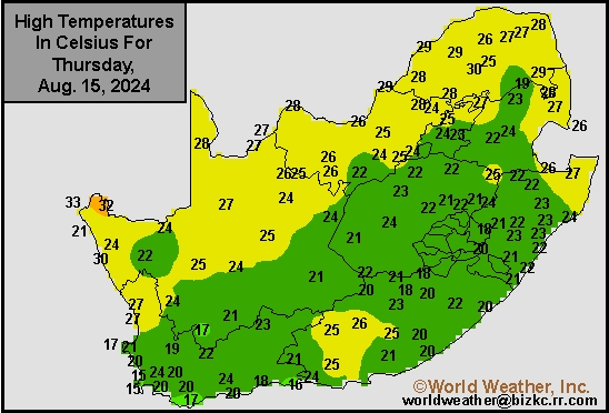
Max Temperature
This content is for members only
South Africa Rain
This content is for members only
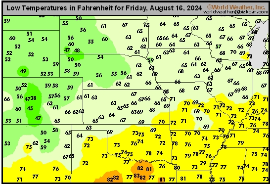
Hard Red Wheat Tmin
This content is for members only
Northeast Tmin
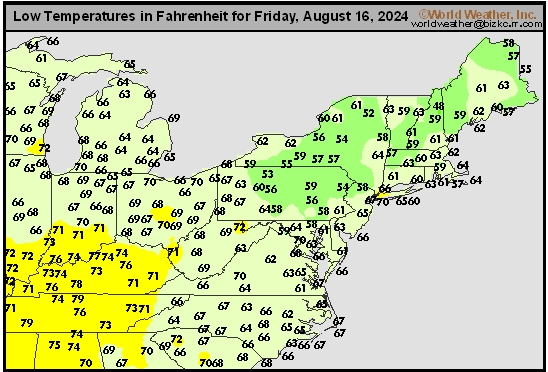
This content is for members only
Southwest Tmin
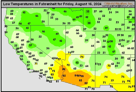
This content is for members only
Northwest Tmin
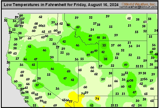
This content is for members only
South Plains Tmin
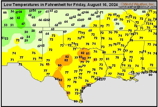
This content is for members only
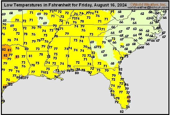
Delta/SE U.S. Tmin
This content is for members only
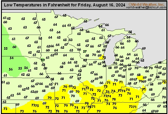
Corn Belt Tmin
This content is for members only
US Min

This content is for members only
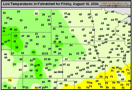
North Plains Tmin
This content is for members only
Hard Red Wheat Tmax
This content is for members only
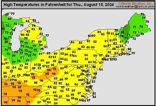
Northeast Tmax
This content is for members only
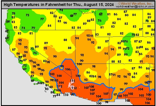
Southwest Tmax
This content is for members only
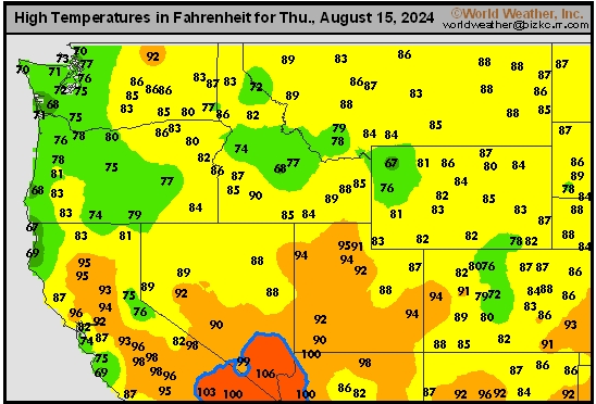
Northwest Tmax
This content is for members only
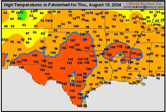
South Plains Tmax
This content is for members only
Delta/SE U.S. Tmax
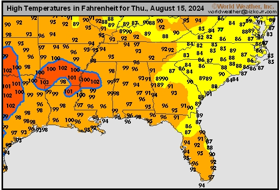
This content is for members only
Corn Belt Tmax
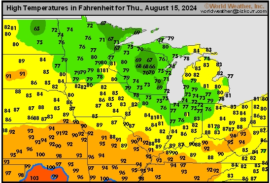
This content is for members only
North Plains Tmax
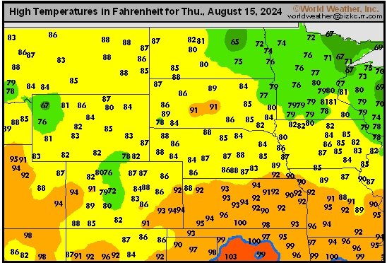
This content is for members only
US Max

This content is for members only
US Rain

This content is for members only
Northeast Daily Rain
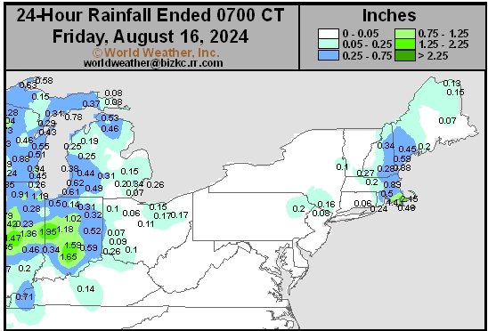
This content is for members only
Hard Red Wheat Daily Rain
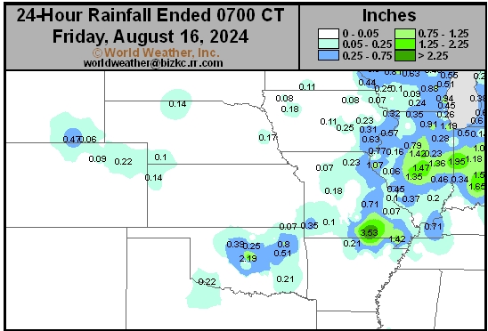
This content is for members only
Southwest Daily Rain
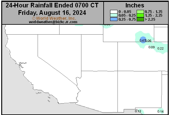
This content is for members only
Northwest Daily Rain
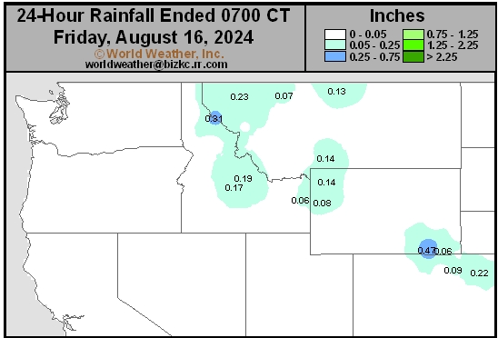
This content is for members only
South Plains Daily Rain
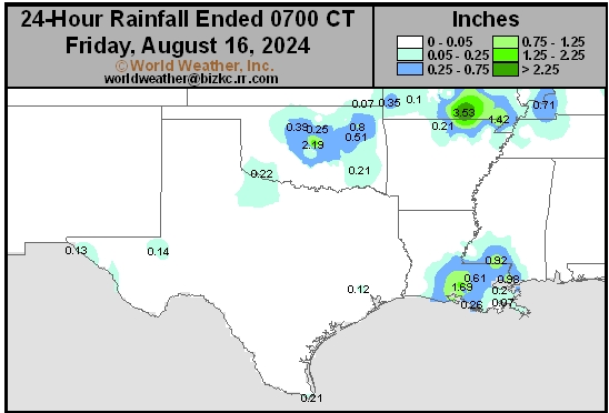
This content is for members only
Delta/SE U.S. Daily Rain
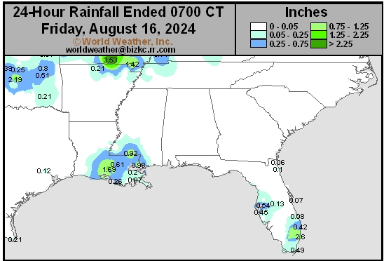
This content is for members only
Corn Belt Daily Rain
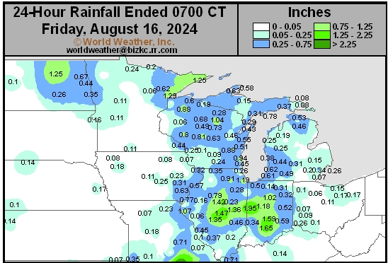
This content is for members only
North Plains Daily Rain
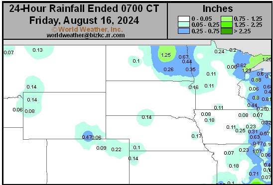
This content is for members only
Low Temperature
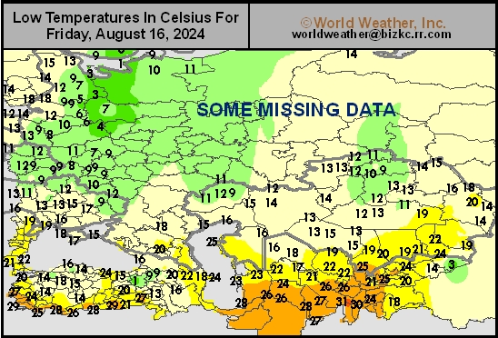
This content is for members only
High Temperature
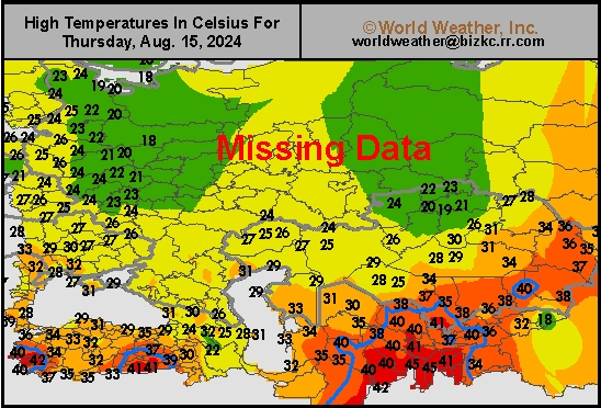
This content is for members only
CIS Rainfall
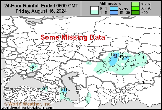
This content is for members only
Low Temperature
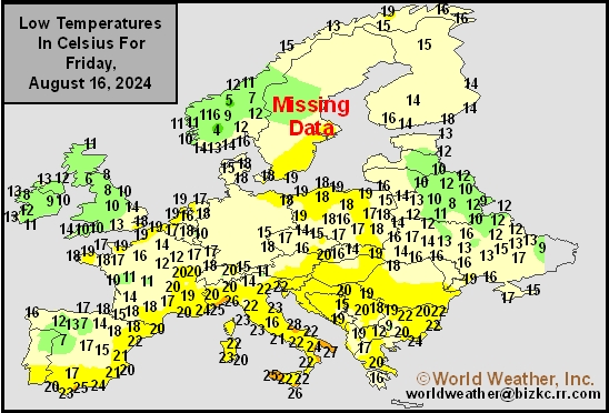
This content is for members only
High Temperature
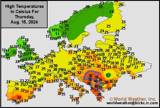
This content is for members only
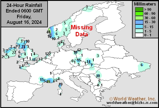
Europe Rainfall
This content is for members only
Low Temperature
This content is for members only
High Temperature
This content is for members only
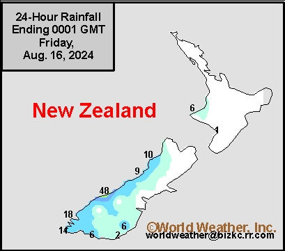
New Zealand Rainfall
This content is for members only
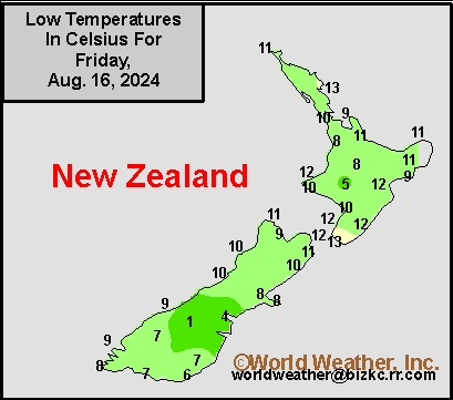
Low Temperature
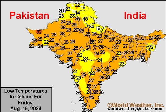
This content is for members only
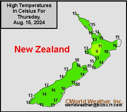
High Temperature
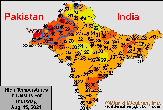
This content is for members only
India Rainfall
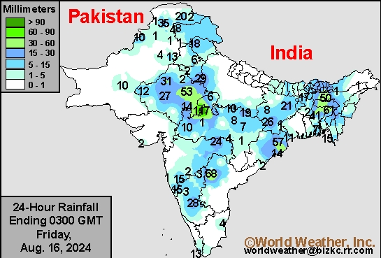
This content is for members only
Low Temperature
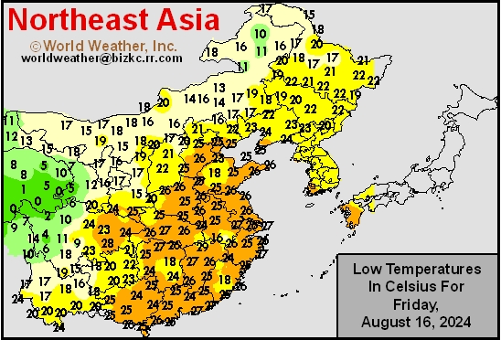
This content is for members only
Japan Rainfall
This content is for members only
Low Temperature
This content is for members only
High Temperature
This content is for members only
High Temperature
This content is for members only
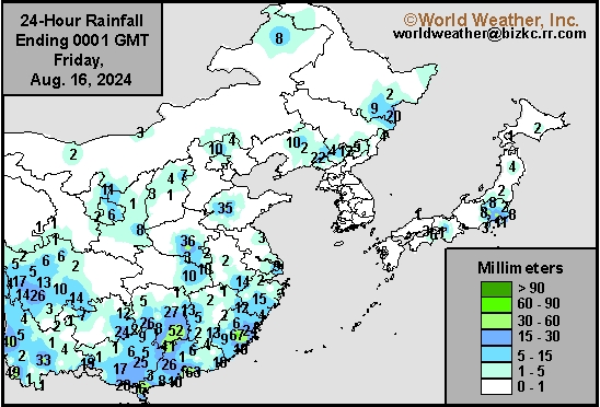
China Rainfall
This content is for members only
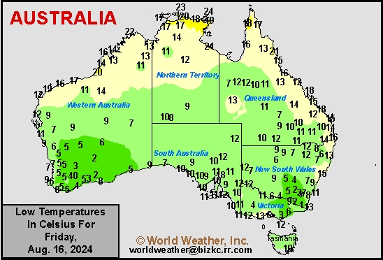
Low Temperature
This content is for members only
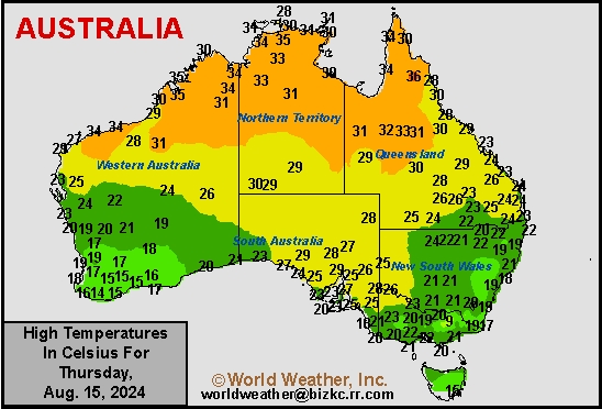
High Temperature
This content is for members only
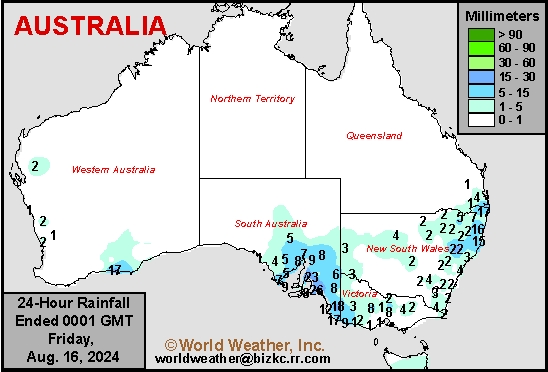
Austrailia Rainfall
This content is for members only
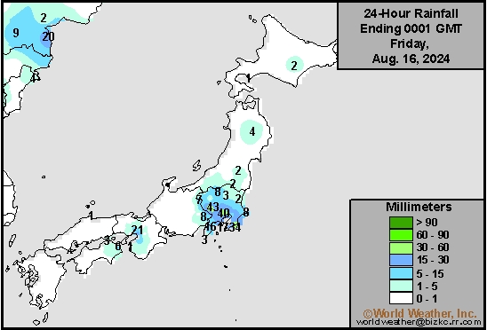
Typhoon Ampil Has Low Impact On Japan
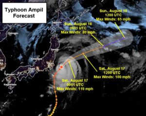
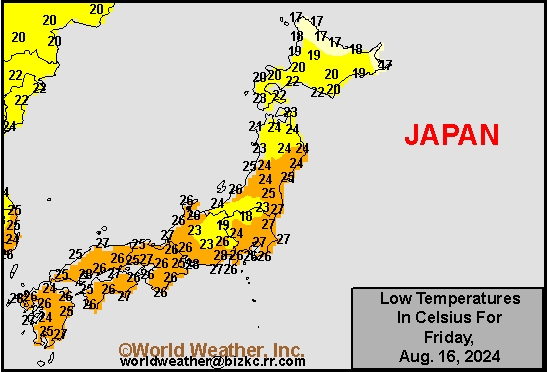
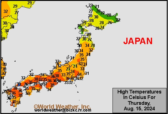
Kansas City, August 16 (World Weather Inc.) – Typhoon Ampil moved to within 70 miles of the southeastern most part of Honshu, Japan earlier today producing strong wind and a coastal storm surge, although the system was just far enough from land to minimize its impact on Japan. At 1500 UTC today, the system was located roughly 150 miles east of Tokyo as a Category 3 hurricane equivalent storm based on the Saffir-Simpson Wind Scale with wind speeds near 120 mph. The Tokyo area largely avoided the worst impacts from Ampil, though tropical storm force wind speeds and a significant storm surge occurred from the outer bands of the Typhoon, primarily along the coastal areas of the Chiba Prefecture. A storm surge up to 4 feet above the normal tide is projected for coastal areas of Chiba through at least the end of today which may cause some coastal property damage. The storm will curve out into the open Pacific Ocean this weekend and dissipate over the Bering Sea late next-week. Shipping activity should resume normally this weekend.
Subsoil Moisture

This content is for members only
Topsoil Moisture

This content is for members only
Subsoil Moisture
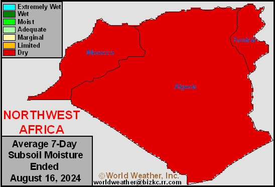
This content is for members only
Topsoil Moisture
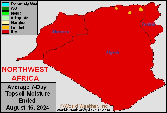
This content is for members only