
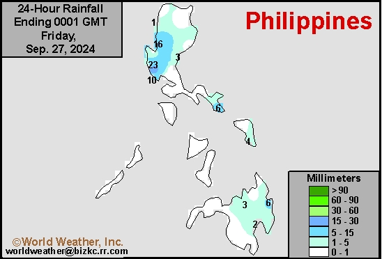
Philippines Rain
This content is for members only
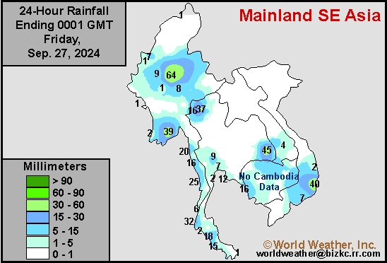
Southeast North Rain
This content is for members only
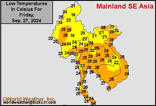
Southeast North Min
This content is for members only
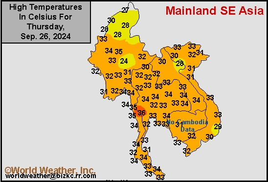
Southeast North Max
This content is for members only
Southeast Min
This content is for members only
Southeast Max
This content is for members only
Southeast Rain
This content is for members only
West Africa Rain
This content is for members only
Max Temperature
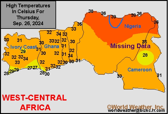
This content is for members only
Min Temperature
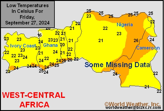
This content is for members only
North Africa Rain
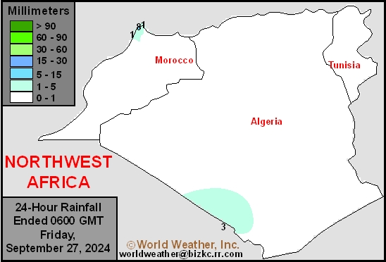
This content is for members only
Max Temperature
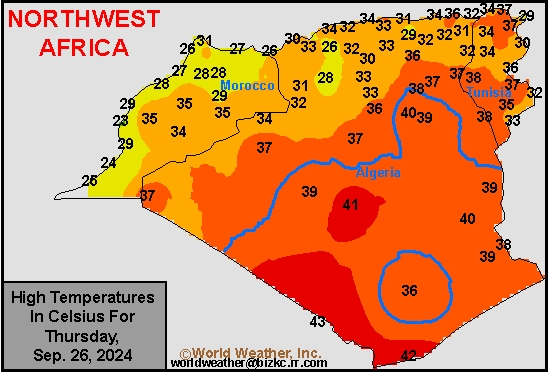
This content is for members only
Min Temperature
This content is for members only
Min Temperature
This content is for members only
Max Temperature
This content is for members only
South Africa Rain
This content is for members only
Hard Red Wheat Tmin
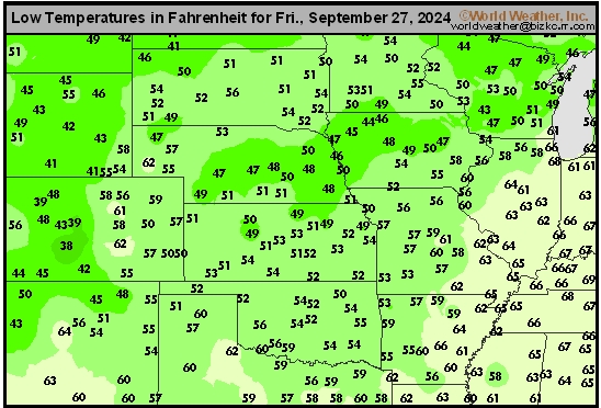
This content is for members only
Northeast Tmin
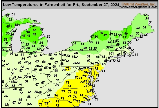
This content is for members only
Southwest Tmin
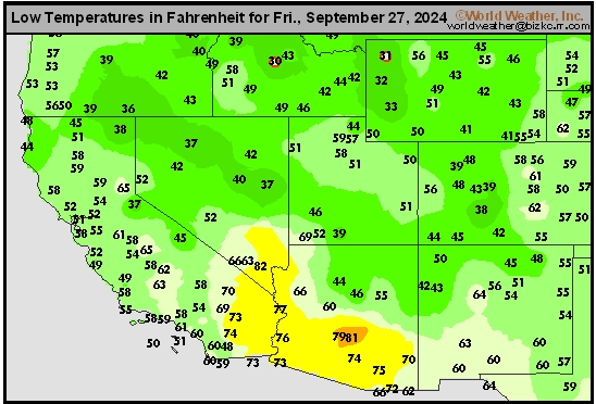
This content is for members only
Northwest Tmin
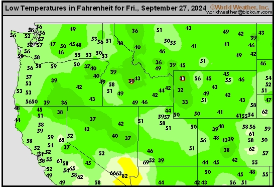
This content is for members only
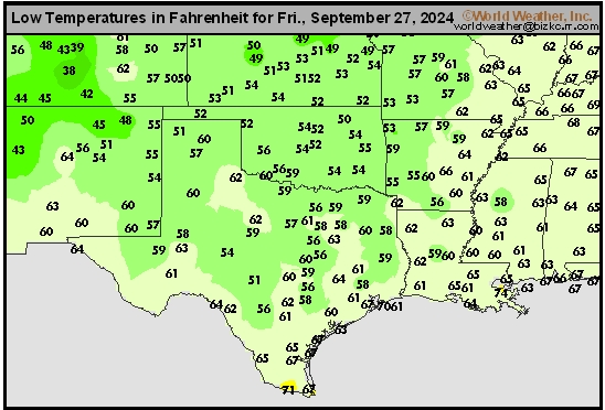
South Plains Tmin
This content is for members only
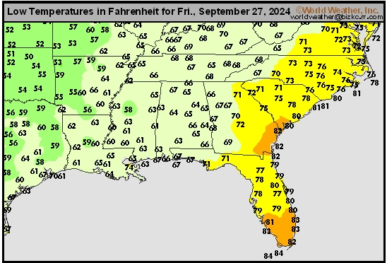
Delta/SE U.S. Tmin
This content is for members only
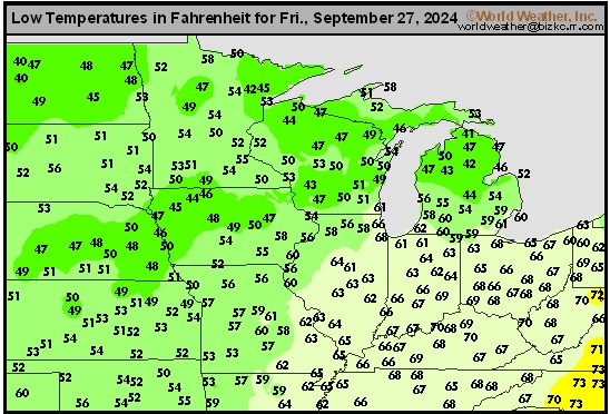
Corn Belt Tmin
This content is for members only
US Min

This content is for members only
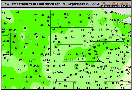
North Plains Tmin
This content is for members only
Hard Red Wheat Tmax
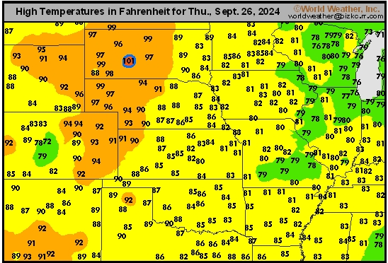
This content is for members only
Northeast Tmax
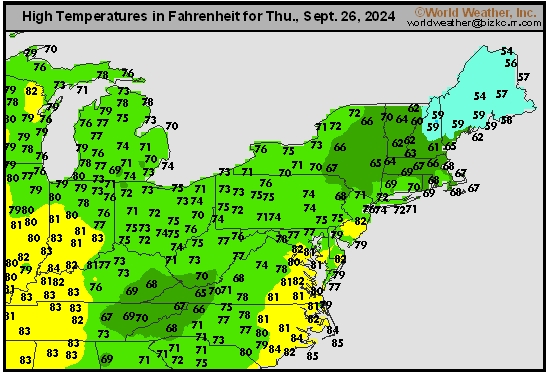
This content is for members only
Southwest Tmax
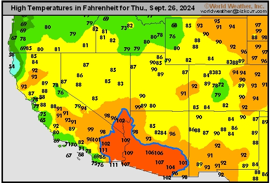
This content is for members only
Northwest Tmax
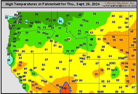
This content is for members only
South Plains Tmax
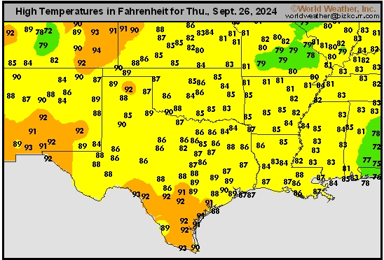
This content is for members only
Delta/SE U.S. Tmax
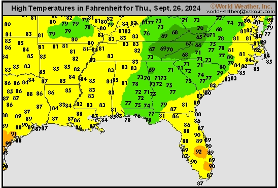
This content is for members only
Corn Belt Tmax
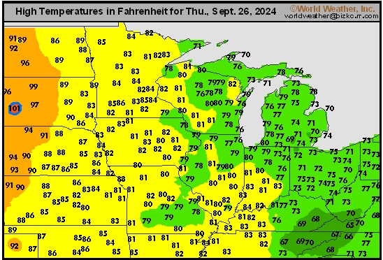
This content is for members only
North Plains Tmax
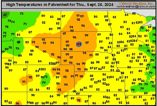
This content is for members only
US Max

This content is for members only
US Rain

This content is for members only
Northeast Daily Rain
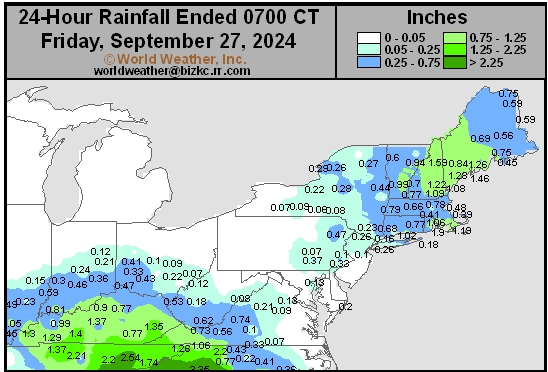
This content is for members only
Hard Red Wheat Daily Rain
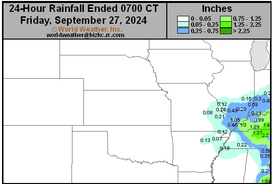
This content is for members only
Southwest Daily Rain
This content is for members only
Northwest Daily Rain
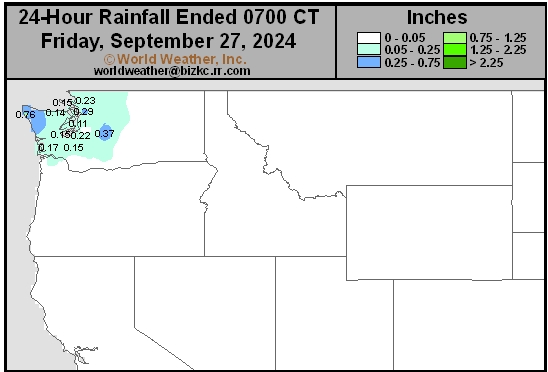
This content is for members only
South Plains Daily Rain
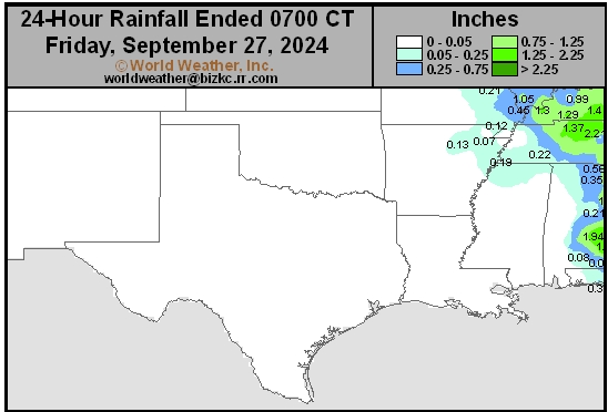
This content is for members only
Delta/SE U.S. Daily Rain
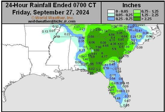
This content is for members only
Corn Belt Daily Rain
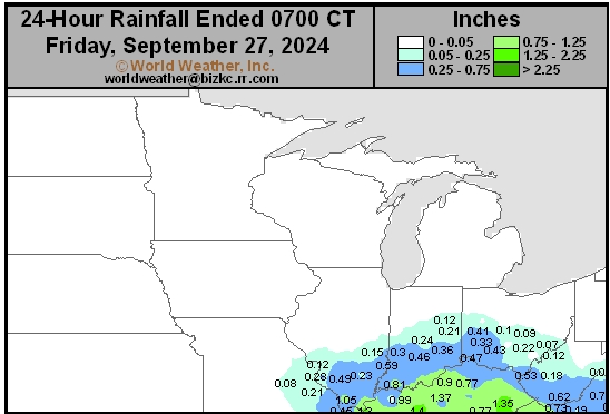
This content is for members only
North Plains Daily Rain
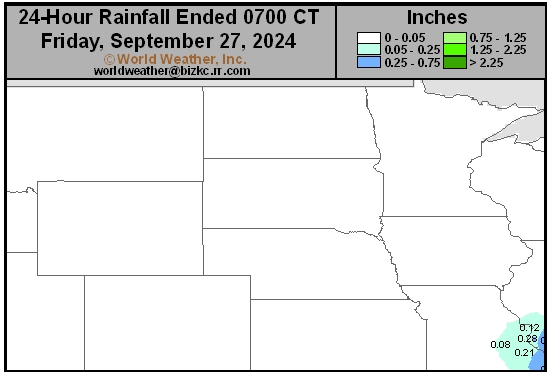
This content is for members only
Low Temperature
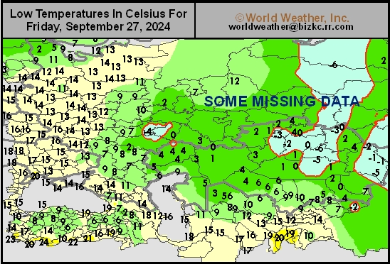
This content is for members only
High Temperature
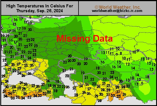
This content is for members only
CIS Rainfall
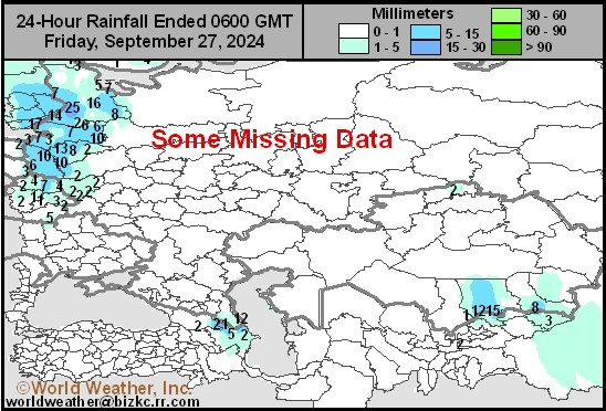
This content is for members only
Low Temperature
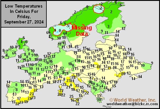
This content is for members only
High Temperature
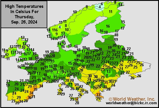
This content is for members only
Europe Rainfall
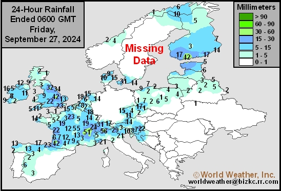
This content is for members only
Low Temperature
This content is for members only
High Temperature
This content is for members only
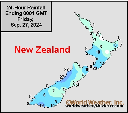
New Zealand Rainfall
This content is for members only
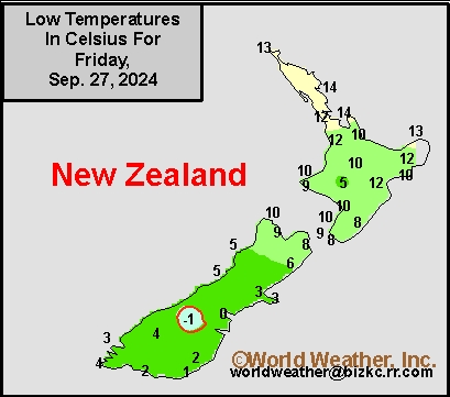
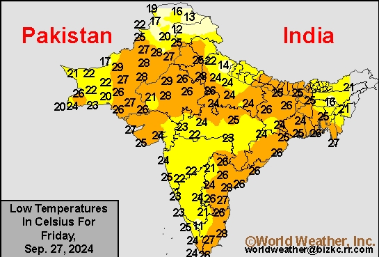
Low Temperature
This content is for members only
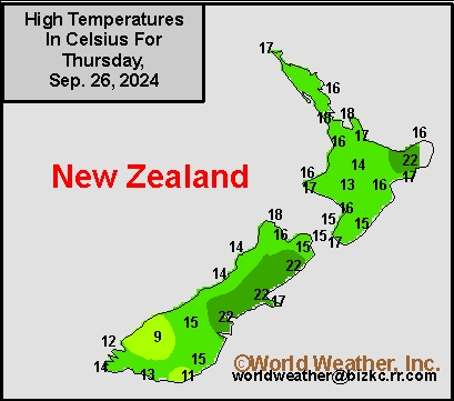
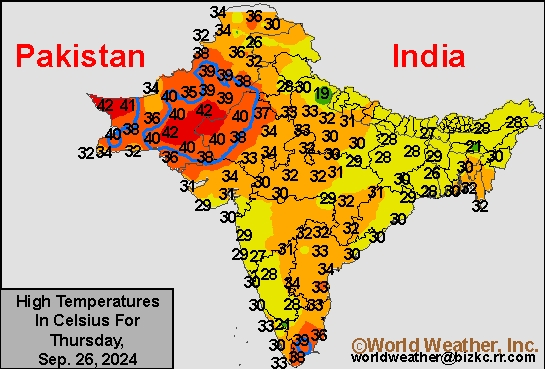
High Temperature
This content is for members only
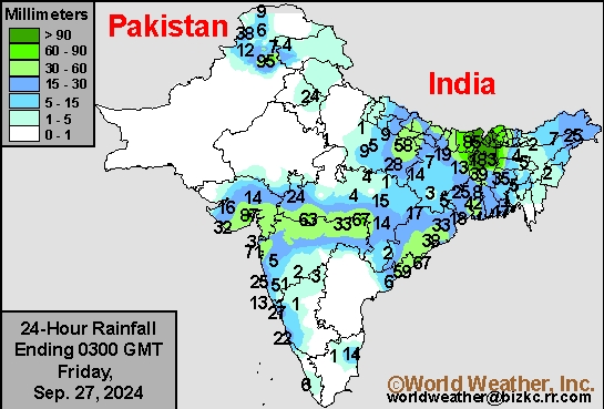
India Rainfall
This content is for members only
Low Temperature
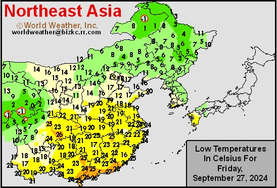
This content is for members only
Japan Rainfall
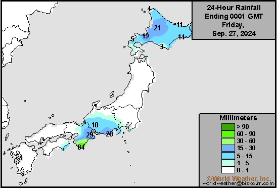
This content is for members only
Low Temperature
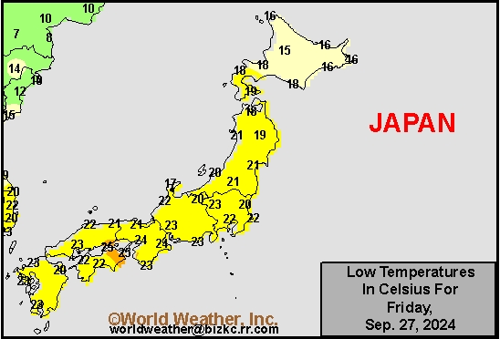
This content is for members only
High Temperature
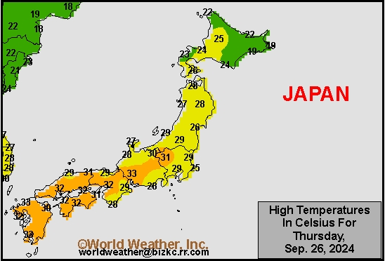
This content is for members only
High Temperature
This content is for members only
China Rainfall
This content is for members only
Low Temperature
This content is for members only
High Temperature
This content is for members only
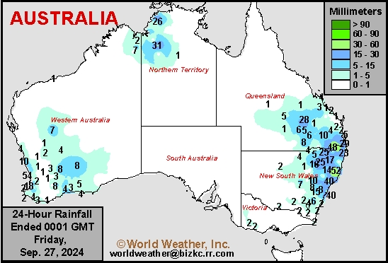
Austrailia Rainfall
This content is for members only
Hurricane Helene Greatest Impact North Florida, East Georgia
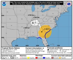
Kansas City, September 27 (World Weather Inc.) – Hurricane Helene moved into Florida from in the northeast part of the Apalachee Bay with 140 mph sustained wind speeds. The storm likely induced devastation from its storm surge, incredible wind speeds and extensive flooding from northern Florida northward into eastern Georgia, but the damage extended farther to the north reaching up along the southeastward facing slopes of the southern Appalachian Mountains in the Carolinas as well where torrential two-day rain totals of 12 to nearly 19 inches was reported. The only good news for the storm from an agricultural perspective is a lower impact on cotton production areas in southwestern Georgia and immediate neighboring areas as the storm’s path veered to the east after coming inland. Damage assessments are only just beginning and will continue for many days.
China Harvest, Planting Should Advance Around Bouts Of Rain
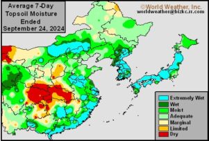
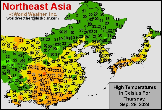
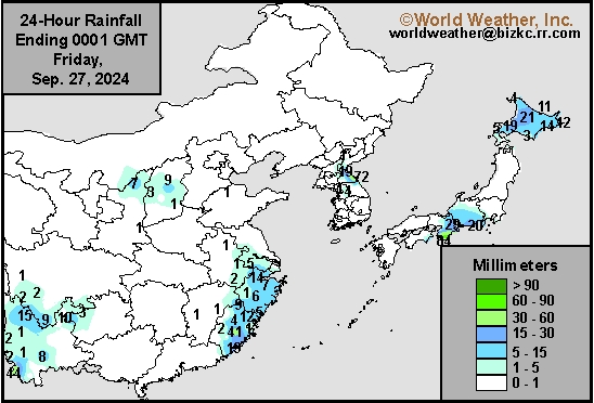
Kansas City, September 26 (World Weather Inc.) – Harvesting is either underway or set to begin in the near future across China. Heavy rainfall in portions of southeastern China may have slowed or delayed harvesting in recent days. Portions of northern China may have also received enough precipitation to limit fieldwork and marginally impact crop quality. Yield potentials remain generally good across the country due to favorable weather over the growing season. A frontal boundary will bring rain to portions of crop country Friday into early next week that may disrupt harvesting and general fieldwork. The moisture will be good for the planting of winter crops except in the Yangtze River Basin where dryness may prevail for a while longer. A weak tropical disturbance could also generate significant rain for portions of southeastern China next week, though confidence is low.
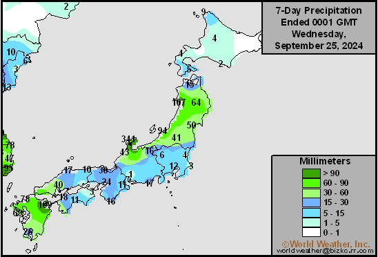
7-Day Rainfall
This content is for members only
7-Day Rainfall
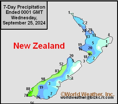
This content is for members only
7-Day Rainfall
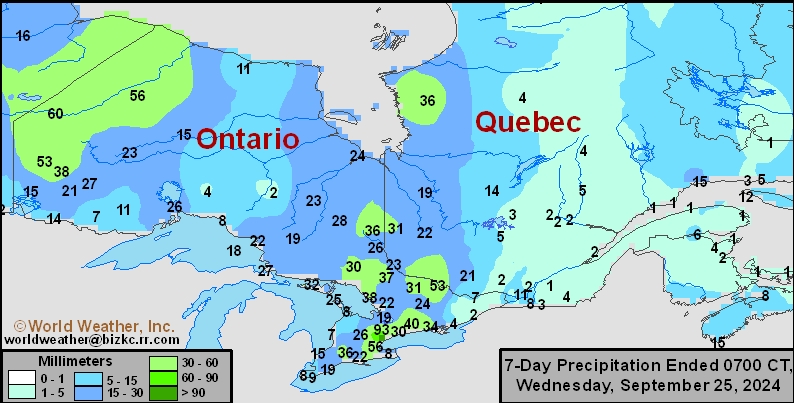
This content is for members only
7-Day Rainfall

This content is for members only
7-Day Rainfall

This content is for members only
7-Day Rainfall
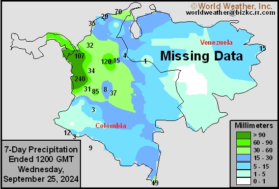
This content is for members only
7-Day Rainfall
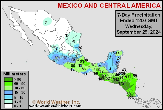
This content is for members only
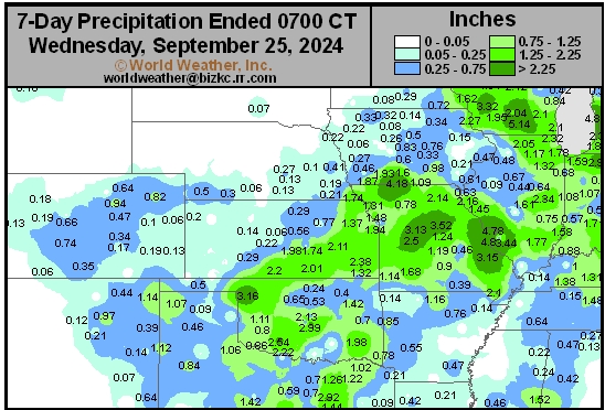
Hard Red Wheat 7-Day Rain
This content is for members only
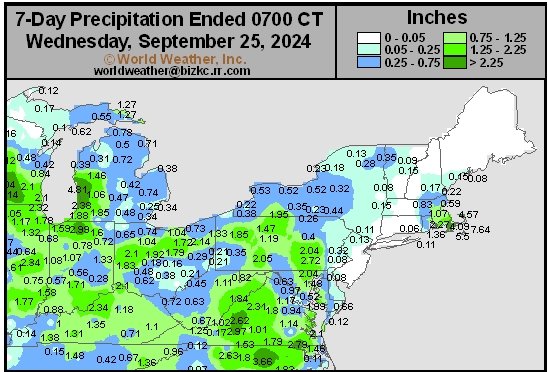
Northeast 7-Day Rain
This content is for members only
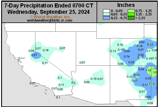
Southwest 7-Day Rain
This content is for members only
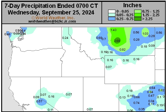
Northwest 7-Day Rain
This content is for members only
South Plains 7-Day Rain
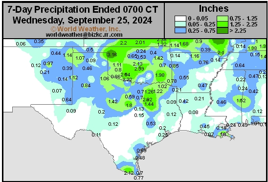
This content is for members only
Delta/SE U.S. 7-Day Rain
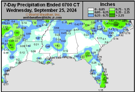
This content is for members only
Corn Belt 7-Day Rain
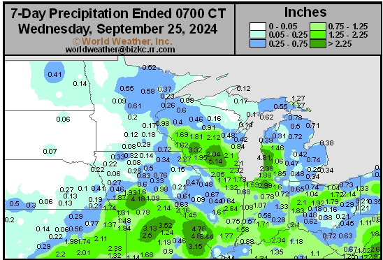
This content is for members only
North Plains 7-Day Rain
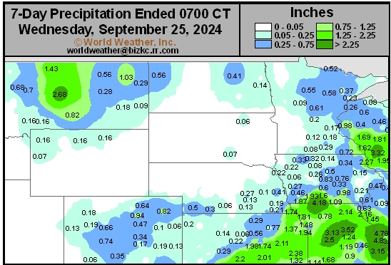
This content is for members only
7-Day Rainfall

This content is for members only
7-Day Rainfall
This content is for members only
7-Day Rainfall
This content is for members only
7-Day Rainfall
This content is for members only
7-Day Rainfall
This content is for members only
7-Day Rainfall
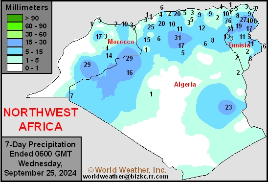
This content is for members only
7-Day Rainfall
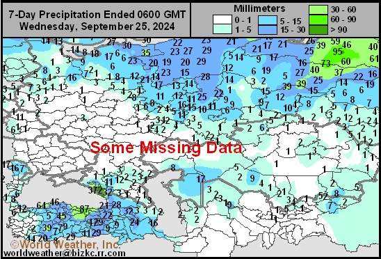
This content is for members only
7-Day Rainfall
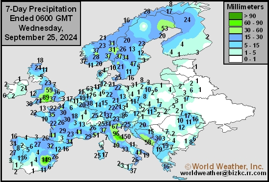
This content is for members only
7-Day Rainfall
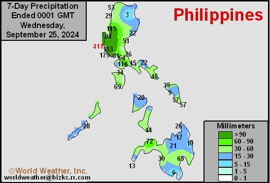
This content is for members only
7-Day Rainfall
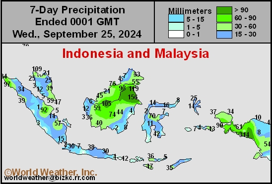
This content is for members only
7-Day Rainfall
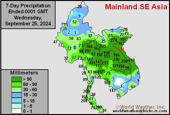
This content is for members only
7-Day Rainfall
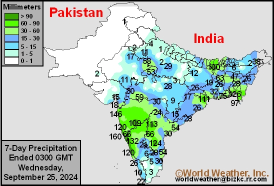
This content is for members only
7-Day Rainfall
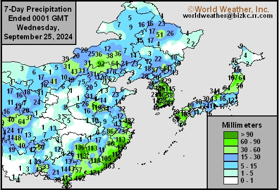
This content is for members only
7-Day Rainfall
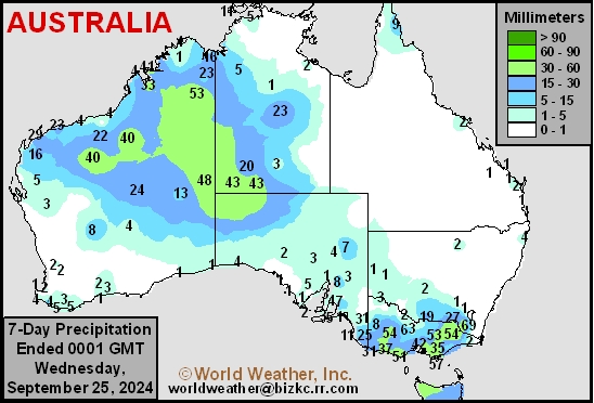
This content is for members only
Hurricane John Inducing, Flooding Rain In SW Mexico
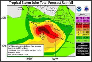
Kansas City, September 26 (World Weather Inc.) – Guerrero and Oaxaca, Mexico have already been impacted by Hurricane John as it started to meander along the southwestern Mexico coastline early this week. Flooding and landslides were already noted in portions of Guerrero while rain lashed several neighboring areas. Hurricane John will continue to meander along the southwestern Mexico coastline in the coming days, producing heavy rain in portions of Guerrero, Michoacan, Colima and Oaxaca. Several areas near the coasts will receive one to over two feet of rain (12-24 inches or 304-608mm) and severe flooding and landslides are expected. The torrential rain combined with damaging wind speeds will likely damage some citrus, sugarcane, sorghum and corn as well as other crops produced in the region. Remnants of John will continue to promote rain later this weekend and the first part of next week that will likely limit drying, damage assessments, and general farming activity.
Venezuela/Colombia Min Temps
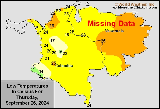
This content is for members only
Venezuela/Colombia Max Temps
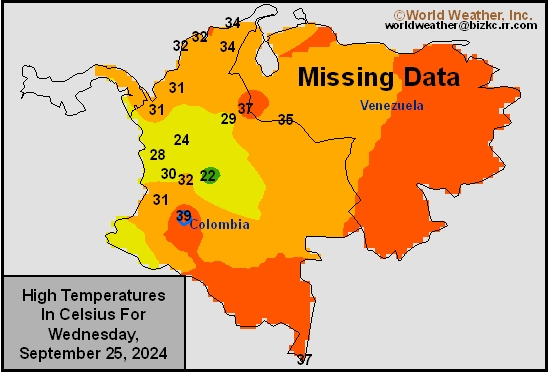
This content is for members only
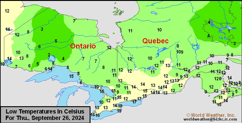
SE Canada Min
This content is for members only
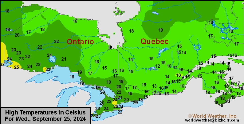
SE Canada Max
This content is for members only