
China Harvest, Winter Crop Planting To Advance Swiftly
This content is for members only
Tropical Storm Simon Aiming For Northwestern Mexico
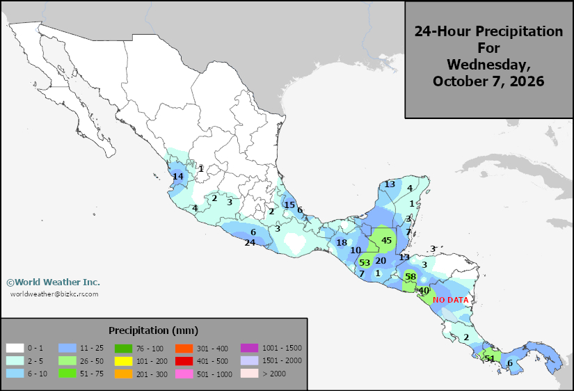
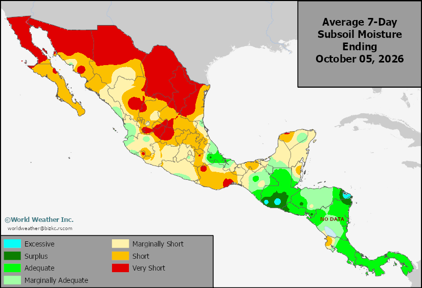
Kansas City, October 8 (World Weather Inc.) – Tropical Storm Simon was located to the southwest of Mexico this morning. The disturbance will slowly travel to the west-northwest during the next few days with intensification into a hurricane expected overnight tonight. Simon will travel close enough to Mexico to promote heavy rain near and along the Jalisco coastline late Saturday and Sunday before the disturbance enters northwestern Mexico early next week. Coastal flooding and dangerous storm surge are expected for portions of the Jalisco and Sinaloa coastlines. Significant rainfall may also slow or delay harvesting and general fieldwork for the crops that are maturing and getting ready for harvest. Minor damage will be possible for the corn, groundnuts, and other crops produced this time of year.
Venezuela/Colombia Min Temps
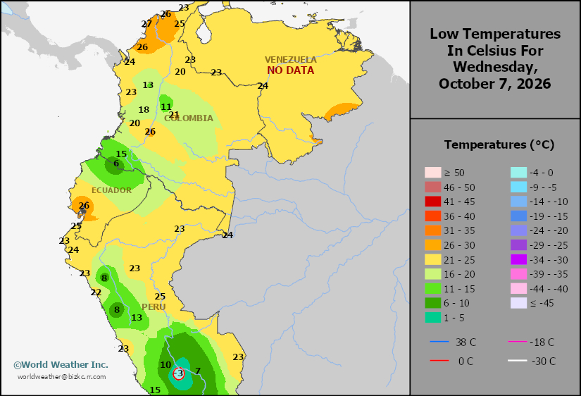
This content is for members only
Venezuela/Colombia Max Temps
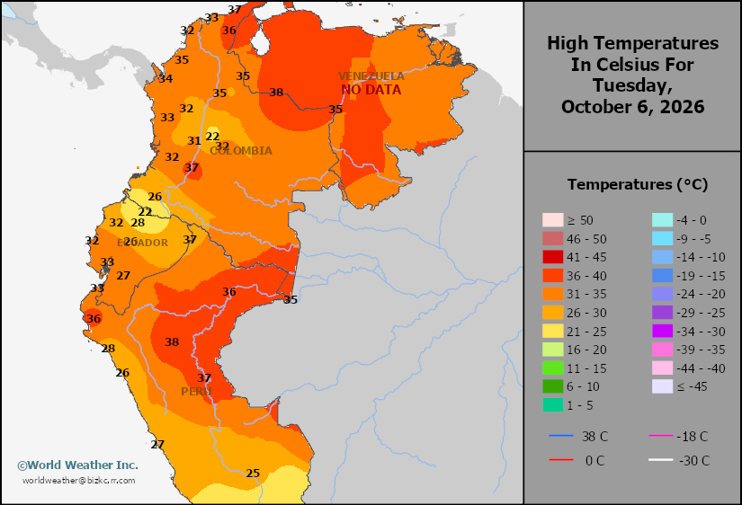
This content is for members only
SE Canada Min
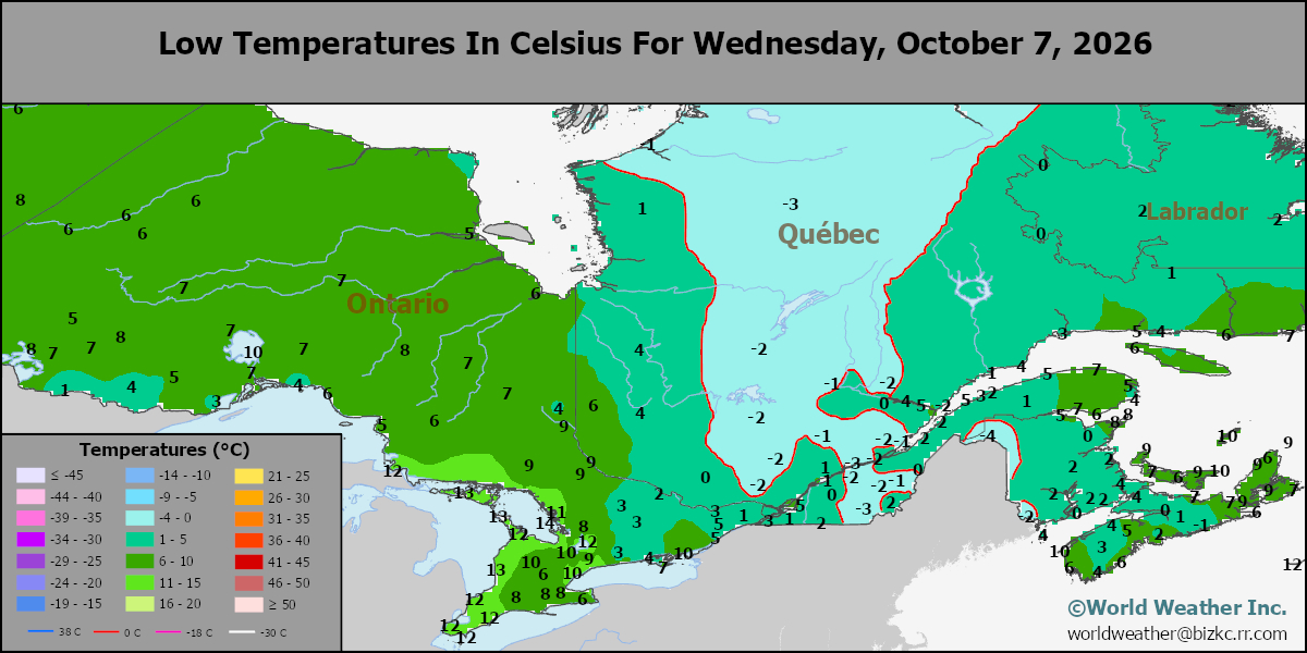
This content is for members only
SE Canada Max
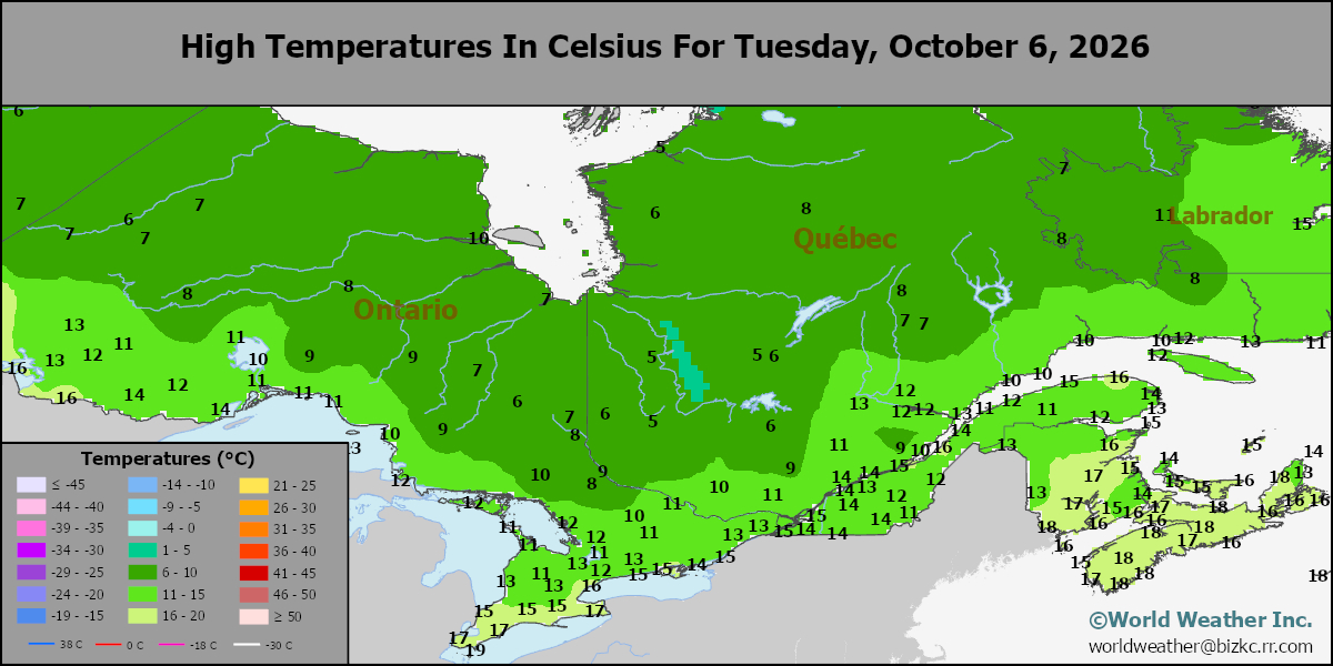
This content is for members only
SE Canada Rainfall
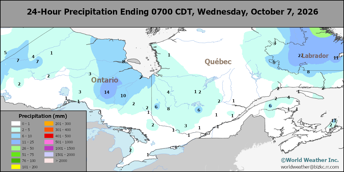
This content is for members only
Prairies Rainfall
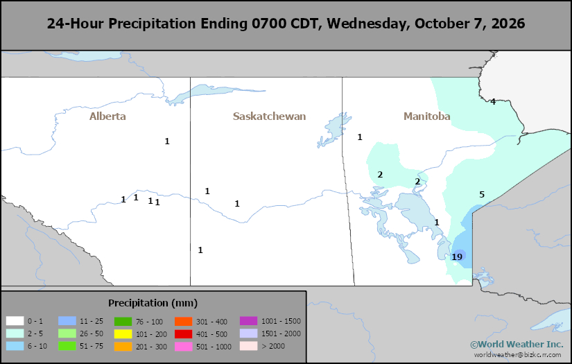
This content is for members only
Prairies Max Temperature
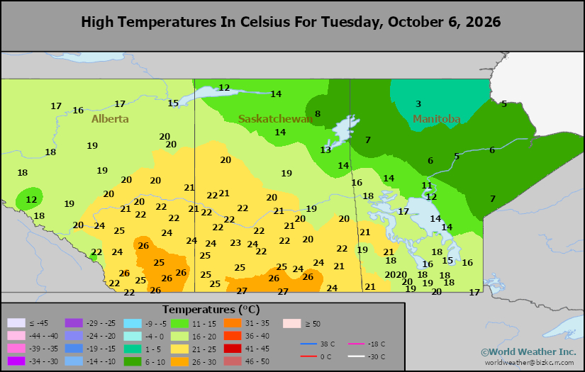
This content is for members only
Prairies Min Temperature
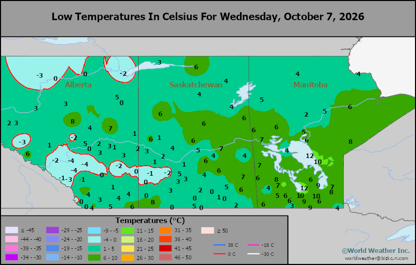
This content is for members only
Canada Rainfall
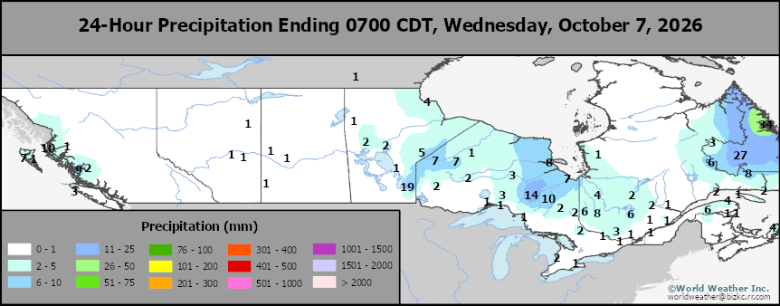
This content is for members only
Venezuela Rainfall
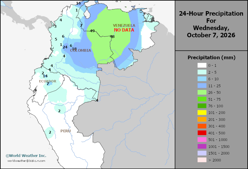
This content is for members only
Mexico Min Temperature
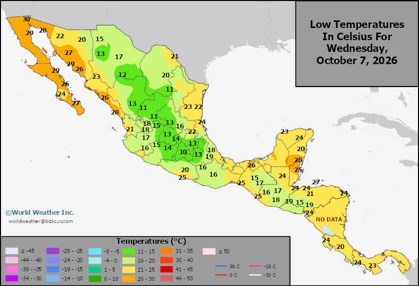
This content is for members only
Mexico Max Temperature
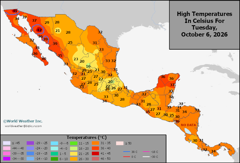
This content is for members only
Mexico Rainfall
This content is for members only
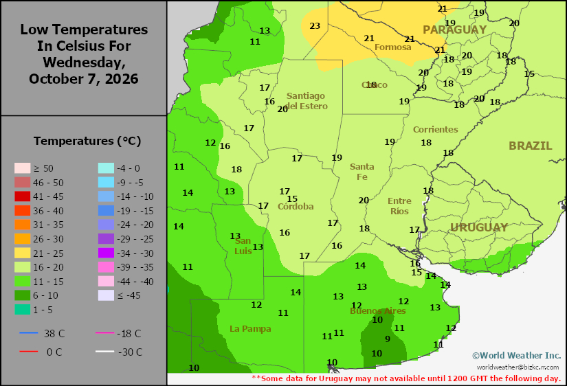
Argentina Min Temperature
This content is for members only
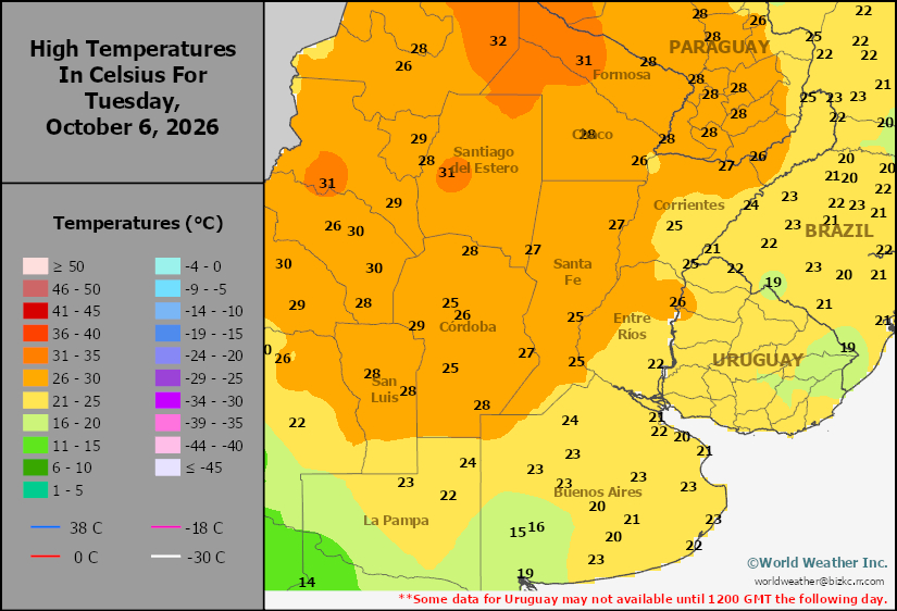
Argentina Max Temperature
This content is for members only
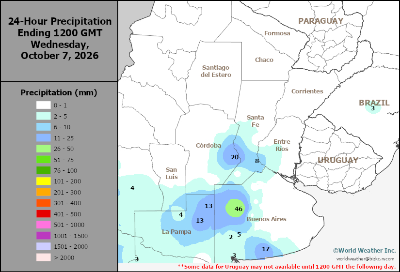
Argentina Rainfall
This content is for members only
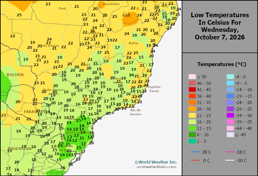
Brazil Min Temperature
This content is for members only
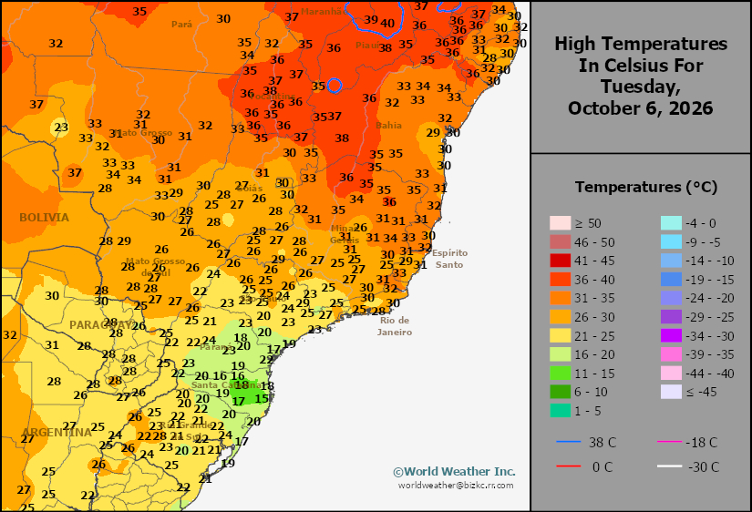
Brazil Max Temperature
This content is for members only
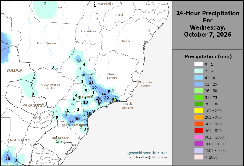
Brazil Rainfall
This content is for members only
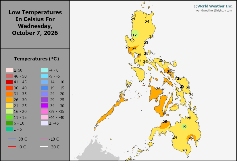
Philippines Min
This content is for members only
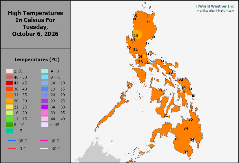
Philippines Max
This content is for members only
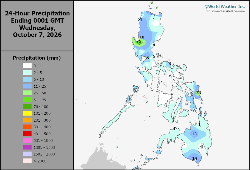
Philippines Rain
This content is for members only
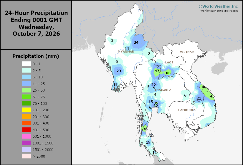
Southeast North Rain
This content is for members only
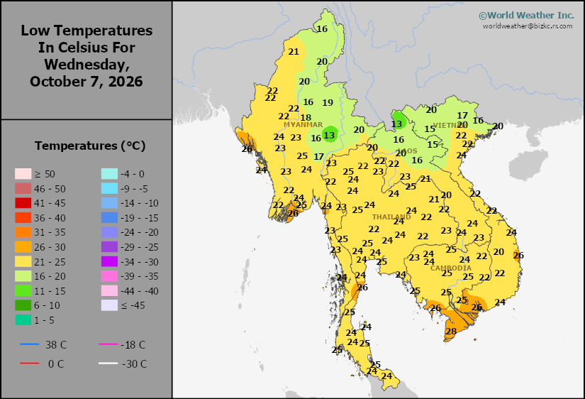
Southeast North Min
This content is for members only
Southeast North Max
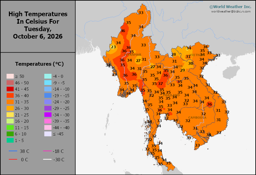
This content is for members only
Southeast Min
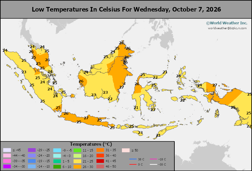
This content is for members only
Southeast Max
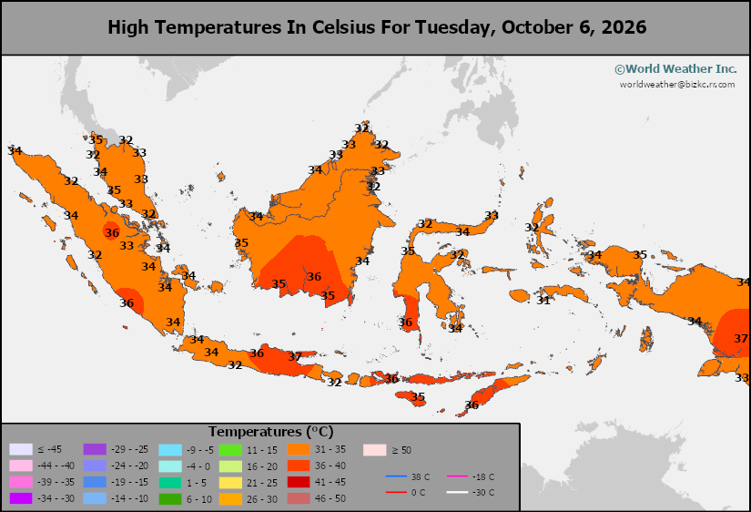
This content is for members only
Southeast Rain
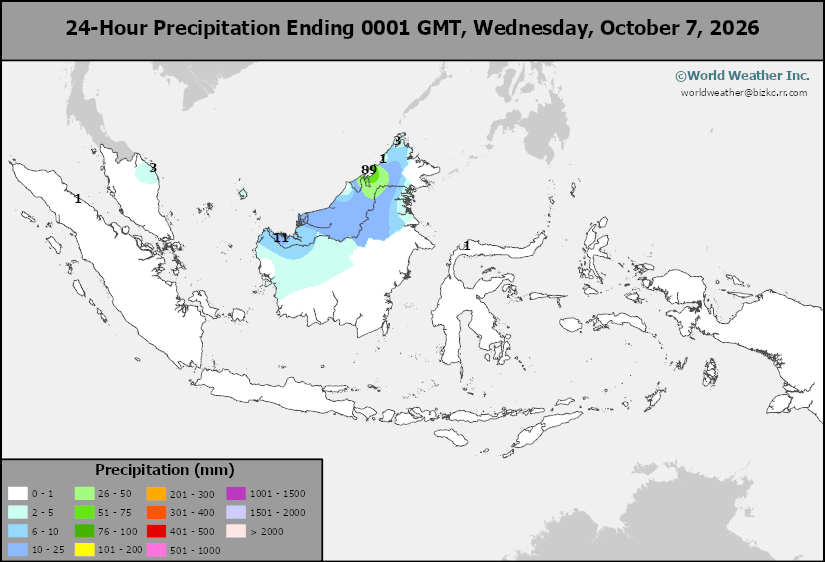
This content is for members only
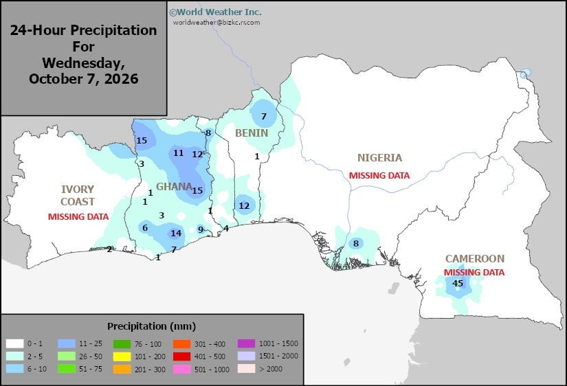
West Africa Rain
This content is for members only
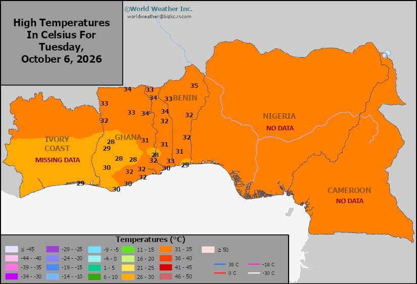
Max Temperature
This content is for members only
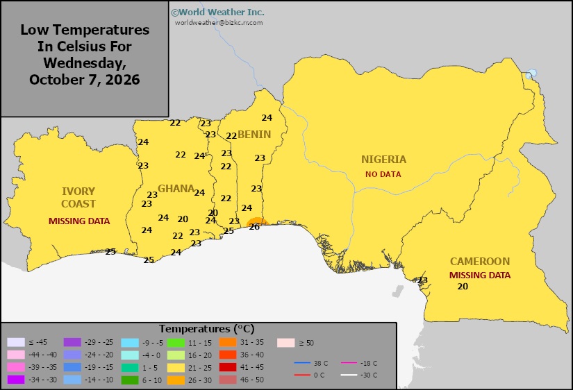
Min Temperature
This content is for members only
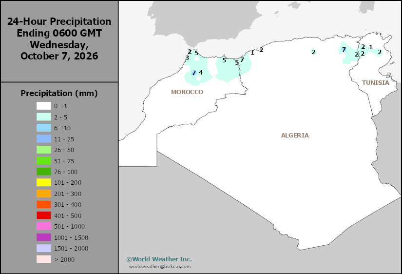
North Africa Rain
This content is for members only
Max Temperature
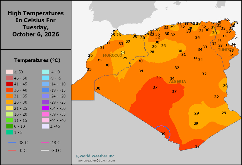
This content is for members only
Min Temperature
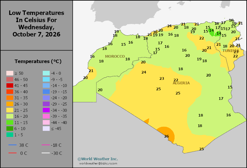
This content is for members only
Min Temperature
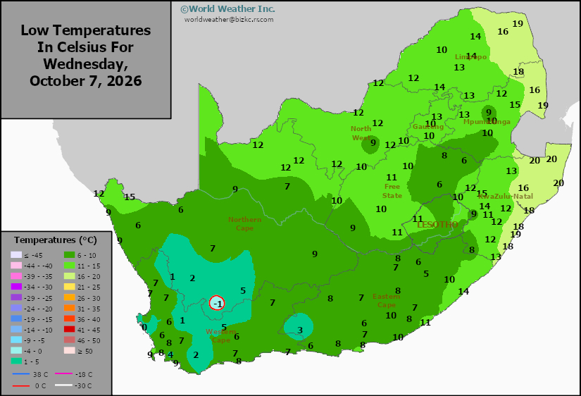
This content is for members only
Max Temperature
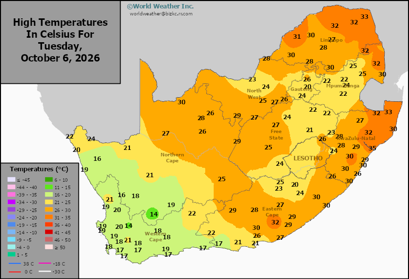
This content is for members only
South Africa Rain
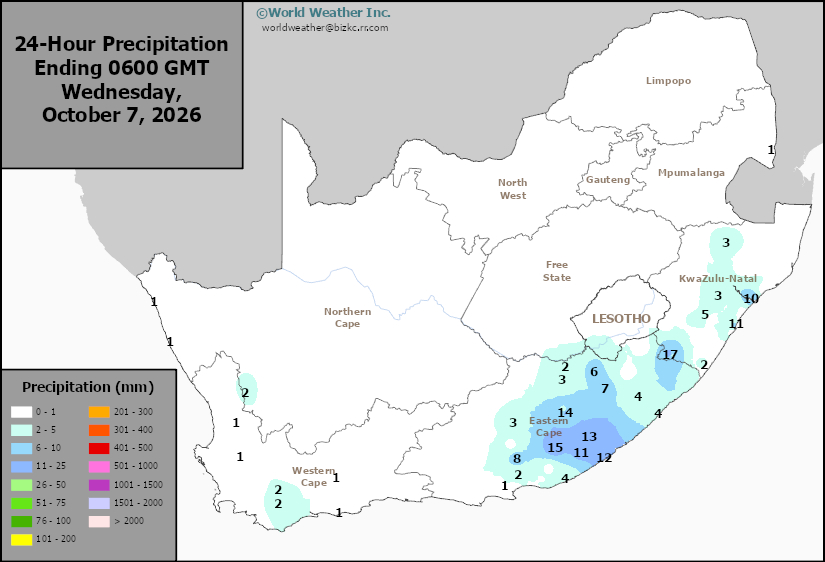
This content is for members only
Hard Red Wheat Tmin
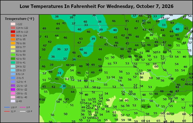
This content is for members only
Northeast Tmin
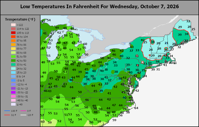
This content is for members only
Southwest Tmin
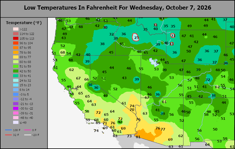
This content is for members only
Northwest Tmin
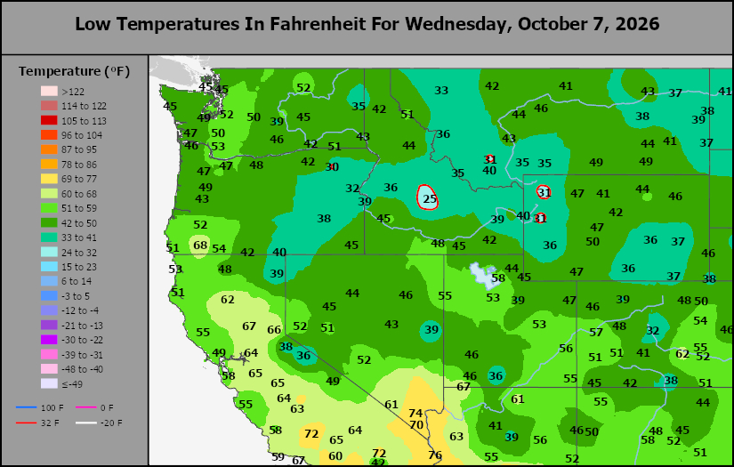
This content is for members only
South Plains Tmin
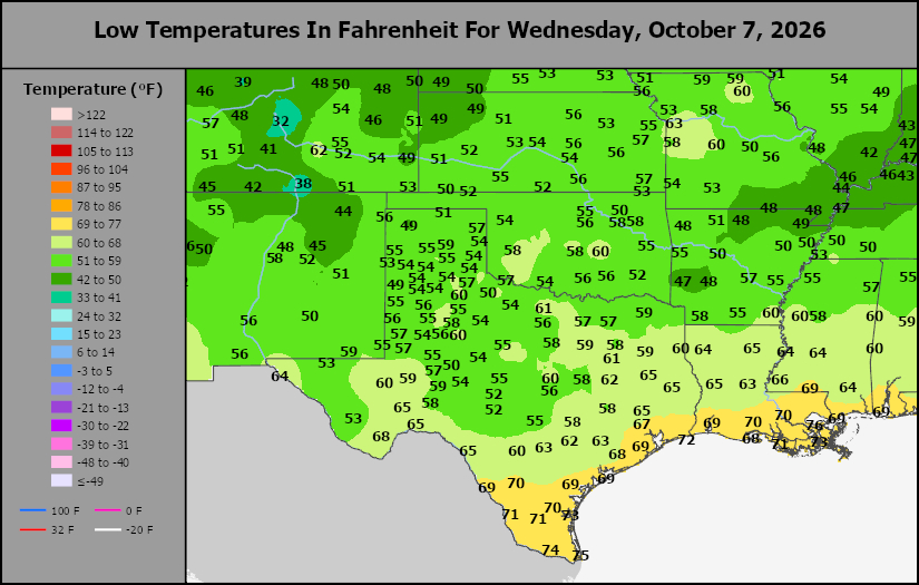
This content is for members only
Delta/SE U.S. Tmin
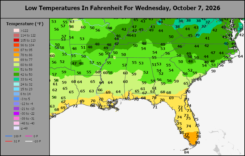
This content is for members only
Corn Belt Tmin
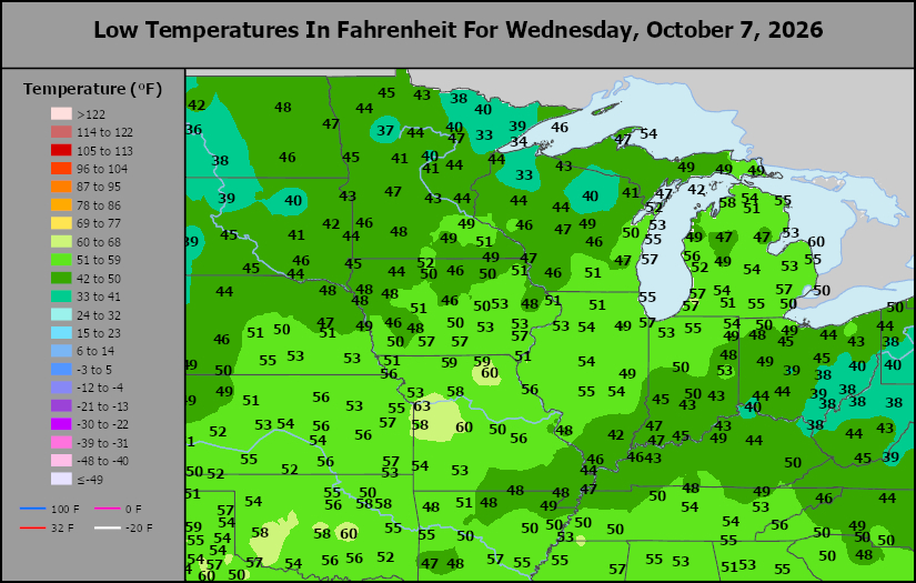
This content is for members only
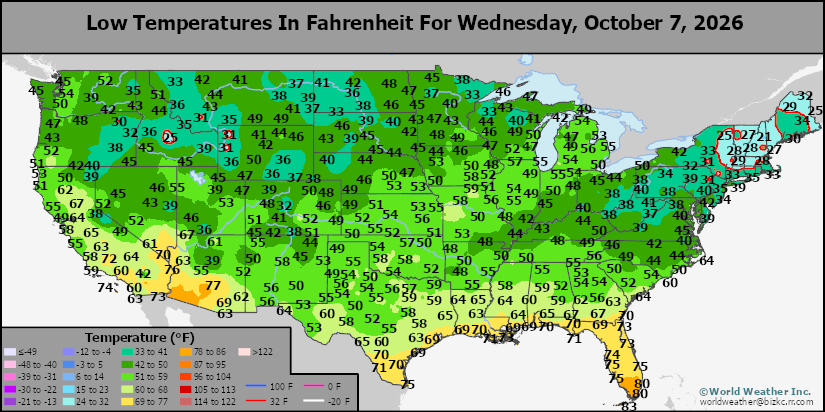
US Min
This content is for members only
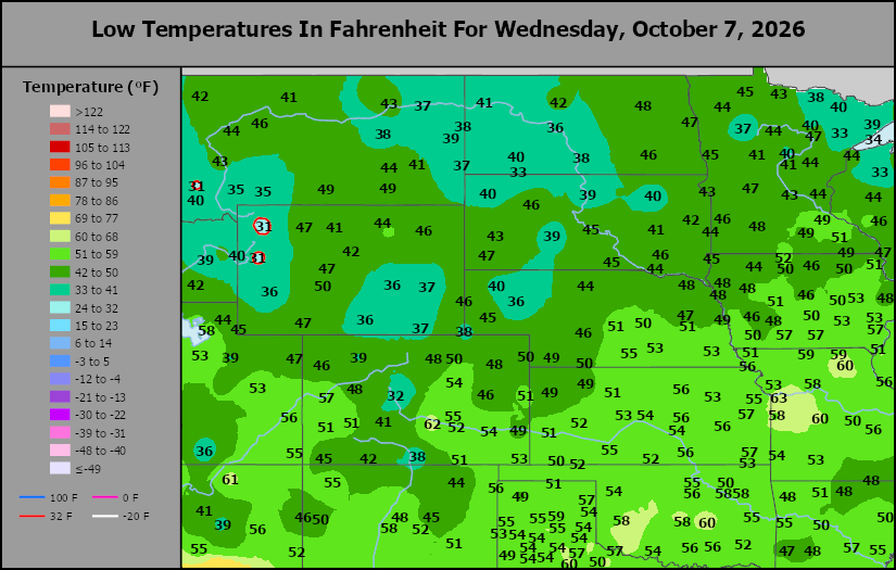
North Plains Tmin
This content is for members only
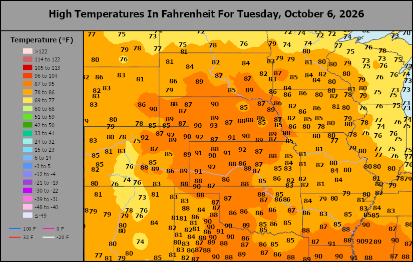
Hard Red Wheat Tmax
This content is for members only
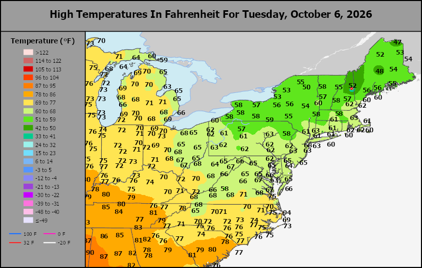
Northeast Tmax
This content is for members only
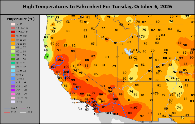
Southwest Tmax
This content is for members only
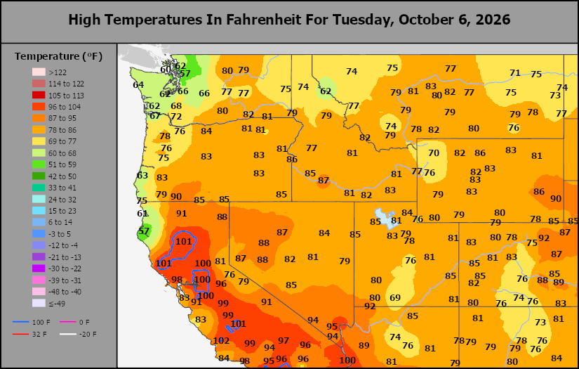
Northwest Tmax
This content is for members only
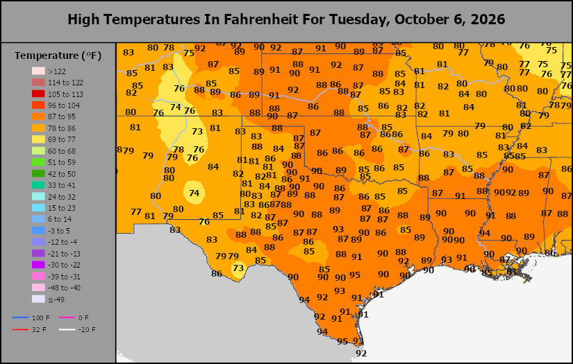
South Plains Tmax
This content is for members only
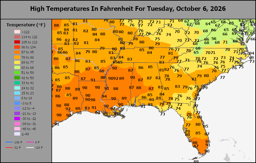
Delta/SE U.S. Tmax
This content is for members only
Corn Belt Tmax
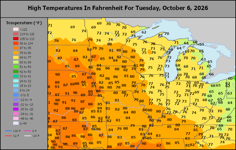
This content is for members only
North Plains Tmax
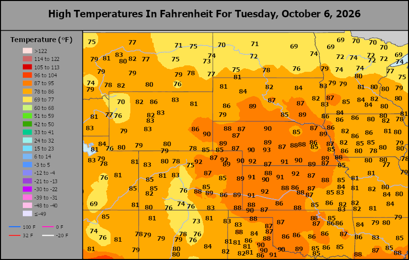
This content is for members only
US Max
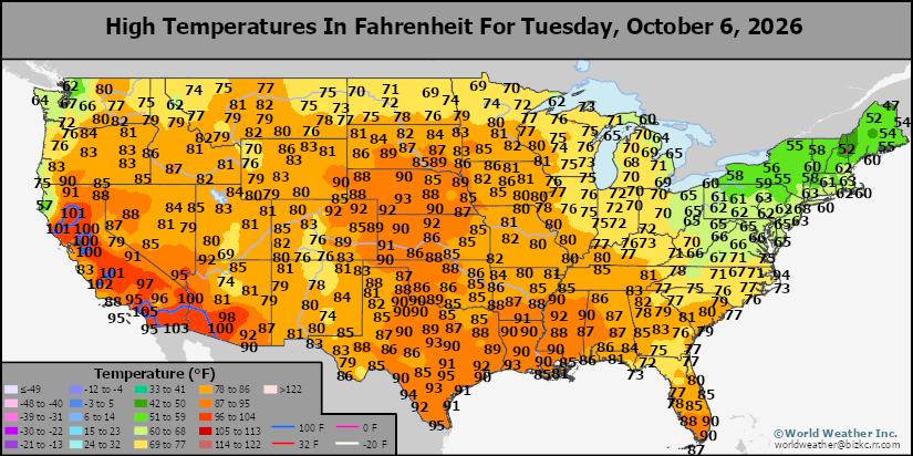
This content is for members only
US Rain
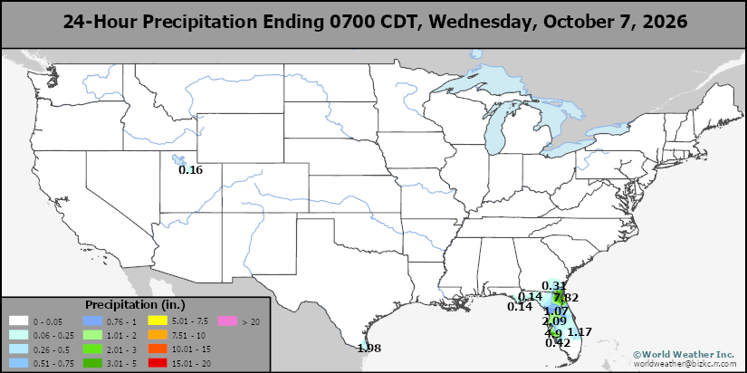
This content is for members only
Northeast Daily Rain
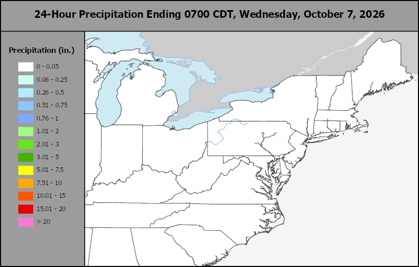
This content is for members only
Hard Red Wheat Daily Rain
This content is for members only
Southwest Daily Rain
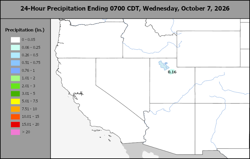
This content is for members only
Northwest Daily Rain
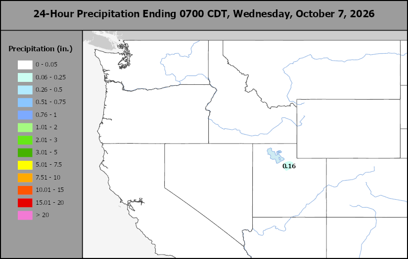
This content is for members only
South Plains Daily Rain
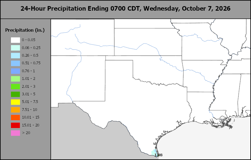
This content is for members only
Delta/SE U.S. Daily Rain
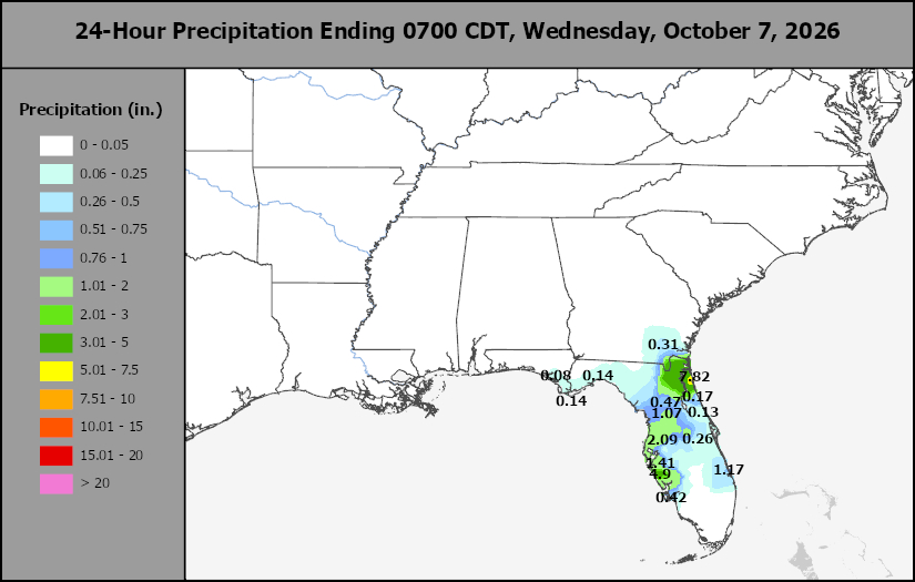
This content is for members only
Corn Belt Daily Rain
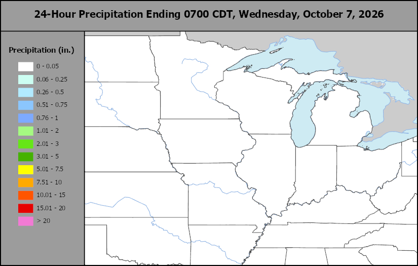
This content is for members only
North Plains Daily Rain
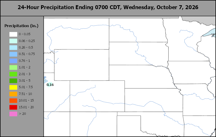
This content is for members only
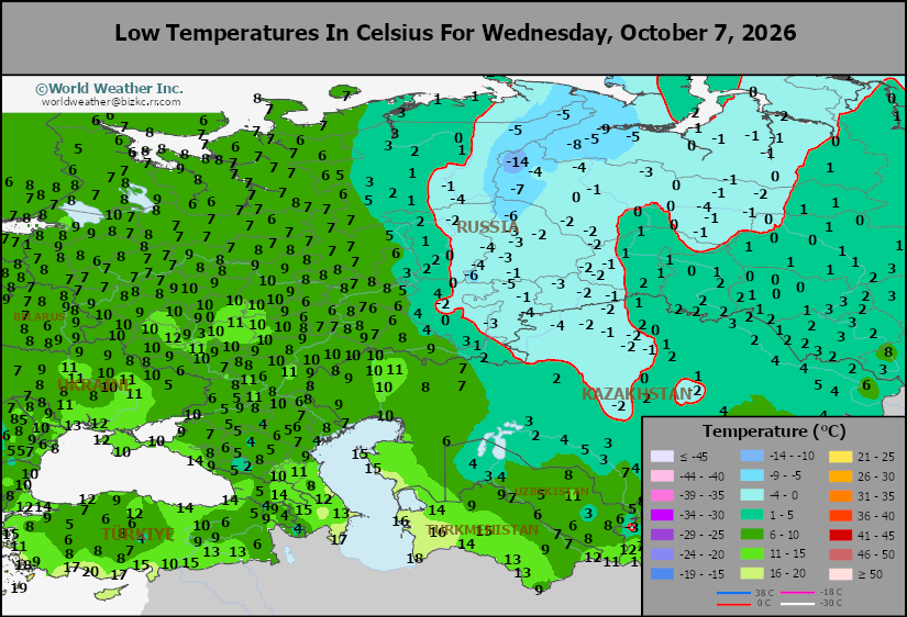
Low Temperature
This content is for members only
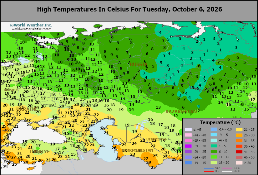
High Temperature
This content is for members only
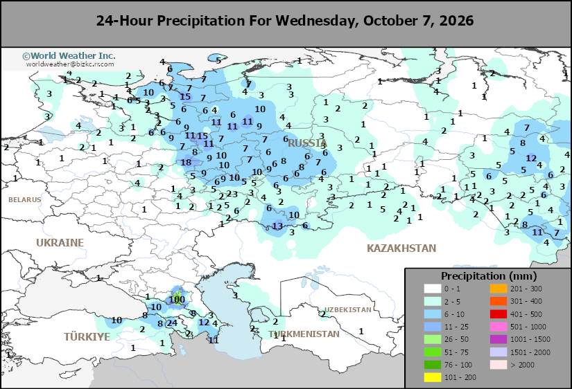
CIS Rainfall
This content is for members only
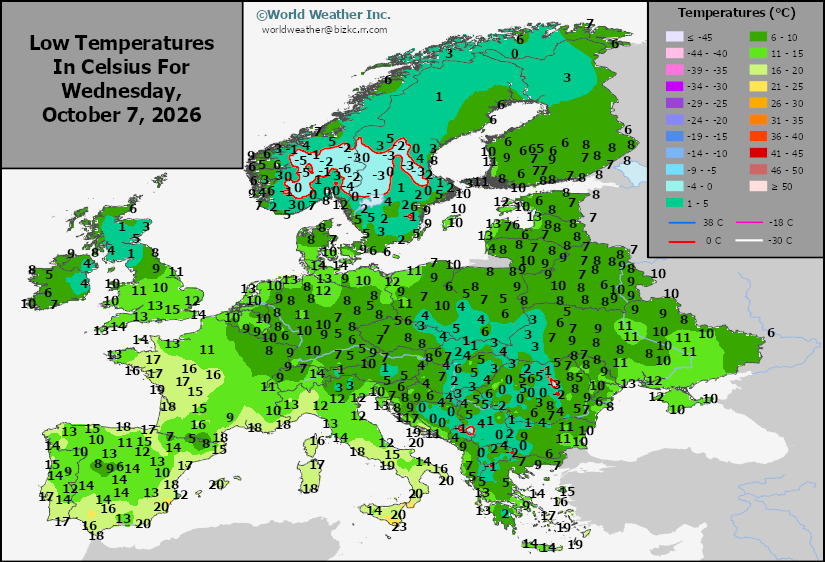
Low Temperature
This content is for members only
High Temperature
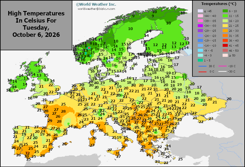
This content is for members only
Europe Rainfall
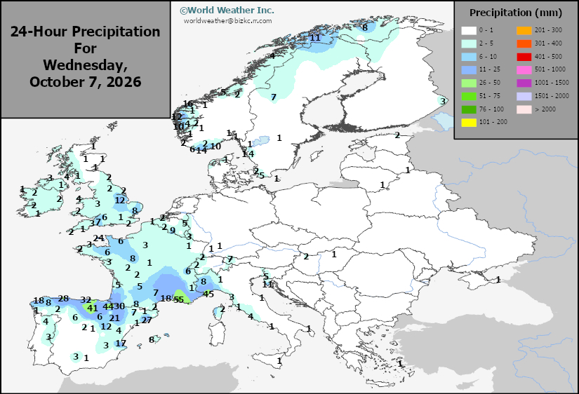
This content is for members only
Low Temperature
This content is for members only
High Temperature
This content is for members only
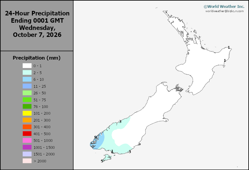
New Zealand Rainfall
This content is for members only
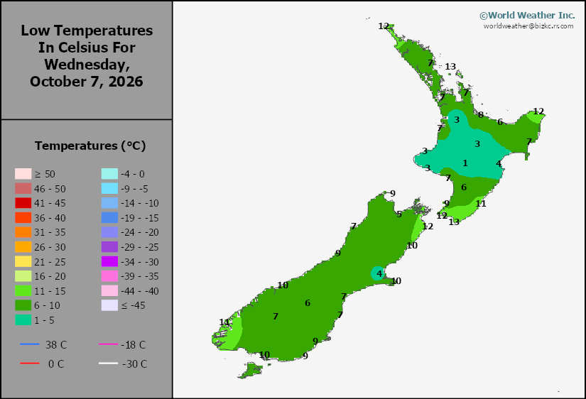
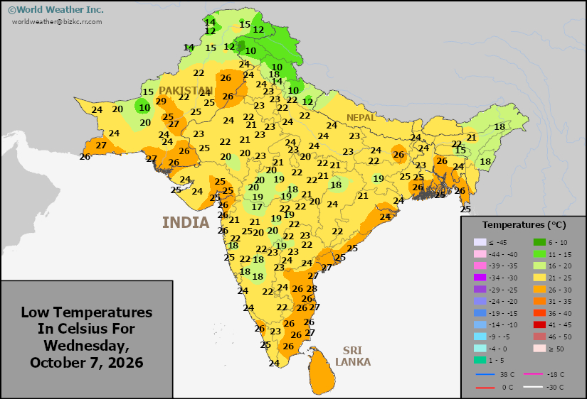
Low Temperature
This content is for members only
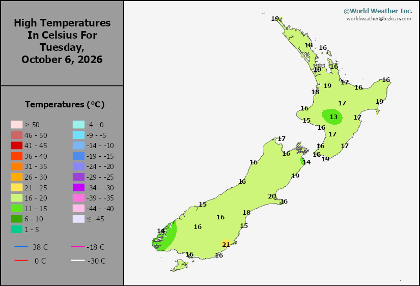
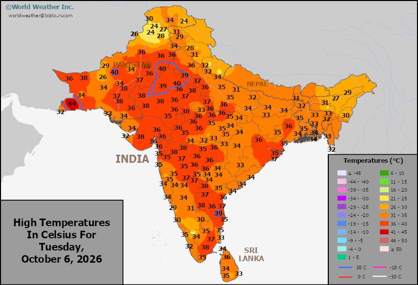
High Temperature
This content is for members only
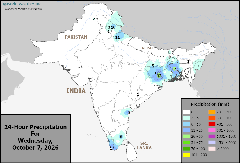
India Rainfall
This content is for members only
Low Temperature
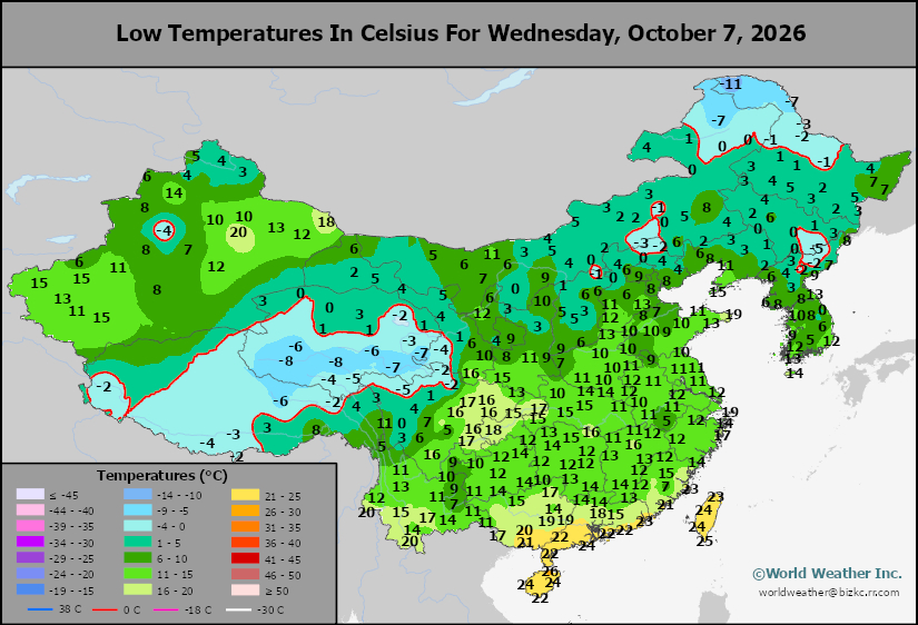
This content is for members only
Japan Rainfall
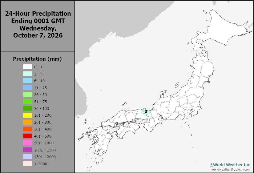
This content is for members only
Low Temperature
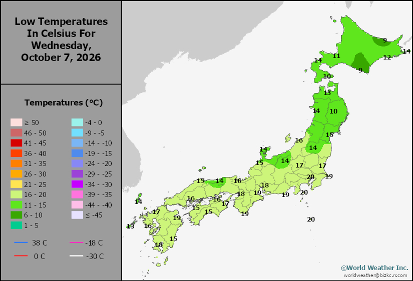
This content is for members only
High Temperature
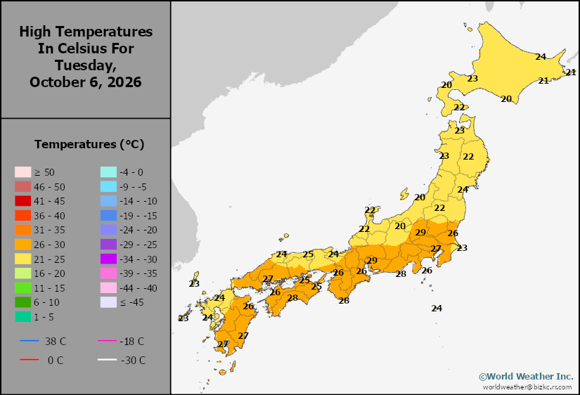
This content is for members only
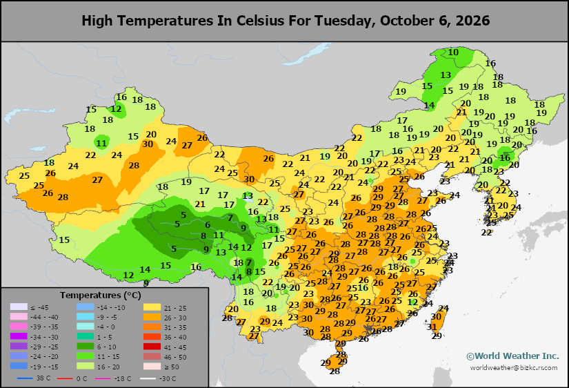
High Temperature
This content is for members only
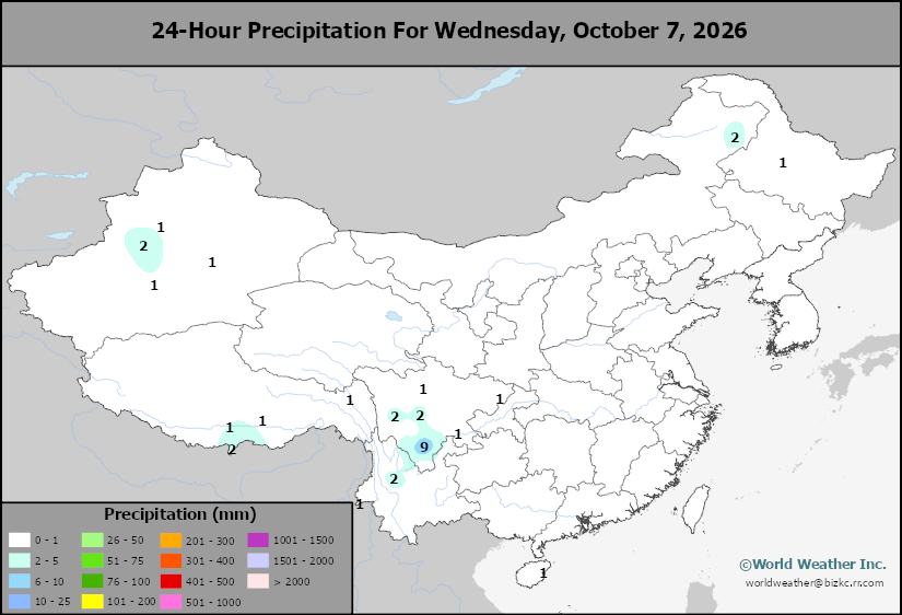
China Rainfall
This content is for members only
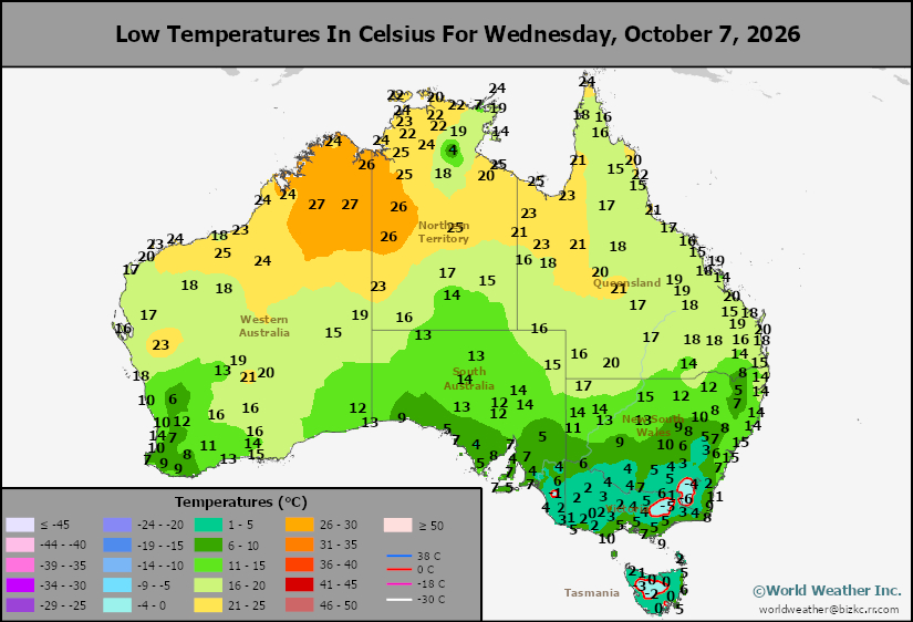
Low Temperature
This content is for members only
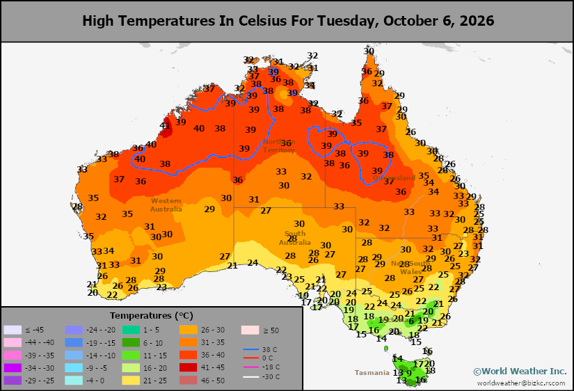
High Temperature
This content is for members only
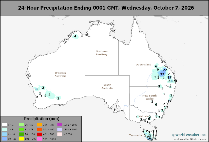
Austrailia Rainfall
This content is for members only
Hurricane Isaias Predicted Path Into U.S. Changes Little
Kansas City, October 8 (World Weather Inc.) – Isaias became a hurricane this morning and shows signs of continuing to intensify rather aggressively despite some wind shear. The storm will reach Category 2 status later today and remain a strong storm until just prior to reaching the U.S. Gulf of America Coast near the Florida/Alabama border Friday evening into Saturday morning. The storm will move quickly to the north while weakening during the weekend, although summer crop harvesting and winter grain planting will be disrupted for few days. The storm’s impact will be greatest near the coast in southern Alabama and in the Florida Panhandle where flooding and wind damage will be greatest.
El Nino May Restrict India Autumn, Winter Rainfall
Kansas City, October 7 (World Weather Inc.) – Monsoonal rains have withdrawn from northern India which is normal for this time of year; however, with some areas reporting less than usual summer precipitation there may be a little more concern about water supply and soil moisture for winter crops. The situation is not critical, but if El Nino produces a drier and warmer than usual winter – which is expected – there may be some reason to be concerned about winter crop production. In the meantime, summer crop production for the country as a whole is expected to be lower than usual due to poor monsoonal rainfall this year. Rainfall through the middle of next week will prevail for portions of southern, eastern, and extreme northern India while aggressive drying continues elsewhere.
Argentina Summer Crop Planting Off To Good Start
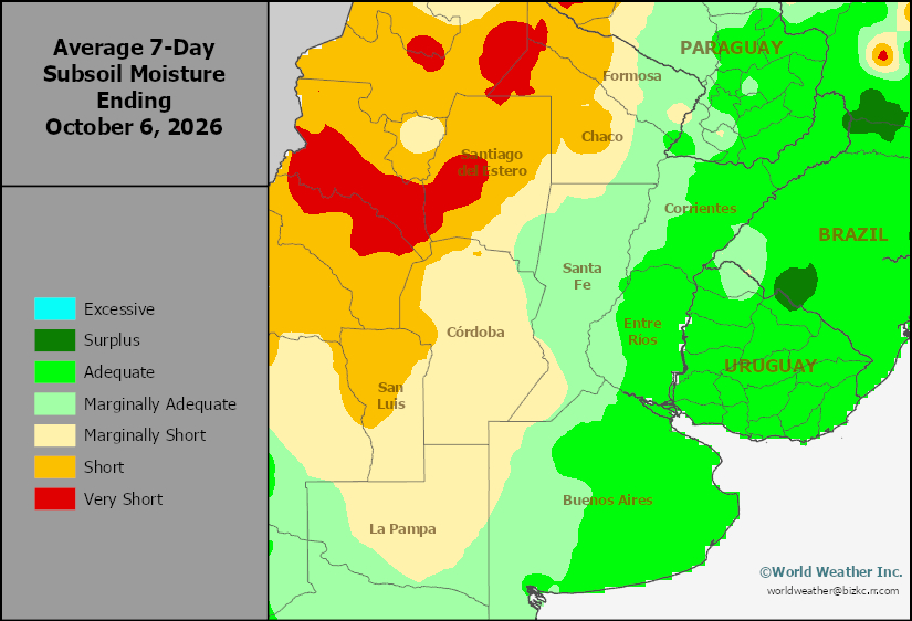
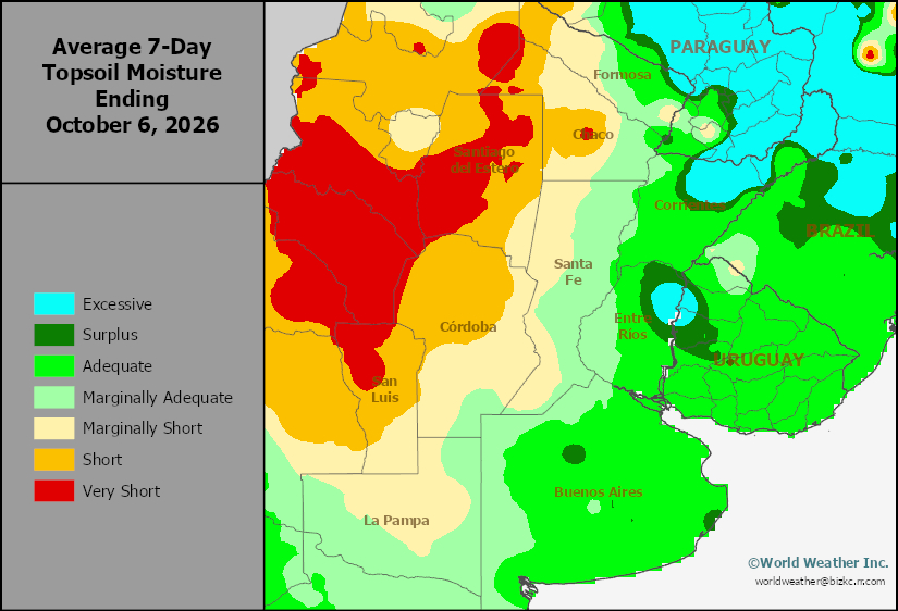
Kansas City, October 6 (World Weather, Inc.) – Argentina has seen a good mix of rain and sunshine in recent weeks allowing for corn, rice, and sunseed planting to advance at or ahead of last year’s pace. Meanwhile, soil moisture has been supportive of winter wheat development in much of the country with a growing need for rain in western and north-central parts of the country. The weather pattern through the next two weeks will be supportive of summer crop planting, germination, and development while winter wheat in the drier parts of the country will benefit from rain.
Eastern Australia Rain Will Be Welcome For Early Planting
Kansas City, October 6 (World Weather Inc.) – Harvesting is either getting underway or will expand in the coming weeks for Australia’s winter wheat, barley, and canola. Rainfall in Victoria, South Australia, and southern fringes of New South Wales during the past week may have slowed or delayed early-season harvesting. Minor quality declines were possible in the wettest areas of Victoria as well, though production potentials remain favorable since most of that crop is immature. Much of Australia will see a mix of rain and sunshine during the coming week, including the driest areas of Queensland and New South Wales. Harvesting should advance swiftly around the rain. Planting of the summer grains, oilseeds, and cotton is also under way in eastern Australia. Rainfall in coming days will be welcome, though much more precipitation is needed for better long-term production potentials.
Weekly Citrus Weather for Tuesday, October 6, 2026
Kansas City, October 5 (World Weather Inc.) – Florida’s citrus region again saw waves of rain during the past week. A quasi-stationary frontal boundary will promote significant rain during the next few days and citrus prospects will remain favorable. Mexico’s citrus regions also received significant amounts of rain during the past week. There are concerns some of the fruit swelled in the wettest locations, though overall impacts were suspected of being minimal. Alternating periods of rain and sunshine will persist during the coming week. Brazil’s citrus region will again see a mix of rain and sunshine during the coming week as well. The region would benefit from more significant rain later this month.
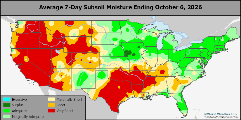
Subsoil Moisture
This content is for members only
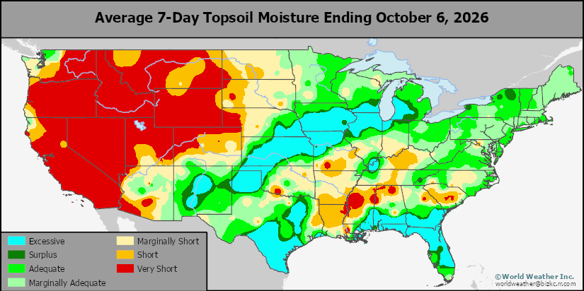
Topsoil Moisture
This content is for members only
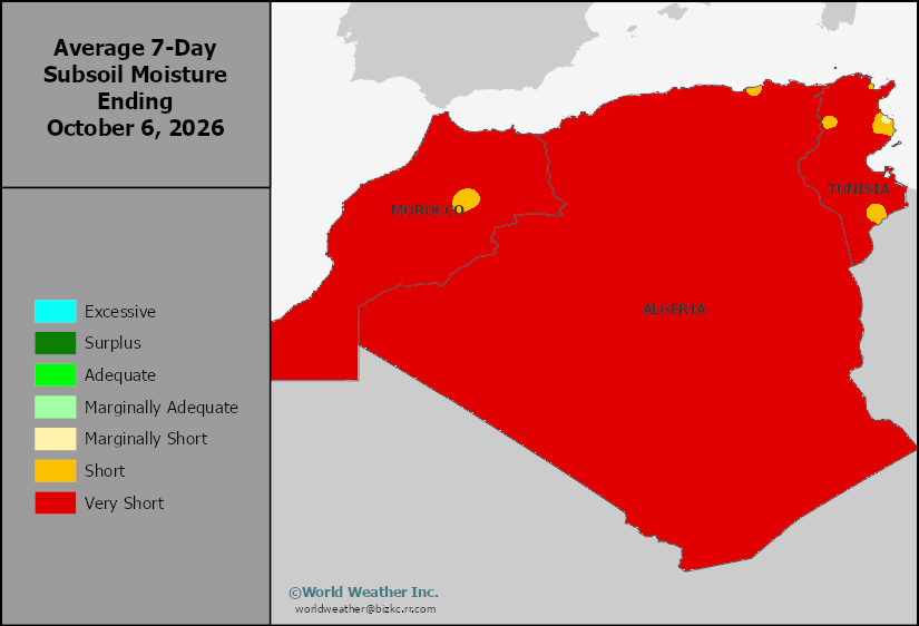
Subsoil Moisture
This content is for members only
Topsoil Moisture
This content is for members only
Subsoil Moisture
This content is for members only
Topsoil Moisture
This content is for members only
Subsoil Moisture
This content is for members only
Topsoil Moisture
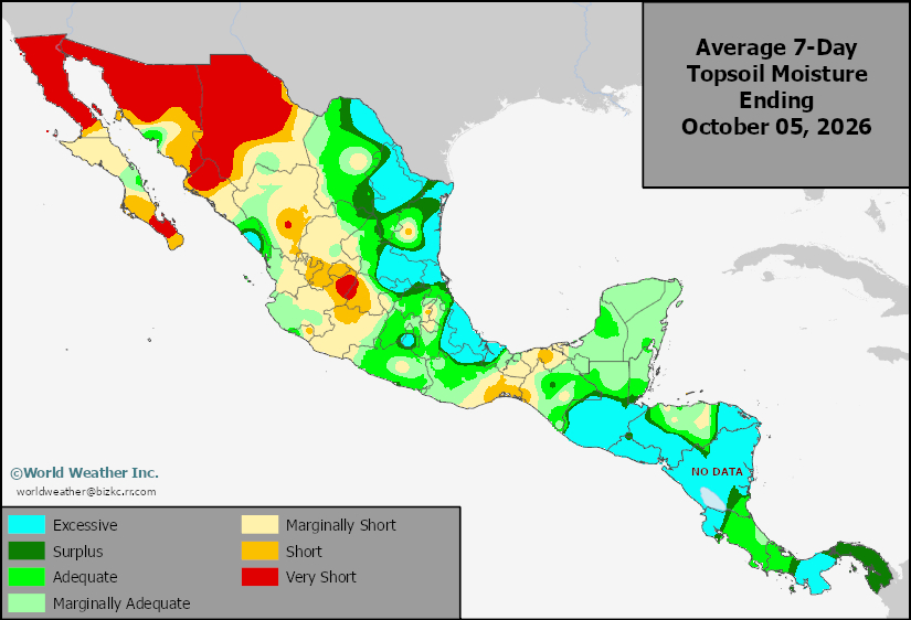
This content is for members only