
US Rain

This content is for members only
Northeast Daily Rain
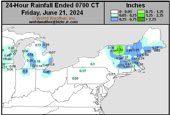
This content is for members only
Hard Red Wheat Daily Rain
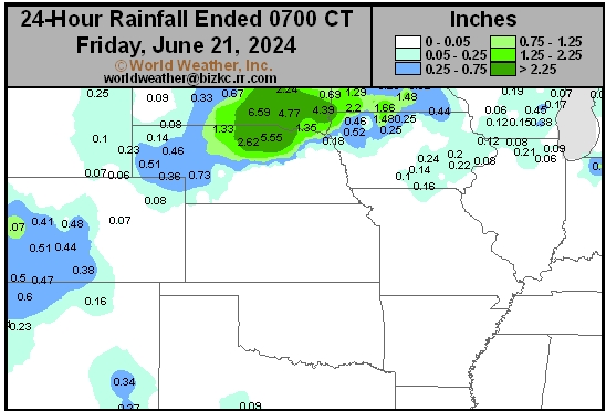
This content is for members only
Southwest Daily Rain
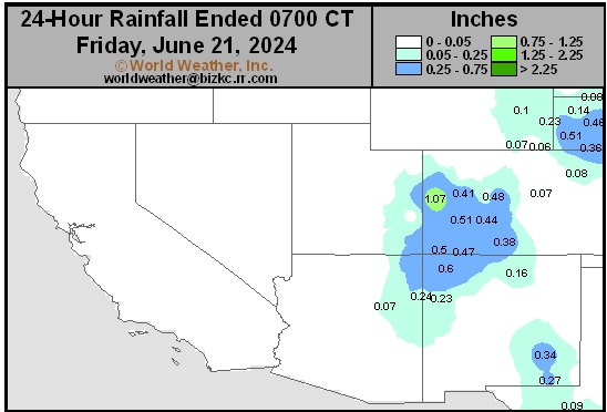
This content is for members only
Northwest Daily Rain
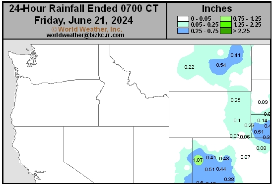
This content is for members only
South Plains Daily Rain
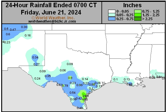
This content is for members only
Delta/SE U.S. Daily Rain
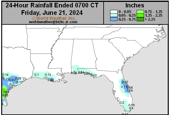
This content is for members only
Corn Belt Daily Rain
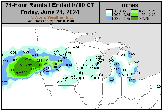
This content is for members only
North Plains Daily Rain
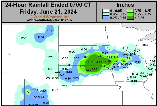
This content is for members only
Low Temperature
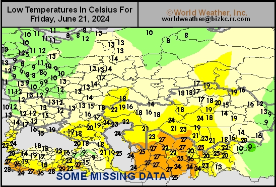
This content is for members only
High Temperature
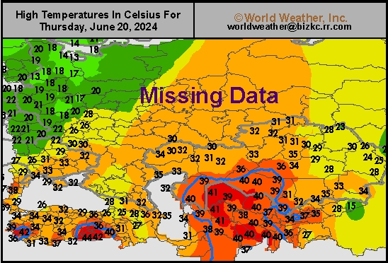
This content is for members only
CIS Rainfall
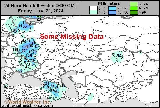
This content is for members only
Low Temperature
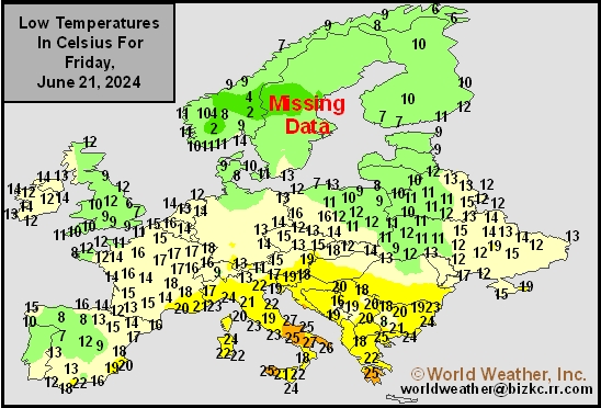
This content is for members only
High Temperature
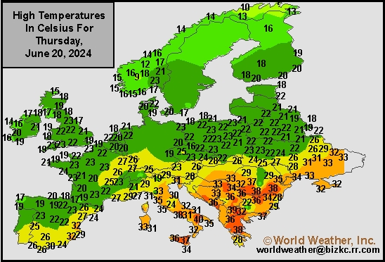
This content is for members only
Europe Rainfall
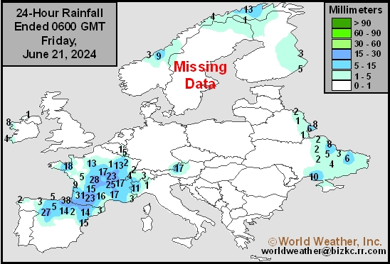
This content is for members only
Low Temperature
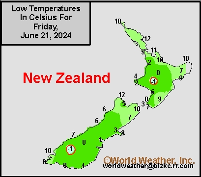
This content is for members only
High Temperature
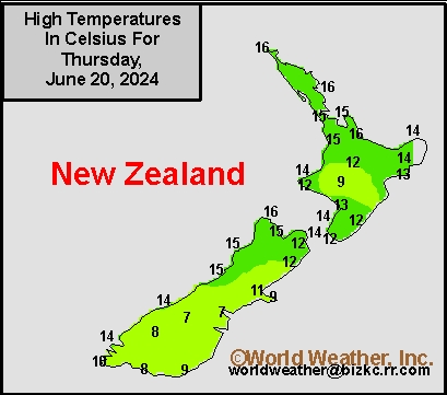
This content is for members only
New Zealand Rainfall
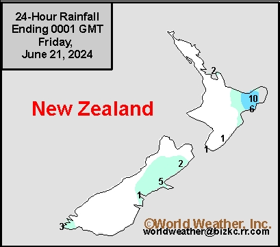
This content is for members only
Low Temperature
This content is for members only
High Temperature
This content is for members only
India Rainfall
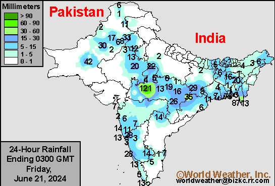
This content is for members only
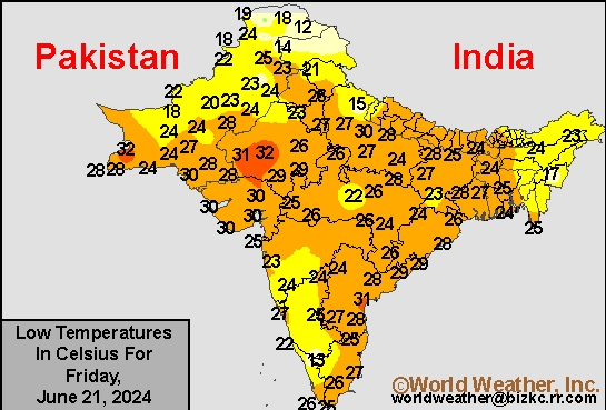
Low Temperature
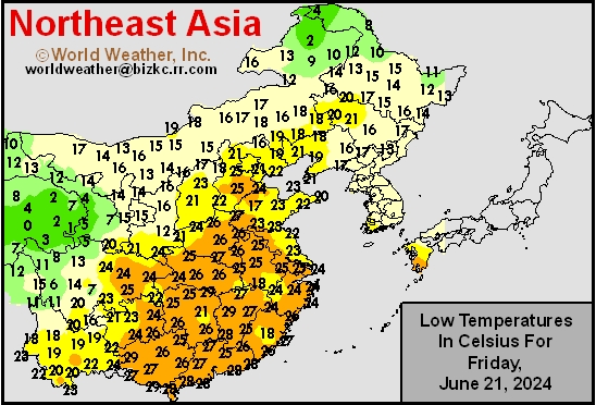
This content is for members only
Japan Rainfall
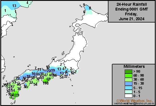
This content is for members only
Low Temperature
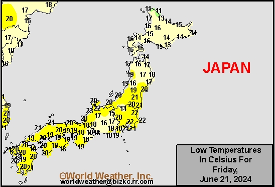
This content is for members only
High Temperature
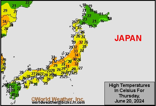
This content is for members only
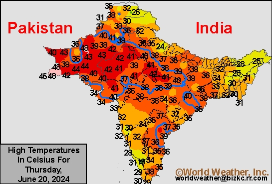
High Temperature
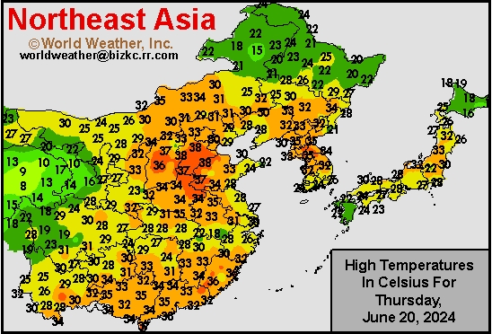
This content is for members only
China Rainfall
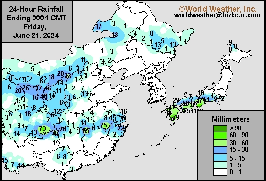
This content is for members only
Low Temperature
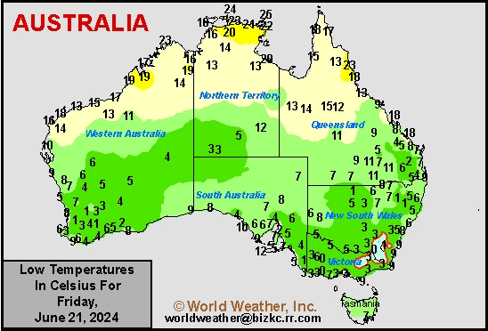
This content is for members only
High Temperature
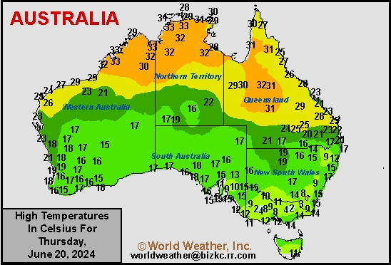
This content is for members only
Australia Rainfall
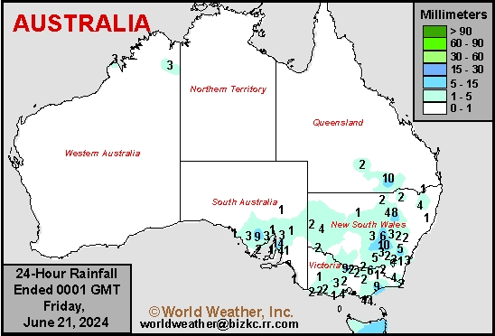
This content is for members only
U.S. Midwest, Plains Heat To Pressure Summer Crop Yields
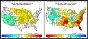
Kansas City, June 21 (World Weather Inc.) – El Nino’s influence on the world is over and the late April through early June wet bias in the U.S. Midwest is gone except in the northwestern Corn and Soybean Belt where the ground is too wet and flooding is likely with the next waves of rain. The return of neutral ENSO conditions will allow North America weather to fall back to being influenced by the lunar (18-year) and 45-day weather cycles with some eventual influence from negative Pacific Decadal Oscillation (PDO), a weak subtropical high pressure system in the Atlantic Ocean and (eventually) La Nina. All of that influence favors a warmer than usual summer with less than usual rainfall in the Great Plains portions of the Midwest and the Atlantic Coast States. Corn and soybean yields, however will be more influenced by temperatures than anything else this summer and the odds favor more heat “at times” than that seen in recent years possibly pressuring those yields slightly below the trend line especially for corn.
China’s North China Plain Remains Dry; Late June Rain Possible
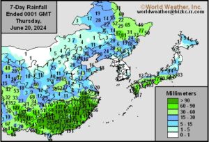
Kansas City, June 20 (World Weather Inc.) – Spotty rainfall was noted in portions of the North China Plain and central Yellow River Basin in recent days. The rain was too light to significantly improve the moisture profile and notable moisture deficits persist. The Chinese Meteorological Agency has the region in a significant drought. The region will again have a few opportunities for spotty rain during the coming week. The environment will remain less than favorable to poor for the coarse grains, oilseeds, cotton, and other crops without greater rain. Concern for reduced production will increase due to the ongoing dryness. Other production areas in China will receive rain on a frequent basis during the coming week. Crop development conditions will be generally favorable outside the wettest pockets in the Yangtze River Basin and southwestern China.
U.S. Upper Midwest Wet Bias To Linger Into Next Week
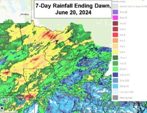
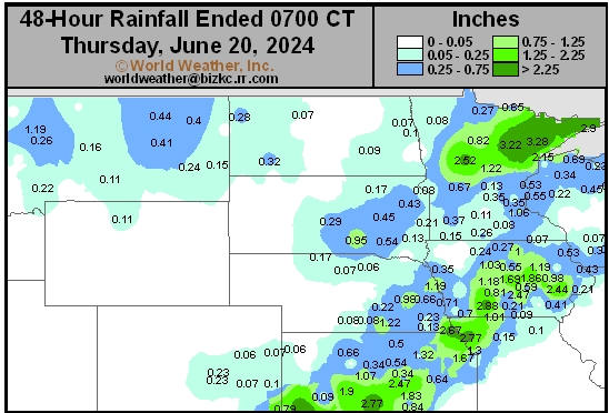
Kansas City, June 20 (World Weather Inc.) – The upper-level high-pressure ridge that brought excessive heat to eastern North America during the past several days will gradually propagate westerly during the coming week. This upper-level pattern brought several waves of rain to the Upper Midwest and bolstered soil moisture to adequate or excessive levels. While the rain was beneficial for long-term corn and soybean prospects, late-season planting and general fieldwork were delayed. Additional rain is likely into this weekend and then the precipitation will become less frequent and less significant for a while, although the region will stay abundantly to excessively wet. The lower and eastern Midwest will not be nearly as wet and dryness will continue a concern.
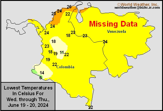
Venezuela/Colombia Min Temps
This content is for members only
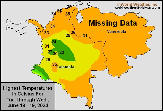
Venezuela/Colombia Max Temps
This content is for members only
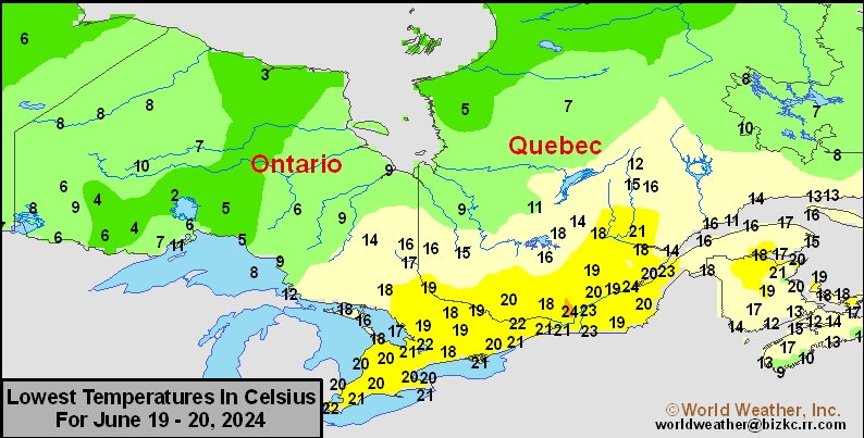
SE Canada Min
This content is for members only
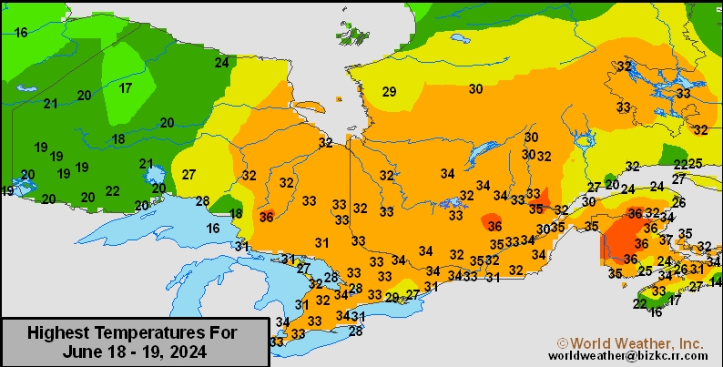
SE Canada Max
This content is for members only
SE Canada Rainfall
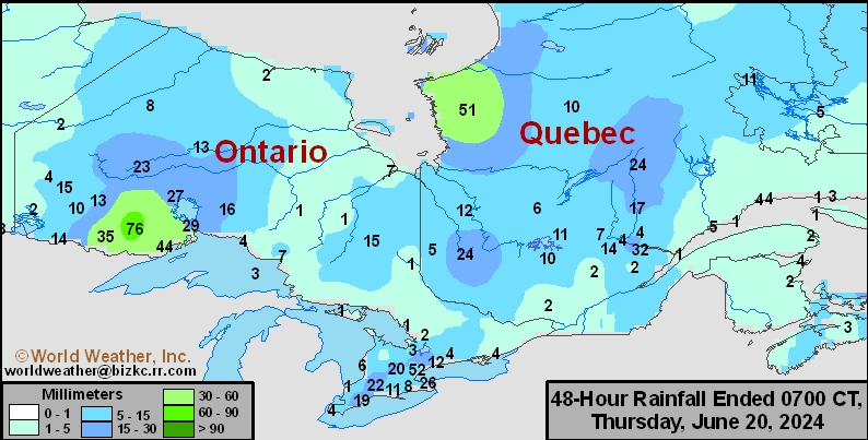
This content is for members only
Prairies Rainfall

This content is for members only
Prairies Max Temperature

This content is for members only
Prairies Min Temperature

This content is for members only
Canada Rainfall

This content is for members only
Venezuela Rainfall
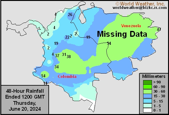
This content is for members only
Mexico Min Temperature
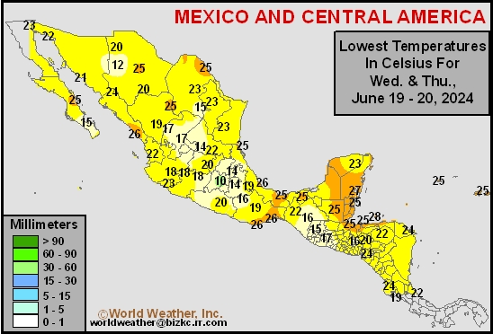
This content is for members only
Mexico Max Temperature
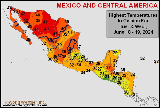
This content is for members only
Mexico Rainfall
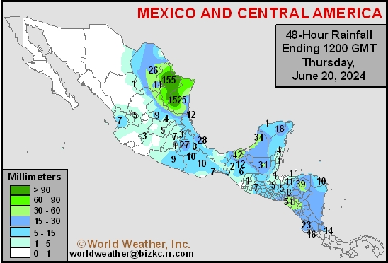
This content is for members only
Argentina Min Temperature
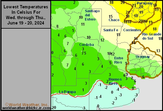
This content is for members only
Argentina Max Temperature
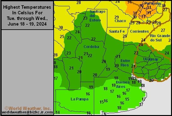
This content is for members only
Argentina Rainfall
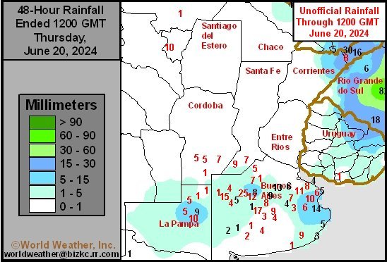
This content is for members only
Brazil Min Temperature
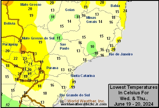
This content is for members only
Brazil Max Temperature
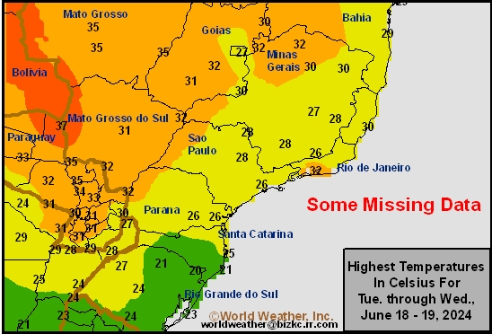
This content is for members only
Brazil Rainfall
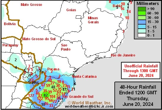
This content is for members only
Philippines Min
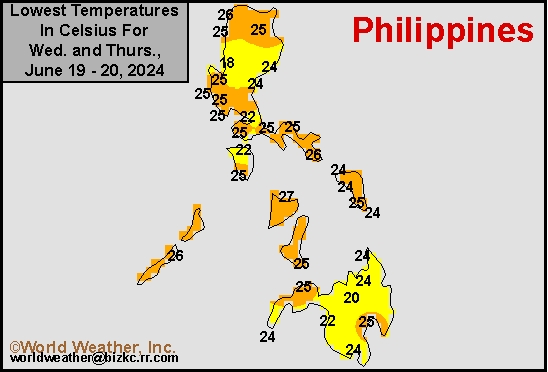
This content is for members only
Philippines Max
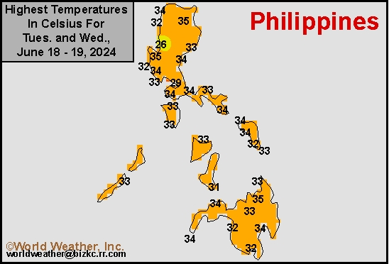
This content is for members only
Philippines Rain
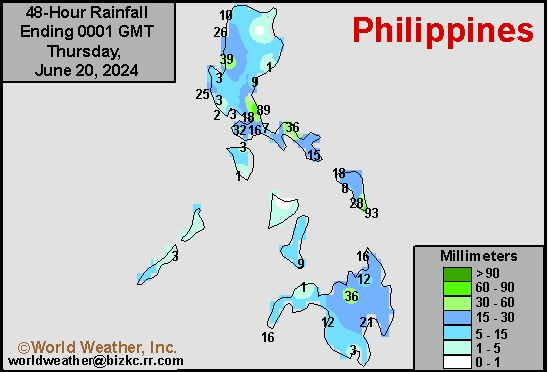
This content is for members only
Southeast North Rain
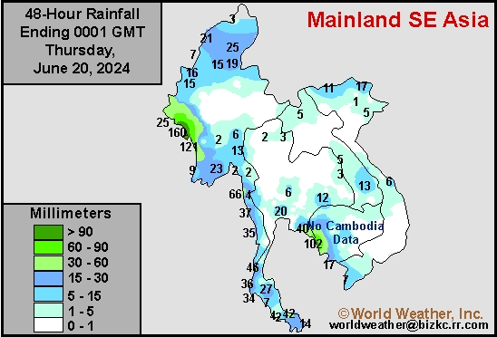
This content is for members only
Southeast North Min
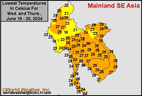
This content is for members only
Southeast North Max
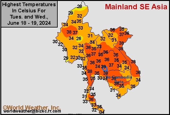
This content is for members only
Southeast Min
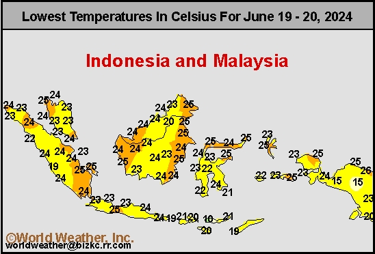
This content is for members only
Southeast Max
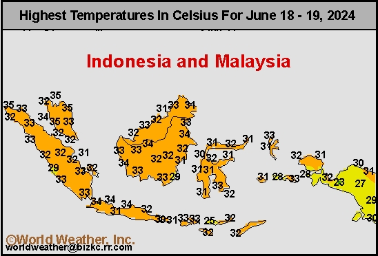
This content is for members only
Southeast Rain
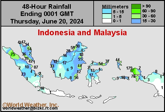
This content is for members only
West Africa Rain
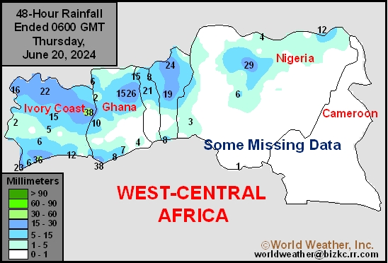
This content is for members only
Max Temperature
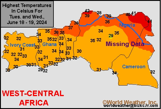
This content is for members only
Min Temperature
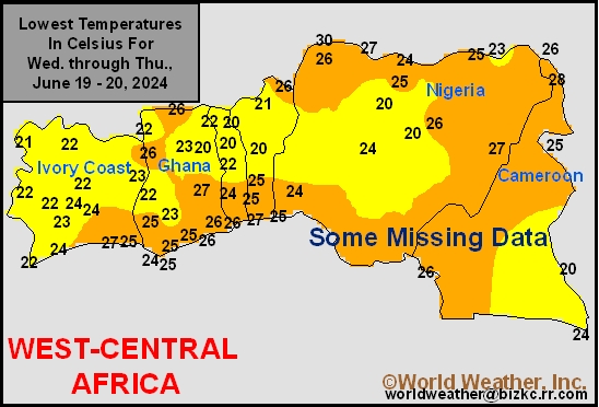
This content is for members only
North Africa Rain
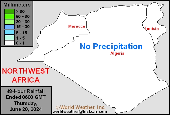
This content is for members only
Max Temperature
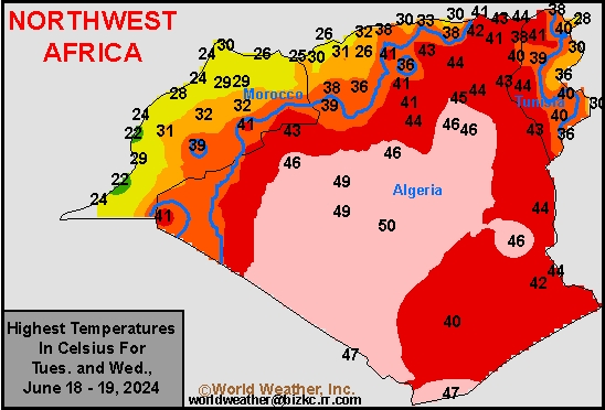
This content is for members only
Min Temperature
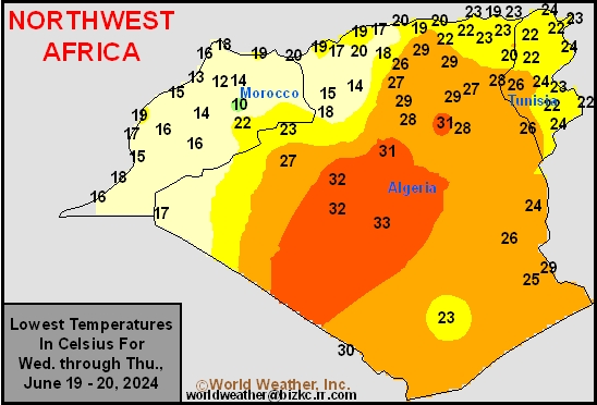
This content is for members only
Min Temperature
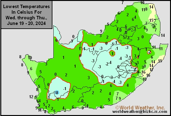
This content is for members only
Max Temperature
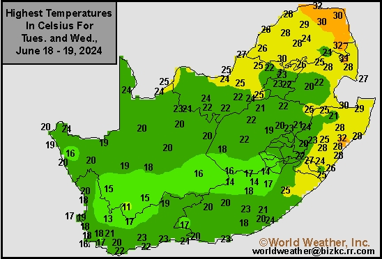
This content is for members only
South Africa Rain
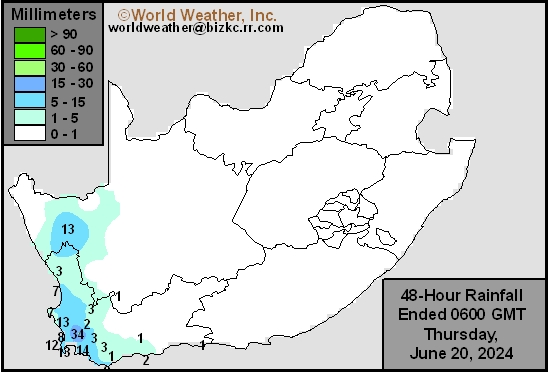
This content is for members only
Hard Red Wheat Tmin
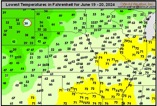
This content is for members only
Northeast Tmin
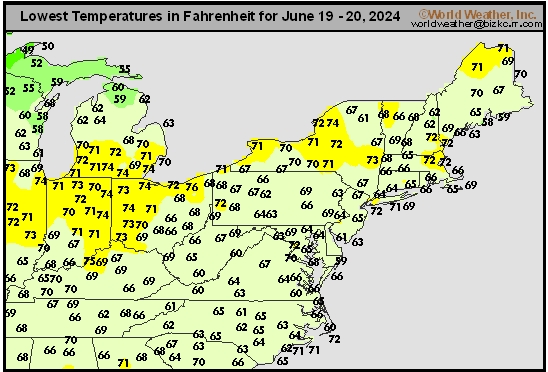
This content is for members only
Southwest Tmin
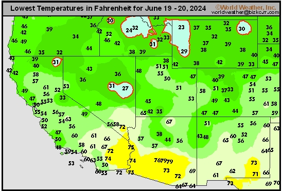
This content is for members only
Northwest Tmin
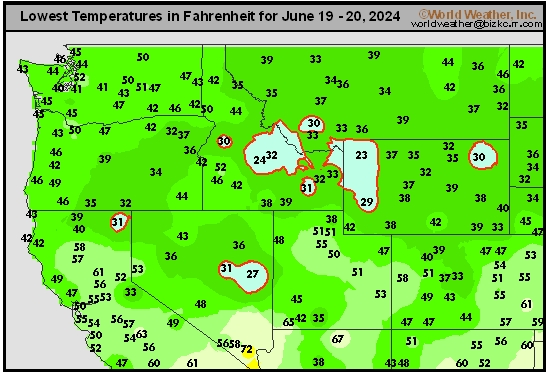
This content is for members only
South Plains Tmin
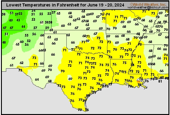
This content is for members only
Delta/SE U.S. Tmin
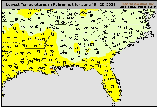
This content is for members only
Corn Belt Tmin
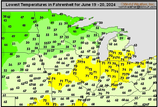
This content is for members only
US Min

This content is for members only
North Plains Tmin
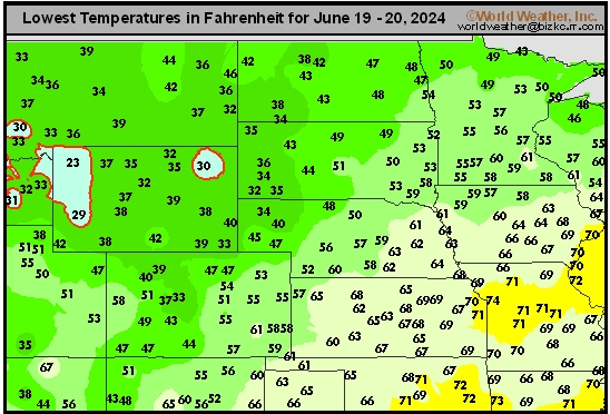
This content is for members only
Hard Red Wheat Tmax
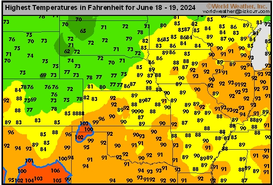
This content is for members only
Northeast Tmax
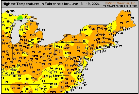
This content is for members only
Southwest Tmax
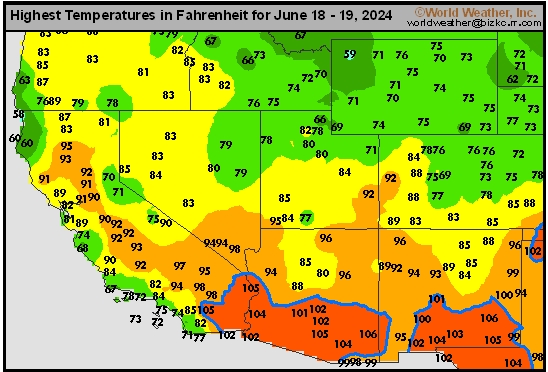
This content is for members only
Northwest Tmax
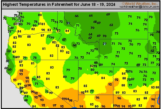
This content is for members only
South Plains Tmax
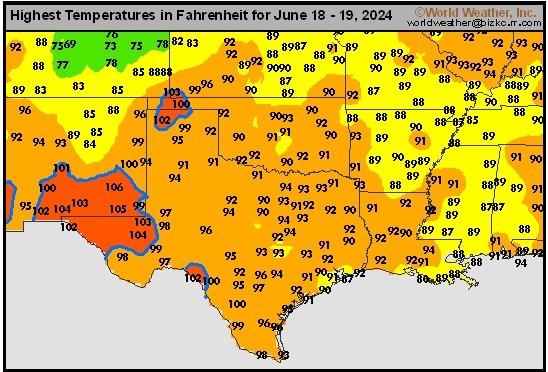
This content is for members only
Delta/SE U.S. Tmax
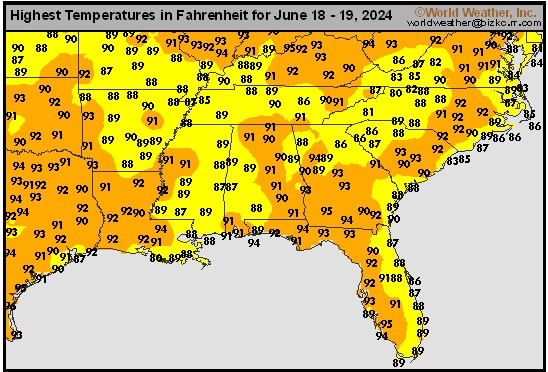
This content is for members only
Corn Belt Tmax
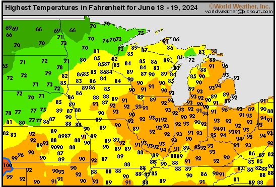
This content is for members only
North Plains Tmax
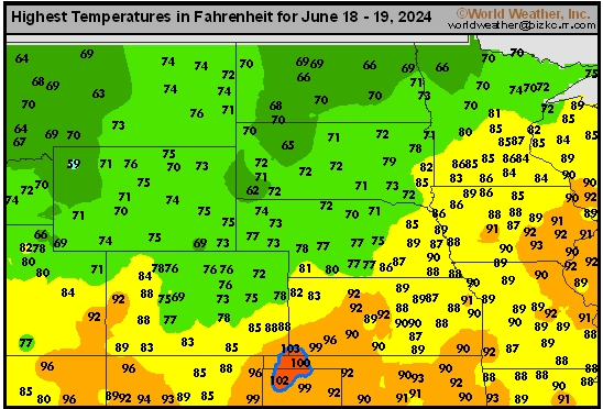
This content is for members only
US Max

This content is for members only
US Rain

This content is for members only
Northeast Daily Rain
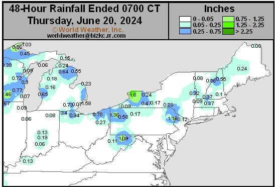
This content is for members only
Hard Red Wheat Daily Rain
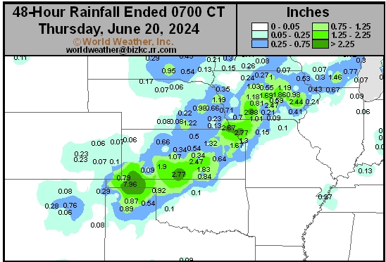
This content is for members only
Southwest Daily Rain
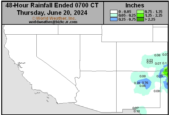
This content is for members only
Northwest Daily Rain
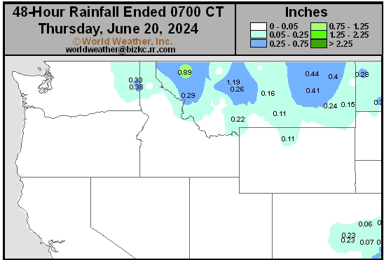
This content is for members only
South Plains Daily Rain
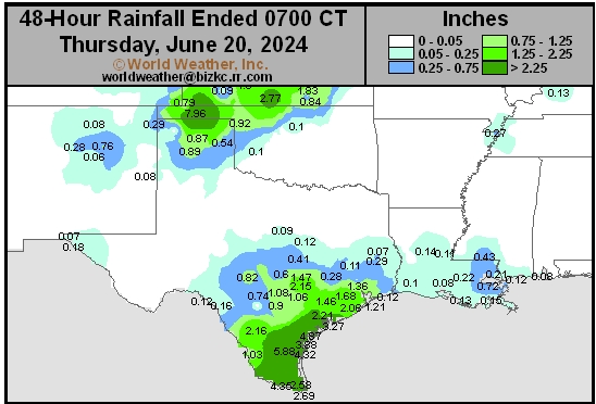
This content is for members only
Delta/SE U.S. Daily Rain
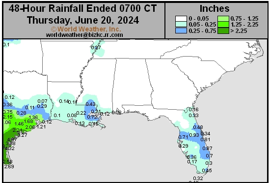
This content is for members only
Corn Belt Daily Rain
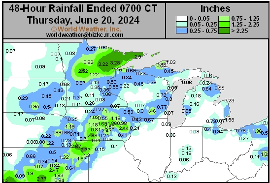
This content is for members only
North Plains Daily Rain
This content is for members only
Low Temperature
This content is for members only
High Temperature
This content is for members only
CIS Rainfall
This content is for members only