
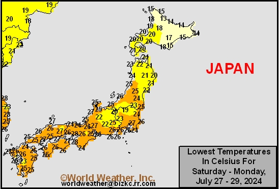
Low Temperature
This content is for members only
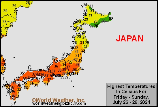
High Temperature
This content is for members only
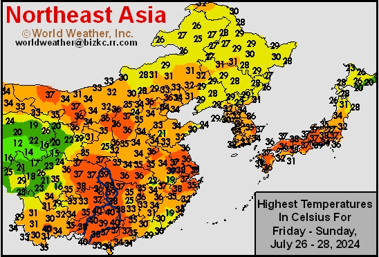
High Temperature
This content is for members only
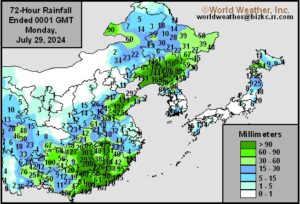
China Rainfall
This content is for members only
Low Temperature
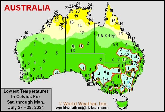
This content is for members only
High Temperature
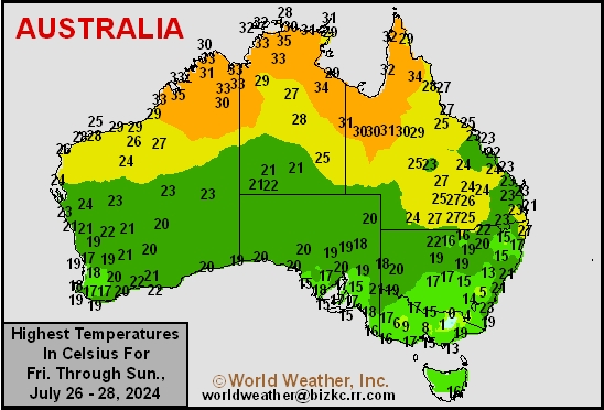
This content is for members only
Austrailia Rainfall
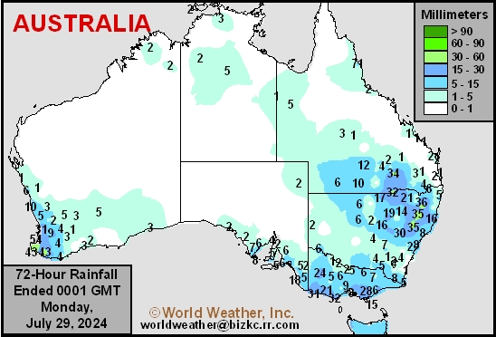
This content is for members only
Typhoon Gaemi Remnants Promoted Weekend Flooding In China
Kansas City, July 29 (World Weather Inc.) – After lashing Taiwan with torrential rain and damaging winds late last week, Typhoon Gaemi slowly weakened while tracking across China over the weekend. Remnants of Gaemi were still able to generate heavy rain for portions of Hunan, Jiangxi, Guangdong, and neighboring locations that promoted some flooding. Many areas in Liaoning, southern Jilin, and Shandong also received enough rain in recent days to potentially flood some crop areas. Some damage to crops and property may have resulted, although the losses to agriculture may not be very extensive. Additional waves of significant rain are again slated for Liaoning, Jilin, Hebei, and neighboring locations in the coming days that may again promote flooding and could bring on some additional damage to crops and property in the region
Returning 45-Day Pattern To Keep North America Ridge West
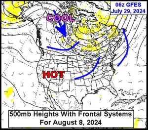
Kansas City, July 29 (World Weather Inc.) – Weekend computer weather forecast models suddenly returned cooler than usual air to the central parts of North America during the second week of August. This is assumed to be the debut of the returning 45-day cool cycle that World Weather, Inc. has been tracking since last October. The cooler air will not last as long as it has in the past because it is the middle of summer and there is plenty of heat in portions of North America to moderate the shots of coolness. However, what the pattern is likely to do is to help keep the North America ridge of high pressure over the west and reduces the potential for the ridge to come into the heart of the Midwest for any great length of time.
U.S. Midwest Rain Will Maintain Good Corn, Soybean Conditions
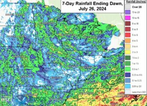
Kansas City, July 26 (World Weather Inc.) – Rain was erratically distributed across the U.S Midwest during the past week. Several locations in Indiana, southern Illinois, northwestern Ohio, and neighboring locations were dry or received limited rainfall. Other locations received enough rain to limit drying. Corn and soybean conditions remain relatively good, even in areas that were mostly dry in recent days. A high-pressure ridge will meander over central North America through the end of next week and will limit rainfall for eastern Nebraska, western Iowa, and southeastern South Dakota. These areas will dry down significantly and the need for rain will increase. Disturbances will otherwise promote erratic rainfall for the remaining production areas that will help keep soil moisture near current levels. Corn and soybean conditions should remain relatively good.
Canadian Prairies Update; Moisture Stress Reducing Yield
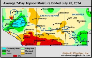
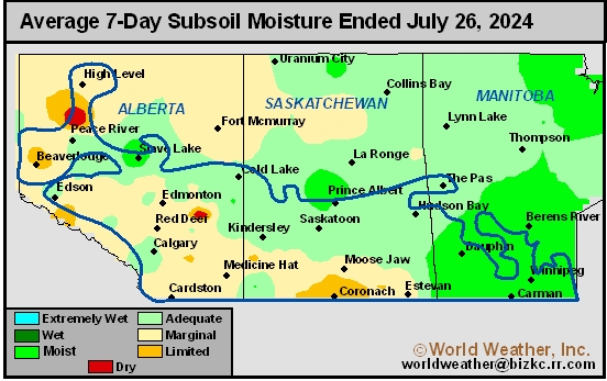
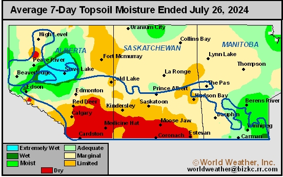
Kansas City, July 26 (World Weather Inc.) – Another week of limited rain and periods of warm weather promoted aggressive drying across the heart of the Canadian Prairies. The environment has either become or has been stressful for many crops, most notably the driest locations of Alberta and Saskatchewan. Yield losses are likely, but it is still unclear how significant that may be given the various stages of crop development and change soil conditions from one area to another. Central and southern Alberta into much of Saskatchewan and eastern Manitoba will remain drier biased for at least another ten days. Temperatures will be relatively mild during the next few days before warmer air returns to portions of the Prairies next week. Crop conditions will further deteriorate leading to more areas of possible reduced production.
Venezuela/Colombia Min Temps
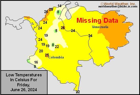
This content is for members only
Venezuela/Colombia Max Temps
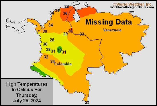
This content is for members only
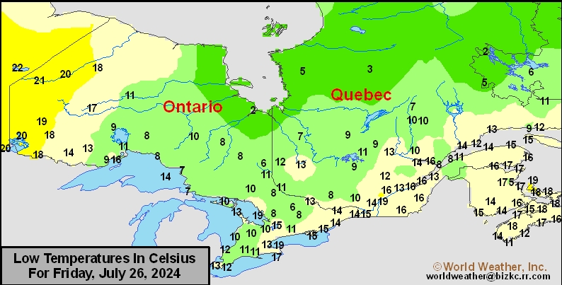
SE Canada Min
This content is for members only
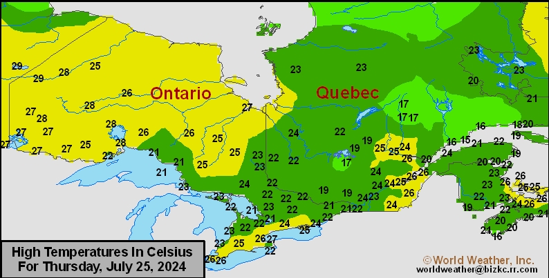
SE Canada Max
This content is for members only
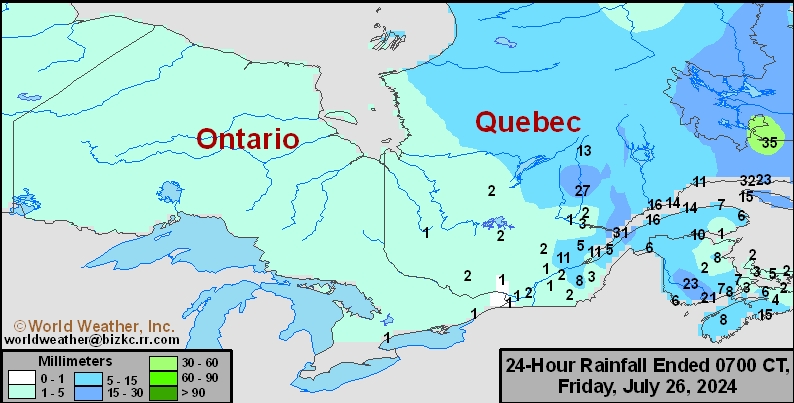
SE Canada Rainfall
This content is for members only
Prairies Rainfall

This content is for members only
Prairies Max Temperature

This content is for members only
Prairies Min Temperature

This content is for members only
Canada Rainfall

This content is for members only
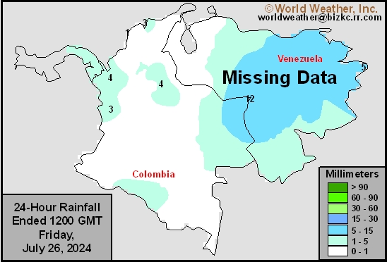
Venezuela Rainfall
This content is for members only
Mexico Min Temperature
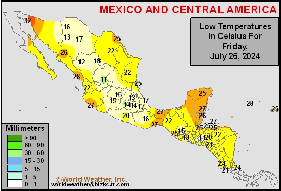
This content is for members only
Mexico Max Temperature
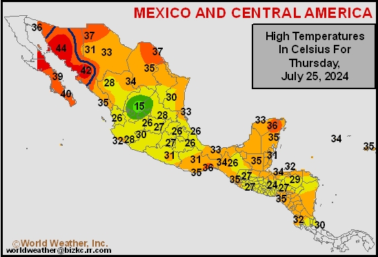
This content is for members only
Mexico Rainfall
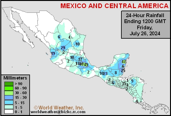
This content is for members only
Argentina Min Temperature
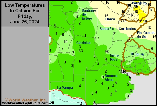
This content is for members only
Argentina Max Temperature
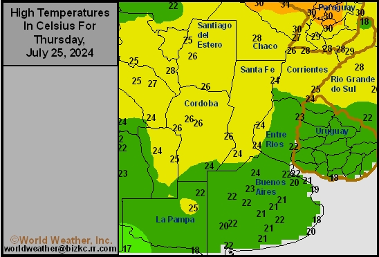
This content is for members only
Argentina Rainfall
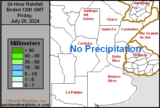
This content is for members only
Brazil Min Temperature
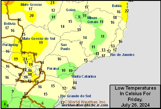
This content is for members only
Brazil Max Temperature
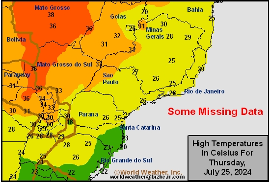
This content is for members only
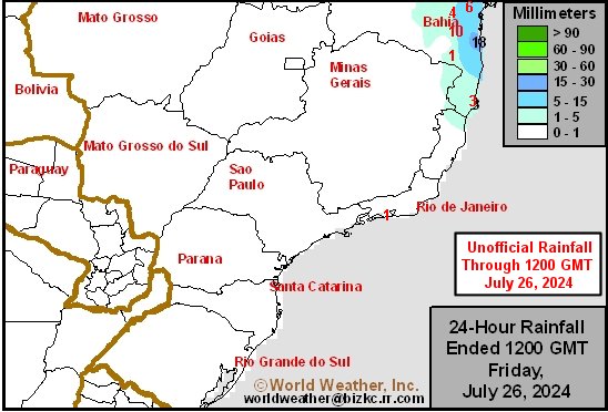
Brazil Rainfall
This content is for members only
Subsoil Moisture

This content is for members only
Topsoil Moisture

This content is for members only
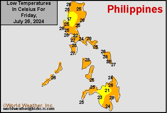
Philippines Min
This content is for members only
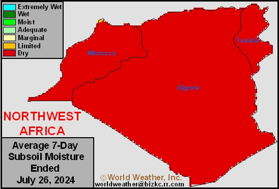
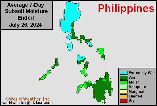
Subsoil Moisture
This content is for members only
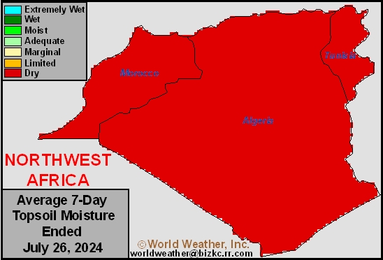
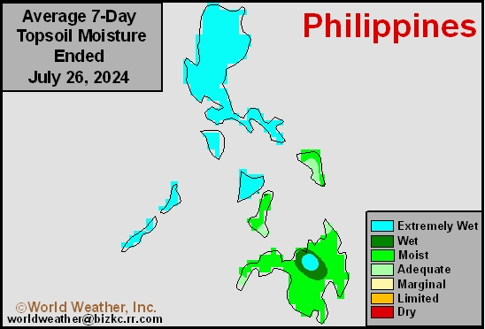
Topsoil Moisture
This content is for members only
Philippines Max
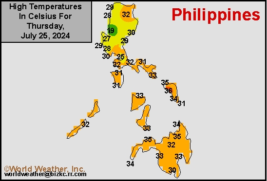
This content is for members only
Subsoil Moisture
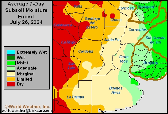
This content is for members only
Topsoil Moisture
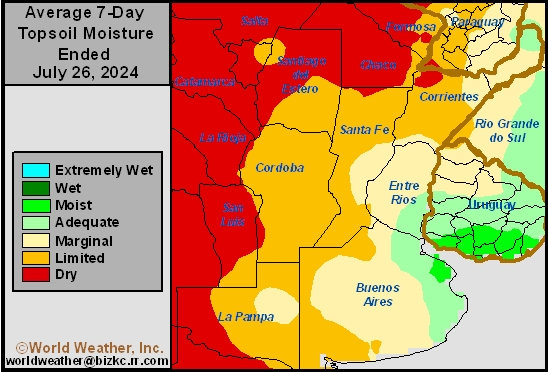
This content is for members only
Philippines Rain
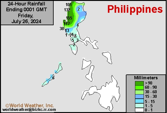
This content is for members only
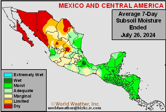
Subsoil Moisture
This content is for members only
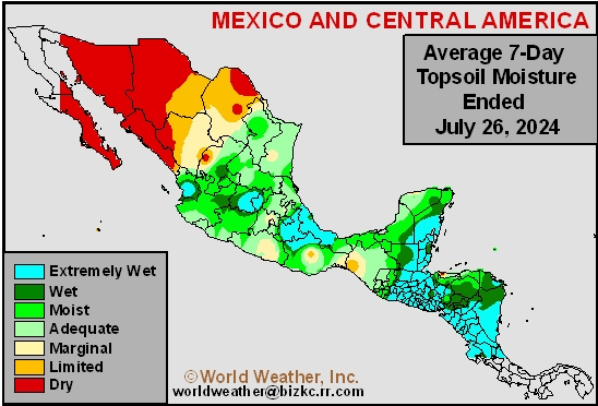
Topsoil Moisture
This content is for members only
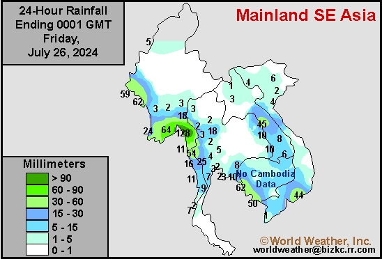
Southeast North Rain
This content is for members only
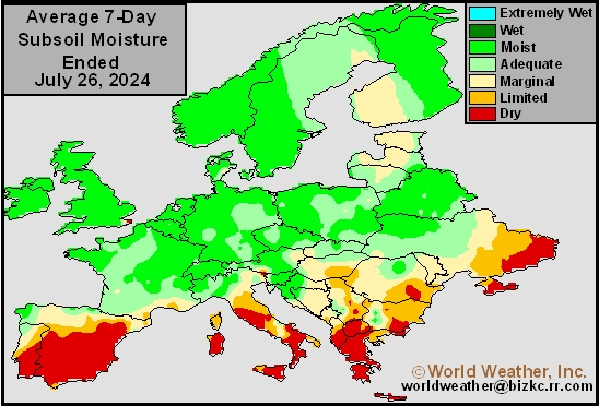
Subsoil Moisture
This content is for members only
Topsoil Moisture
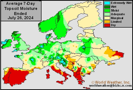
This content is for members only
Southeast North Min
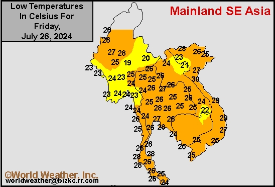
This content is for members only
Subsoil Moisture
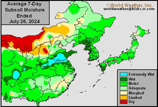
This content is for members only
Topsoil Moisture
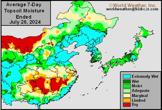
This content is for members only
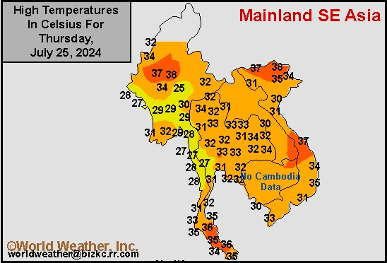
Southeast North Max
This content is for members only
Subsoil Moisture
This content is for members only
Topsoil Moisture
This content is for members only
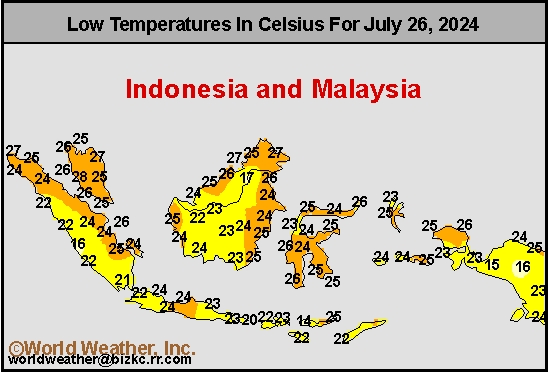
Southeast Min
This content is for members only
Subsoil Moisture

This content is for members only
Topsoil Moisture

This content is for members only
Southeast Max
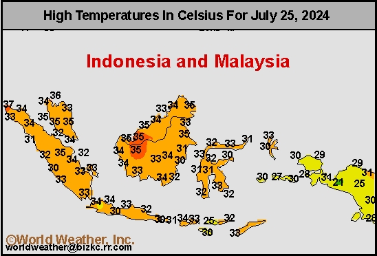
This content is for members only
Subsoil Moisture
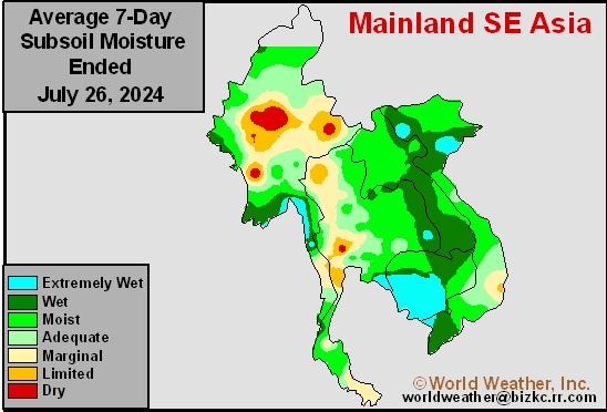
This content is for members only
Topsoil Moisture
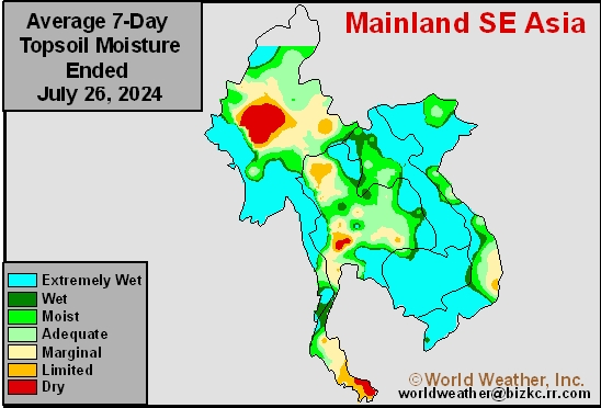
This content is for members only
Subsoil Moisture
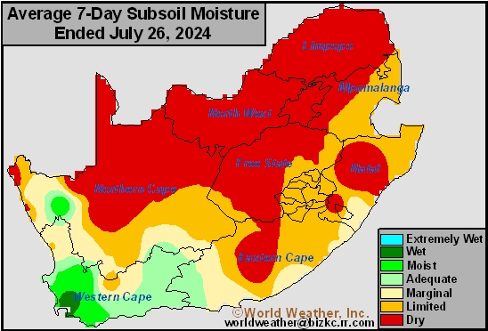
This content is for members only
Topsoil Moisture
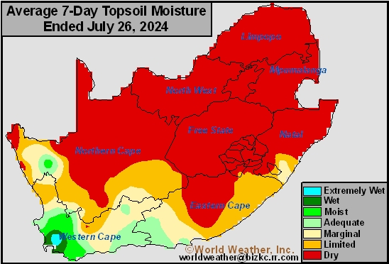
This content is for members only
Southeast Rain
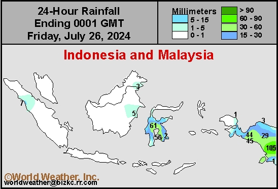
This content is for members only
Subsoil Moisture
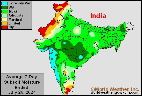
This content is for members only
Topsoil Moisture
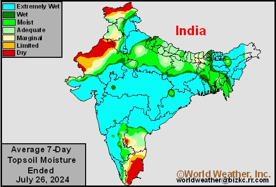
This content is for members only
West Africa Rain
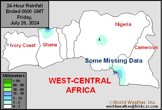
This content is for members only
Subsoil Moisture
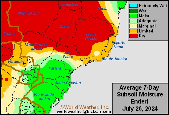
This content is for members only
Topsoil Moisture
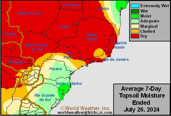
This content is for members only
Max Temperature
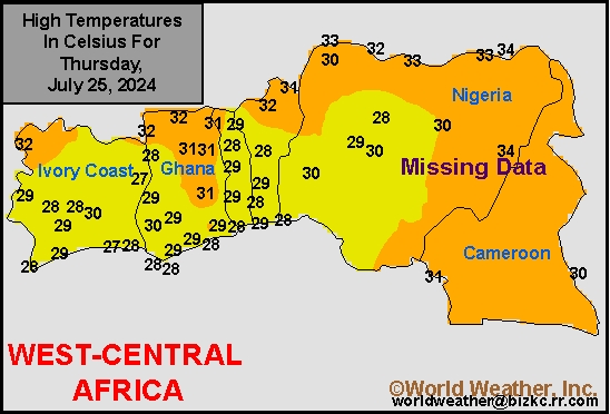
This content is for members only
Subsoil Moisture
This content is for members only
Topsoil Moisture
This content is for members only
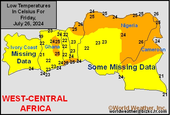
Min Temperature
This content is for members only
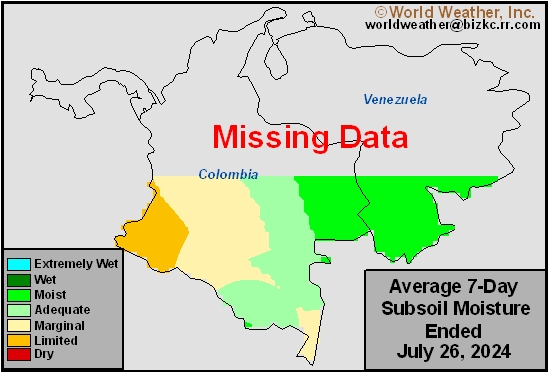
Subsoil Moisture
This content is for members only
Topsoil Moisture
This content is for members only
North Africa Rain
This content is for members only
Subsoil Moisture
This content is for members only
Topsoil Moisture
This content is for members only
Subsoil Moisture
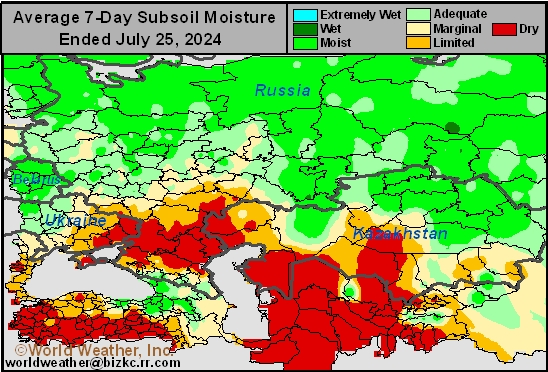
This content is for members only
Topsoil Moisture
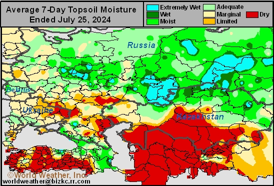
This content is for members only
Max Temperature
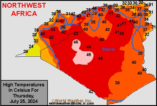
This content is for members only
Subsoil Moisture

This content is for members only
Topsoil Moisture

This content is for members only
Min Temperature
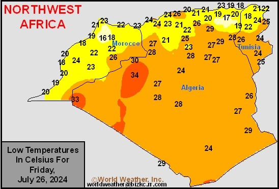
This content is for members only
Topsoil Moisture
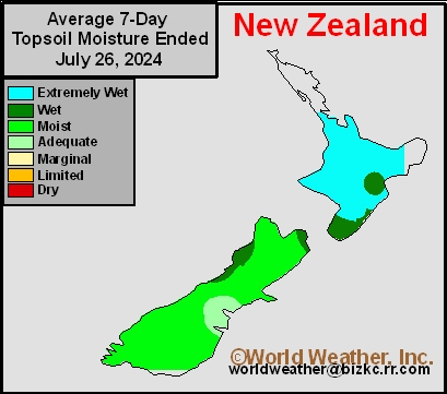
This content is for members only
Subsoil Moisture
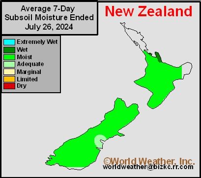
This content is for members only
Min Temperature
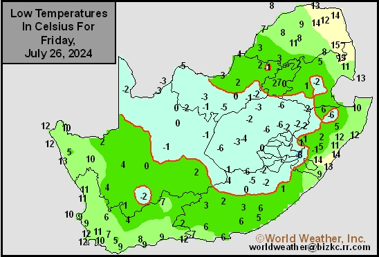
This content is for members only
Subsoil Moisture
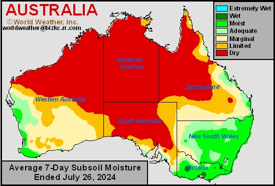
This content is for members only
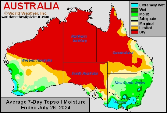
Topsoil Moisture
This content is for members only
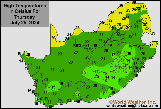
Max Temperature
This content is for members only
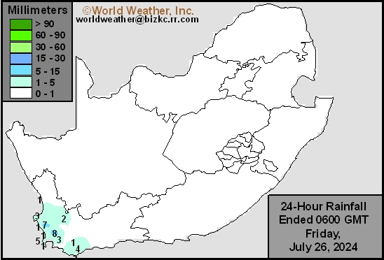
South Africa Rain
This content is for members only
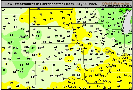
Hard Red Wheat Tmin
This content is for members only
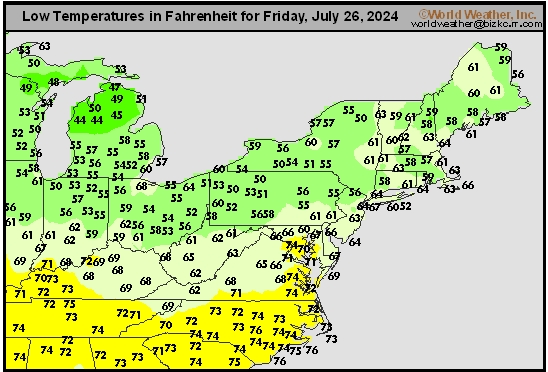
Northeast Tmin
This content is for members only
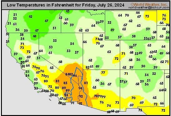
Southwest Tmin
This content is for members only
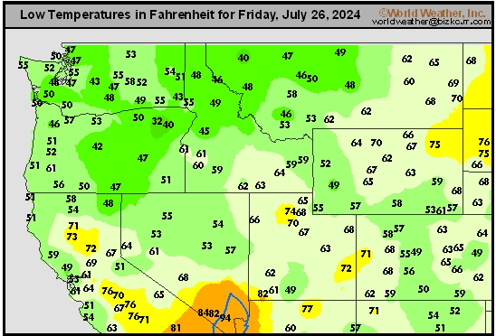
Northwest Tmin
This content is for members only
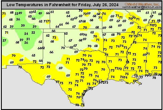
South Plains Tmin
This content is for members only
Delta/SE U.S. Tmin
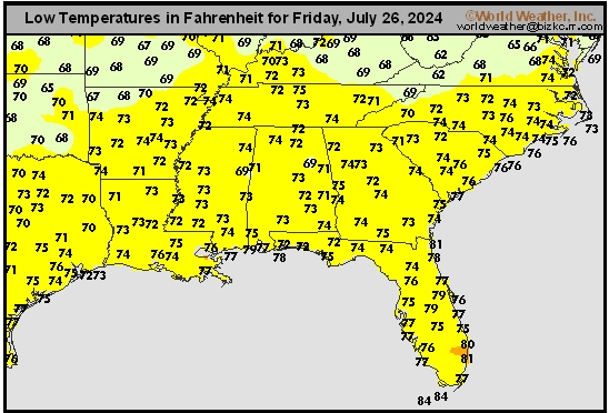
This content is for members only
Corn Belt Tmin
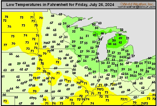
This content is for members only
US Min

This content is for members only
North Plains Tmin
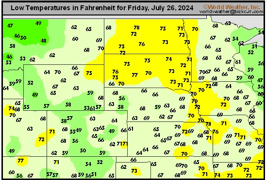
This content is for members only
Hard Red Wheat Tmax
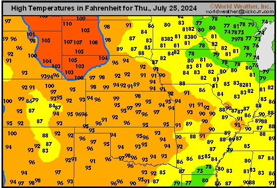
This content is for members only
Northeast Tmax
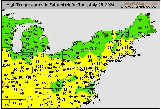
This content is for members only
Southwest Tmax
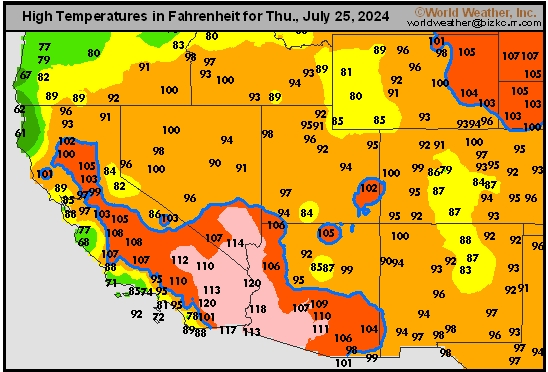
This content is for members only
Northwest Tmax
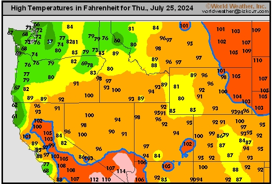
This content is for members only
South Plains Tmax
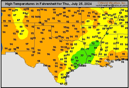
This content is for members only