
Topsoil Moisture
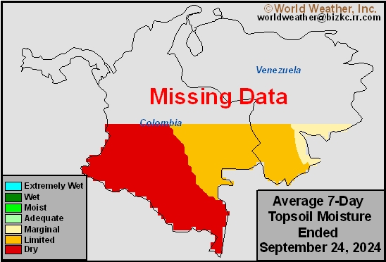
This content is for members only
Subsoil Moisture
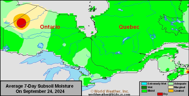
This content is for members only
Topsoil Moisture
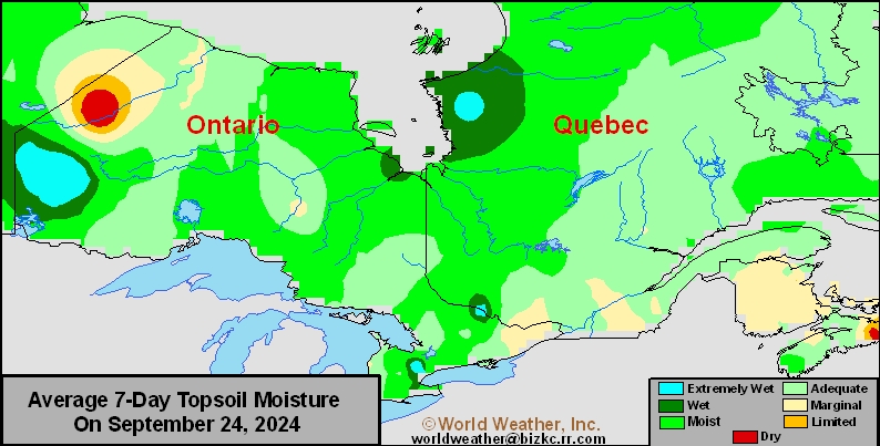
This content is for members only
Subsoil Moisture
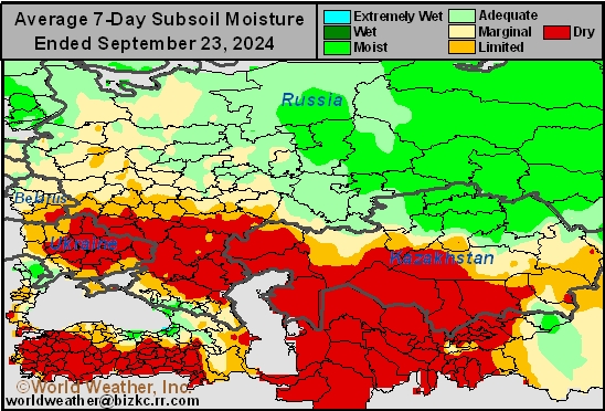
This content is for members only
Topsoil Moisture
This content is for members only
Subsoil Moisture

This content is for members only
Topsoil Moisture

This content is for members only
Topsoil Moisture
This content is for members only
Subsoil Moisture
This content is for members only
Subsoil Moisture
This content is for members only
Topsoil Moisture
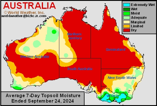
This content is for members only
Weekly Citrus Weather For Tuesday, September 24, 2024
Kansas City, September 24 (World Weather Inc.) – Florida citrus conditions remain favorable due to rain and warm weather during the past week. Tropical Storm Helene will rapidly advance across the Gulf of Mexico tonight and Wednesday while intensifying rapidly. Landfall is expected in the northern Apalachee Bay area of Florida. A direct hit on citrus country is not expected, though some rain will spread across the main production areas. Localized flooding will be the main concern near the Gulf of Mexico coast, though citrus impacts should be minimal. In Mexico, Tropical Storm John will meander along the western Mexico coastline during the next several days. Torrential rain is slated for southern Oaxaca, southeastern Guerrero and neighboring locations with upwards of 30.00 inches of rain possible. Flooding will be the primary issue and most citrus trees will not be impacted by the excessive moisture. Brazil’s citrus areas will remain hot and dry in the coming week. The heat may hurt citrus flowers.
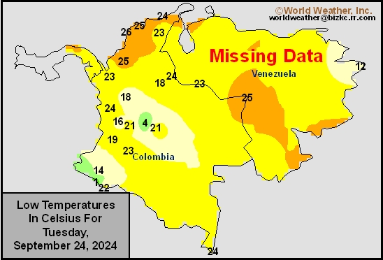
Venezuela/Colombia Min Temps
This content is for members only
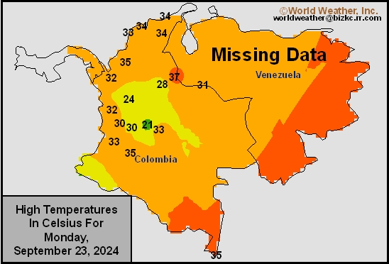
Venezuela/Colombia Max Temps
This content is for members only
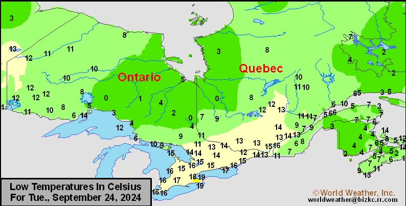
SE Canada Min
This content is for members only
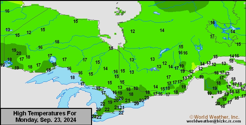
SE Canada Max
This content is for members only
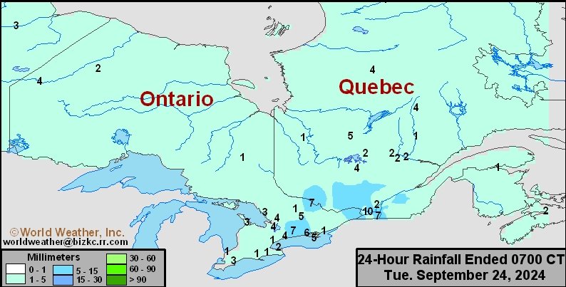
SE Canada Rainfall
This content is for members only
Prairies Rainfall

This content is for members only
Prairies Max Temperature

This content is for members only
Prairies Min Temperature

This content is for members only
Canada Rainfall

This content is for members only
Venezuela Rainfall
This content is for members only
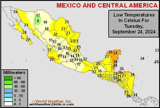
Mexico Min Temperature
This content is for members only
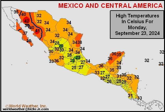
Mexico Max Temperature
This content is for members only
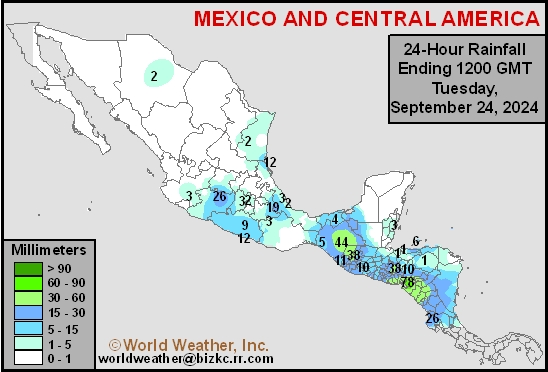
Mexico Rainfall
This content is for members only
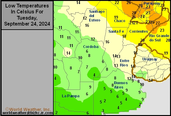
Argentina Min Temperature
This content is for members only
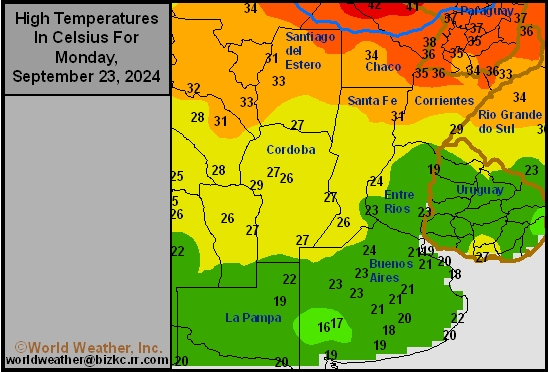
Argentina Max Temperature
This content is for members only
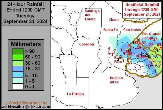
Argentina Rainfall
This content is for members only
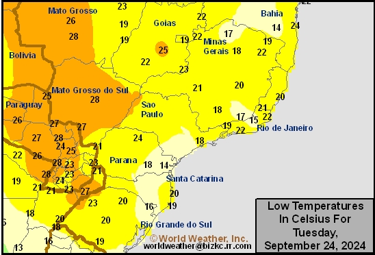
Brazil Min Temperature
This content is for members only
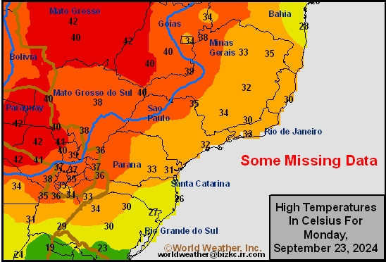
Brazil Max Temperature
This content is for members only
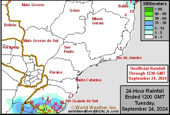
Brazil Rainfall
This content is for members only
Philippines Min
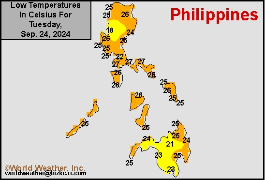
This content is for members only
Philippines Max
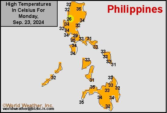
This content is for members only
Philippines Rain
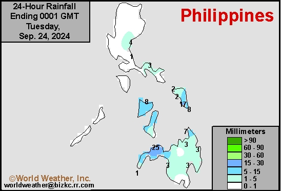
This content is for members only
Southeast North Rain
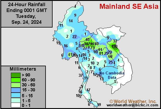
This content is for members only
Southeast North Min
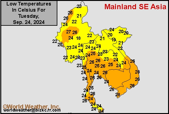
This content is for members only
Southeast North Max
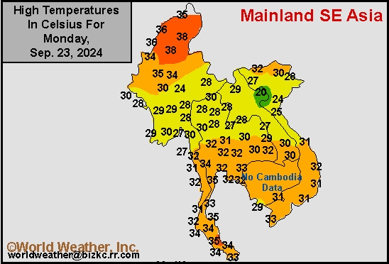
This content is for members only
Southeast Min
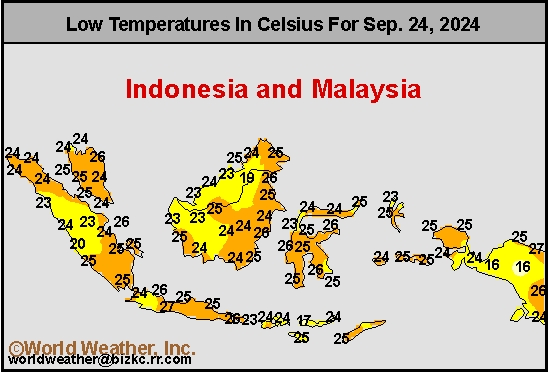
This content is for members only
Southeast Max
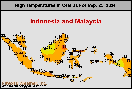
This content is for members only
Southeast Rain
This content is for members only
West Africa Rain
This content is for members only
Max Temperature
This content is for members only
Min Temperature
This content is for members only
North Africa Rain
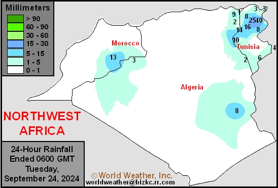
This content is for members only
Max Temperature
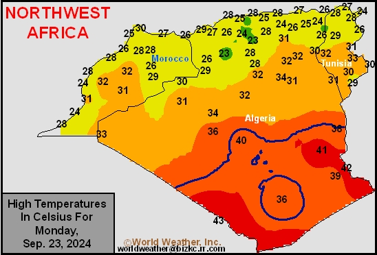
This content is for members only
Min Temperature
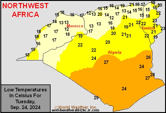
This content is for members only
Min Temperature
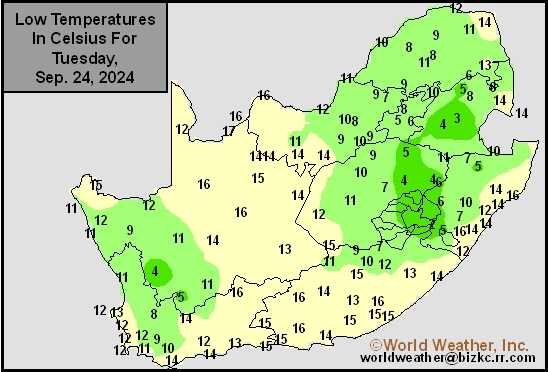
This content is for members only
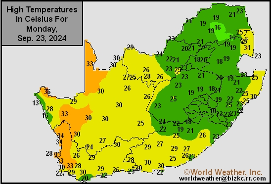
Max Temperature
This content is for members only
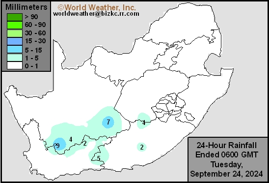
South Africa Rain
This content is for members only
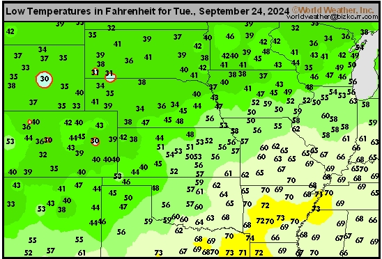
Hard Red Wheat Tmin
This content is for members only
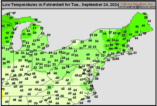
Northeast Tmin
This content is for members only
Southwest Tmin
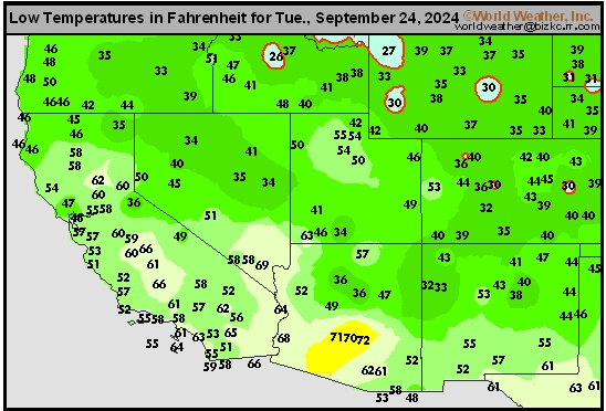
This content is for members only
Northwest Tmin
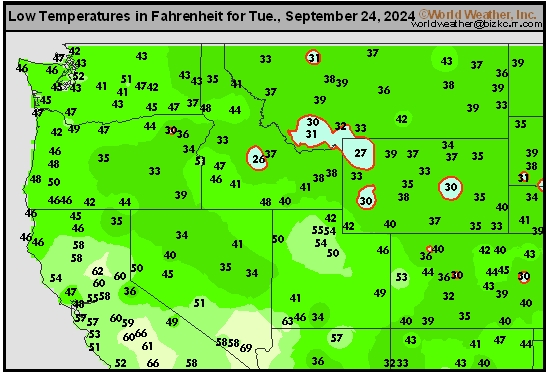
This content is for members only
South Plains Tmin
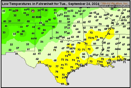
This content is for members only
Delta/SE U.S. Tmin
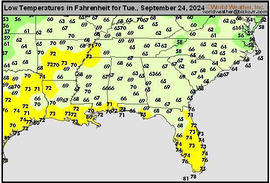
This content is for members only
Corn Belt Tmin
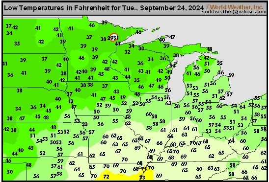
This content is for members only
US Min

This content is for members only
North Plains Tmin
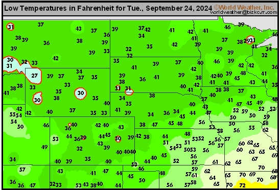
This content is for members only
Hard Red Wheat Tmax
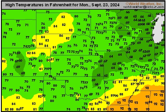
This content is for members only
Northeast Tmax
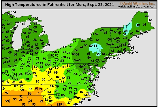
This content is for members only
Southwest Tmax
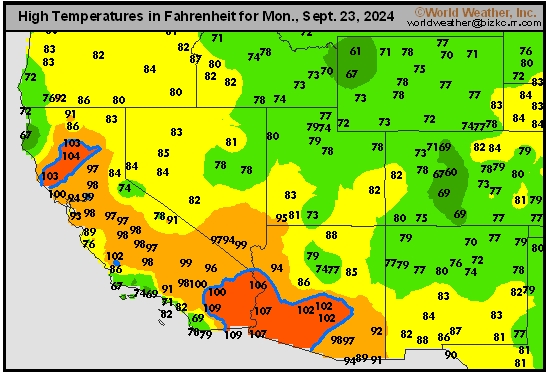
This content is for members only
Northwest Tmax
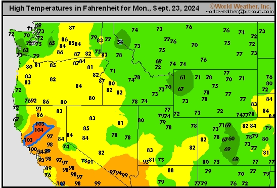
This content is for members only
South Plains Tmax
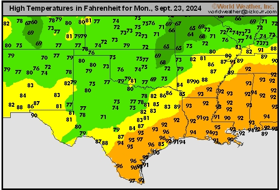
This content is for members only
Delta/SE U.S. Tmax
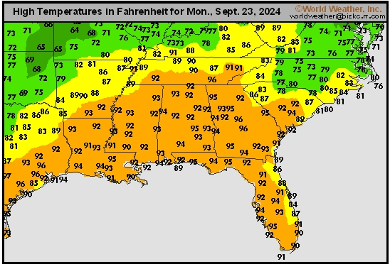
This content is for members only
Corn Belt Tmax
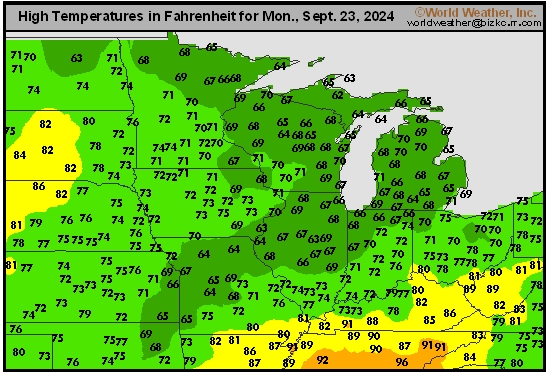
This content is for members only
North Plains Tmax
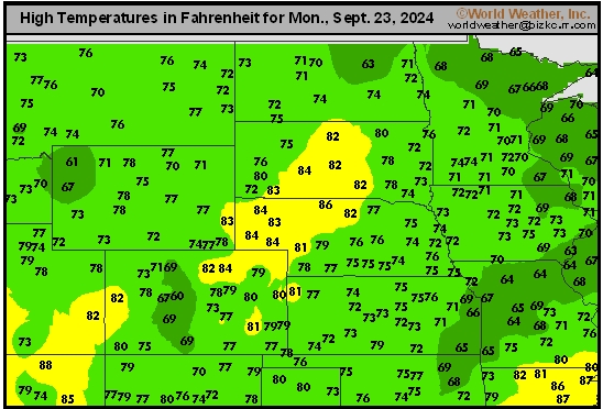
This content is for members only
US Max

This content is for members only
US Rain

This content is for members only
Northeast Daily Rain
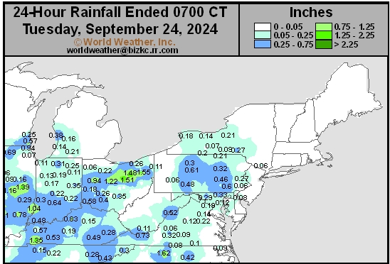
This content is for members only
Hard Red Wheat Daily Rain
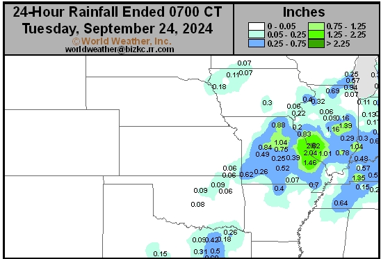
This content is for members only
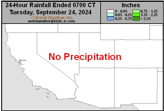
Southwest Daily Rain
This content is for members only
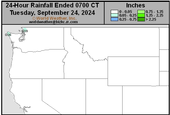
Northwest Daily Rain
This content is for members only
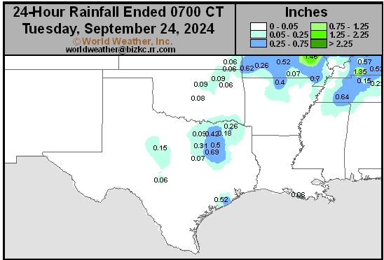
South Plains Daily Rain
This content is for members only
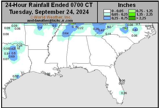
Delta/SE U.S. Daily Rain
This content is for members only
Corn Belt Daily Rain
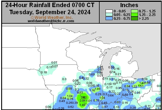
This content is for members only
North Plains Daily Rain
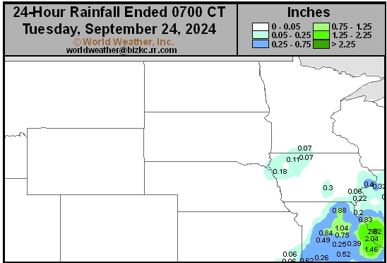
This content is for members only
Low Temperature
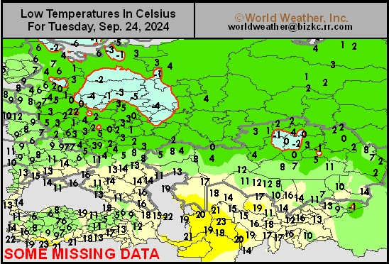
This content is for members only
High Temperature
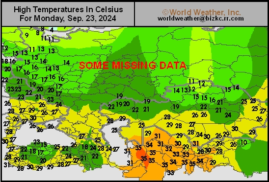
This content is for members only
CIS Rainfall
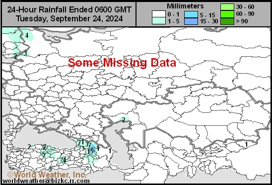
This content is for members only
Low Temperature
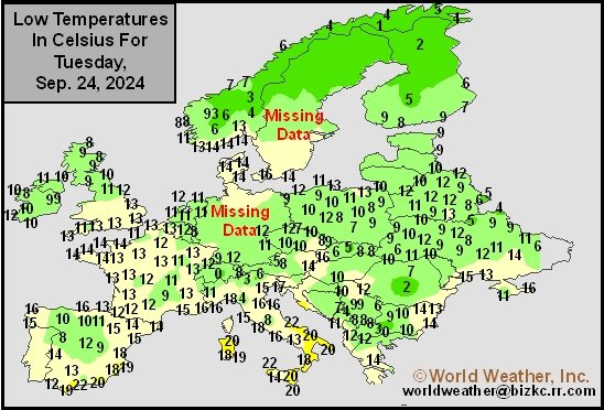
This content is for members only
High Temperature
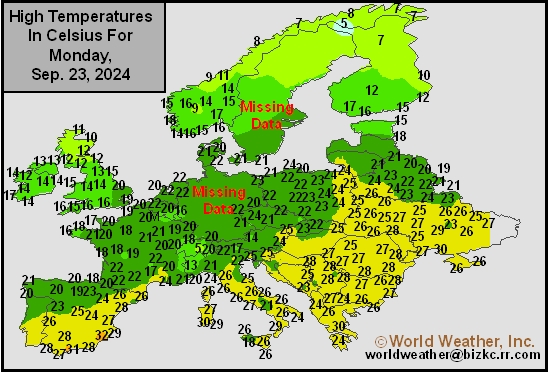
This content is for members only
Europe Rainfall
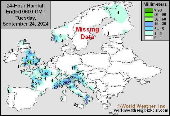
This content is for members only
Low Temperature
This content is for members only
High Temperature
This content is for members only
New Zealand Rainfall
This content is for members only
Low Temperature
This content is for members only
High Temperature
This content is for members only
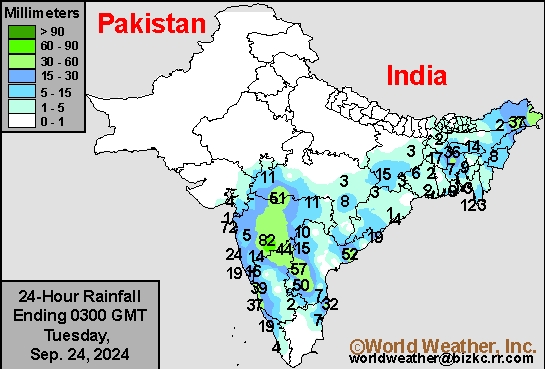
India Rainfall
This content is for members only
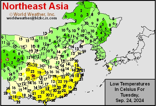
Low Temperature
This content is for members only
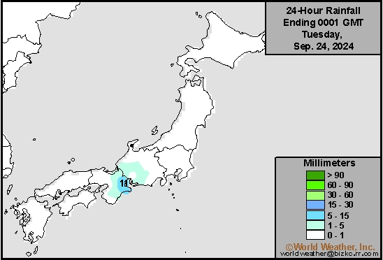
Japan Rainfall
This content is for members only
Low Temperature
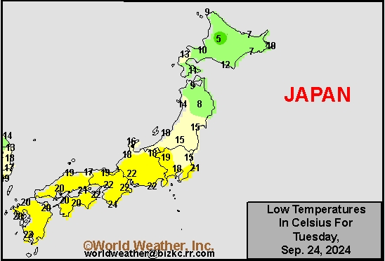
This content is for members only
High Temperature
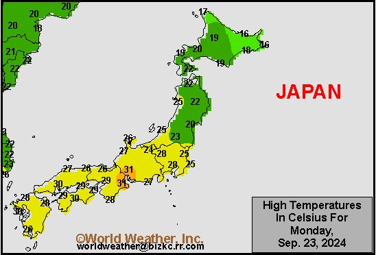
This content is for members only
High Temperature
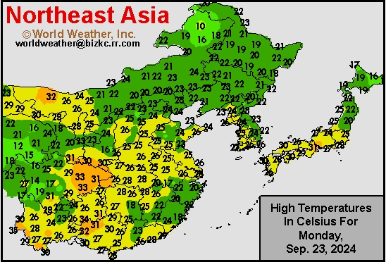
This content is for members only
China Rainfall
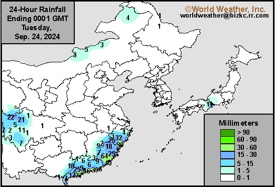
This content is for members only
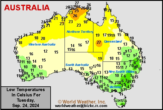
Low Temperature
This content is for members only
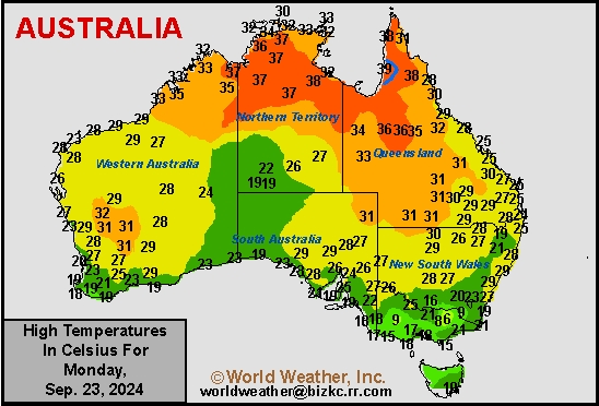
High Temperature
This content is for members only
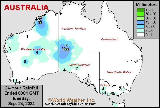
Austrailia Rainfall
This content is for members only
Southern Indonesia Rain Potentials To Increase In Coming Weeks
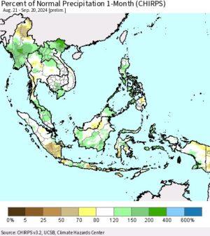
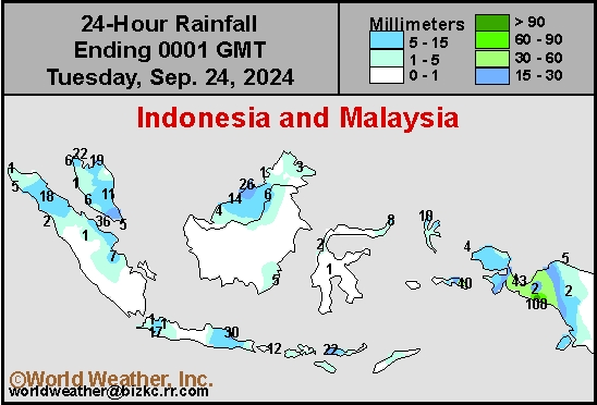
Kansas City, September 23 (World Weather Inc.) – Several areas in Indonesia; specifically portions of Java, southern Sumatra, southern Sulawesi, and portions of the Lesser Sunda Islands, have dried down more than usual in recent weeks. The drier bias has had some impact on a number of crops like sugarcane, citrus, coffee, cocoa and some grain and oilseed crops, although some areas in southern Indonesia are quite often receiving limiting rain at this time of year as the Intertropical Convergence Zone shifts far to the north during the Northern Hemisphere summer. Much of Indonesia and Malaysia will now have several opportunities for rain during the next week to ten days. The waves of rain should improve topsoil moisture in the drier areas and maintain favorable soil moisture in northern production areas where rain has continued favorable. Crops should respond well to the moisture.
Western Africa Rain Will Be Beneficial For Softs, Other Crops
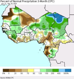
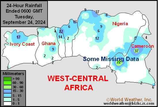
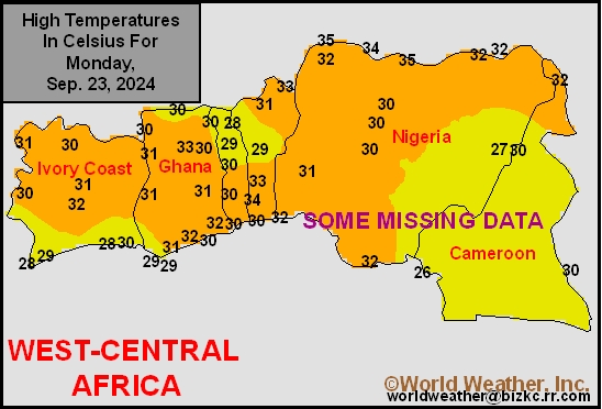
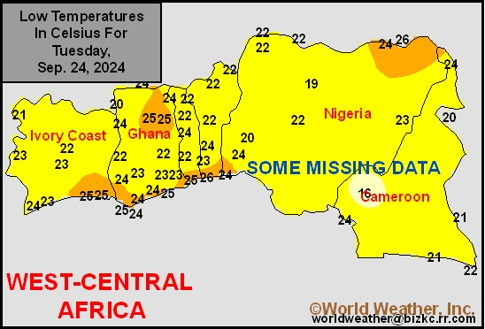
Kansas City, September 23 (World Weather Inc.) – Several locations in Ivory Coast Ghana, and Cameroon trended drier than normal in recent months. The reduced rainfall increased concerns for a lower than usual yields for cocoa, coffee, and other crops produced in these locations. With the Inter-Tropical Convergence Zone retreating southerly this time of year, western Africa’s production areas will see more frequent rainfall in the coming weeks. The precipitation will improve conditions for most crops and may reduce concerns for production losses. However, yields may trend a little lower than usual this season due to the drier weather earlier in the year.
Hurricane John To Seriously Flood Lower West Coast of Mexico
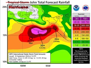
Kansas City, September 23 (World Weather Inc.) – Hurricane John is a tiny storm located 85 miles from Punta Maldonado, Mexico at mid-day today. The storm was intensifying rapidly and was expected to become a Category Three hurricane prior to landfall Tuesday in Oaxaca. Hurricane force wind was only occurring out 10 miles from the storm center and tropical storm force wind was occurring out 45 miles. This storm’s legacy will be partially to its very fast intensification and partially to the exceptional rain amounts that are likely in association with its landfall due to nearly stationary movement over multiple days. Rain totals may rise over 30 inches by the weekend.