
Subsoil Moisture
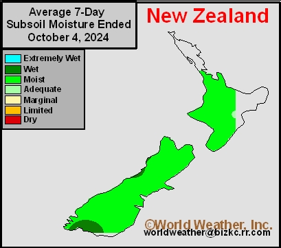
This content is for members only
Subsoil Moisture
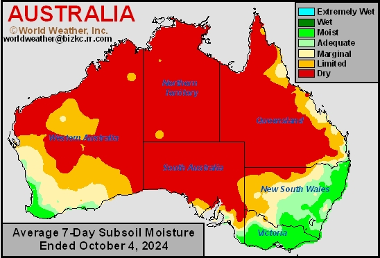
This content is for members only
Topsoil Moisture
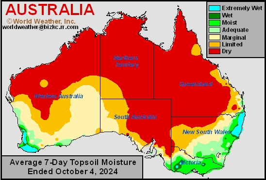
This content is for members only
Western Europe Rain To Impact Late-Season Harvest
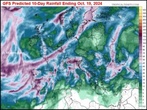
Kansas City, October 8 (World Weather Inc.) – This season’s harvest has been a struggle for some in Europe as frequent rainfall impacted fieldwork. Several areas from France and northern sections of Spain and Portugal into portions of Ukraine, Belarus, and the western Balkans region received enough rain during the past week to again impact the harvest. Production potentials are expected to trend lower than normal in Western Europe due to abundant rainfall while portions of Eastern Europe were too dry over the growing season for ideal conditions. Western Europe will again have several opportunities for rain this week that will further slow or delay late-season harvesting. Elevated winds due to remnants of Hurricane Kirk may also impact fieldwork, travel and electric power grids briefly Wednesday into Thursday. Eastern Europe will experience more favorable conditions for late-season harvesting, but will still see periods of spotty rain
Weekly Citrus Weather For October 8, 2024
Kansas City, October 8 (World Weather Inc.) – Hurricane Milton is the main focus for Florida’s citrus region in the coming days. Polk County (Florida’s largest producer of citrus) and many other counties from Manatee, Sarasota and Hillsborough east northeast to Brevard Country may be most impacted by hurricane or tropical storm force wind speeds. Elevated winds may also impact other citrus areas. Fruit droppage and limb and tree damage are expected with some of the younger trees potentially being uprooted as well. Significant production losses will be possible, most notably in areas within 60 miles of the Interstate Highway Four. Next season’s crop could also be impacted depending on the extent of the damage. Mexico’s citrus yields will remain mostly unchanged. Brazil’s citrus region will finally receive rain that will support a better environment for flowering.
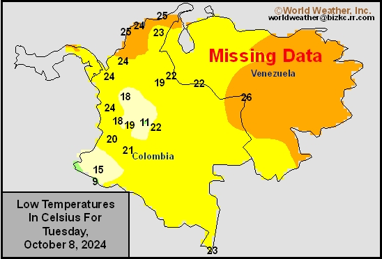
Venezuela/Colombia Min Temps
This content is for members only
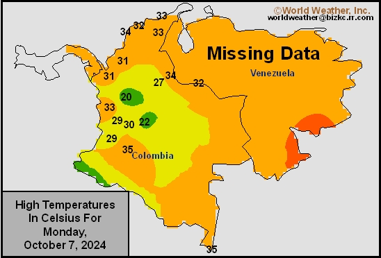
Venezuela/Colombia Max Temps
This content is for members only
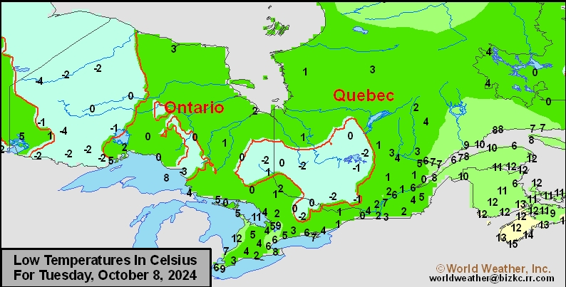
SE Canada Min
This content is for members only
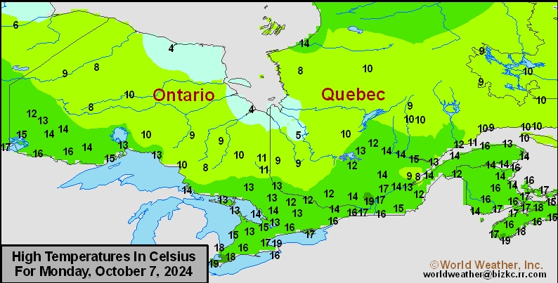
SE Canada Max
This content is for members only
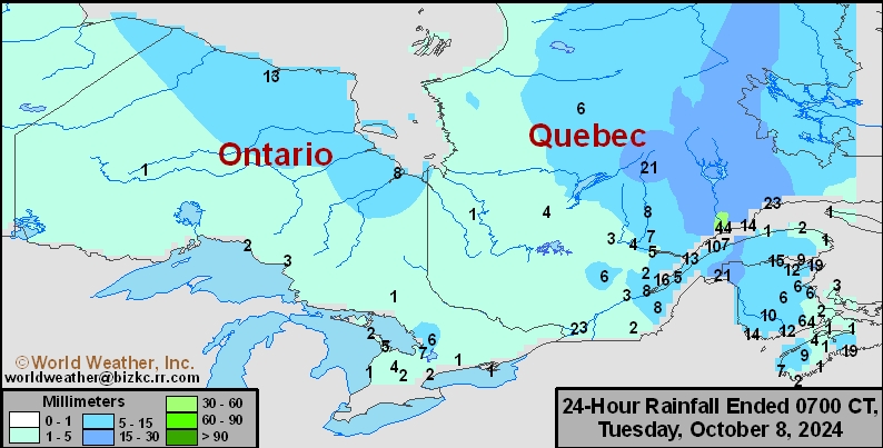
SE Canada Rainfall
This content is for members only
Prairies Rainfall

This content is for members only
Prairies Max Temperature

This content is for members only
Prairies Min Temperature

This content is for members only
Canada Rainfall

This content is for members only
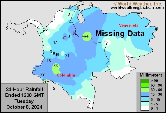
Venezuela Rainfall
This content is for members only
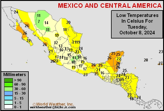
Mexico Min Temperature
This content is for members only
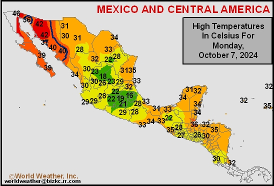
Mexico Max Temperature
This content is for members only
Mexico Rainfall
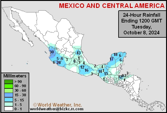
This content is for members only
Argentina Min Temperature
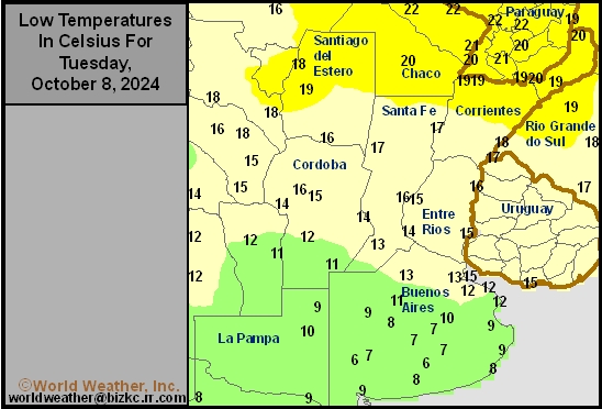
This content is for members only
Argentina Max Temperature
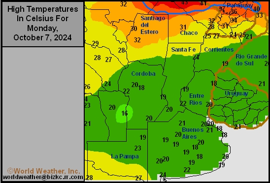
This content is for members only
Argentina Rainfall
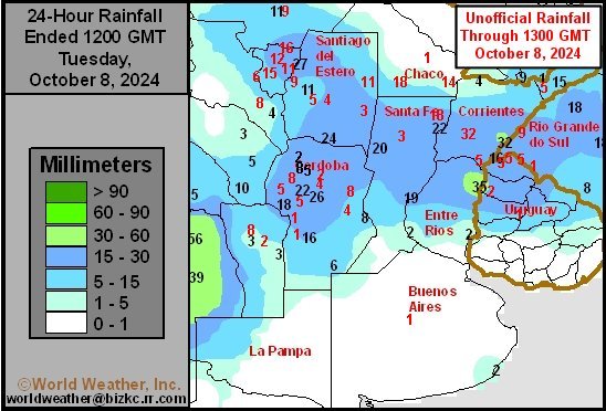
This content is for members only
Brazil Min Temperature
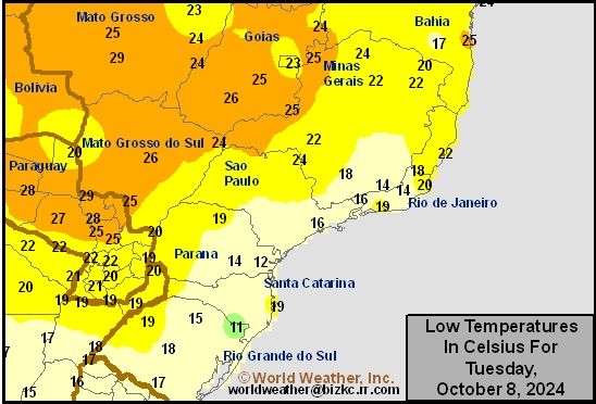
This content is for members only
Brazil Max Temperature
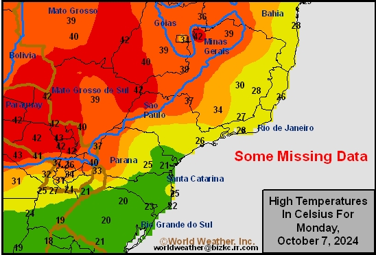
This content is for members only
Brazil Rainfall
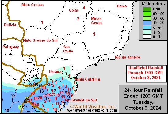
This content is for members only
Philippines Min
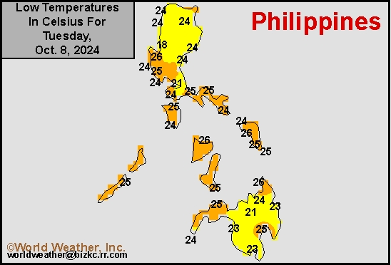
This content is for members only
Philippines Max
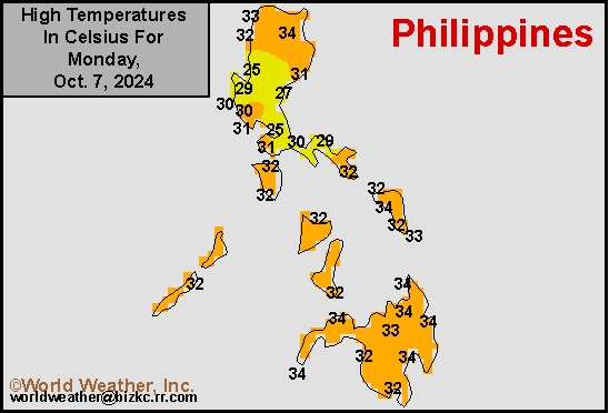
This content is for members only
Philippines Rain
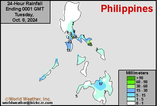
This content is for members only
Southeast North Rain
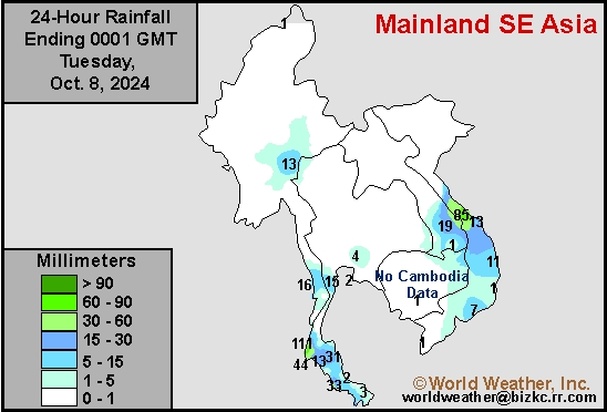
This content is for members only
Southeast North Min
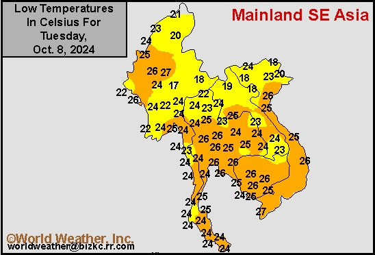
This content is for members only
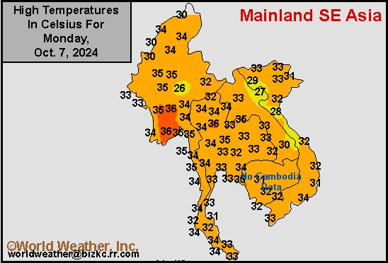
Southeast North Max
This content is for members only
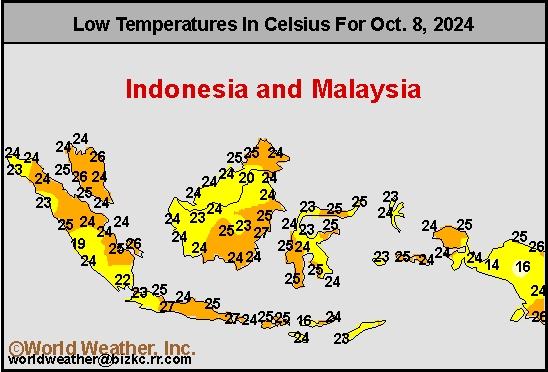
Southeast Min
This content is for members only
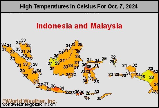
Southeast Max
This content is for members only
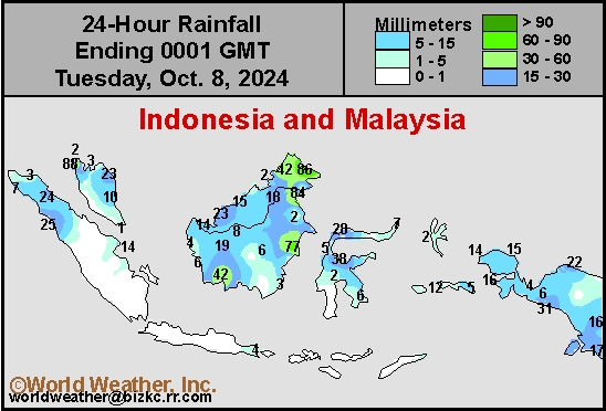
Southeast Rain
This content is for members only
West Africa Rain
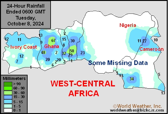
This content is for members only
Max Temperature
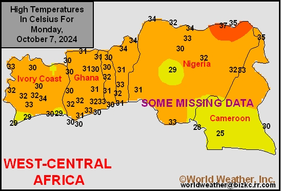
This content is for members only
Min Temperature
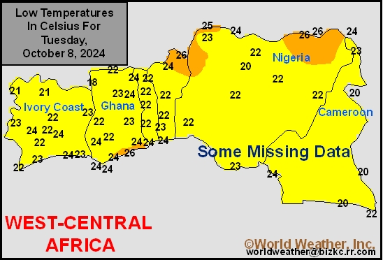
This content is for members only
North Africa Rain
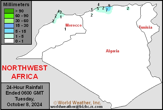
This content is for members only
Max Temperature
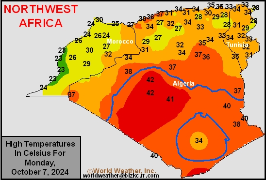
This content is for members only
Min Temperature
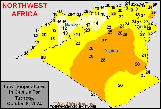
This content is for members only
Min Temperature
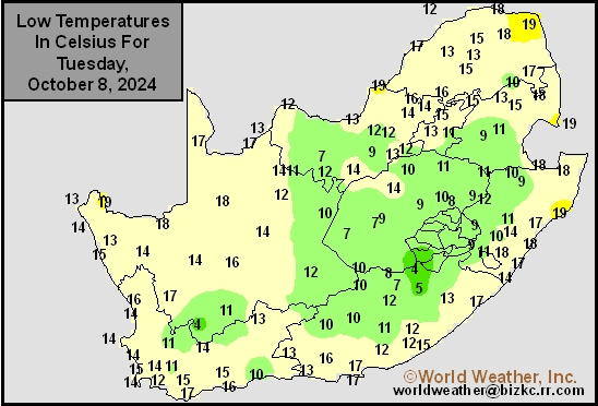
This content is for members only
Max Temperature
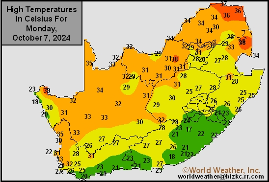
This content is for members only
South Africa Rain
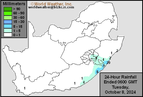
This content is for members only
Hard Red Wheat Tmin
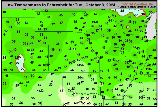
This content is for members only
Northeast Tmin
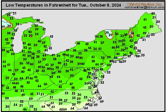
This content is for members only
Southwest Tmin
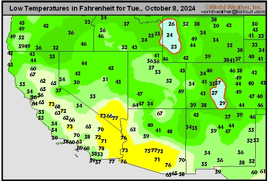
This content is for members only
Northwest Tmin
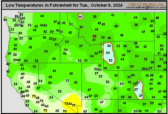
This content is for members only
South Plains Tmin
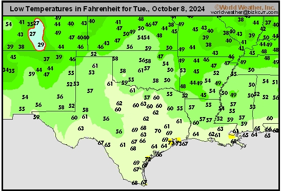
This content is for members only
Delta/SE U.S. Tmin
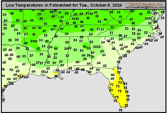
This content is for members only
Corn Belt Tmin
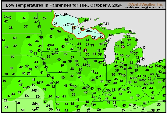
This content is for members only
US Min

This content is for members only
North Plains Tmin
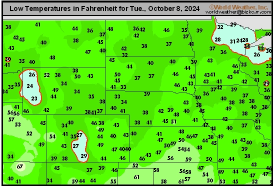
This content is for members only
Hard Red Wheat Tmax
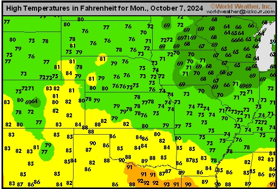
This content is for members only
Northeast Tmax
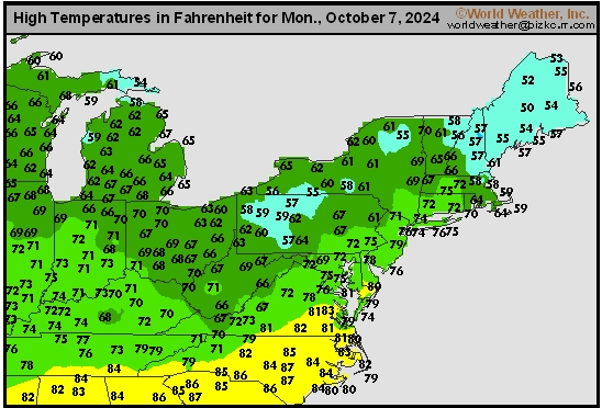
This content is for members only
Southwest Tmax
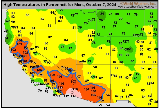
This content is for members only
Northwest Tmax
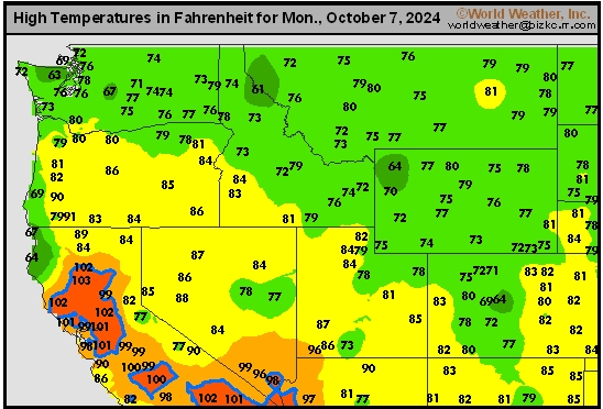
This content is for members only
South Plains Tmax
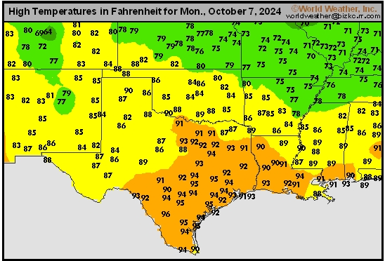
This content is for members only
Delta/SE U.S. Tmax
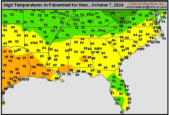
This content is for members only
Corn Belt Tmax
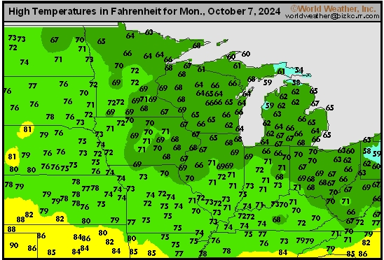
This content is for members only
North Plains Tmax
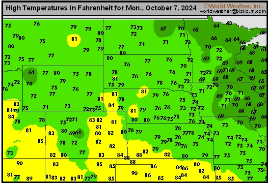
This content is for members only
US Max

This content is for members only
US Rain

This content is for members only
Northeast Daily Rain
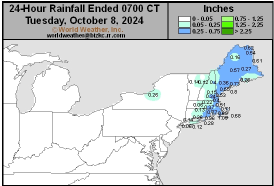
This content is for members only
Hard Red Wheat Daily Rain
This content is for members only
Southwest Daily Rain
This content is for members only
Northwest Daily Rain
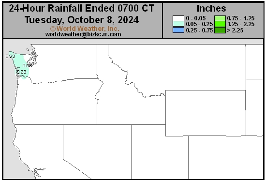
This content is for members only
South Plains Daily Rain
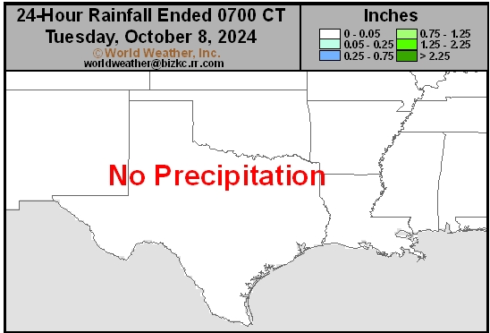
This content is for members only
Delta/SE U.S. Daily Rain
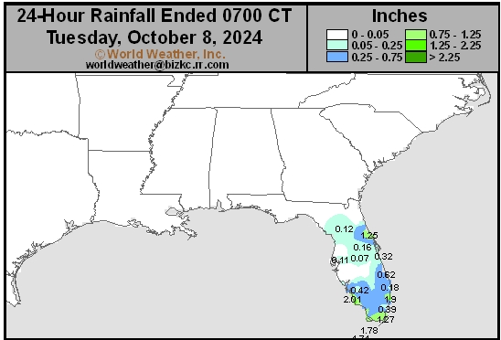
This content is for members only
Corn Belt Daily Rain
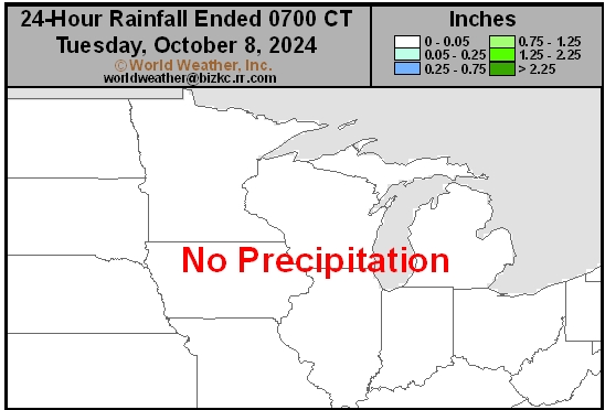
This content is for members only
North Plains Daily Rain
This content is for members only
Low Temperature
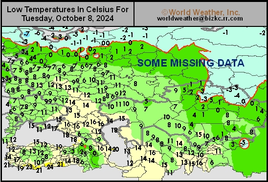
This content is for members only
High Temperature
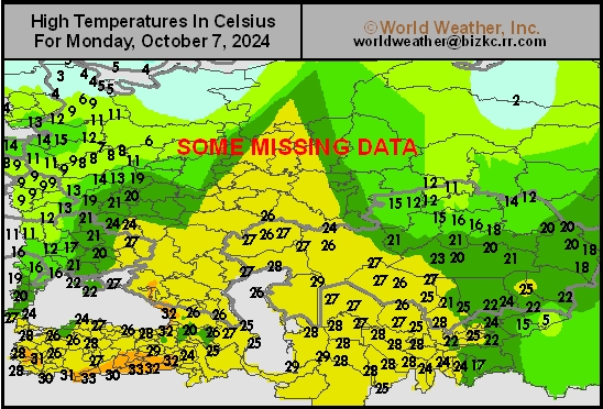
This content is for members only
CIS Rainfall
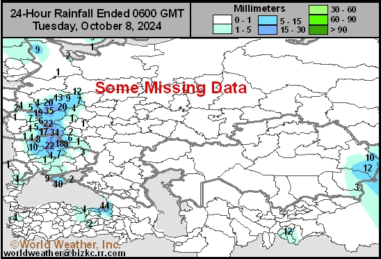
This content is for members only
Low Temperature
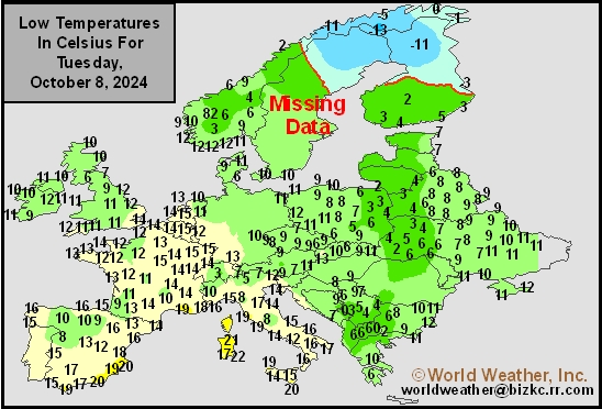
This content is for members only
High Temperature
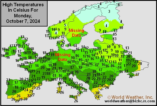
This content is for members only
Europe Rainfall
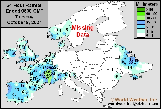
This content is for members only
Low Temperature
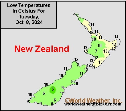
This content is for members only
High Temperature
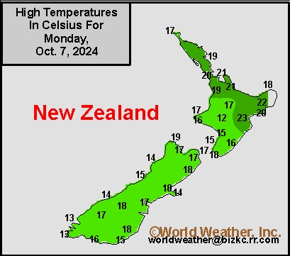
This content is for members only
New Zealand Rainfall
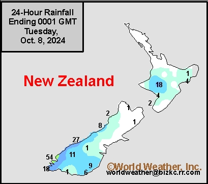
This content is for members only
Low Temperature
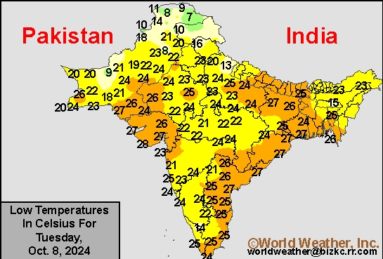
This content is for members only
High Temperature
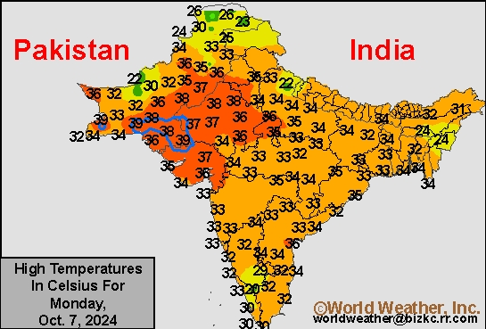
This content is for members only
India Rainfall
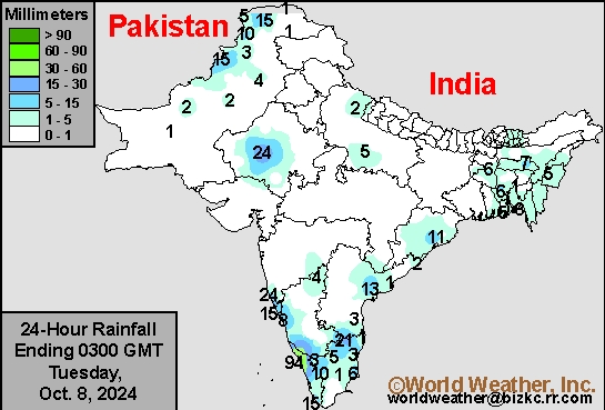
This content is for members only
Low Temperature
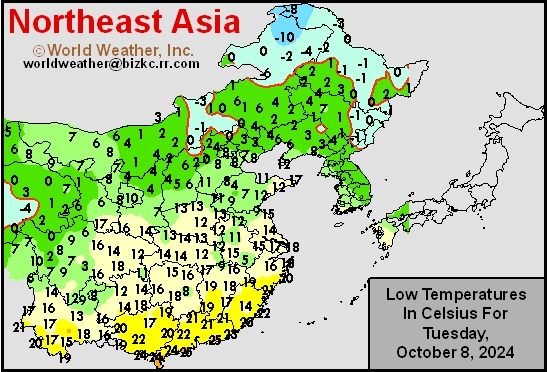
This content is for members only
Japan Rainfall
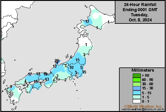
This content is for members only
Low Temperature
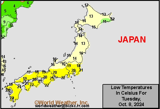
This content is for members only
High Temperature
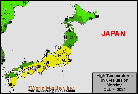
This content is for members only
High Temperature
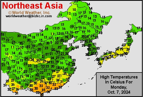
This content is for members only
China Rainfall
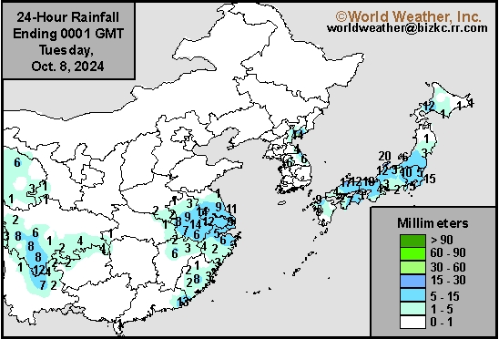
This content is for members only
Low Temperature
This content is for members only
High Temperature
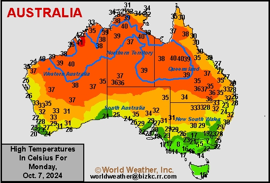
This content is for members only
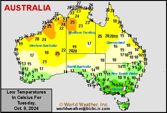
Austrailia Rainfall
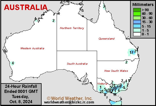
This content is for members only
Northern, Central Argentina To Receive Timely Rain This Week
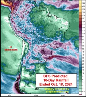
Kansas City, October 7 (World Weather Inc.) – Drier biased conditions and periods of warmer weather during the past week kept the ground too dry for ideal early-season planting and establishment across Argentina. There is still plenty of time for better rainfall to support more aggressive planting, though many areas in western and central Argentina need abundant rainfall to completely fix the moisture deficits. Northern and central Argentina will have several opportunities for rain this week that will gradually improve the moisture profile. Planting prospects will gradually improve, though the rain may limit aggressive fieldwork in the wettest locations. Southern Argentina will remain drier than normal for another week, though the prospects for rain may improve Oct. 15-21.
Brazil Seasonal Rains Will Gradually Expand This Week
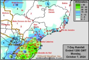
Kansas City, October 7 (World Weather Inc.) – Center-west, center-south, and northeastern Brazil remained drier biased during the past week. Some spotty rain was noted, though not enough to significantly improve the moisture profile across the main soybean and first-season corn areas. Seasonal rainfall will gradually expand this week and should start to improve planting prospects. However, rainfall will be too light to significantly bolster soil moisture in many areas and follow up rain will be needed and is expected next week. Southern Brazil saw a mix of rain and sunshine during the past week with more rain slated this week. Southern crop areas have made good advancements on early season planting and progress will continue. Wheat areas, however, might benefit from drying.
U.S. Drought Breeds Excessive Wind, Wild Temperature Swings
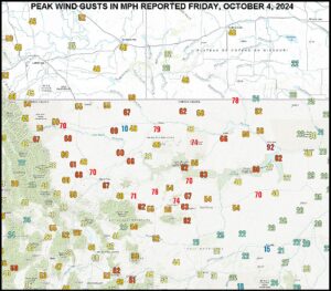
Kansas City, October 7 (World Weather Inc.) – Returning drought to the heart of North America this autumn has resulted in the persistence of very warm, summer-like, temperatures. Relative humidity has plummeted in most of the region from the western Midwest through the Great Plains to the Pacific Coast States. Low humidity is normal in a drought and allows wild temperature swings to occur. The faster the temperatures change the higher wind speeds become. This past weekend’s windstorm in the northern Plains was indicative of this as a cold airmass briefly passed through some of the drought region.
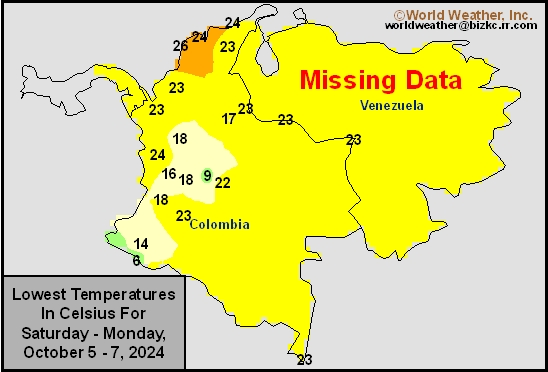
Venezuela/Colombia Min Temps
This content is for members only
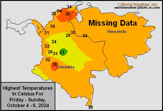
Venezuela/Colombia Max Temps
This content is for members only
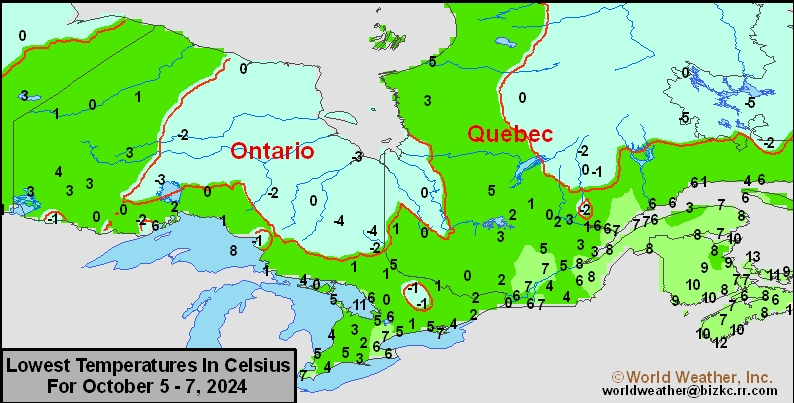
SE Canada Min
This content is for members only
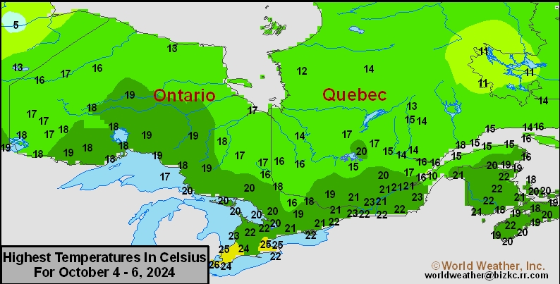
SE Canada Max
This content is for members only
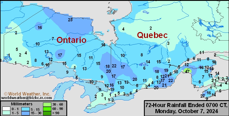
SE Canada Rainfall
This content is for members only
Prairies Rainfall

This content is for members only
Prairies Max Temperature

This content is for members only