
Topsoil Moisture
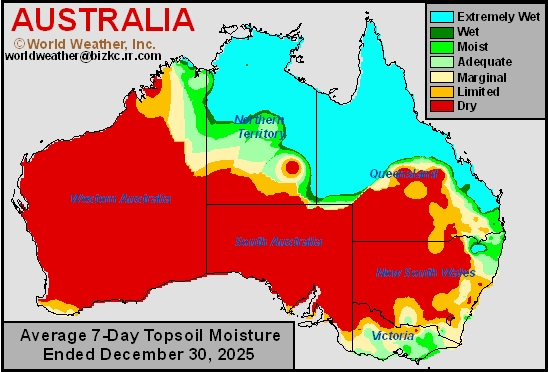
This content is for members only
Subsoil Moisture
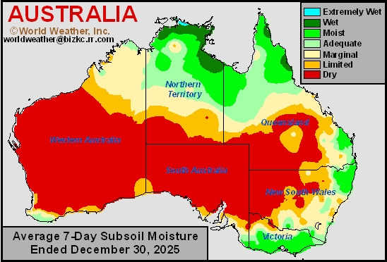
This content is for members only
U.S. Hard Red Wheat Country Too Warm, Too Dry
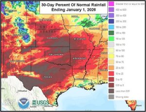
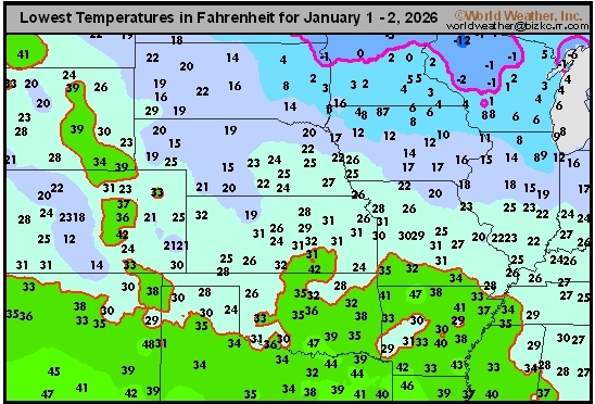
Kansas City, January 2 (World Weather Inc.) – The U.S. central and southern Plains experienced drier or much drier than usual conditions in December. The lack of precipitation combined with periods of much warmer than usual conditions kept soil moisture below favorable levels for ideal long-term hard red winter wheat conditions. Many areas in the southern Plains have been warm enough for a long enough period of time to promote new growth, though the lack of significant precipitation or soil moisture has prevented aggressive development. At least another week of drier and warmer than normal weather is slated for these areas. There is potential for some precipitation later this month that may marginally raise soil moisture in a few locations. However, the need for significant precipitation will remain high heading into the latter part of the month especially in the southwest.
Venezuela/Colombia Min Temps
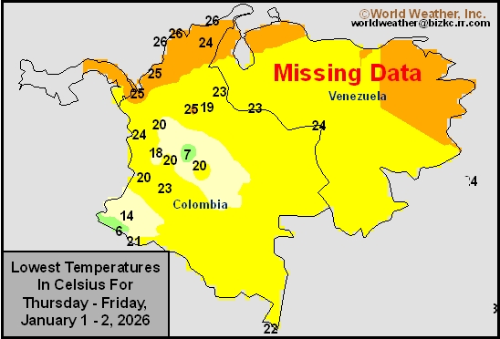
This content is for members only
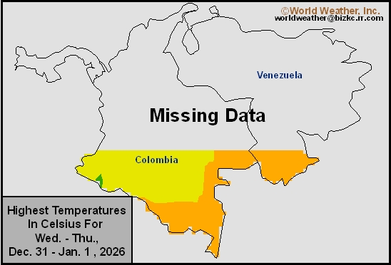
Venezuela/Colombia Max Temps
This content is for members only
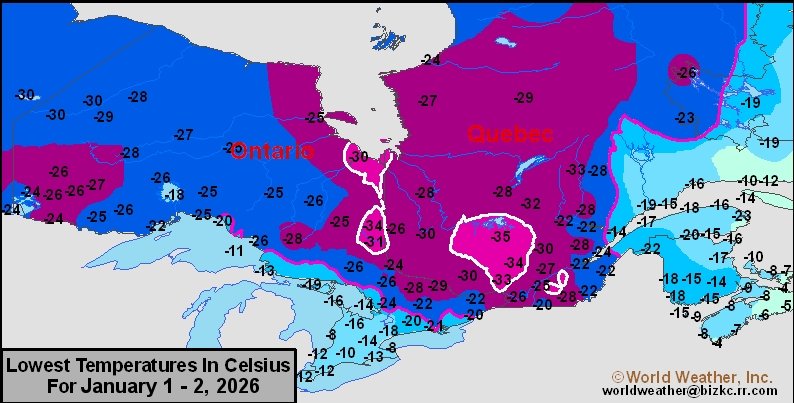
SE Canada Min
This content is for members only
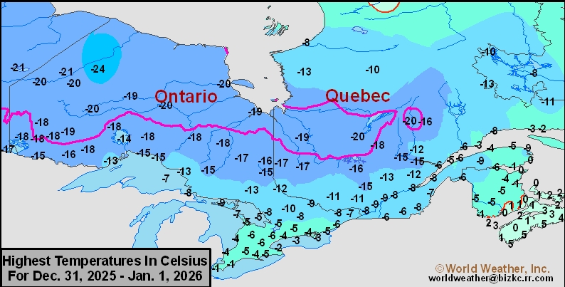
SE Canada Max
This content is for members only
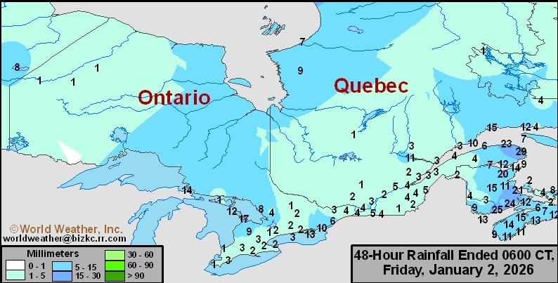
SE Canada Rainfall
This content is for members only
Prairies Rainfall
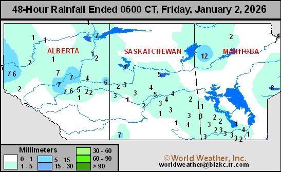
This content is for members only
Prairies Max Temperature
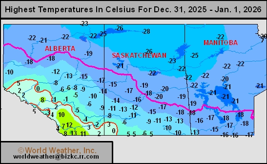
This content is for members only
Prairies Min Temperature
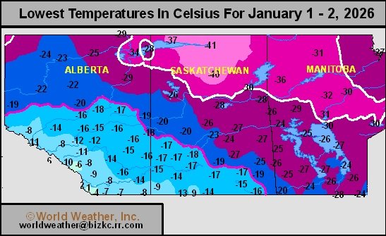
This content is for members only
Canada Rainfall
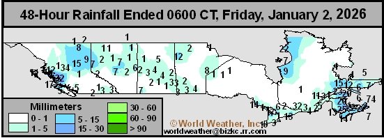
This content is for members only
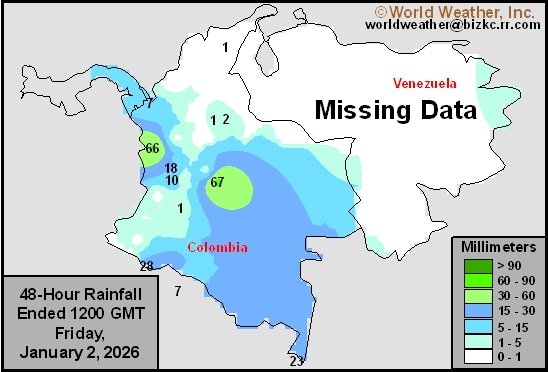
Venezuela Rainfall
This content is for members only
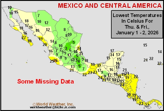
Mexico Min Temperature
This content is for members only
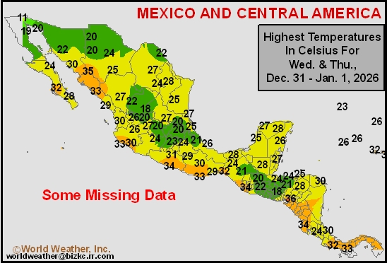
Mexico Max Temperature
This content is for members only
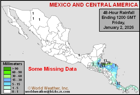
Mexico Rainfall
This content is for members only
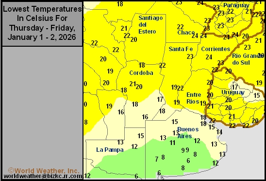
Argentina Min Temperature
This content is for members only
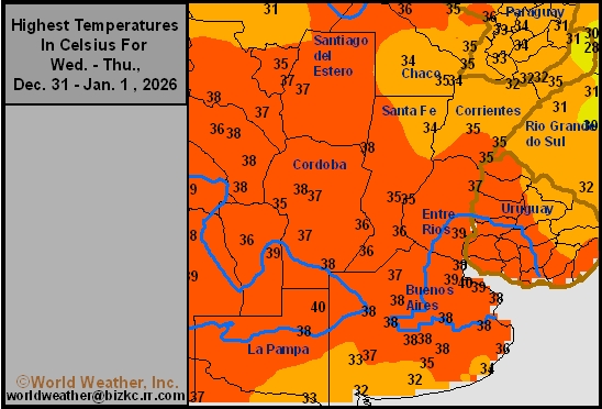
Argentina Max Temperature
This content is for members only
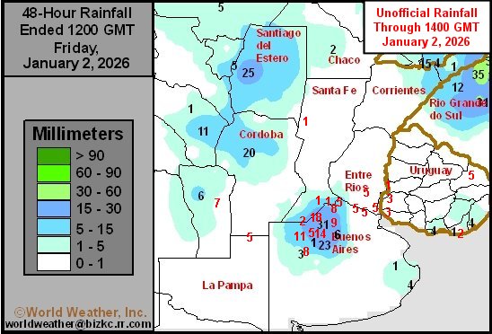
Argentina Rainfall
This content is for members only
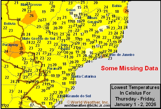
Brazil Min Temperature
This content is for members only
Brazil Max Temperature
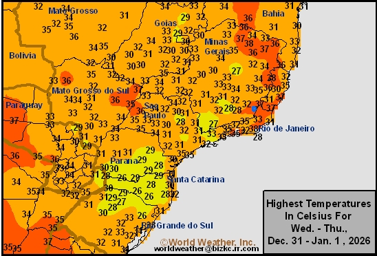
This content is for members only
Brazil Rainfall
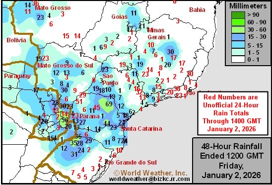
This content is for members only
Philippines Min
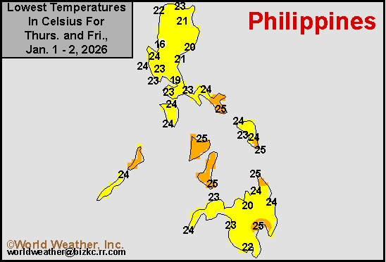
This content is for members only
Philippines Max
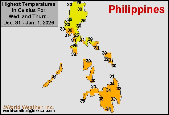
This content is for members only
Philippines Rain
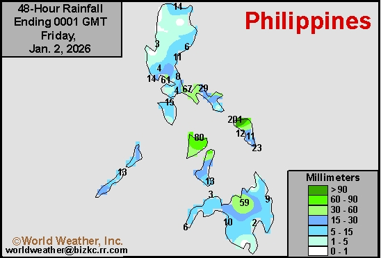
This content is for members only
Southeast North Rain
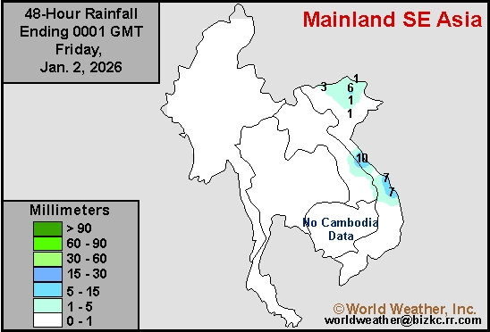
This content is for members only
Southeast North Min
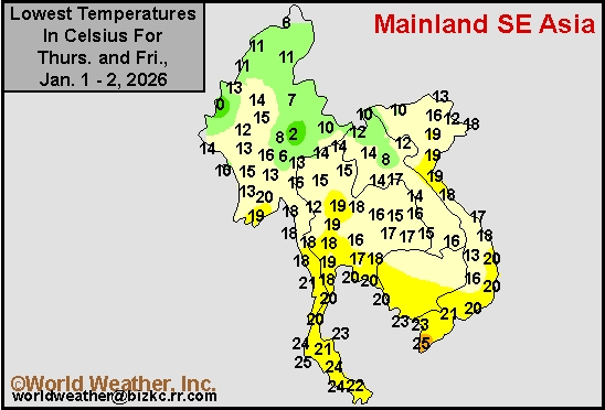
This content is for members only
Southeast North Max
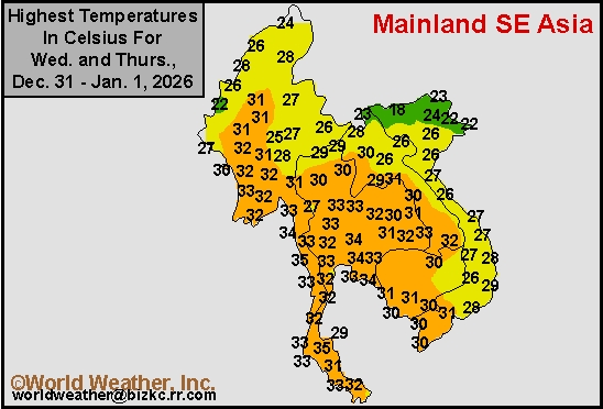
This content is for members only
Southeast Min
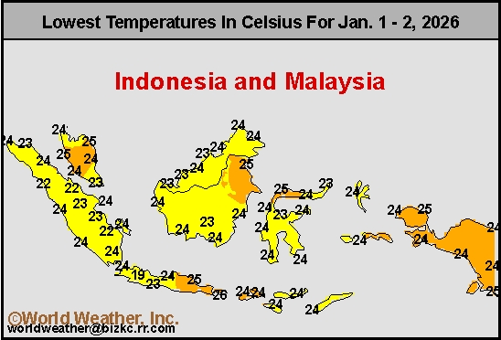
This content is for members only
Southeast Max
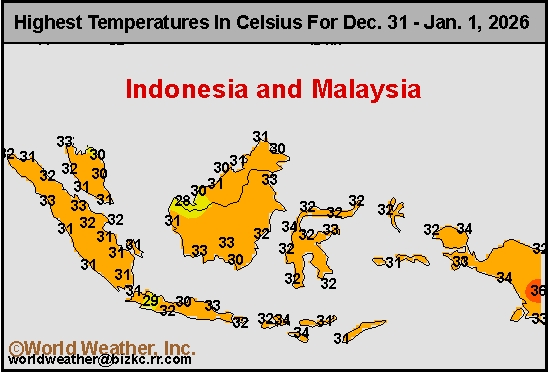
This content is for members only
Southeast Rain
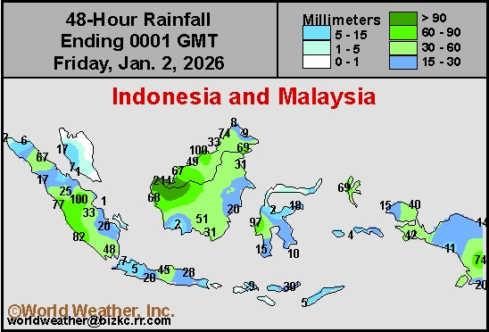
This content is for members only
West Africa Rain
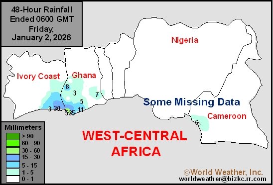
This content is for members only
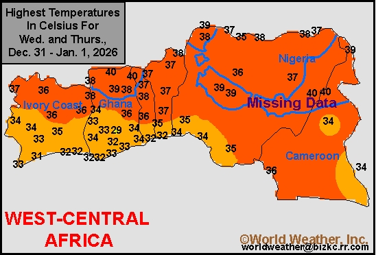
Max Temperature
This content is for members only
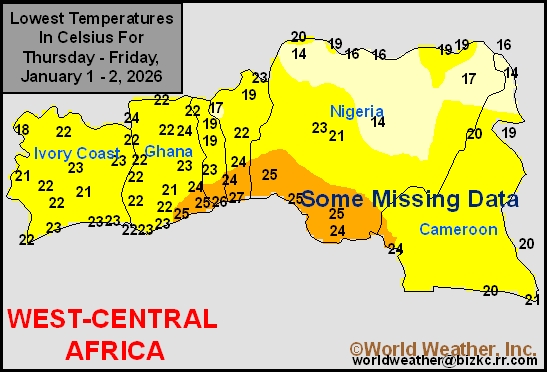
Min Temperature
This content is for members only
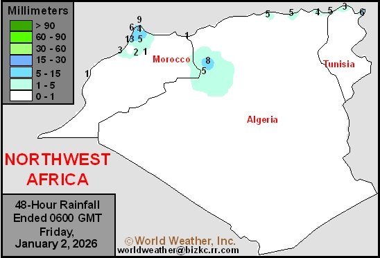
North Africa Rain
This content is for members only
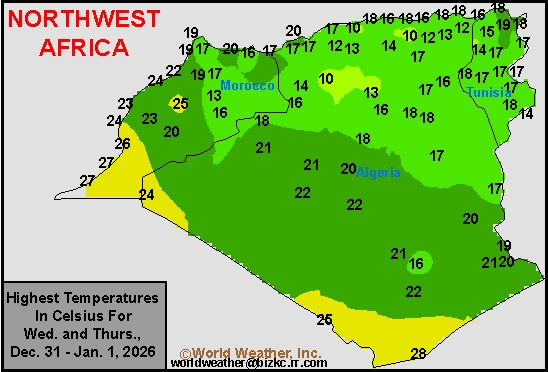
Max Temperature
This content is for members only
Min Temperature
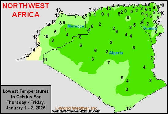
This content is for members only
Min Temperature
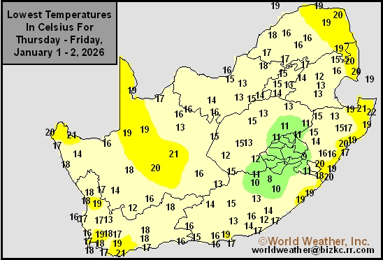
This content is for members only
Max Temperature
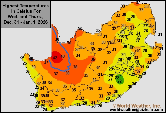
This content is for members only
South Africa Rain
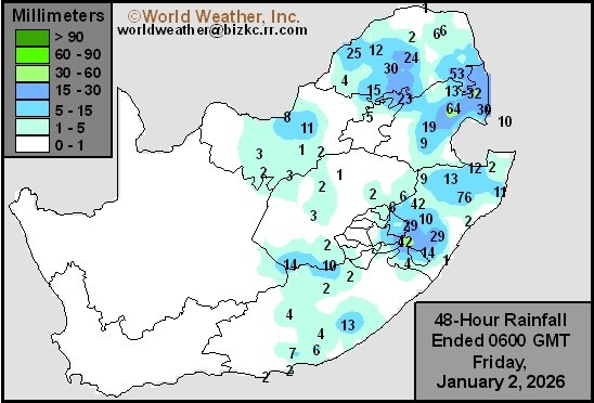
This content is for members only
Hard Red Wheat Tmin
This content is for members only
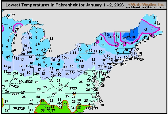
Northeast Tmin
This content is for members only
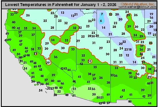
Southwest Tmin
This content is for members only
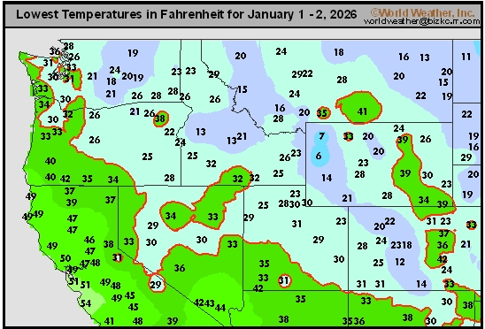
Northwest Tmin
This content is for members only
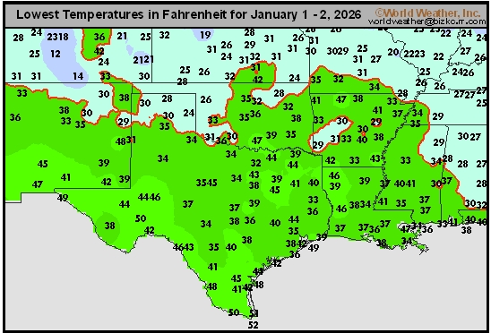
South Plains Tmin
This content is for members only
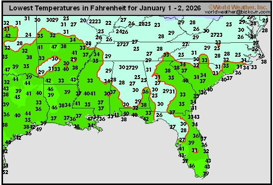
Delta/SE U.S. Tmin
This content is for members only
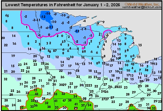
Corn Belt Tmin
This content is for members only
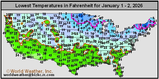
US Min
This content is for members only
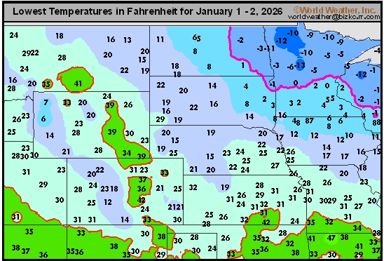
North Plains Tmin
This content is for members only
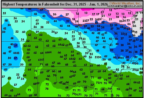
Hard Red Wheat Tmax
This content is for members only
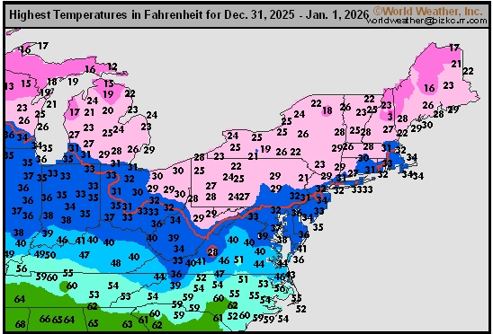
Northeast Tmax
This content is for members only
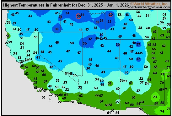
Southwest Tmax
This content is for members only
Northwest Tmax
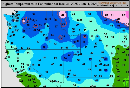
This content is for members only
South Plains Tmax
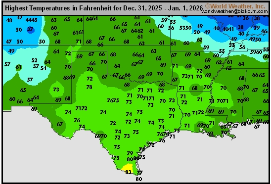
This content is for members only
Delta/SE U.S. Tmax
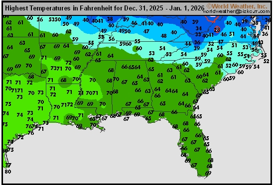
This content is for members only
Corn Belt Tmax
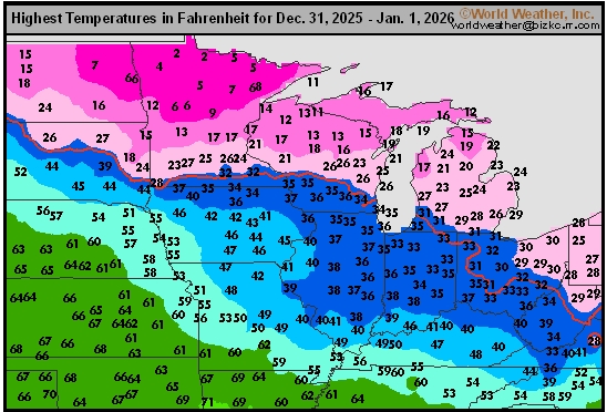
This content is for members only
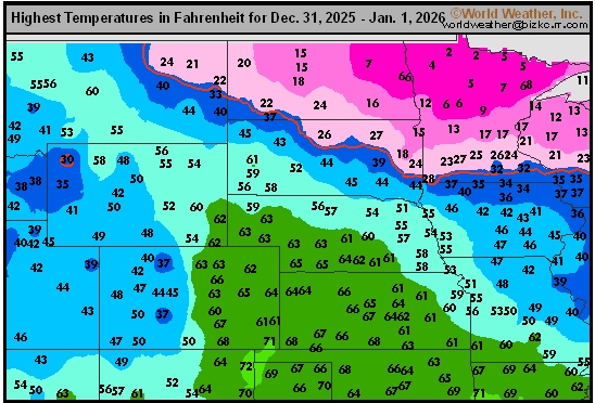
North Plains Tmax
This content is for members only
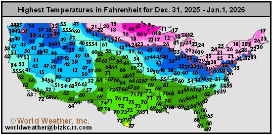
US Max
This content is for members only
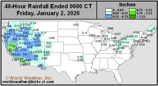
US Rain
This content is for members only
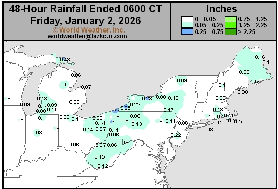
Northeast Daily Rain
This content is for members only
Hard Red Wheat Daily Rain
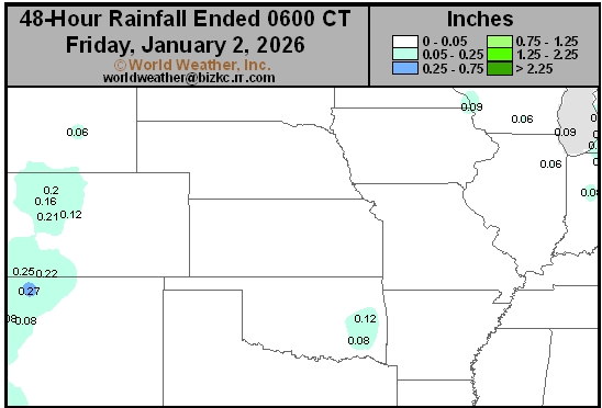
This content is for members only
Southwest Daily Rain
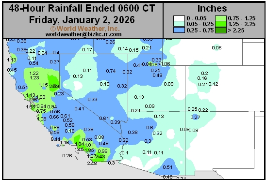
This content is for members only
Northwest Daily Rain
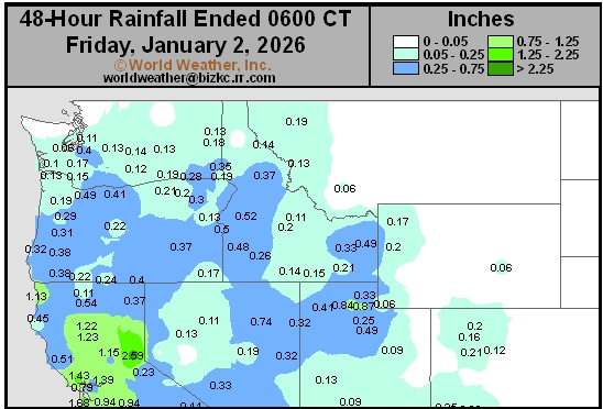
This content is for members only
South Plains Daily Rain
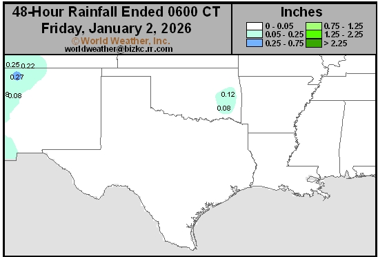
This content is for members only
Delta/SE U.S. Daily Rain
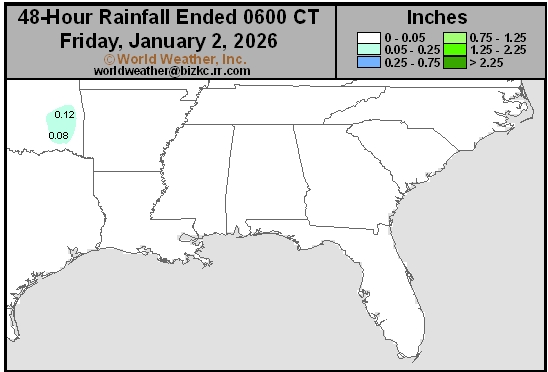
This content is for members only
Corn Belt Daily Rain
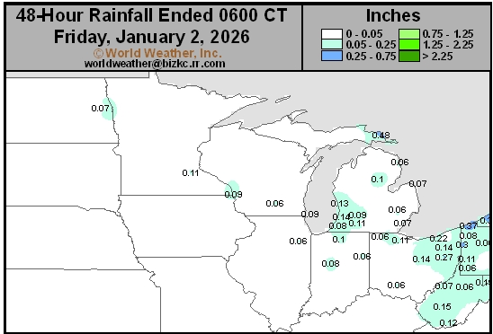
This content is for members only
North Plains Daily Rain
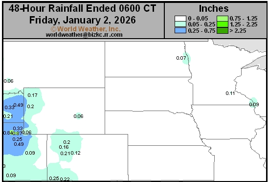
This content is for members only
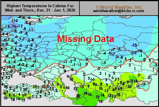
Low Temperature
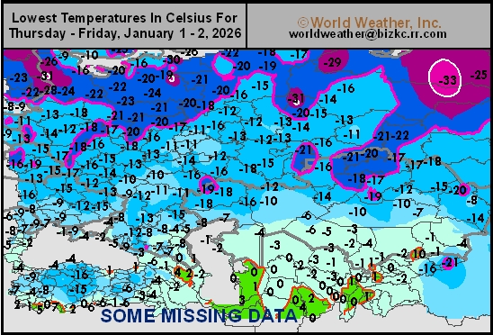
This content is for members only
High Temperature
This content is for members only
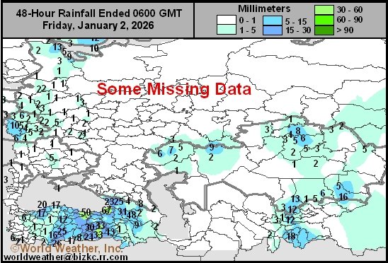
CIS Rainfall
This content is for members only
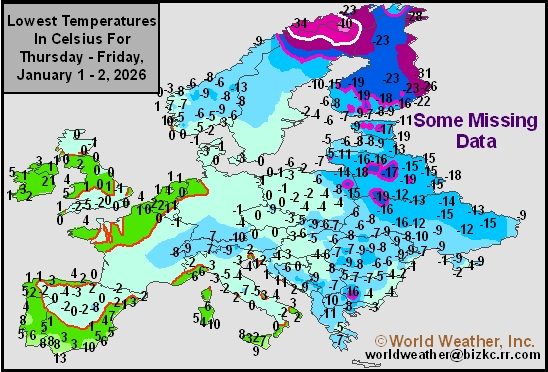
Low Temperature
This content is for members only
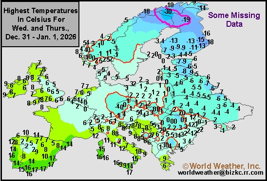
High Temperature
This content is for members only
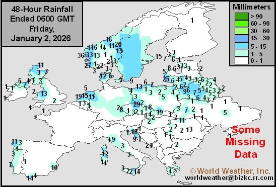
Europe Rainfall
This content is for members only
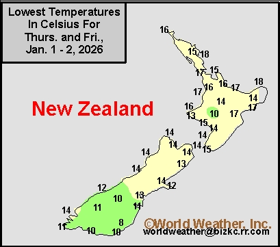
Low Temperature
This content is for members only
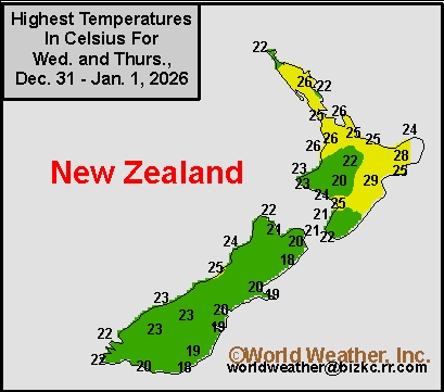
High Temperature
This content is for members only
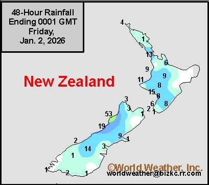
New Zealand Rainfall
This content is for members only
Low Temperature
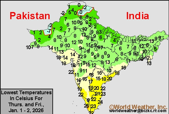
This content is for members only
High Temperature
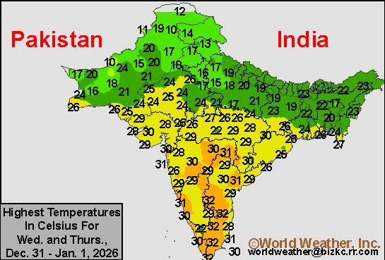
This content is for members only
India Rainfall
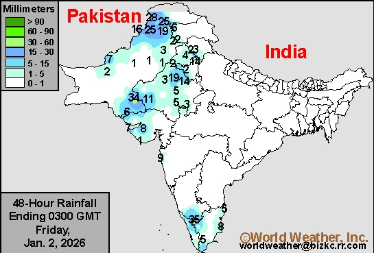
This content is for members only
Low Temperature
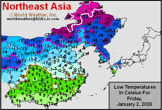
This content is for members only
Japan Rainfall
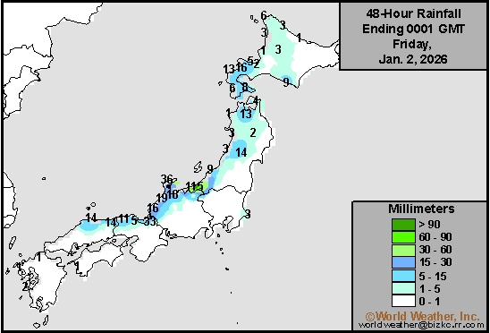
This content is for members only
Low Temperature
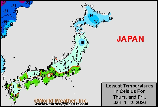
This content is for members only
High Temperature
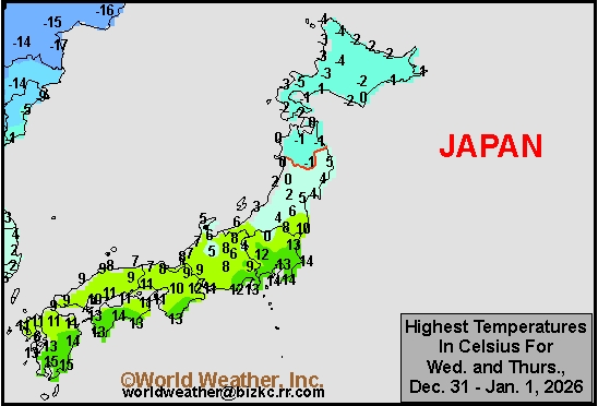
This content is for members only
High Temperature
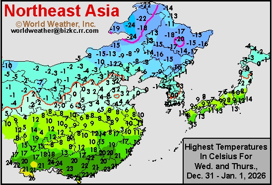
This content is for members only
China Rainfall
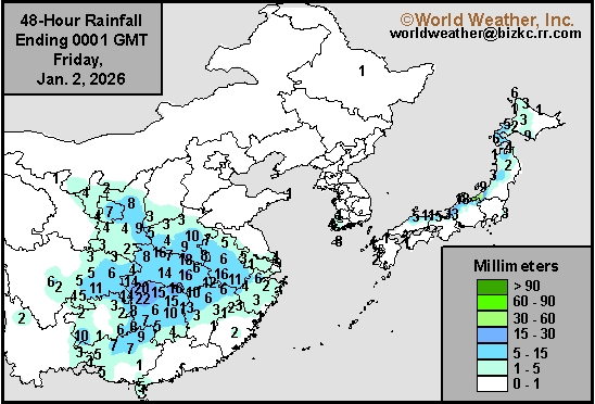
This content is for members only
Low Temperature
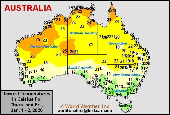
This content is for members only
High Temperature
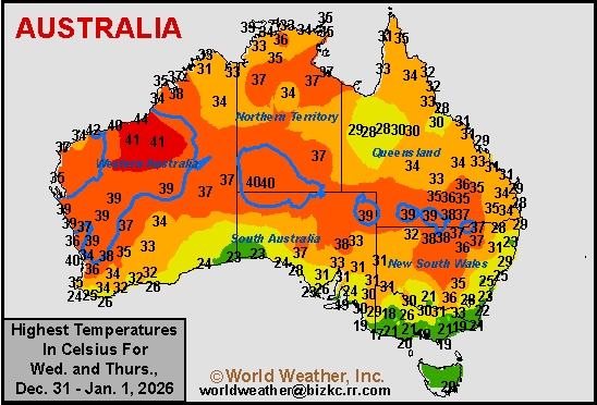
This content is for members only
Austrailia Rainfall
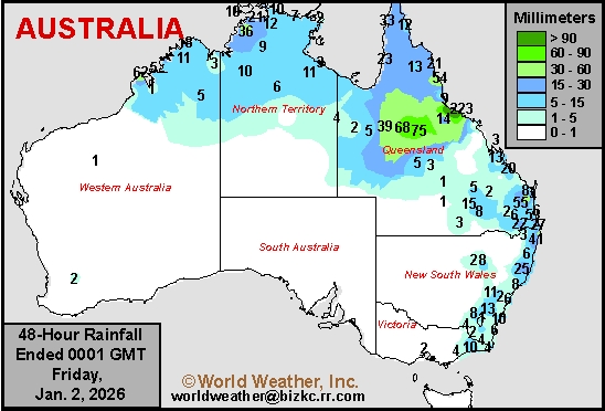
This content is for members only
South Africa Will Continue To See Frequent Rainfall
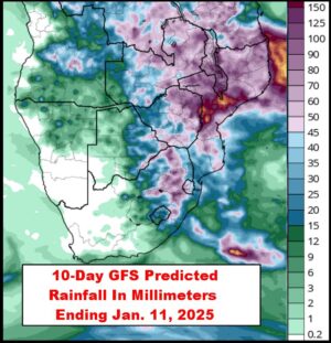
Kansas City, December 31 (World Weather Inc.) – South Africa’s main production areas continued to receive rain on a frequent basis during the past week. The environment remained favorable for aggressive establishment and early-season development. Late-season planting of the coarse grains, oilseeds, and cotton may have otherwise advanced slowly in the wettest locations, most notably Natal, Mpumalanga, and eastern Free State. The eastern half of the country will remain in a wet weather bias through the middle of next week. Crop conditions will remain favorable. Western South Africa will otherwise miss out on the rain and dry down significantly. The small production region in western Free State and North West would benefit from increased rainfall later in January to maintain a good outlook for the crops.
California Flood Potentials Will Increase In Coming Days
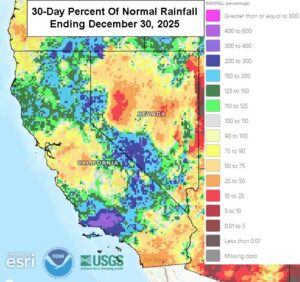
Kansas City, January 1 (World Weather Inc.) – Precipitation varied across California in December. Much of the north and the Sierra Nevada have been wetter than usual while the central valleys have trended drier than usual. Mountain snowpack is generally below normal for this time of year; though that situation may change greatly in the coming week. The state will now face waves of precipitation through the middle of next week. Rain will lash California on a frequent basis to potentially promote significant flooding, especially in northern parts of the state and possibly in the Los Angeles Basin. Mountain snowpack will increase significantly across the Sierra Nevada as well. The moisture will be ideal for water supply and soil moisture, although in the near term there is likely to be some damage to infrastructure and some personal property and crop land.
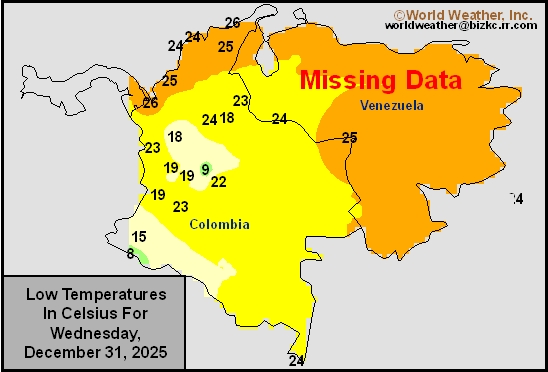
Venezuela/Colombia Min Temps
This content is for members only
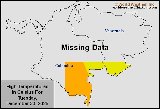
Venezuela/Colombia Max Temps
This content is for members only
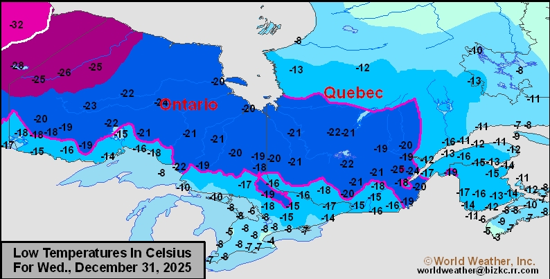
SE Canada Min
This content is for members only
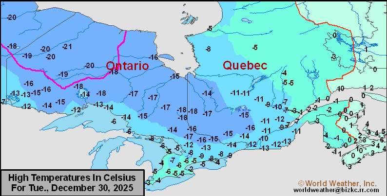
SE Canada Max
This content is for members only
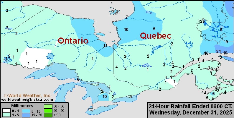
SE Canada Rainfall
This content is for members only
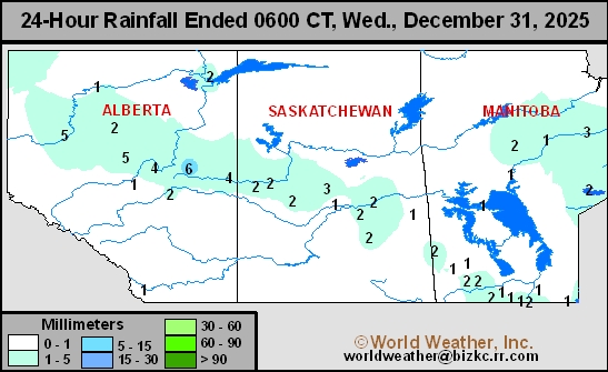
Prairies Rainfall
This content is for members only
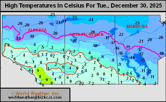
Prairies Max Temperature
This content is for members only
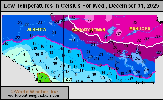
Prairies Min Temperature
This content is for members only
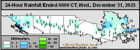
Canada Rainfall
This content is for members only
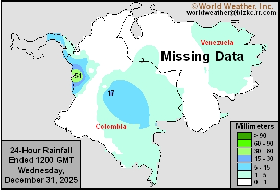
Venezuela Rainfall
This content is for members only