
Max Temperature
This content is for members only
South Africa Rain
This content is for members only
Hard Red Wheat Tmin
This content is for members only
Northeast Tmin
This content is for members only
Southwest Tmin
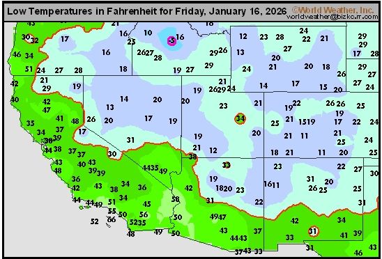
This content is for members only
Northwest Tmin
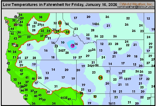
This content is for members only
South Plains Tmin
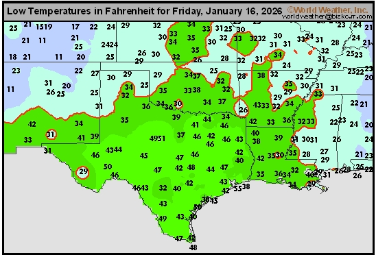
This content is for members only
Delta/SE U.S. Tmin
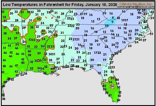
This content is for members only
Corn Belt Tmin
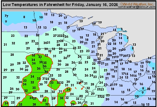
This content is for members only
US Min
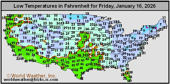
This content is for members only
North Plains Tmin
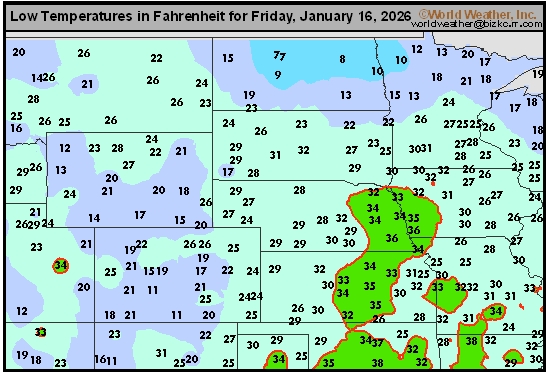
This content is for members only
Hard Red Wheat Tmax
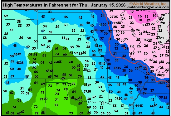
This content is for members only
Northeast Tmax
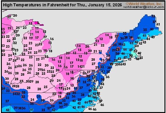
This content is for members only
Southwest Tmax
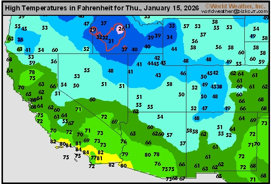
This content is for members only
Northwest Tmax
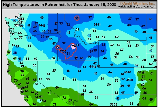
This content is for members only
South Plains Tmax
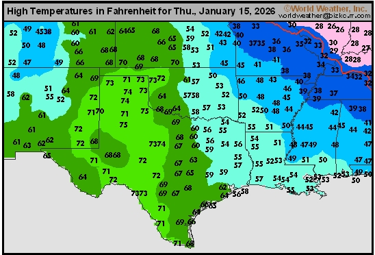
This content is for members only
Delta/SE U.S. Tmax
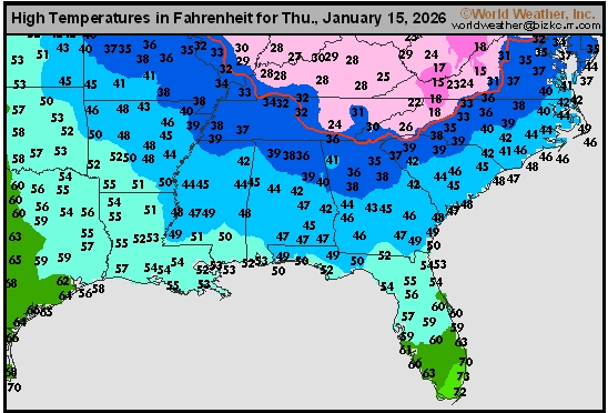
This content is for members only
Corn Belt Tmax
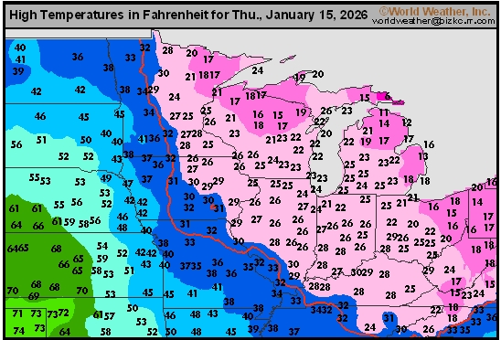
This content is for members only
North Plains Tmax
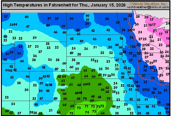
This content is for members only
US Max
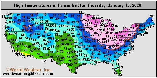
This content is for members only
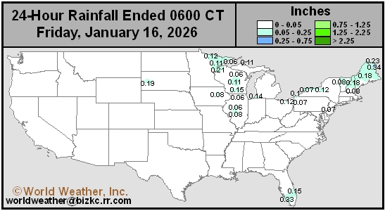
US Rain
This content is for members only
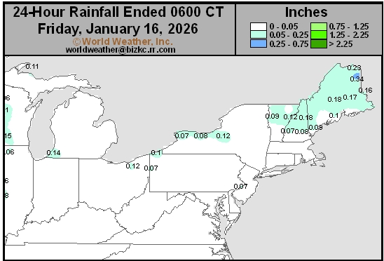
Northeast Daily Rain
This content is for members only
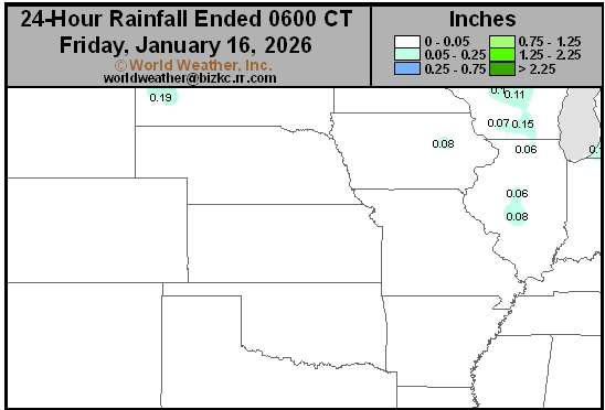
Hard Red Wheat Daily Rain
This content is for members only
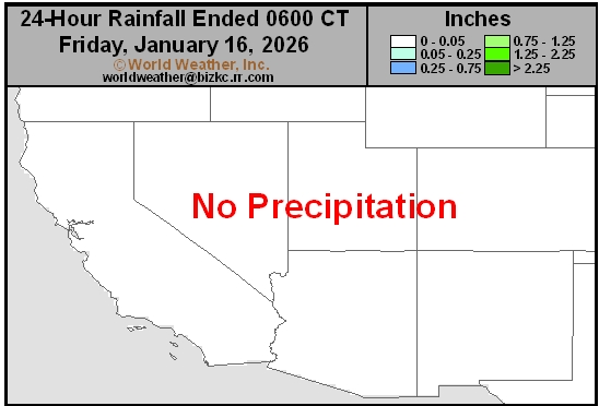
Southwest Daily Rain
This content is for members only
Northwest Daily Rain
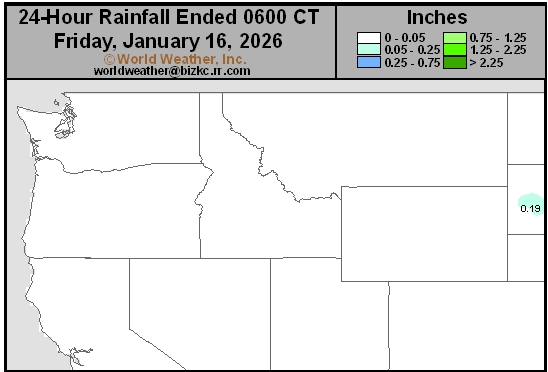
This content is for members only
South Plains Daily Rain
This content is for members only
Delta/SE U.S. Daily Rain
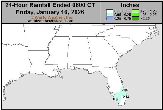
This content is for members only
Corn Belt Daily Rain
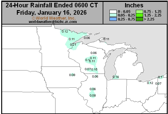
This content is for members only
North Plains Daily Rain
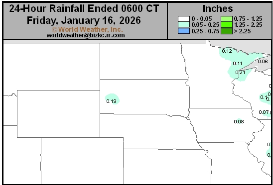
This content is for members only
Low Temperature
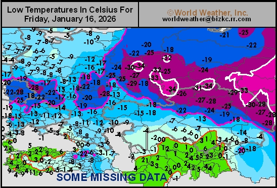
This content is for members only
High Temperature
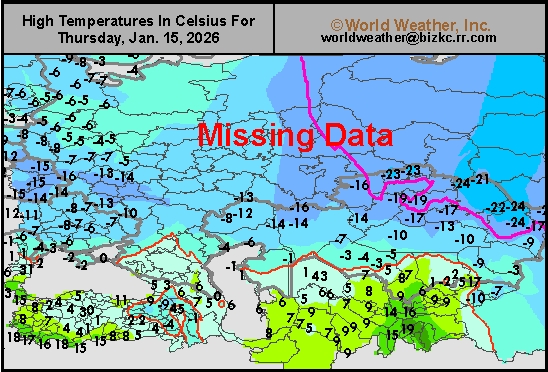
This content is for members only
CIS Rainfall
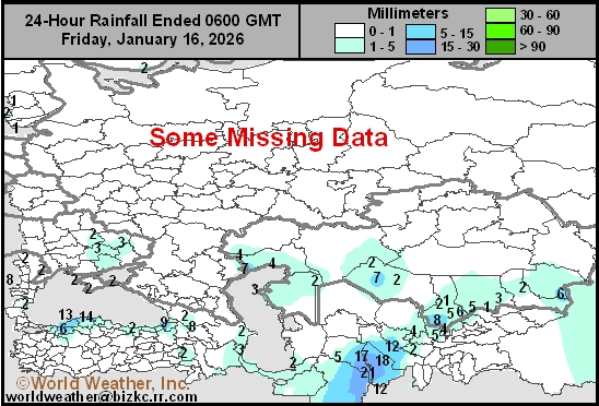
This content is for members only
Low Temperature
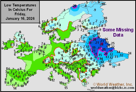
This content is for members only
High Temperature
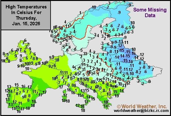
This content is for members only
Europe Rainfall
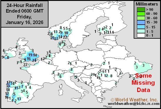
This content is for members only
Low Temperature
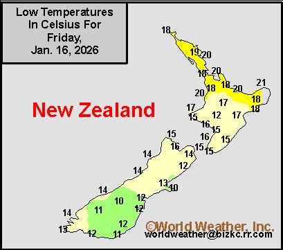
This content is for members only
High Temperature
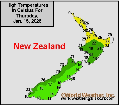
This content is for members only
New Zealand Rainfall
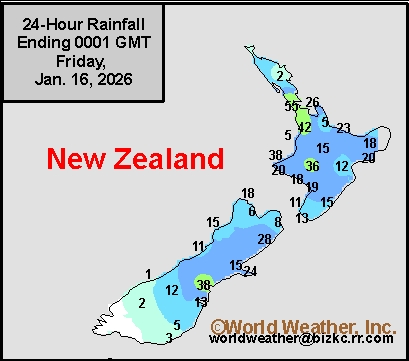
This content is for members only
Low Temperature
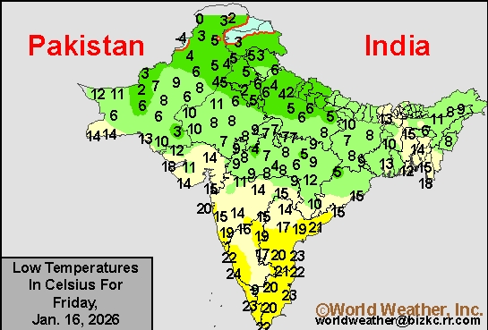
This content is for members only
High Temperature
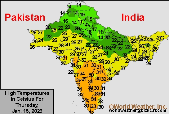
This content is for members only
India Rainfall
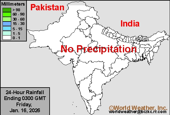
This content is for members only
Low Temperature
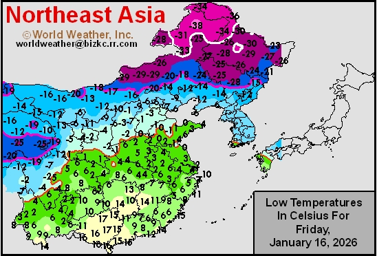
This content is for members only
Japan Rainfall
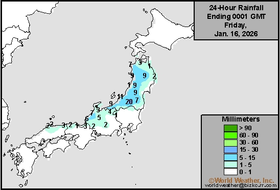
This content is for members only
Low Temperature
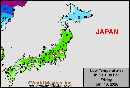
This content is for members only
High Temperature
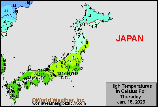
This content is for members only
High Temperature
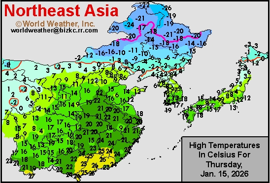
This content is for members only
China Rainfall
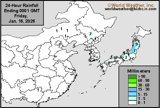
This content is for members only
Low Temperature
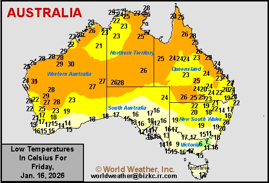
This content is for members only
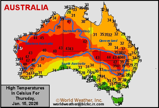
High Temperature
This content is for members only
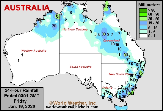
Austrailia Rainfall
This content is for members only
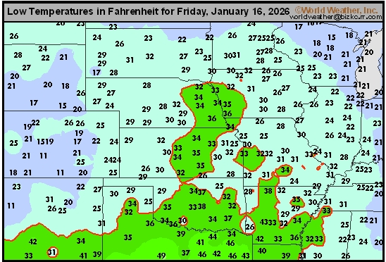
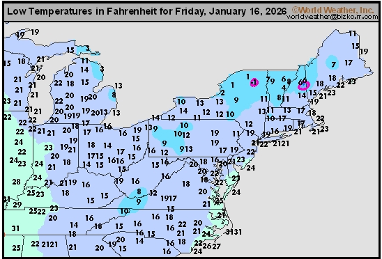
Hazardous Travel, Extreme Wind Chills Impact North U.S. Plains
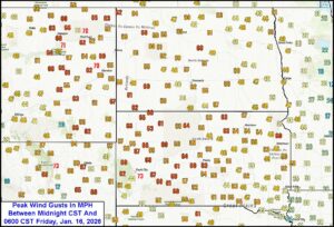
Kansas City, January 16 (World Weather Inc.) – Winter weather has been a bit rare this year across the northern and central U.S. Plains, but today is a different day. Wind gusts of 50-70 mph and morning temperatures in the single digits, teens and 20s Fahrenheit across the northern Plains have combined to produce some very nasty conditions for travelers and livestock. The worst conditions this morning were in the northern Plains, but during the course of the day today the upper Midwest and central Plains will also be impacted. Eventually (this weekend) the wind, blowing snow and falling temperatures will also impact the lower Midwest and portions of the interior southeastern states. Energy demand for supplemental heating fuel will surge higher through the first half of next week and then relax as some moderating temperatures kick in for many areas.
Florida Cools As Expected; Frost, Freezes in Citrus Areas
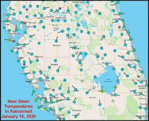
Kansas City, January 16 (World Weather Inc.) – Cold temperatures settled into the southeastern United States overnight bringing some of the lowest temperatures of the season to portions of Florida’s citrus region. Frost and mostly light freeze conditions were common in the key production areas. Damage to unharvested fruit, trees and blossom buds for 2026 should have been minimal due to spray irrigation and other methods of keeping citrus groves warm. Despite the frost and freezes, temperatures were not low enough for a long enough period of time to induce permanent crop damage. Additional bouts of cold will impact Florida early next week and again later this month.
7-Day Rainfall
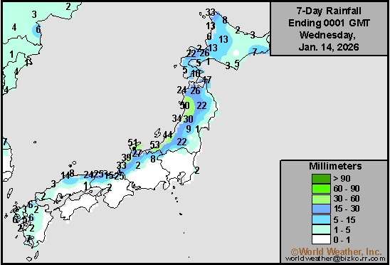
This content is for members only
7-Day Rainfall
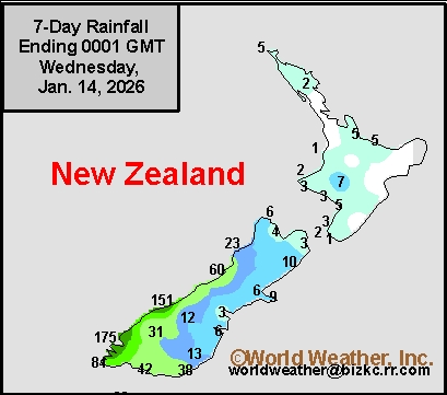
This content is for members only
7-Day Rainfall
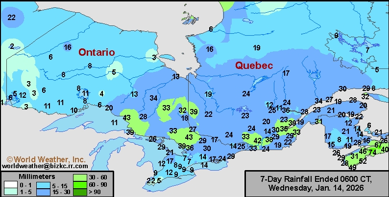
This content is for members only
7-Day Rainfall
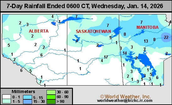
This content is for members only
7-Day Rainfall
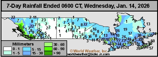
This content is for members only
7-Day Rainfall
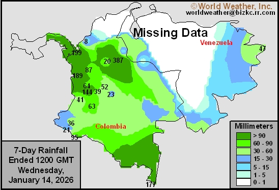
This content is for members only
7-Day Rainfall
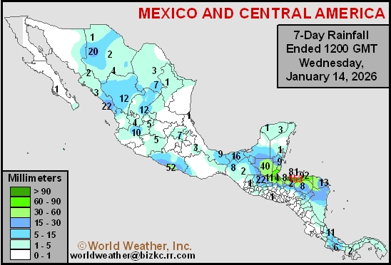
This content is for members only
Hard Red Wheat 7-Day Rain
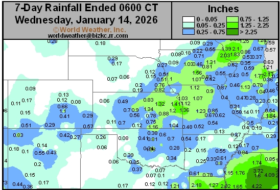
This content is for members only
Northeast 7-Day Rain
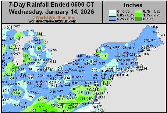
This content is for members only
Southwest 7-Day Rain
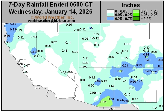
This content is for members only
Northwest 7-Day Rain
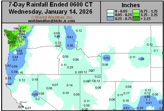
This content is for members only
South Plains 7-Day Rain
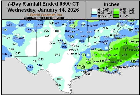
This content is for members only
Delta/SE U.S. 7-Day Rain
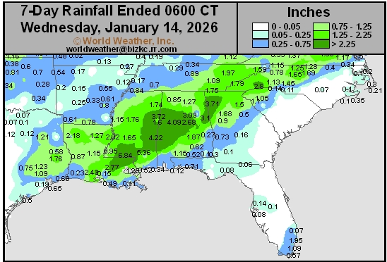
This content is for members only
Corn Belt 7-Day Rain
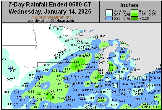
This content is for members only
North Plains 7-Day Rain
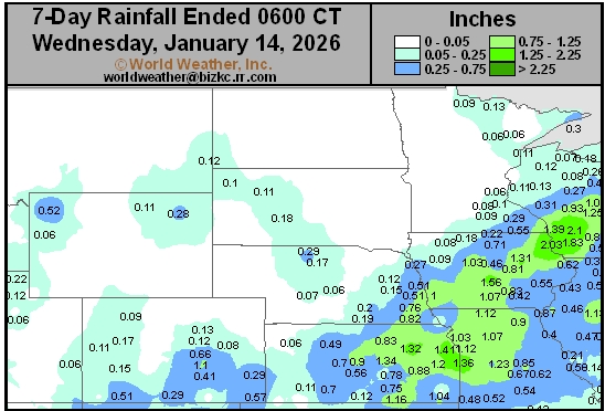
This content is for members only
7-Day Rainfall
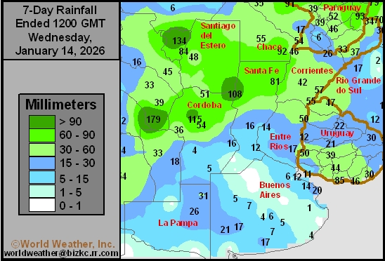
This content is for members only
7-Day Rainfall
This content is for members only
7-Day Rainfall
This content is for members only
7-Day Rainfall
This content is for members only
7-Day Rainfall
This content is for members only
7-Day Rainfall
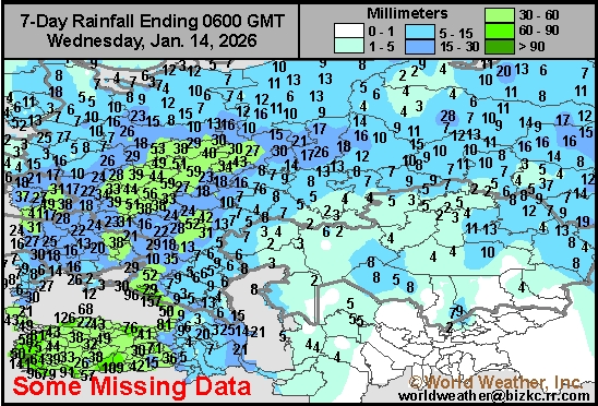
This content is for members only
7-Day Rainfall
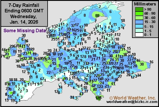
This content is for members only
7-Day Rainfall
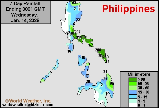
This content is for members only
7-Day Rainfall
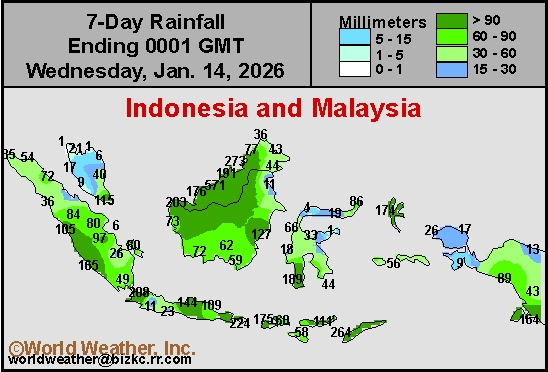
This content is for members only
7-Day Rainfall
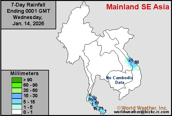
This content is for members only
7-Day Rainfall
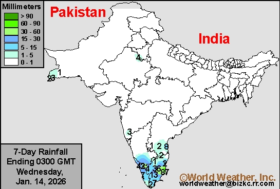
This content is for members only
7-Day Rainfall
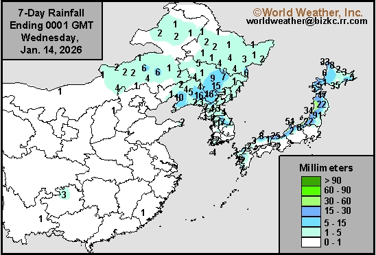
This content is for members only
7-Day Rainfall
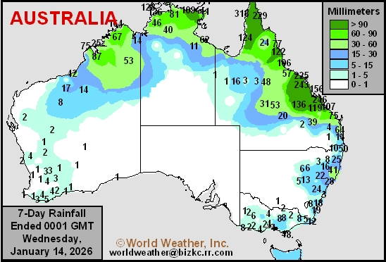
This content is for members only
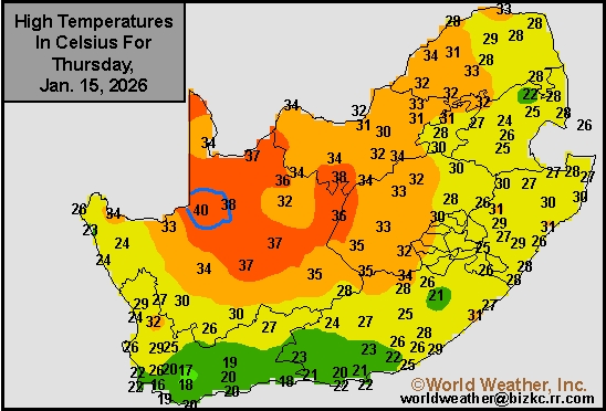
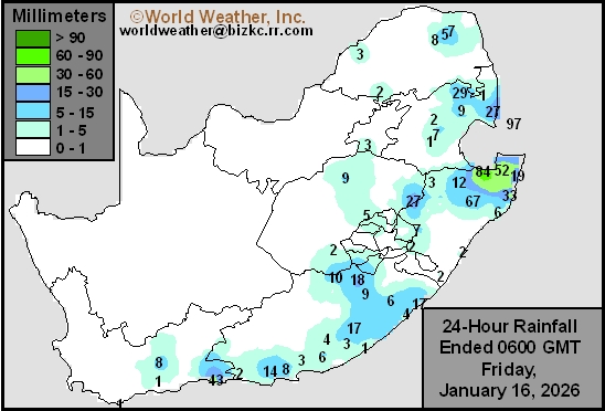
Northeast South Africa Flood Threats Will Remain High
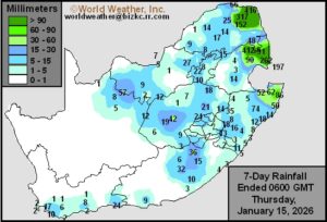
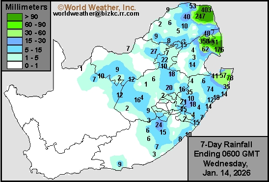
Kansas City, January 15 (World Weather Inc.) – Excessive rainfall from a slow-moving disturbance in the Mozambique Channel this past week induced serious flooding in northeastern parts of South Africa and in neighboring areas of western and southern Mozambique. The impact on personal property, infrastructure and agriculture has been substantial; although the impact was far greater in Mozambique than in South Africa. Nonetheless, news reports from the region claim banana, citrus and mango areas were under water for a while causing harvest delays. Additional rain in coming days will lead to more flooding and an on-going threat of crop and structural damage in eastern Limpopo, eastern Mpumalanga and neighboring areas of Mozambique. While these areas only produce a small amount of coarse grain, oilseed, cotton, and other fruits and vegetables, the crops that are grown may be damaged or completely destroyed. The main production areas in South Africa, otherwise, saw a good mix of rain and sunshine during the past week. Crop conditions remain relatively favorable and will remain good going forward in the coming week. Western fringes of crop country are still drying down a little too much for ideal development and a boost in precipitation would be welcome.
China’s Winter Wheat, Rapeseed Areas Will Receive Rain, Snow
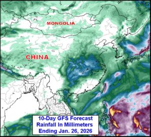
Kansas City, January 15 (World Weather Inc.) – Northern China received varying amounts of snow during the past week while areas farther south were mostly dry. The main winter wheat and rapeseed production areas in the North China Plain and Yangtze River Basin still have enough moisture to support favorable long-term production potentials despite the lack of precipitation. A frontal boundary will bring rain and snow to the winter crop areas in coming days with enough snow to blanket the ground. Temperatures will turn colder behind the cold front and precipitation; though, not cold enough to induce a viable threat to production. Nonetheless, the snow will add a little protection for some crops against the cooler conditions. The moisture resulting from melting snow will be welcome for early season crop development in the spring, although more rain and snow will be needed to more fully replenish the soil with needed moisture.
Florida Citrus Farmers Watch Approaching Cold; Frost Likely
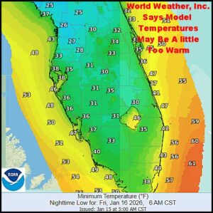
Kansas City, January 15 (World Weather Inc.) – Another unusually cold surge of air is moving through the southeastern United States today and it is expected to bring frost and a few freezes to the Gulf of America coast for at least the fourth time since October on Friday. The cold should not be deep enough to induce serious damage to citrus or sugarcane in the southeastern United States; although it will warrant spray irrigation and some mobile heating units overnight to ensure adequate crop protection especially in northern parts of the citrus belt. Monday may be coolest.
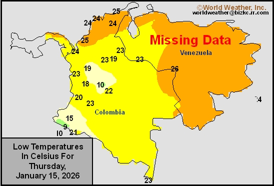
Venezuela/Colombia Min Temps
This content is for members only
Venezuela/Colombia Max Temps
This content is for members only
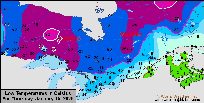
SE Canada Min
This content is for members only
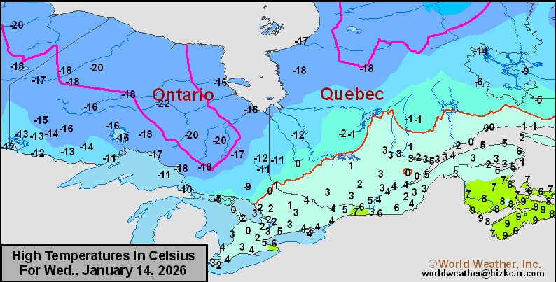
SE Canada Max
This content is for members only
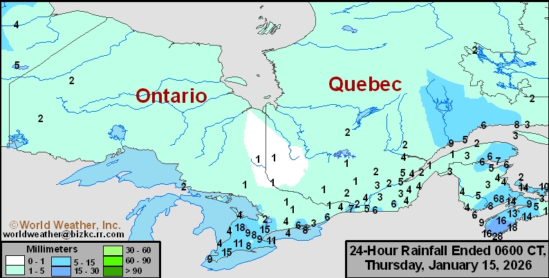
SE Canada Rainfall
This content is for members only
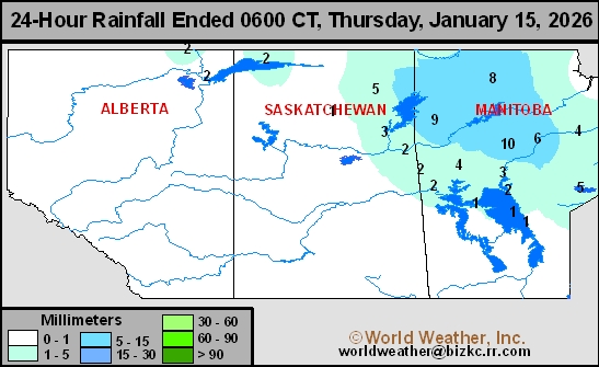
Prairies Rainfall
This content is for members only
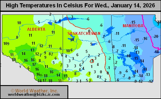
Prairies Max Temperature
This content is for members only
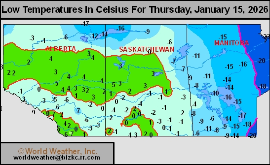
Prairies Min Temperature
This content is for members only
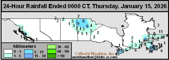
Canada Rainfall
This content is for members only
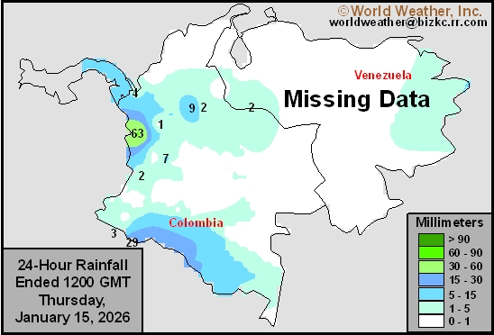
Venezuela Rainfall
This content is for members only
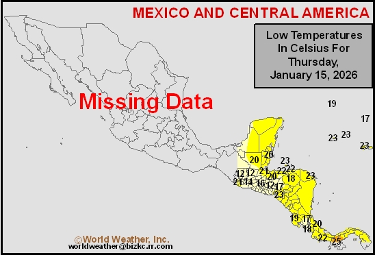
Mexico Min Temperature
This content is for members only
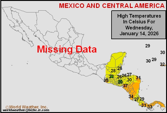
Mexico Max Temperature
This content is for members only
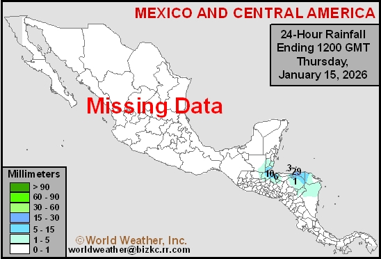
Mexico Rainfall
This content is for members only
Argentina Min Temperature
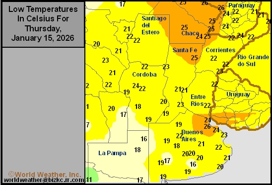
This content is for members only
Argentina Max Temperature
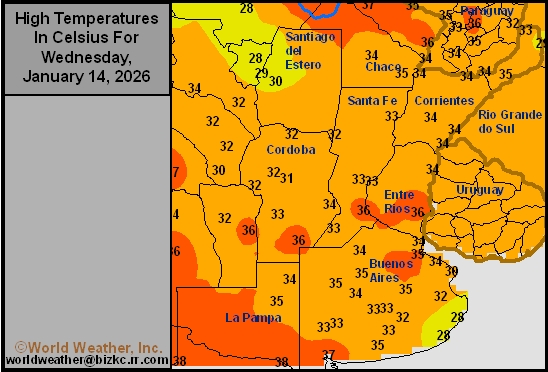
This content is for members only
Argentina Rainfall
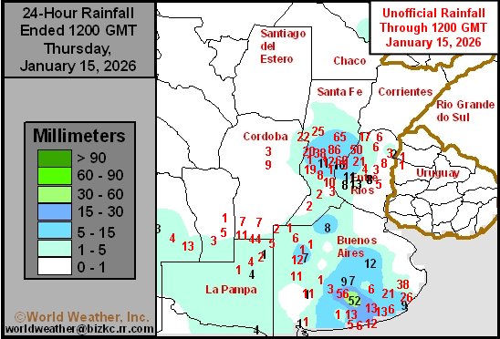
This content is for members only
Brazil Min Temperature
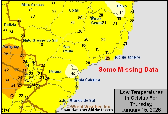
This content is for members only