
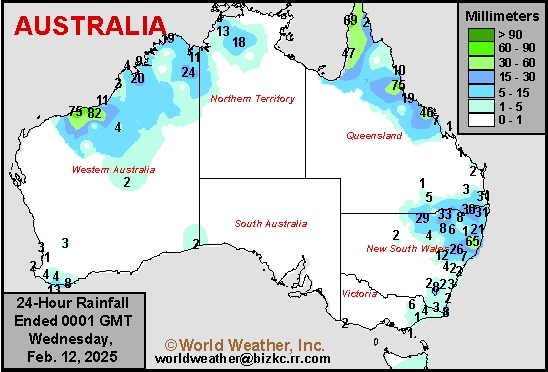
Austrailia Rainfall
This content is for members only
Weekly Citrus Weather For Tuesday, February 11, 2025
Kansas City, February 11 (World Weather Inc.) – Drought and abnormally conditions have expanded across Florida in recent weeks. Irrigation continued to promote a good environment for fruit and tree harvesting and development. The region will have a few opportunities for spotty rainfall during the coming week that will supplement irrigation. Temperatures will remain armer than usual. Brazil’s citrus areas will trend drier than normal during the coming week. No significant impacts are expected, though the need for rain will increase later this month and early March. Veracruz and neighboring locations in Mexico will have several opportunities for rain during the coming week. The precipitation will be welcome for the citrus trees that are flowering or will begin flowering.
Morocco Rain Too Late To Improve Winter Grain Conditions
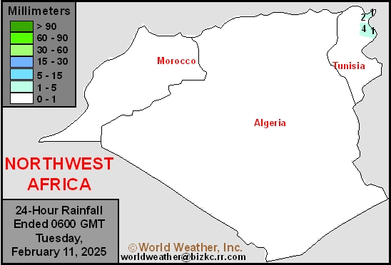
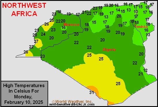
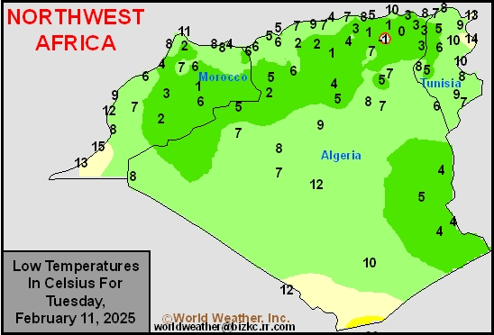
Kansas City, February 11 (World Weather Inc.) – Drought continues across Morocco and northwestern Algeria, despite a few showers earlier this year. The lack of rain over the past week kept the soil much too dry and the lack of irrigation has prevented any of the irrigated crops from being planted as was the case in the past two years. The remainder of Algeria and Tunisia has had more beneficial moisture recently and crop conditions are favorably rated. Some significant rain fell this past weekend in Tunisia which was the greatest rain of the season. Little change is expected over the coming week to ten days. Some rain may fall in a part of Morocco, but it is too late for planting and crop improvements from rain would be limited, although still helpful.
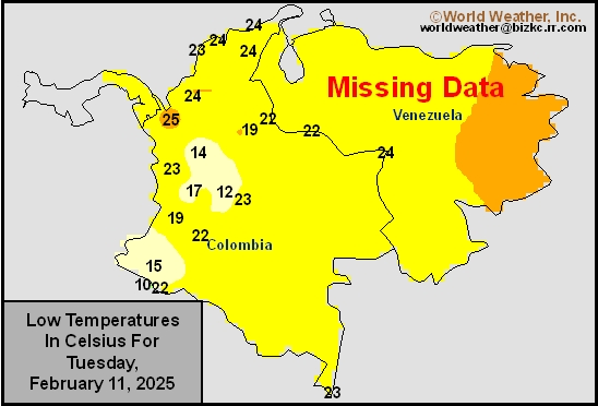
Venezuela/Colombia Min Temps
This content is for members only
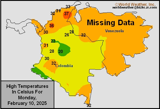
Venezuela/Colombia Max Temps
This content is for members only
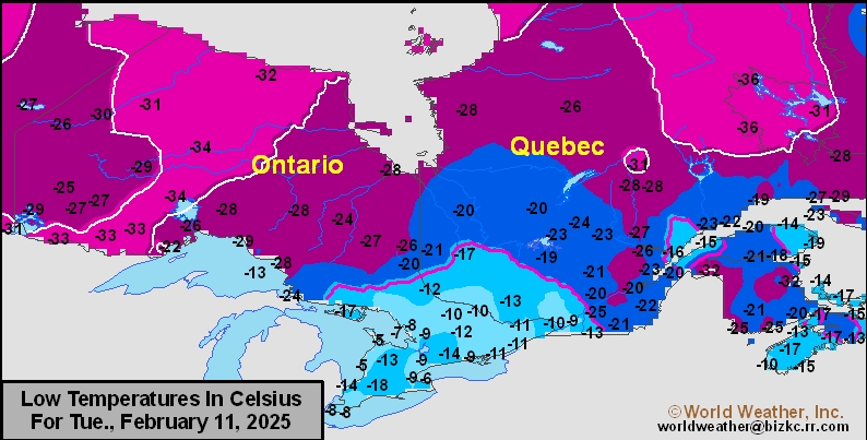
SE Canada Min
This content is for members only
SE Canada Max
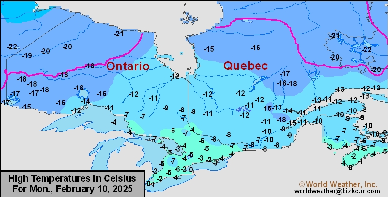
This content is for members only
SE Canada Rainfall
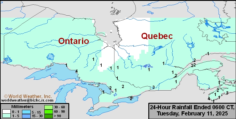
This content is for members only
Prairies Rainfall

This content is for members only
Prairies Max Temperature

This content is for members only
Prairies Min Temperature

This content is for members only
Canada Rainfall

This content is for members only
Venezuela Rainfall
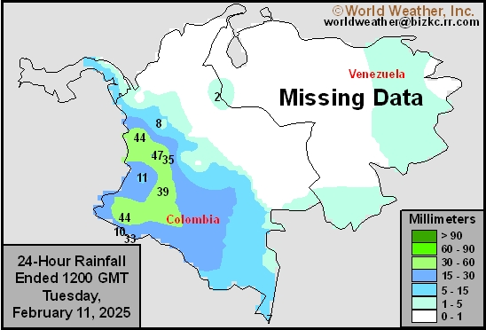
This content is for members only
Mexico Min Temperature
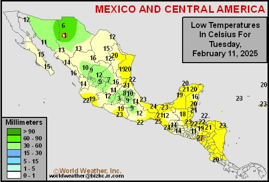
This content is for members only
Mexico Max Temperature
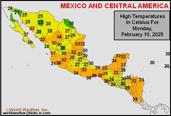
This content is for members only
Mexico Rainfall
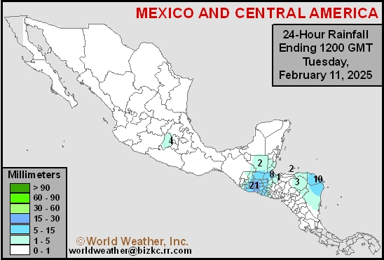
This content is for members only
Argentina Min Temperature
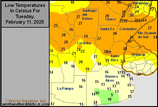
This content is for members only
Argentina Max Temperature
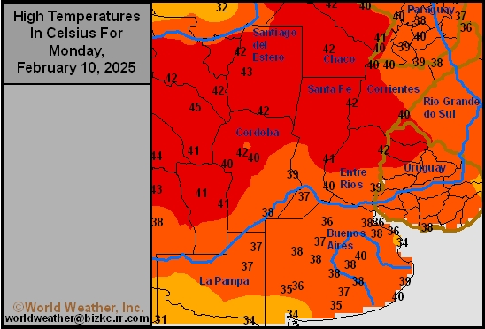
This content is for members only
Argentina Rainfall
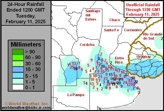
This content is for members only
Brazil Min Temperature
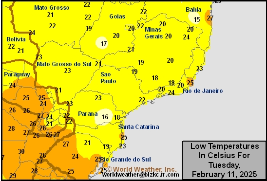
This content is for members only
Brazil Max Temperature
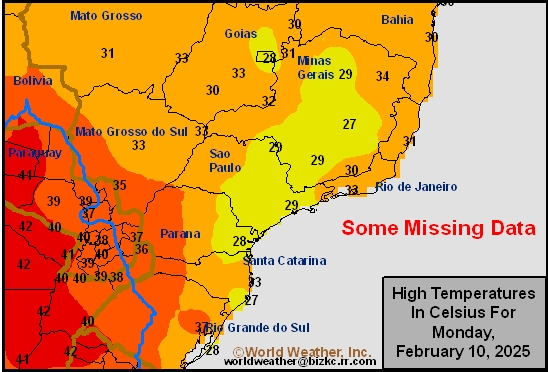
This content is for members only
Brazil Rainfall
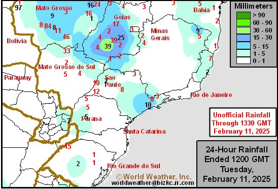
This content is for members only
Philippines Min
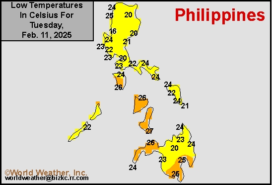
This content is for members only
Philippines Max
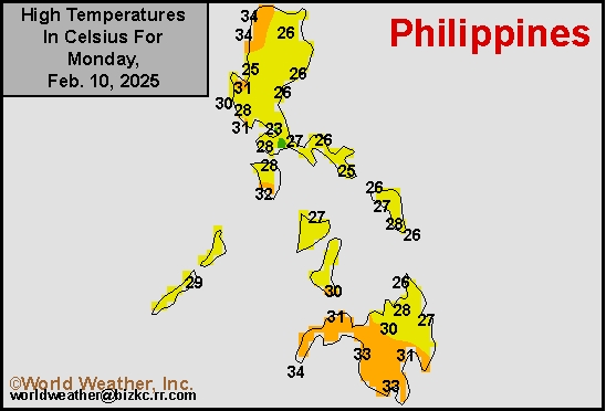
This content is for members only
Philippines Rain
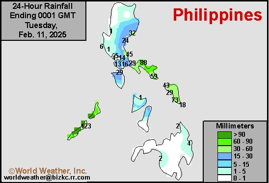
This content is for members only
Southeast North Rain
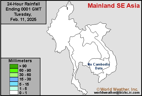
This content is for members only
Southeast North Min
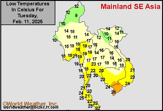
This content is for members only
Southeast North Max
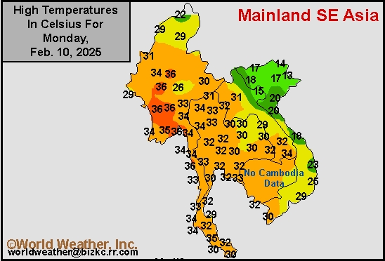
This content is for members only
Southeast Min
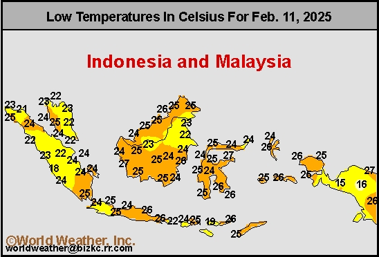
This content is for members only
Southeast Max
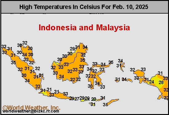
This content is for members only
Southeast Rain
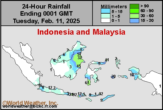
This content is for members only
West Africa Rain
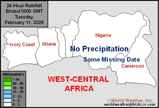
This content is for members only
Max Temperature
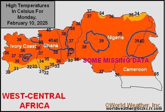
This content is for members only
Min Temperature
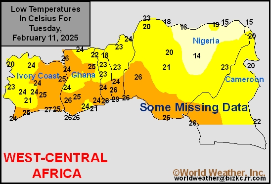
This content is for members only
North Africa Rain
This content is for members only
Max Temperature
This content is for members only
Min Temperature
This content is for members only
Min Temperature
This content is for members only
Max Temperature
This content is for members only
South Africa Rain
This content is for members only
Hard Red Wheat Tmin
This content is for members only
Northeast Tmin
This content is for members only
Southwest Tmin
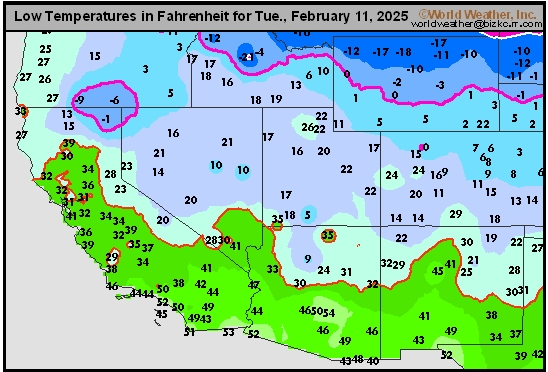
This content is for members only
Northwest Tmin
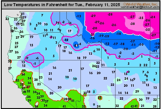
This content is for members only
South Plains Tmin
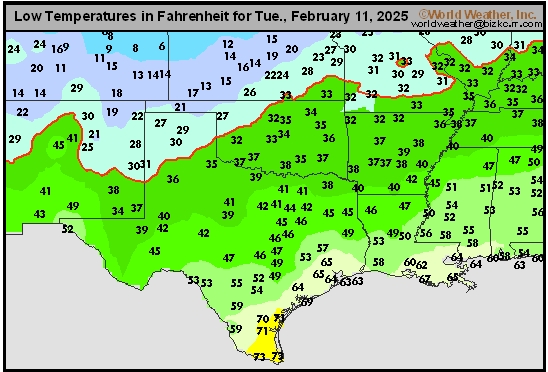
This content is for members only
Delta/SE U.S. Tmin
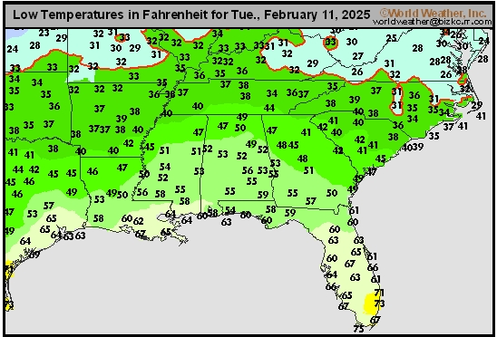
This content is for members only
Corn Belt Tmin
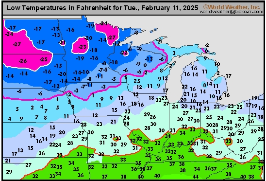
This content is for members only
US Min

This content is for members only
North Plains Tmin
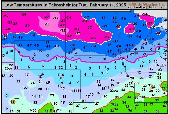
This content is for members only
Hard Red Wheat Tmax
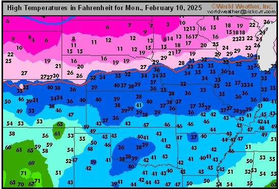
This content is for members only
Northeast Tmax
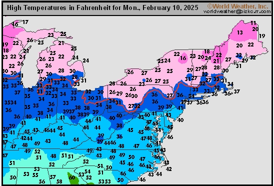
This content is for members only
Southwest Tmax
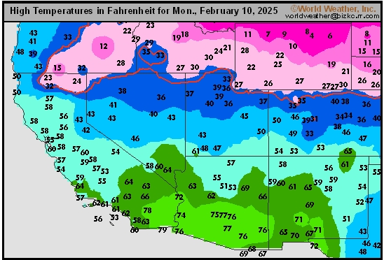
This content is for members only
Northwest Tmax
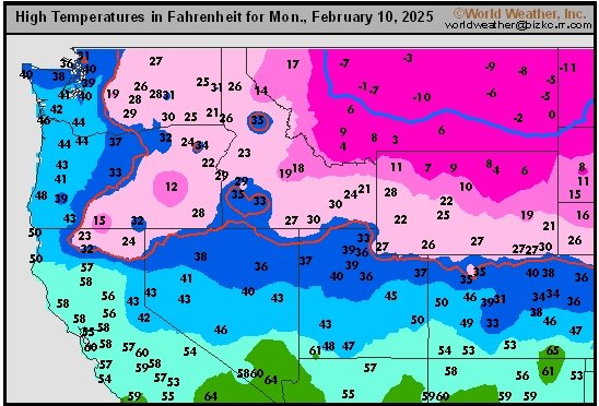
This content is for members only
South Plains Tmax
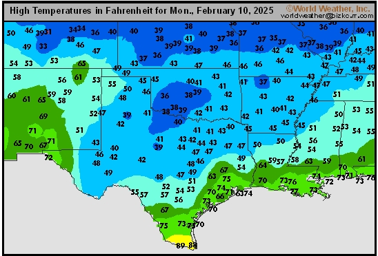
This content is for members only
Delta/SE U.S. Tmax
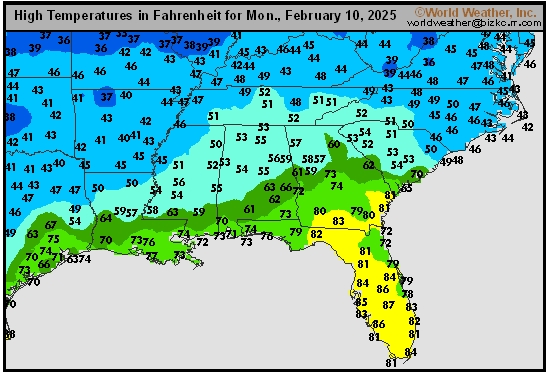
This content is for members only
Corn Belt Tmax
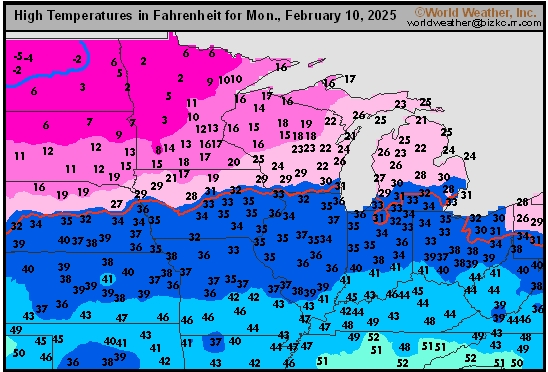
This content is for members only
North Plains Tmax
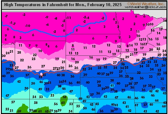
This content is for members only
US Max

This content is for members only
US Rain

This content is for members only
Northeast Daily Rain
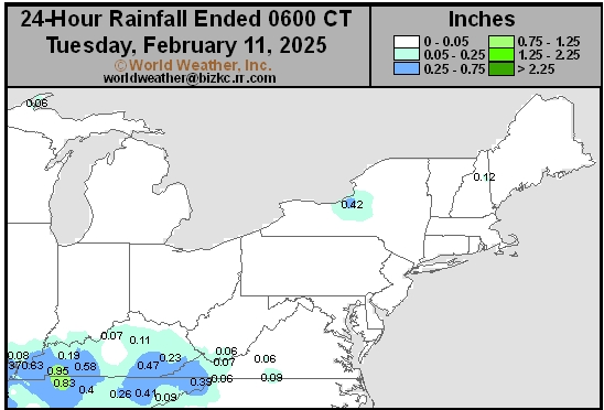
This content is for members only
Hard Red Wheat Daily Rain
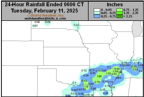
This content is for members only
Southwest Daily Rain
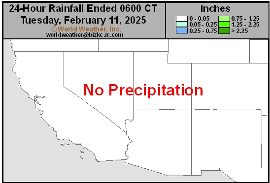
This content is for members only
Northwest Daily Rain
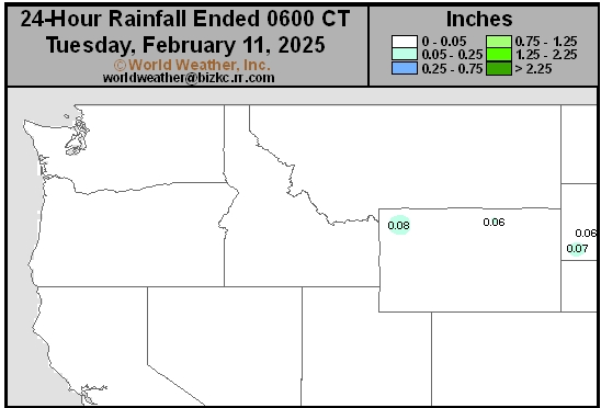
This content is for members only
South Plains Daily Rain
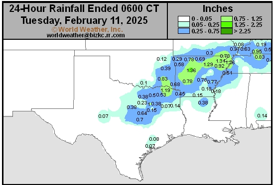
This content is for members only
Delta/SE U.S. Daily Rain
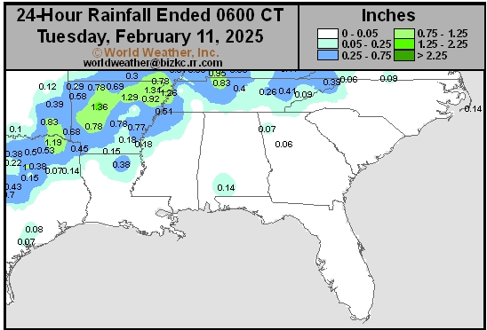
This content is for members only
Corn Belt Daily Rain
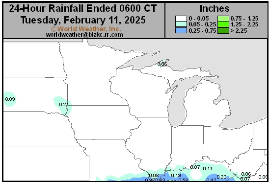
This content is for members only
North Plains Daily Rain
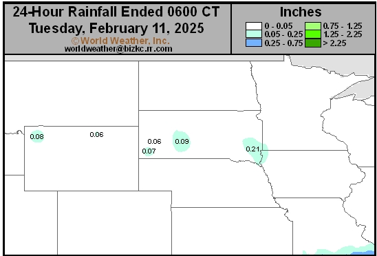
This content is for members only
Low Temperature
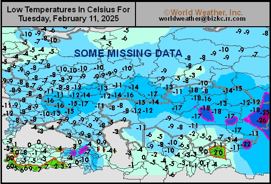
This content is for members only
High Temperature
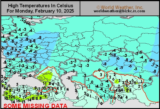
This content is for members only
CIS Rainfall
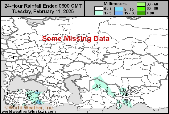
This content is for members only
Low Temperature
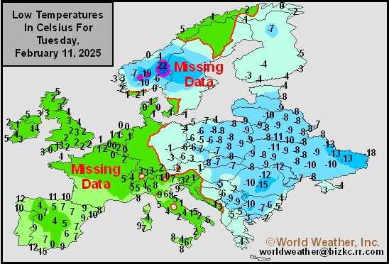
This content is for members only
High Temperature
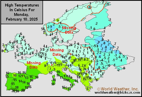
This content is for members only
Europe Rainfall
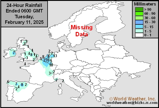
This content is for members only
Low Temperature
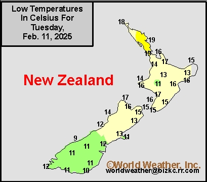
This content is for members only
High Temperature
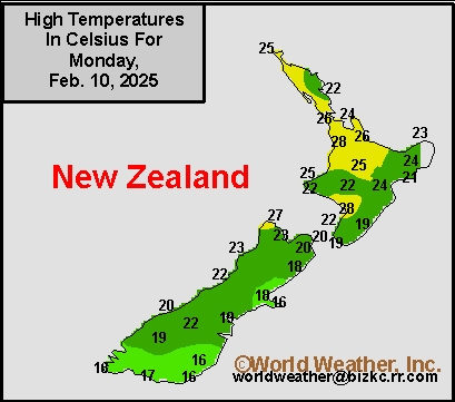
This content is for members only
New Zealand Rainfall
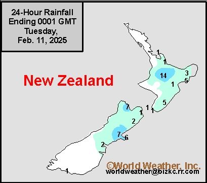
This content is for members only
Low Temperature
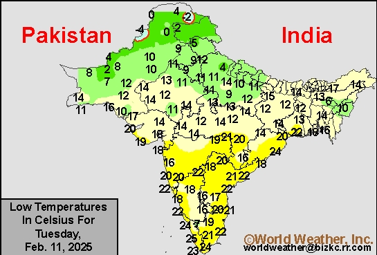
This content is for members only
High Temperature
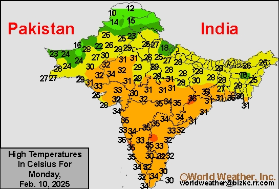
This content is for members only
India Rainfall
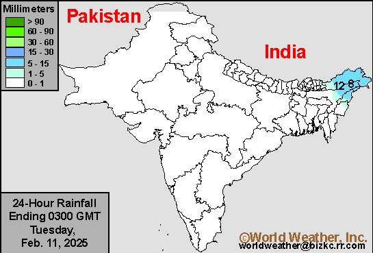
This content is for members only
Low Temperature
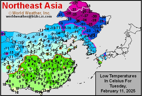
This content is for members only
Japan Rainfall
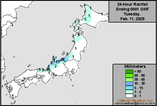
This content is for members only
Low Temperature
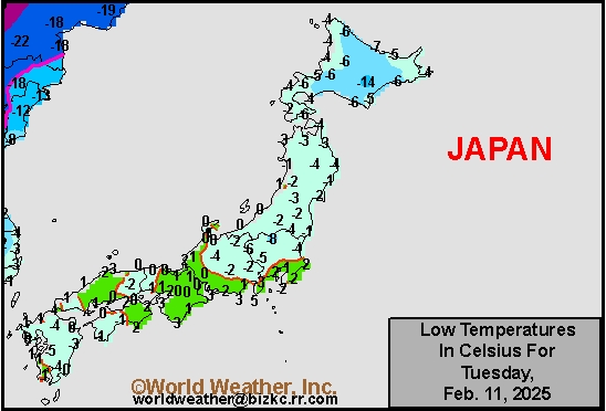
This content is for members only
High Temperature
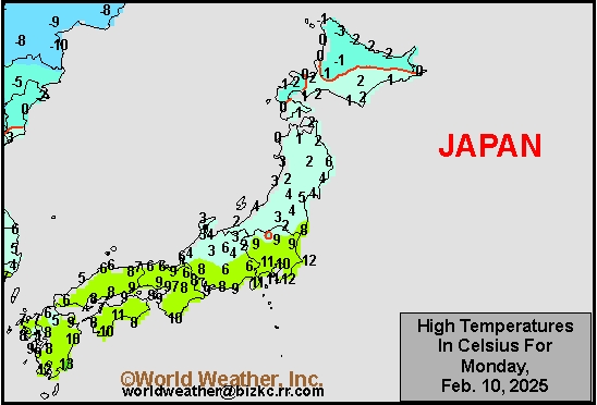
This content is for members only
High Temperature
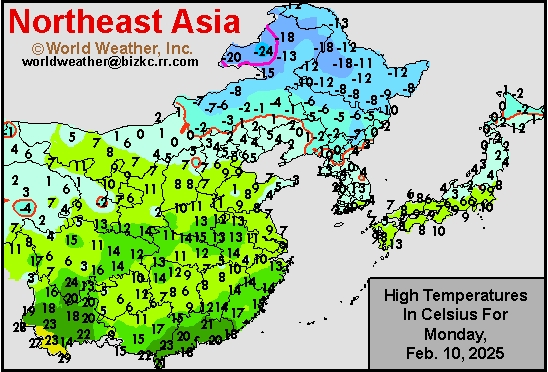
This content is for members only
China Rainfall
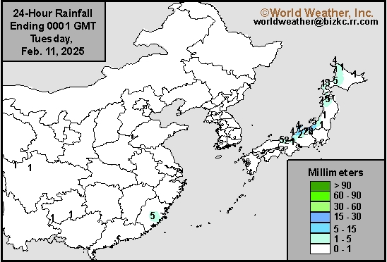
This content is for members only
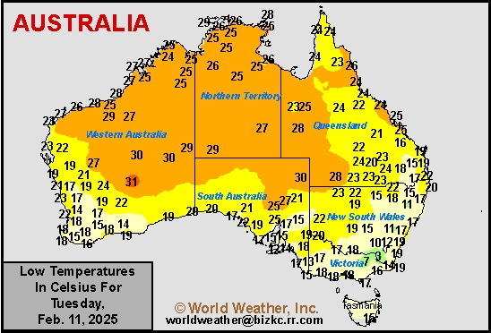
Low Temperature
This content is for members only
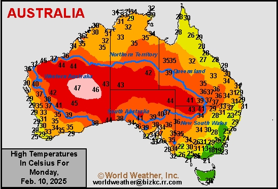
High Temperature
This content is for members only
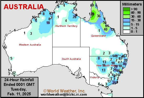
Austrailia Rainfall
This content is for members only
Mato Grosso Soybean Harvest May Remain Sluggish
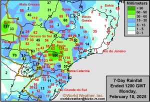
Kansas City, February 10 (World Weather Inc.) – Brazil’s soybean harvest is behind last year’s pace in part due to wet weather in some of the main production areas in recent weeks. As a result, safrinha corn planting is behind last year’s pace as well. With drier weather slated for several areas from center-south and northeastern Brazil into Mato Grosso do Sul this week, the harvest pace, along with safrinha corn planting progress, may advance more swiftly. Mato Grosso and portions of southern Brazil will see more frequent rainfall this week that may continue to promote sluggish harvesting and safrinha corn planting. In the meantime, some of the main sugarcane, citrus, and coffee areas will dry down this week due to the lack of abundant rain. As long as timely rain returns later this month, no major production impacts are expected.
Argentina To Receive More Rain; Minor Improvements Possible
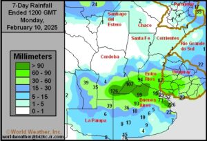
Kansas City, February 10 (World Weather Inc.) – Much-needed rain was noted in northern sections of Buenos Aires and La Pampa into southern sections of Cordoba, Santa Fe, and Entre Rios, Argentina during the past week. The rain helped bolster soil moisture and improved conditions for new coarse grain, oilseed, and other crop development. Areas farther north in Argentina were mostly dry with substantial moisture deficits persisting. While the rain was welcome where it occurred, the rain was too late to support ideal prospects for the earlier-planted crops. Crops were damaged by dryness and heat in January and production potentials were reduced as a result. The driest areas in central and northern Argentina will see a mix of rain and dry weather this week. Central Argentina will see the moisture profile increase gradually and some improvements to the crops are expected. Overall yields are still expected to be lower than earlier estimates despite the timely rain.
La Nina Near Its Second Peak; Weakening Likely
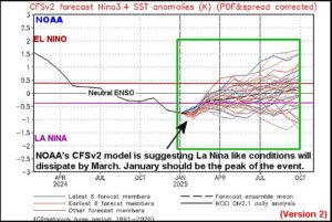
Kansas City, February 11 (World Weather Inc.) – Weak La Nina conditions have had a mixed influence on weather around the world. Some areas, like South America, portions of the United States and Southeast Asia have seen traditional La Nina influences while India, North Africa, southwestern Europe and South Africa have not. This is a classic example of weak La Nina events and the variance has to do with the strength of other prevailing weather patterns. The recent strong rise in the Southern Oscillation Index (SOI) is occurring after another bout of strong easterly trade winds and new upwelling occurred in the eastern equatorial Pacific Ocean. All of these factors are related to a short term strengthening in the La Nina event. The event is just about to peak out and most indicators now suggest weakening will begin in late February and continue throughout March.
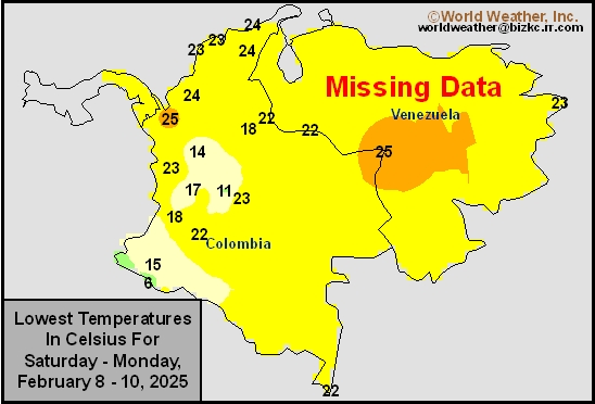
Venezuela/Colombia Min Temps
This content is for members only
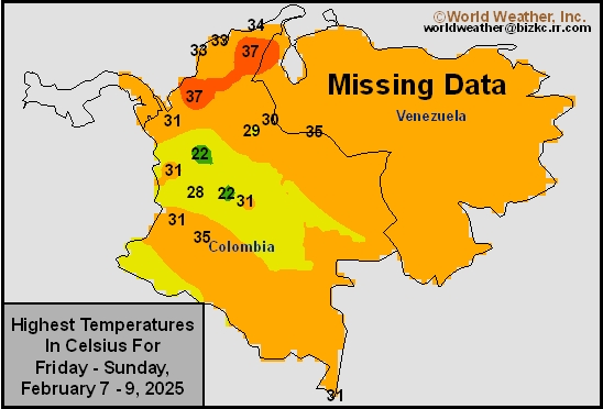
Venezuela/Colombia Max Temps
This content is for members only
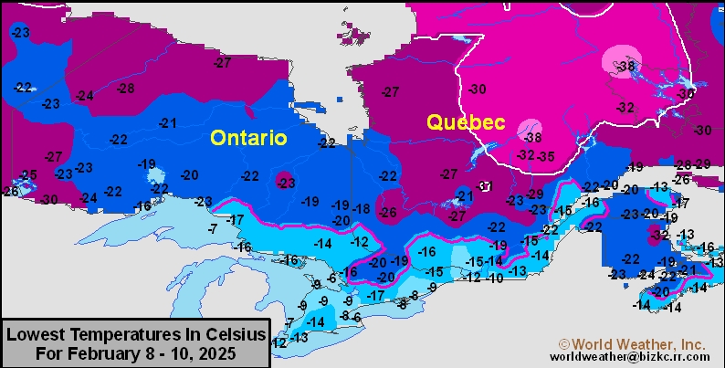
SE Canada Min
This content is for members only
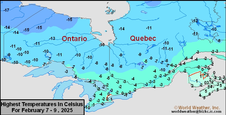
SE Canada Max
This content is for members only
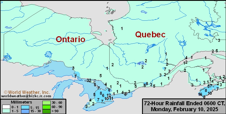
SE Canada Rainfall
This content is for members only
Prairies Rainfall

This content is for members only
Prairies Max Temperature

This content is for members only
Prairies Min Temperature

This content is for members only
Canada Rainfall

This content is for members only