
Soil Temperature

This content is for members only
Soil Temperature
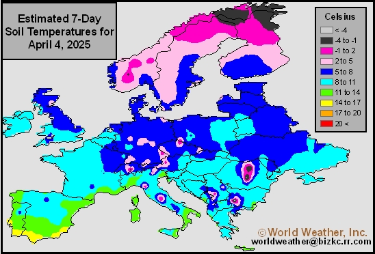
This content is for members only
Soil Temperature
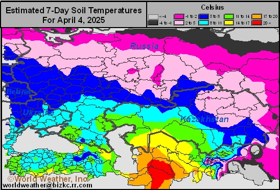
This content is for members only
Soil Temperature
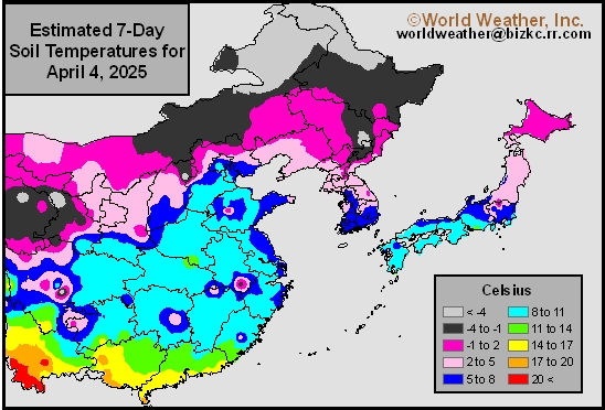
This content is for members only
Soil Temperature

This content is for members only
Subsoil Moisture

This content is for members only
Topsoil Moisture

This content is for members only
Subsoil Moisture
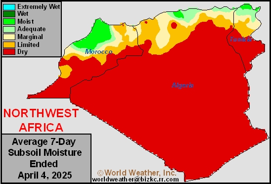
This content is for members only
Topsoil Moisture
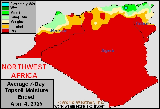
This content is for members only
Subsoil Moisture
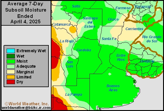
This content is for members only
Topsoil Moisture
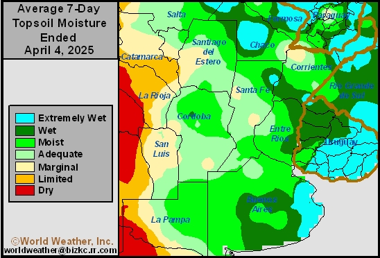
This content is for members only
Subsoil Moisture
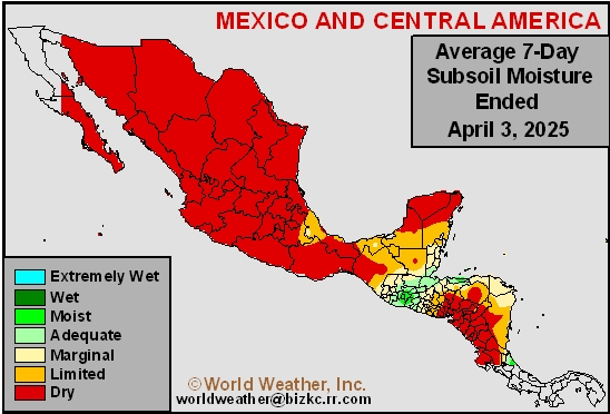
This content is for members only
Topsoil Moisture
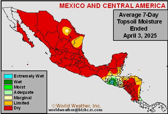
This content is for members only
Subsoil Moisture
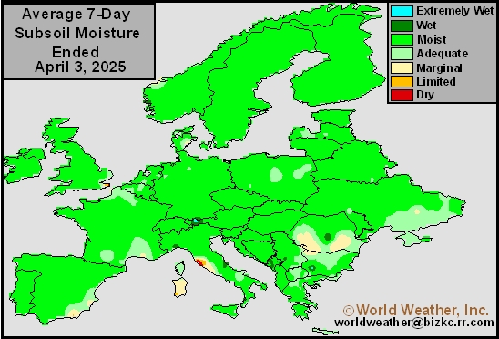
This content is for members only
Topsoil Moisture
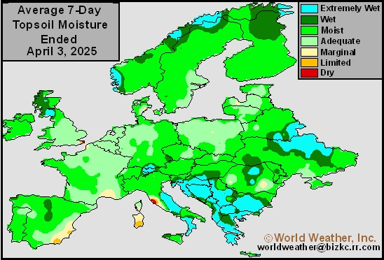
This content is for members only
Subsoil Moisture
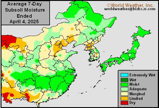
This content is for members only
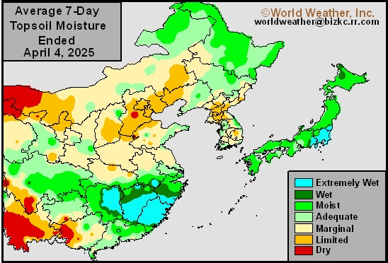
Topsoil Moisture
This content is for members only
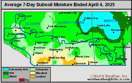
Subsoil Moisture
This content is for members only
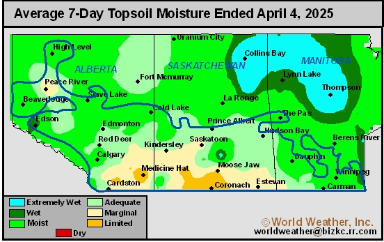
Topsoil Moisture
This content is for members only
Subsoil Moisture

This content is for members only
Topsoil Moisture

This content is for members only
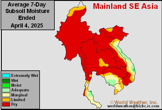
Subsoil Moisture
This content is for members only
Topsoil Moisture
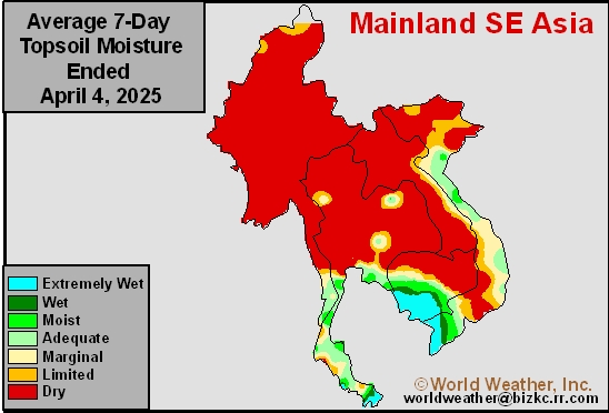
This content is for members only
Subsoil Moisture
This content is for members only
Topsoil Moisture
This content is for members only
Subsoil Moisture
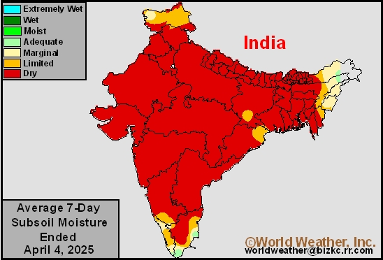
This content is for members only
Topsoil Moisture
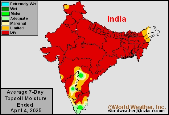
This content is for members only
Subsoil Moisture
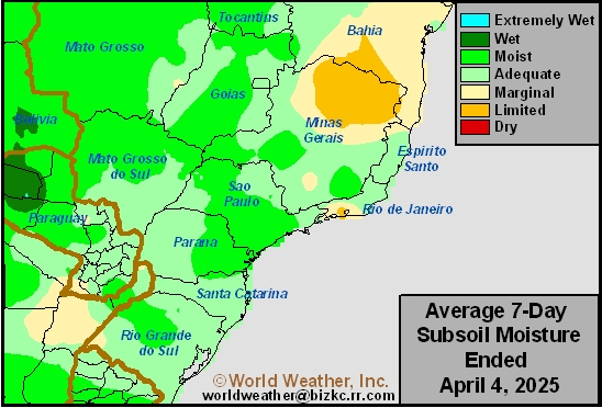
This content is for members only
Topsoil Moisture
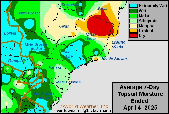
This content is for members only
Subsoil Moisture
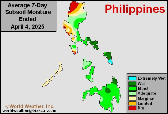
This content is for members only
Topsoil Moisture
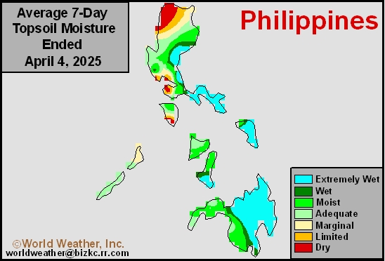
This content is for members only
Subsoil Moisture
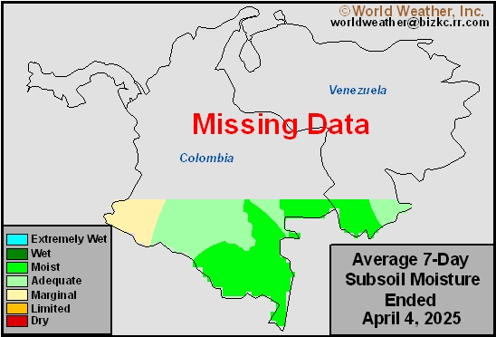
This content is for members only
Topsoil Moisture
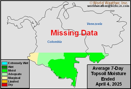
This content is for members only
Subsoil Moisture
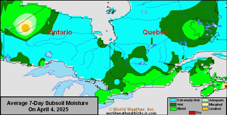
This content is for members only
Topsoil Moisture
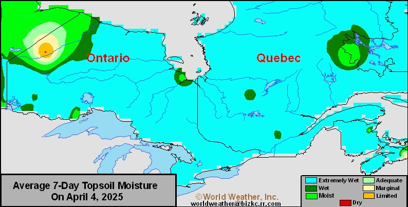
This content is for members only
Subsoil Moisture
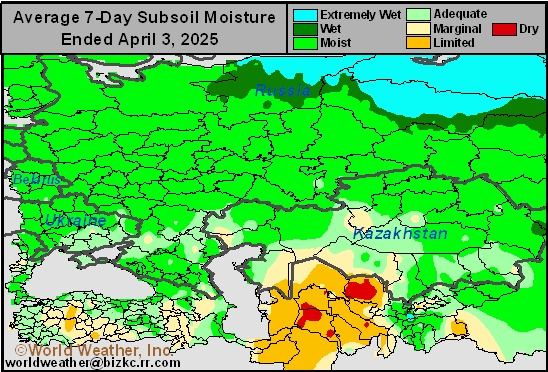
This content is for members only
Topsoil Moisture
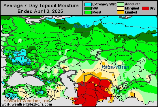
This content is for members only
Subsoil Moisture

This content is for members only
Topsoil Moisture

This content is for members only
Topsoil Moisture
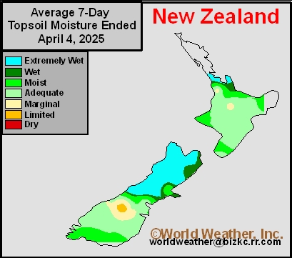
This content is for members only
Subsoil Moisture
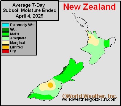
This content is for members only
Subsoil Moisture
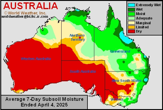
This content is for members only
Topsoil Moisture
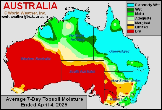
This content is for members only
Subsoil Moisture

This content is for members only
Topsoil Moisture

This content is for members only
Subsoil Moisture
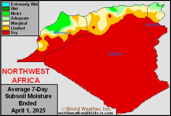
This content is for members only
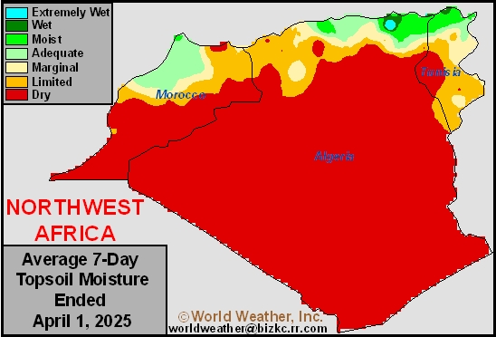
Topsoil Moisture
This content is for members only
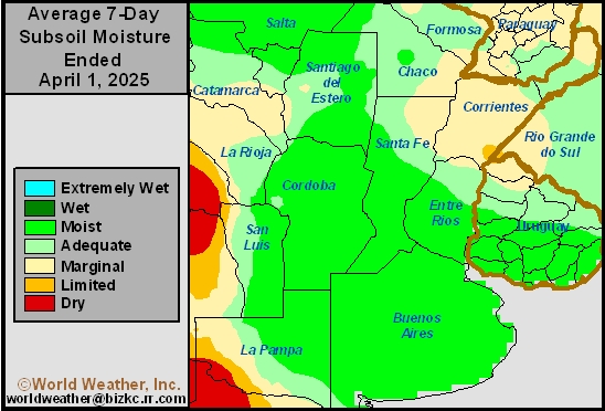
Subsoil Moisture
This content is for members only
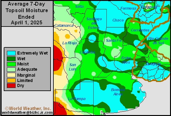
Topsoil Moisture
This content is for members only
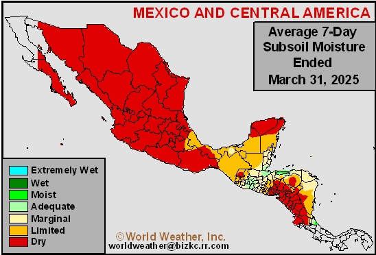
Subsoil Moisture
This content is for members only
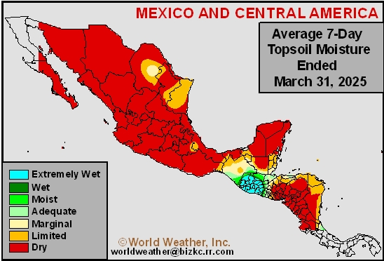
Topsoil Moisture
This content is for members only
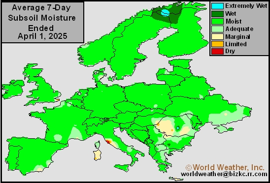
Subsoil Moisture
This content is for members only
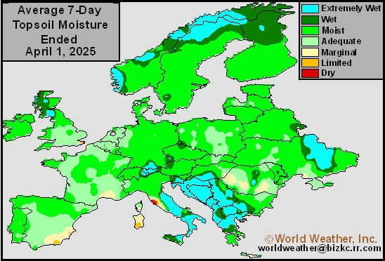
Topsoil Moisture
This content is for members only
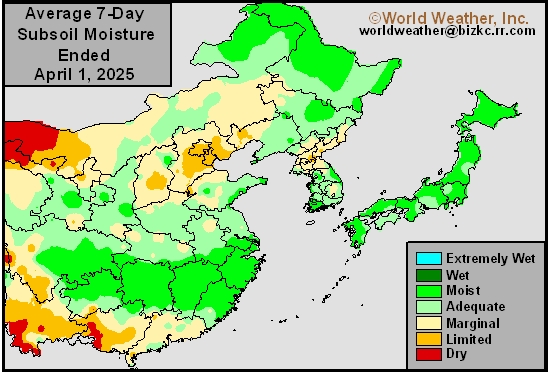
Subsoil Moisture
This content is for members only
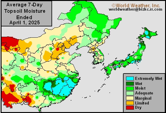
Topsoil Moisture
This content is for members only
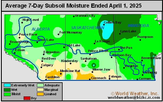
Subsoil Moisture
This content is for members only
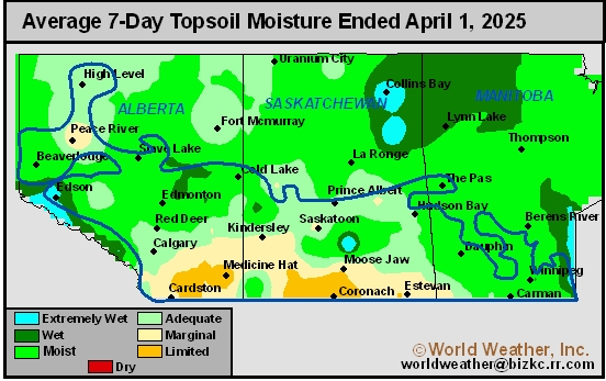
Topsoil Moisture
This content is for members only
Subsoil Moisture

This content is for members only
Topsoil Moisture

This content is for members only
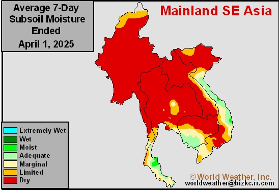
Subsoil Moisture
This content is for members only
Topsoil Moisture
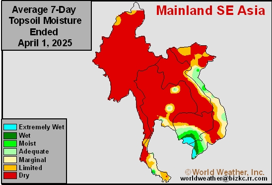
This content is for members only
Subsoil Moisture
This content is for members only
Topsoil Moisture
This content is for members only
Subsoil Moisture
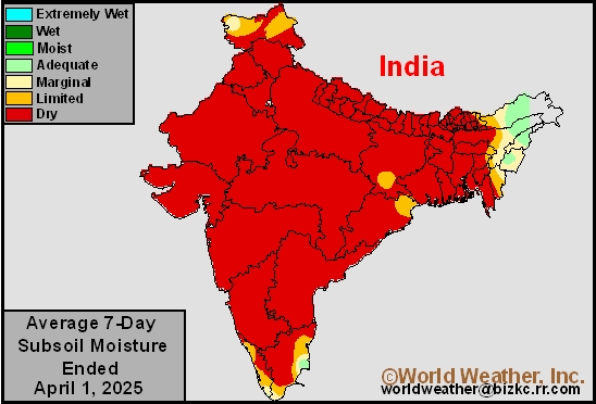
This content is for members only
Topsoil Moisture
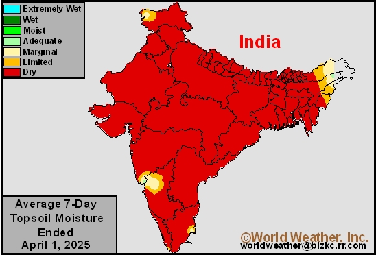
This content is for members only
Subsoil Moisture
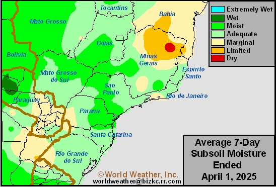
This content is for members only
Topsoil Moisture
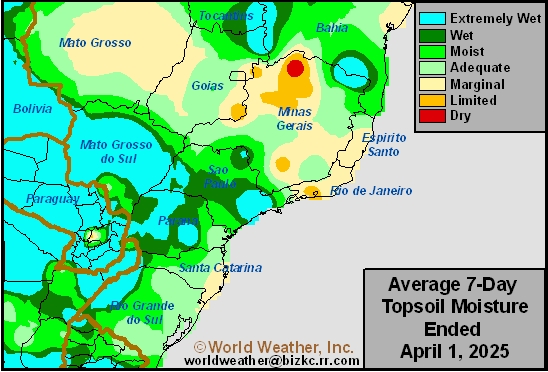
This content is for members only
Subsoil Moisture
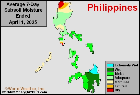
This content is for members only
Topsoil Moisture
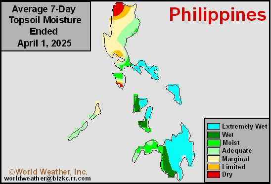
This content is for members only
Subsoil Moisture
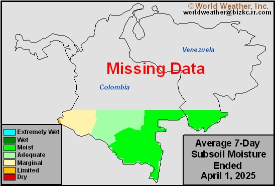
This content is for members only
Topsoil Moisture
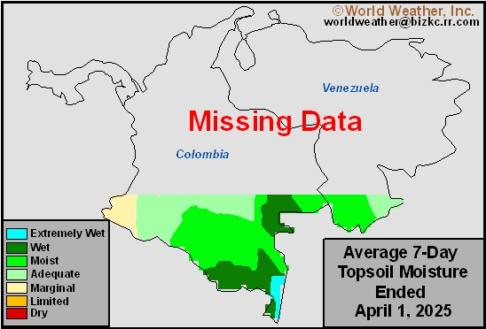
This content is for members only
Subsoil Moisture
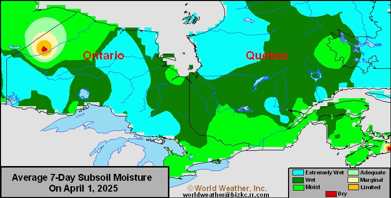
This content is for members only
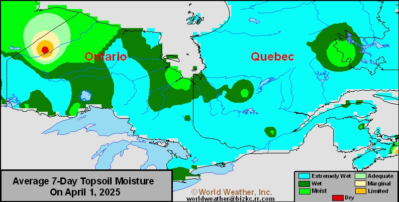
Topsoil Moisture
This content is for members only
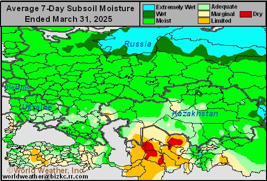
Subsoil Moisture
This content is for members only
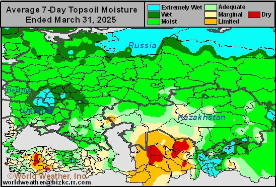
Topsoil Moisture
This content is for members only
Subsoil Moisture

This content is for members only
Topsoil Moisture

This content is for members only
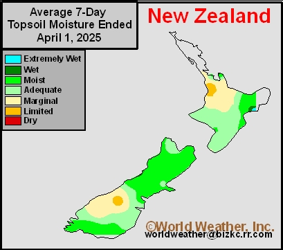
Topsoil Moisture
This content is for members only
Subsoil Moisture
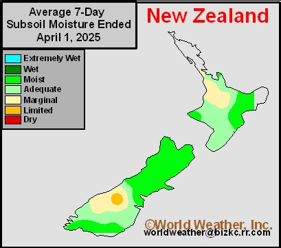
This content is for members only
Subsoil Moisture
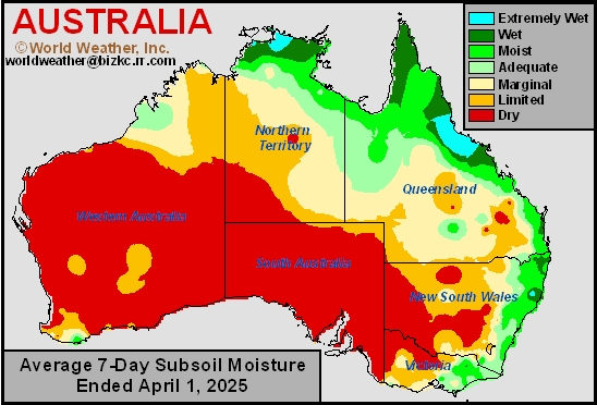
This content is for members only
Topsoil Moisture
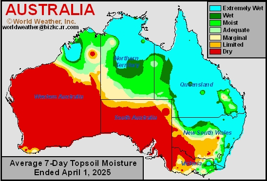
This content is for members only
South Africa Trending A Little Too Wet For Early Harvest
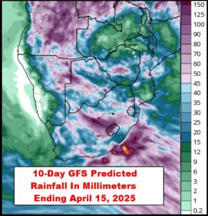
Kansas City, April 3 (World Weather Inc.) – Waves of rain have helped maintain a good environment for late-season summer crop development in much of South Africa recently; however, the rain has disrupted fieldwork periodically. Most of the rain has been spread out enough over time to support mostly good crop maturation and early harvest conditions, although some disruption has occurred. Additional waves of rain are expected for most of the nation’s summer crop areas during the next week and they will significantly bolster soil moisture possibly leading to a little flash flooding. Field working delays will become more significant and a few crops could experience a quality decline because of the wetter bias.
Central, SW U.S. Dryness May Prevail Into July
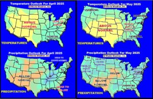
Kansas City, April 4 (World Weather Inc.) – “Portions” of the central and southwestern United States have been struggling with below normal precipitation since the latter half of summer 2024 with the exception of November. World Weather, Inc. believes a part of this dryness will likely prevail through the balance of spring and into early summer. In the meantime, a wetter bias is expected at times in the eastern Midwest and a part of the Delta and a change toward wetter conditions should evolve in the far northern Plains and upper Midwest late this spring followed by a drier bias in July. The southeastern states will experience less than usual rain during the spring and then greater rain during the summer. Temperatures should be most anomalously warm in the central states and a part of the Rocky Mountain region until July.
Central U.S. To See Another Bout Of Heat, Dryness
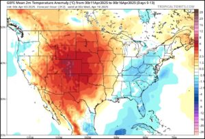
Kansas City, April 3 (World Weather Inc.) – This week’s incredible rain event slated for areas from Arkansas to the Ohio River Valley, the snow and rain event in the upper U.S. Midwest and northeastern Plains and the coming rain event for the southwestern U.S. Plains leaves much hope for spring weather to be more “normal” this year. However, it is not likely to end up that way for some parts of the central United States. After this week’s three significant precipitation events a large ridge of high pressure is expected to evolve and it promises to generate some significant heat in the western half of North America and limit rainfall. The ridge will contribute to a new round of hot weather in the Great Plains and Rocky Mountain region and several days of very strong wind near and shortly after mid-month.
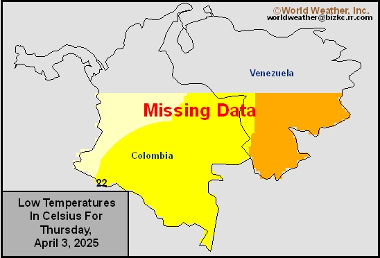
Venezuela/Colombia Min Temps
This content is for members only
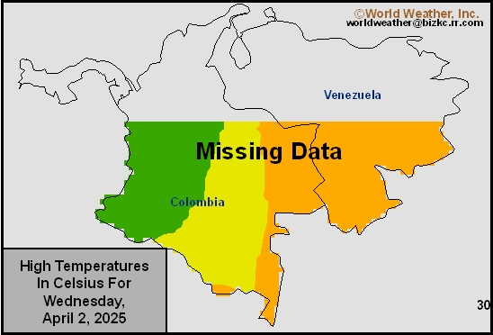
Venezuela/Colombia Max Temps
This content is for members only
SE Canada Min
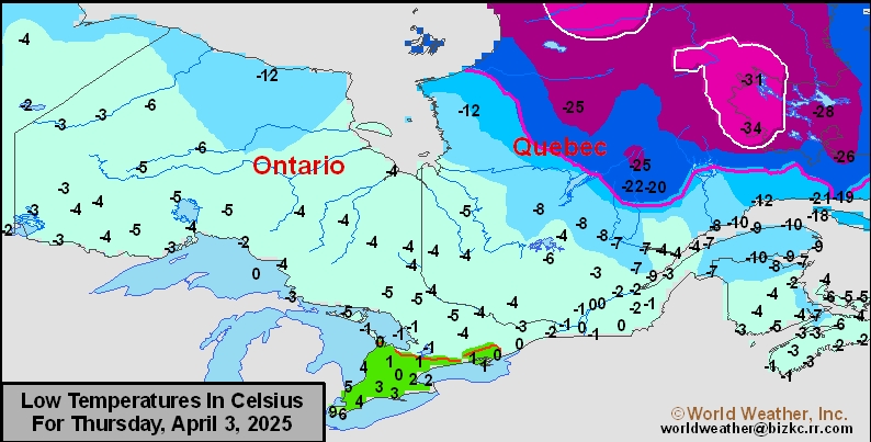
This content is for members only
SE Canada Max
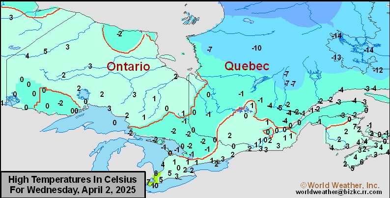
This content is for members only
SE Canada Rainfall
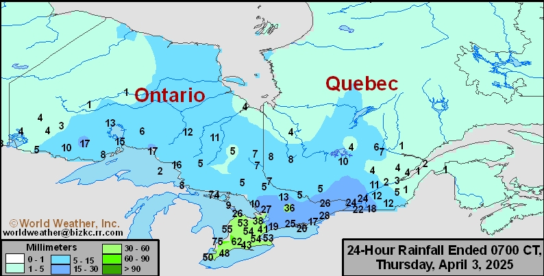
This content is for members only
Prairies Rainfall

This content is for members only
Prairies Max Temperature

This content is for members only
Prairies Min Temperature

This content is for members only
Canada Rainfall

This content is for members only
Venezuela Rainfall
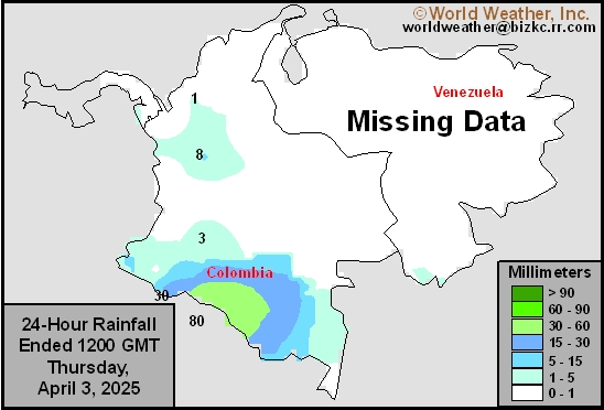
This content is for members only
Mexico Min Temperature
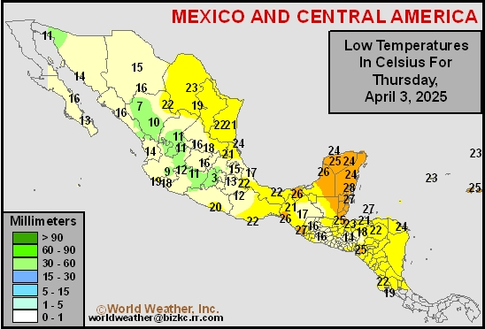
This content is for members only
Mexico Max Temperature
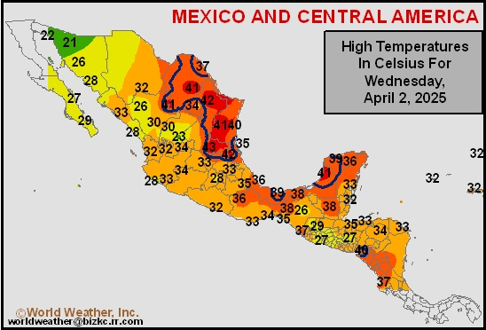
This content is for members only
Mexico Rainfall
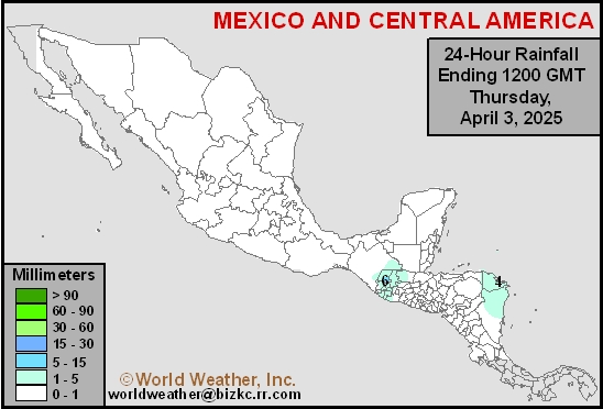
This content is for members only
Argentina Min Temperature
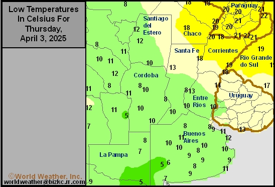
This content is for members only
Argentina Max Temperature
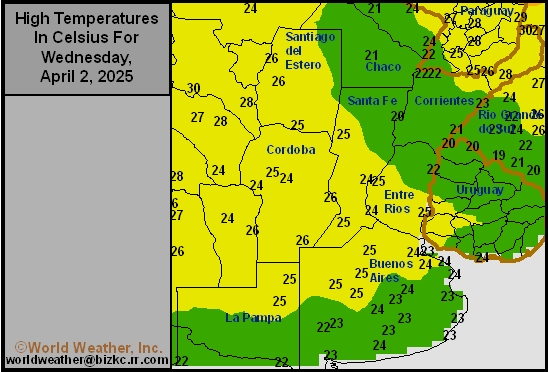
This content is for members only
Argentina Rainfall
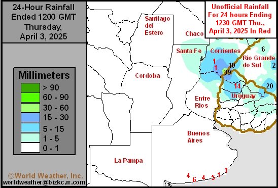
This content is for members only